©©Visit Éislek
Éislek Germany France

Nature Trail Cornelys Millen

Hunting Season 2026/27 — Check for hunts

Autumn is here, and that means hunting season has begun! From mid-October to January/February, hunters are active across the country. Stay safe by checking hunt dates in your area on our Map. 

Click on Map in the Header > Services > More > Hunting.

Starting point

Troisvierges Station

Destination

Troisvierges Station

Distance
9,19 km
Duration
2:30 h
Difficulty
medium
  • Condition
Highest point
500 Hm
Lowest point
423 Hm
Aggregated Ascent
115 Hm
Aggregated Descent
115 Hm
Thematic paths Visit Éislek

Description

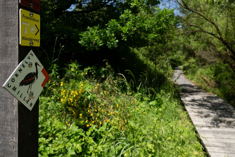
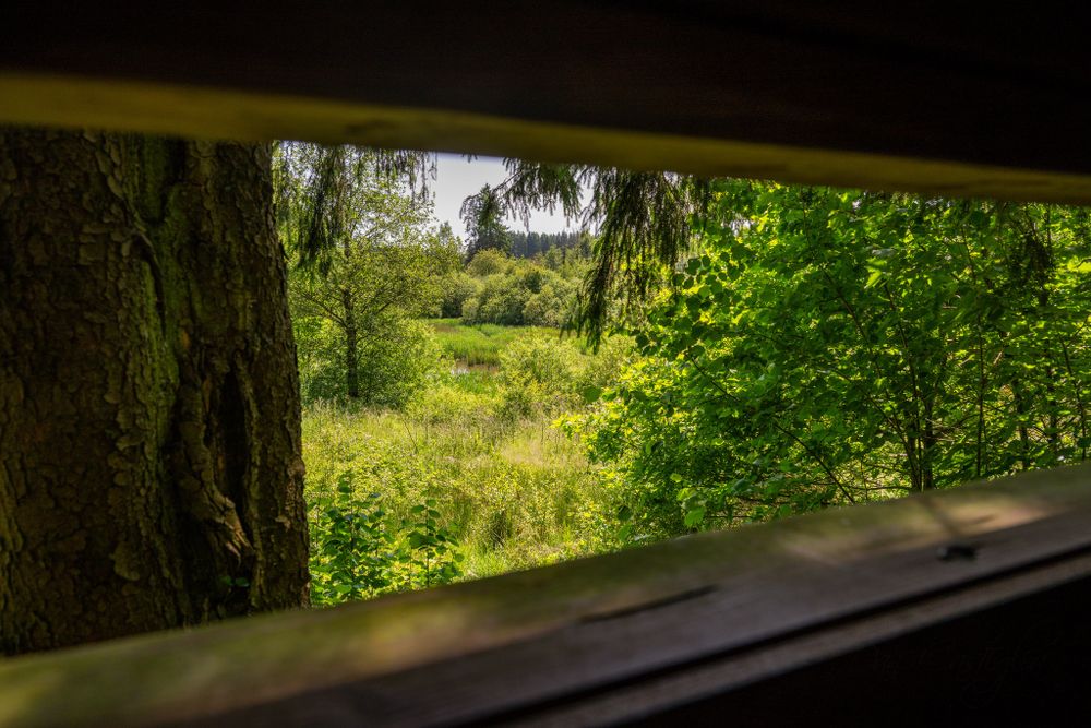
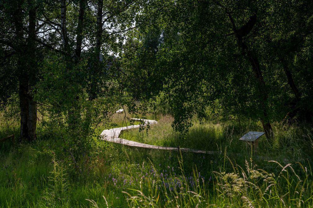
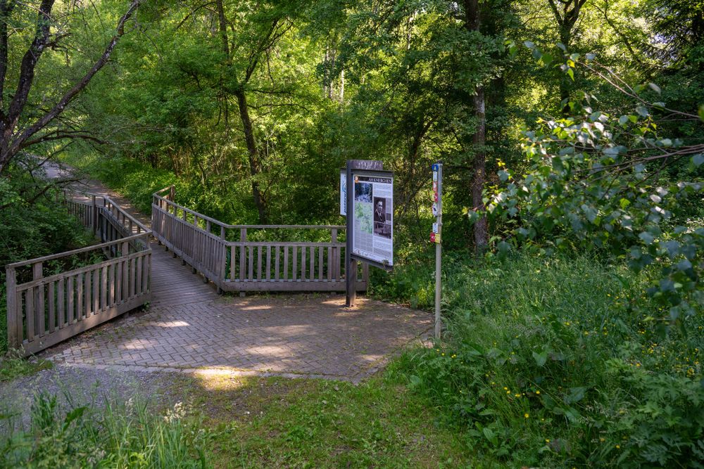
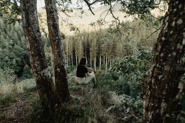
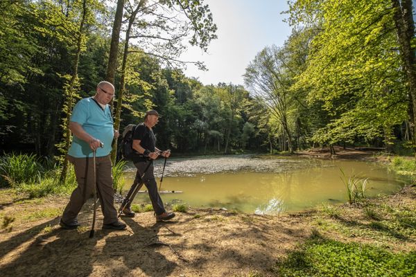
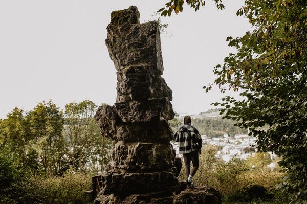
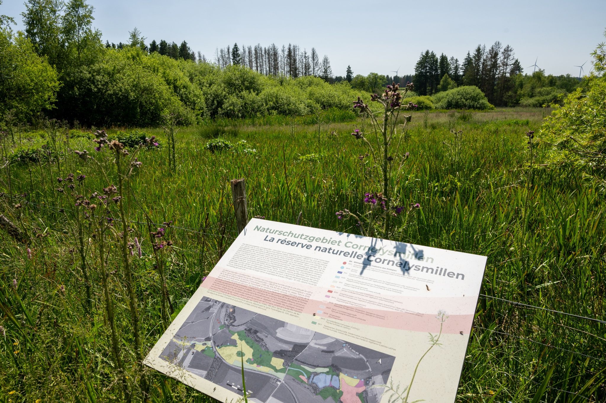
On 10.5 km, walkers discover the wetlands of Éislek. The path partly leads over wooden walkways, offers access to observation huts, and provides the chance to encounter rare species.

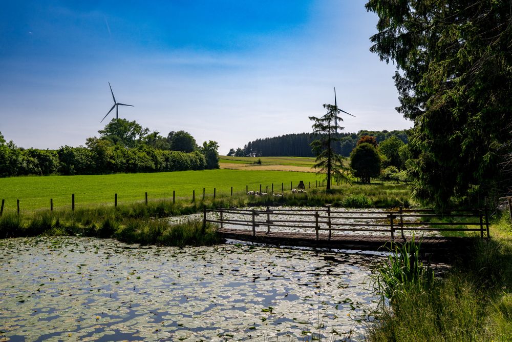
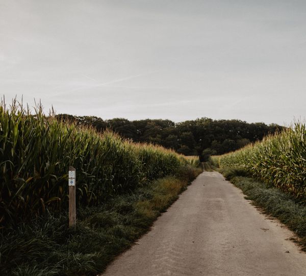
This circular route leads through the impressive Cornelysmillen wetland. Between Troisvierges, Basbellain, and Wilwerdange, walkers discover a varied landscape with meadows, hedges, ponds, and streams. In short: a habitat for many rare animal and plant species.

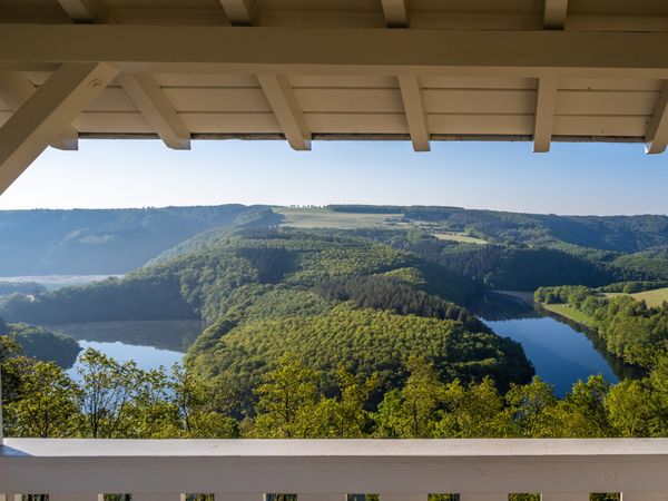
Wooden walkways, observation huts, and information boards provide exciting insights along the way. With some luck, the shy black stork can even be spotted. Ornithologists regularly sight it here. The start and end point is the station in Troisvierges – perfect for environmentally friendly arrival. The path is not barrier-free but ideal for all who want to experience nature intensively.

Suggestions nearby

Nature Trail Cornelys Millen

  • ©Commune de Troisvierges
    Troisvierges Trainstation
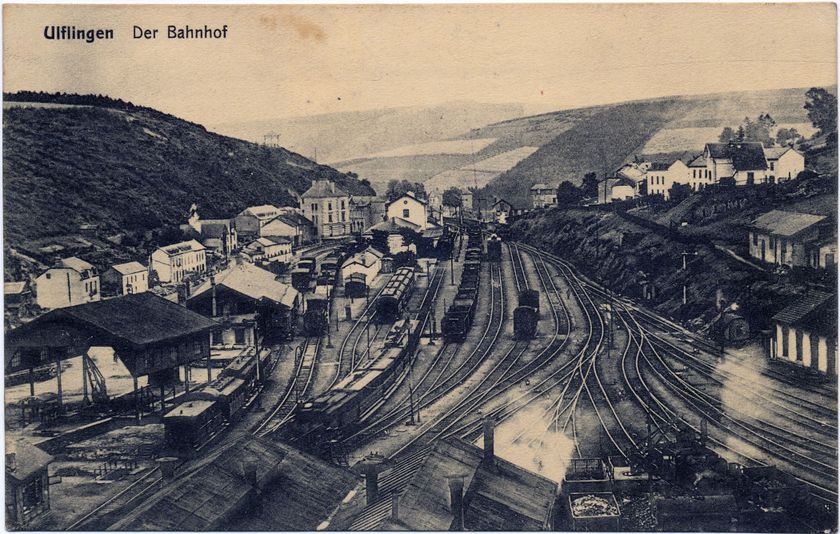
    Troisvierges Station's story mirrors a dynamic era in European history. From a modest border stop, it transformed into a vital transportation hub, only to witness the turmoil of war and the gradual shift toward quieter days.
    Find out more

Similar hiking tours

©Visit Luxembourg
Circular routes
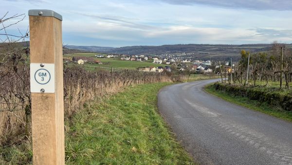
Local hiking trail GM3 - Groësteen
Distance: 8,37 km
Duration: 2:30 h
Difficulty: medium
Find out more
©Dan Castiglia, Visit Éislek
Circular routes
Auto-Pédestre route Colmar-Berg
Distance: 7,24 km
Duration: 2:00 h
Difficulty: medium
Find out more
©Jeniska, Visit Éislek
Circular routes
Auto-Pédestre hiking route Roder
Distance: 7,64 km
Duration: 2:30 h
Difficulty: medium
Find out more
©Visit Éislek
Circular routes
Auto-Pédestre hiking route Esch-Sur-Sûre
Distance: 9,72 km
Duration: 3:10 h
Difficulty: medium
Find out more
©Pulsa Pictures, ORT SUD
Thematic paths
Nature walk "Natura 2000" - Ellergronn
Distance: 11,89 km
Duration: 3:10 h
Difficulty: medium
Find out more
©Visit Luxembourg
Circular routes
Auto-Pédestre Stolzembourg hiking trail
Distance: 7,59 km
Duration: 2:15 h
Difficulty: medium
Find out more
©Visit Éislek, Visit Éislek
Éislek Pied
Éislek Path Diekirch
Distance: 14,51 km
Duration: 4:15 h
Difficulty: medium
Find out more
©Visit Luxembourg
Circular routes
Auto-Pédestre Hiking Trail Dahl
Distance: 9,05 km
Duration: 2:45 h
Difficulty: medium
Find out more
©Visit Éislek
Circular routes
Auto-Pédestre Baschleiden route
Distance: 8,55 km
Duration: 2:40 h
Difficulty: medium
Find out more
outdooractive This website uses technology and content from the Outdooractive Platform.