Circular routes Visit Luxembourg
Description
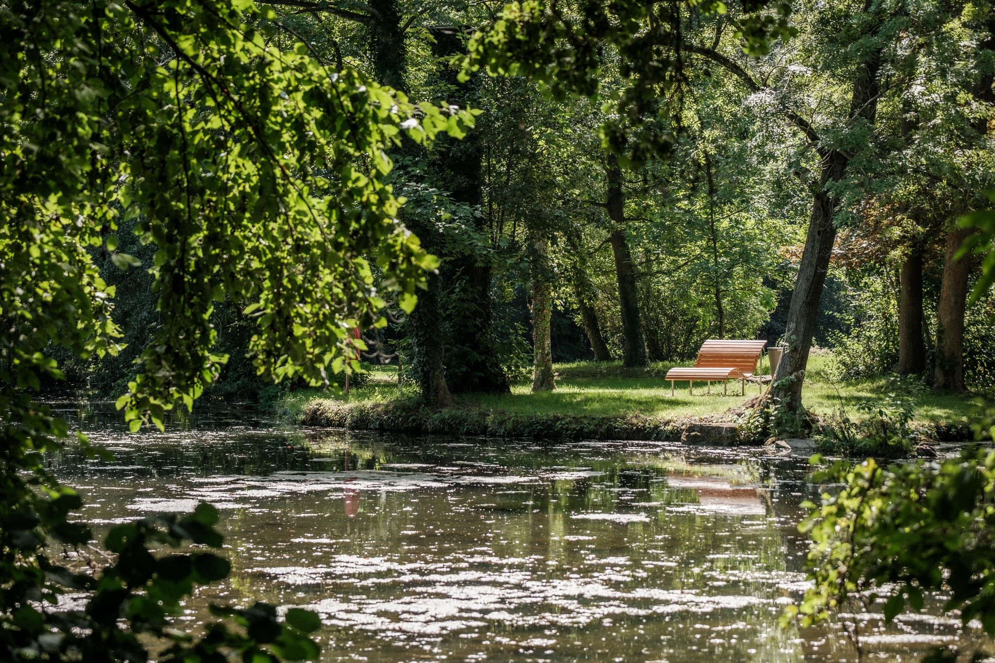
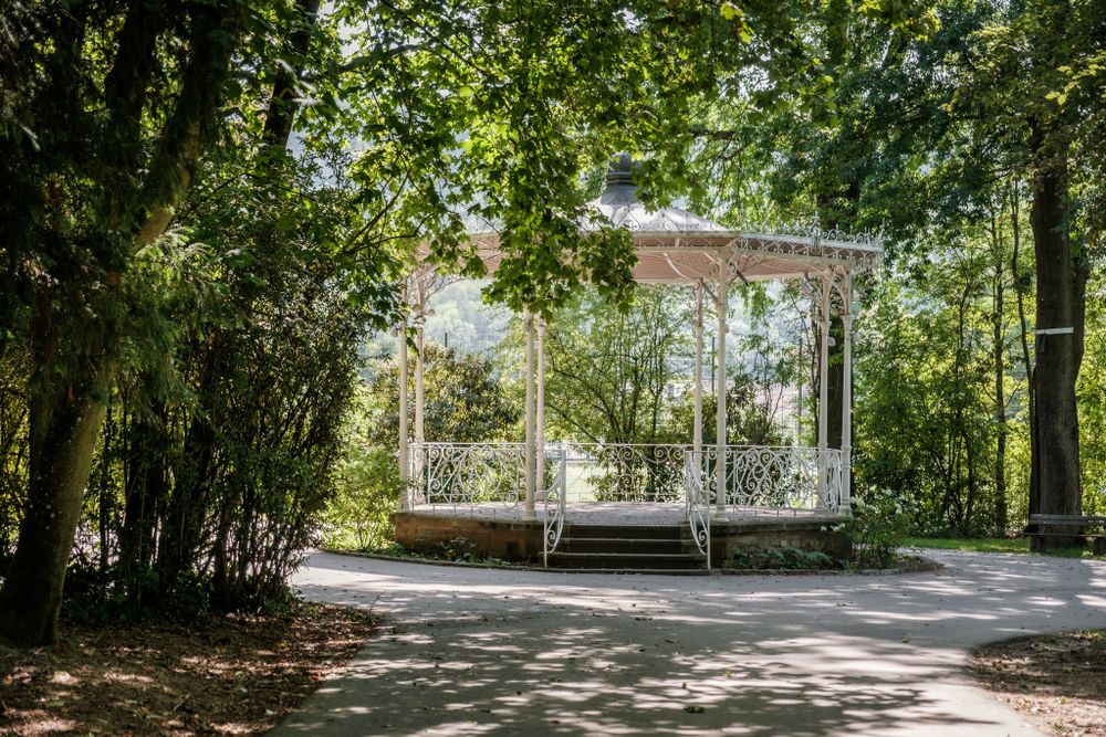
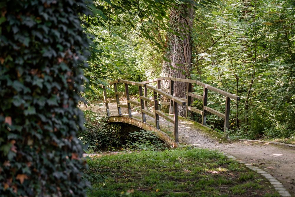
This varied and quite challenging hike offers several opportunities to enjoy the magnificent natural landscape.
Through the castle park, start the ascent along the Syr, past a waterfall into the Manternacher Fiels nature reserve. You pass the ruins of an old wooden mill. Over the Meschelslay and some stairs up, you reach a wonderful viewpoint. Follow the path downhill through the Schlaufels forest area to the wild stream of the Schlammbach. Then you ascend again and return over the height of the Widderberg back to Mertert.
Signposting

Directions
Please follow the blue lozenge on a white background, the path is marked in both directions.
Journey
Public transport:
Parking:
Nearest bus stop: Mertert, Parc
By train: Mertert, Gare
Parking:
Parking Rue du Parc


 This website uses technology and content from the Outdooractive Platform.