©ORT Sud
Minett Germany France
Guttland Germany France

Auto-Pédestre hiking route Leudelange - Gare

Hunting Season 2026/27 — Check for hunts

Autumn is here, and that means hunting season has begun! From mid-October to January/February, hunters are active across the country. Stay safe by checking hunt dates in your area on our Map. 

Click on Map in the Header > Services > More > Hunting.

Starting point

Parking Gare Leudelange, 166, rue de la Gare L-3355 Leudelange

Destination

Parking Gare Leudelange, 166, rue de la Gare L-3355 Leudelange

Distance
7,82 km
Duration
2:00 h
Difficulty
medium
  • Condition
Highest point
366 Hm
Lowest point
285 Hm
Aggregated Ascent
91 Hm
Aggregated Descent
91 Hm
Circular routes Visit Luxembourg

Description

Kids & Family

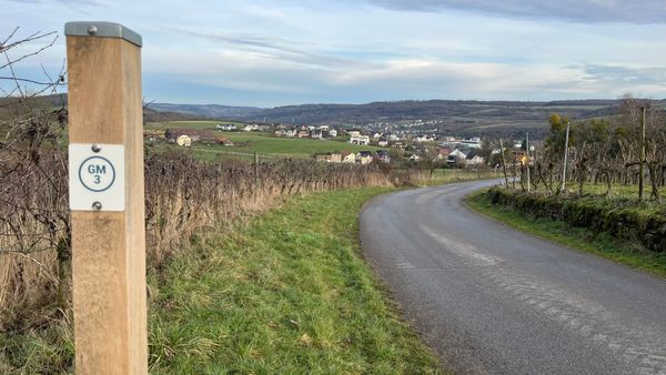
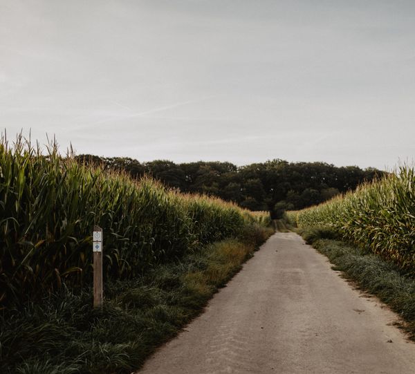
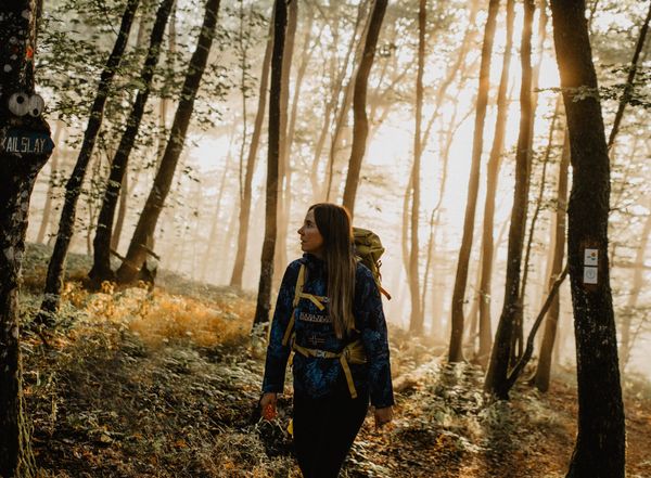
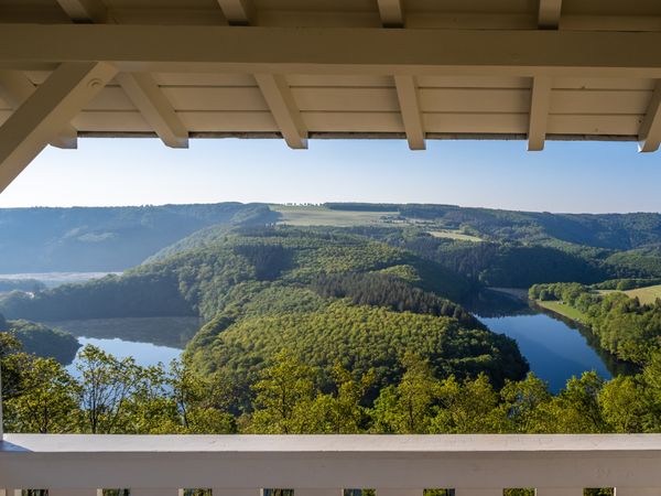
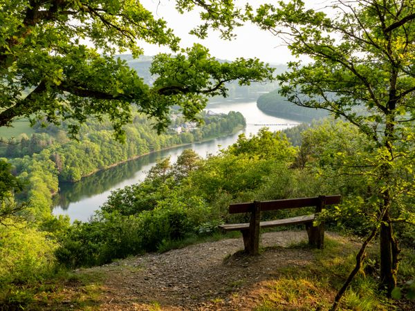
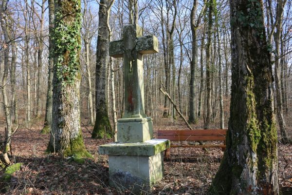
The Auto-Pédestre Leudelange-Gare impresses with lots of forest and open land, as well as predominantly well-walkable paths.

It starts at Leudelange-Gare station and is therefore very well accessible by public transport. In both directions, you walk straight towards the forest, via a narrow winding path you reach Leudelange. Through fields and forest paths, you come across the picturesque village of Roedgen, from here it goes back through the forest to your starting point.

Suggestions nearby

Auto-Pédestre hiking route Leudelange - Gare

  • ©Camping Kockelscheuer
    Camping Kockelscheuer
    Pets allowedRental accommodationWifiRestaurant

Similar hiking tours

©Visit Luxembourg
Circular routes
Local hiking trail GM3 - Groësteen
Distance: 8,37 km
Duration: 2:30 h
Difficulty: medium
Find out more
©Visit Éislek
Circular routes
Auto-Pédestre route Lieler
Distance: 7,85 km
Duration: 2:15 h
Difficulty: medium
Find out more
©Dan Castiglia, Visit Éislek
Circular routes
Auto-Pédestre route Colmar-Berg
Distance: 7,24 km
Duration: 2:00 h
Difficulty: medium
Find out more
©Visit Éislek, Visit Éislek
Éislek Pied
Éislek Path Diekirch
Distance: 14,51 km
Duration: 4:15 h
Difficulty: medium
Find out more
©Visit Luxembourg
Circular routes
Auto-Pédestre Hiking Trail Dahl
Distance: 9,05 km
Duration: 2:45 h
Difficulty: medium
Find out more
©Lynn Schüssler, Visit Luxembourg
Éislek Pied
Éislek Pad Heinerscheid
Distance: 15,84 km
Duration: 4:50 h
Difficulty: medium
Find out more
©Visit Éislek
Circular routes
Auto-Pédestre Baschleiden route
Distance: 8,55 km
Duration: 2:40 h
Difficulty: medium
Find out more
©Runtschelt, Visit Éislek
Circular routes
Auto-Pédestre Hiking Trail Kaundorf
Distance: 8,51 km
Duration: 2:25 h
Difficulty: medium
Find out more
©Visit Luxembourg
Circular routes
Local hiking trail MN1 - Päschtkräiz/Méchelsbësch
Distance: 10,71 km
Duration: 2:45 h
Difficulty: medium
Find out more
outdooractive This website uses technology and content from the Outdooractive Platform.