©Visit Éislek, Visit Luxembourg
Éislek Germany France

Arnica Nature Trail

Starting point

33, Wilwerdangerstrooss Weiswampach

Destination

33, Wilwerdangerstrooss Weiswampach

Distance
7,51 km
Duration
2:00 h
Difficulty
medium
  • Condition
Highest point
522 Hm
Lowest point
468 Hm
Aggregated Ascent
90 Hm
Aggregated Descent
64 Hm
Thematic paths Visit Éislek

Description

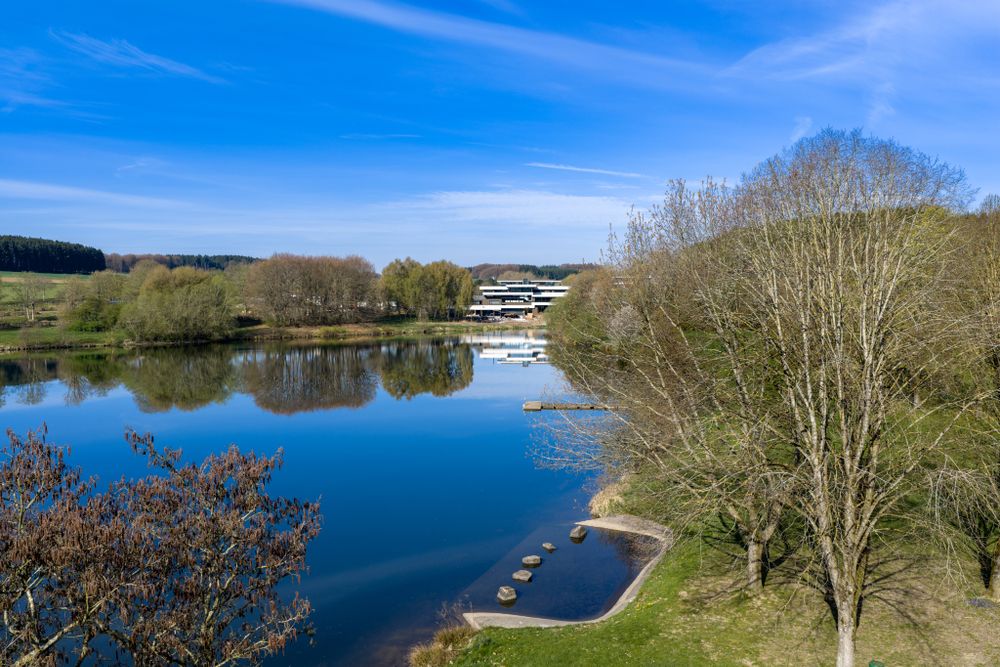
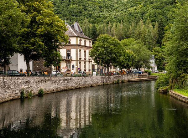
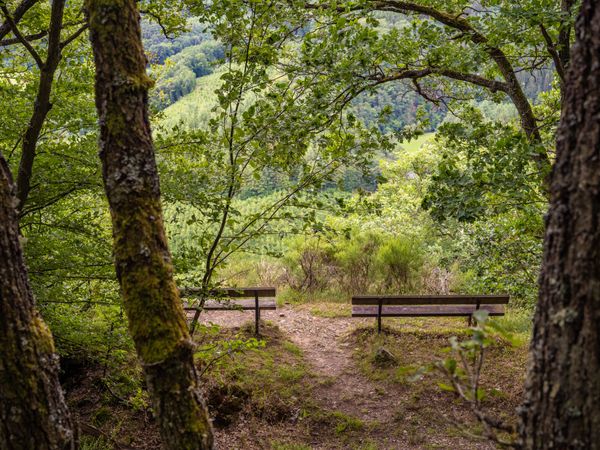
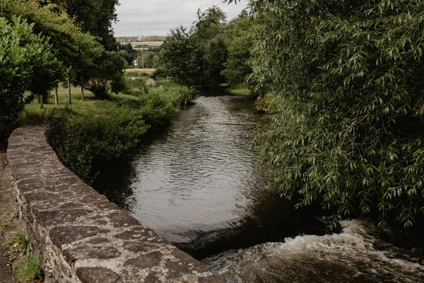
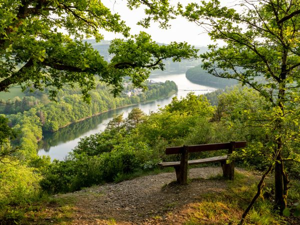
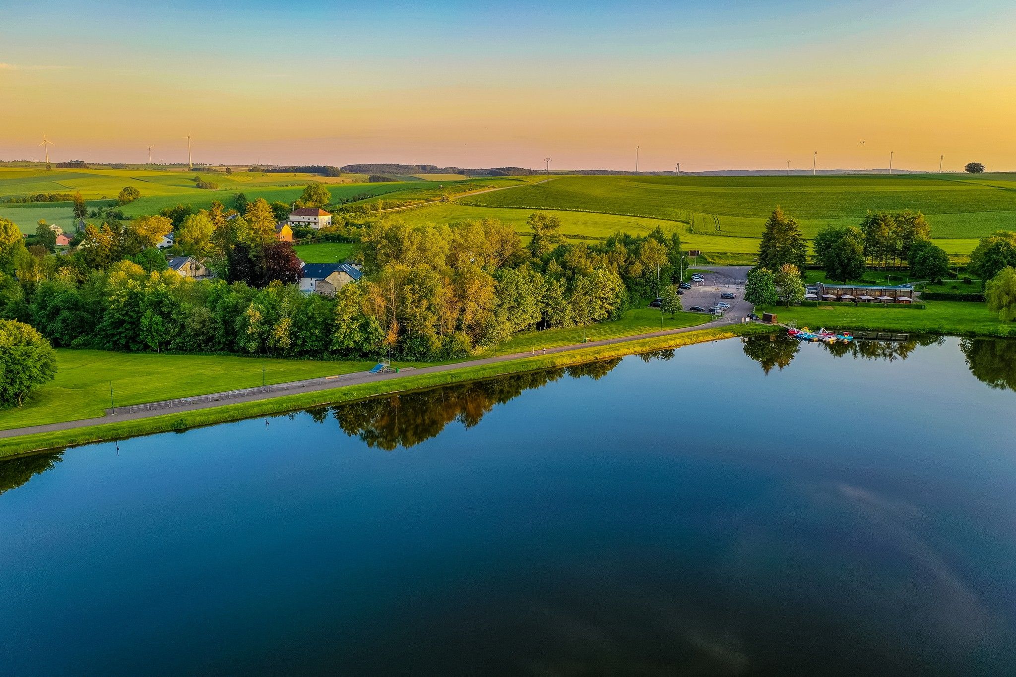
Damp meadows, long grasses and boggy soils: nature takes centre stage on this trail. The arnica circular trail starts right by the lake in Weiswampach and runs along the shore in places. Along the way, several benches encourage hikers to pause and enjoy the landscape.

With a little attention, many rare plants and animals can be discovered along the way. Particularly striking is the bright yellow arnica, a protected medicinal plant known to many from ointments for bruises and muscle complaints. Its flowers appear between June and September. The plant prefers to grow in meagre, sunny locations such as can typically be found here.

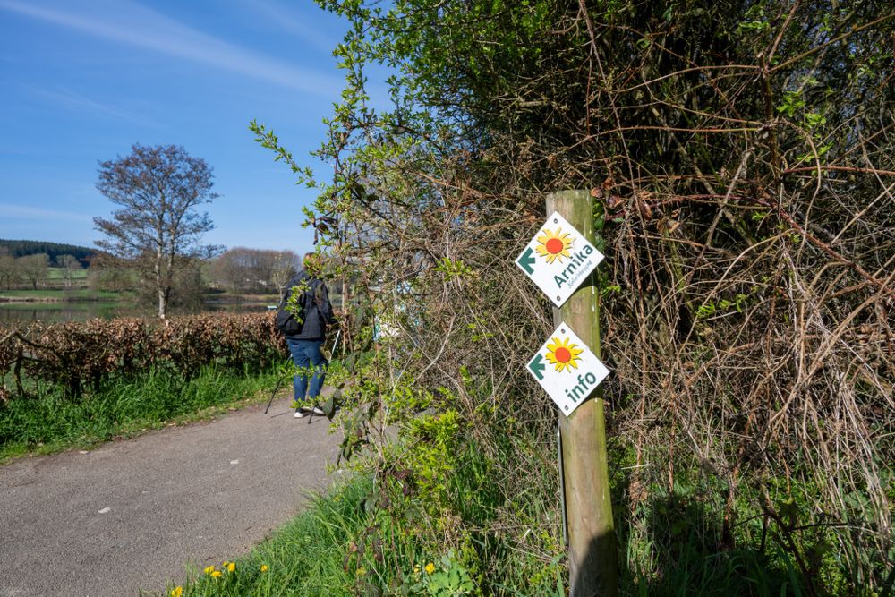
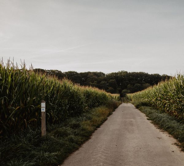
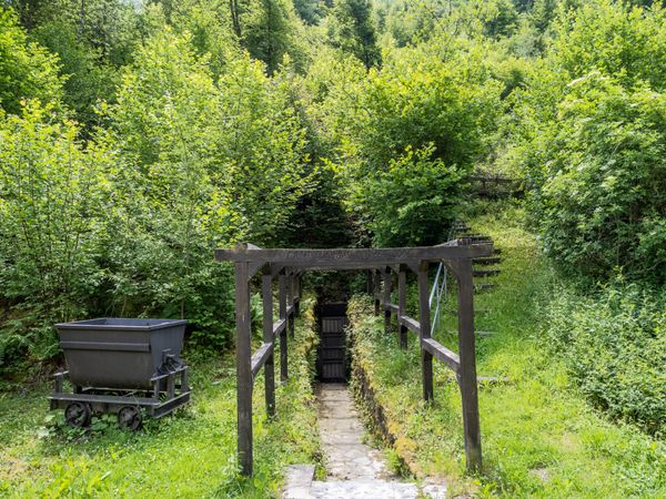
The path is marked with a yellow arnica flower on a white background. Information boards provide additional insights, e.g. into the birdlife around the lake or the history of a former World War II shelter.

A quiet, natural trail that raises awareness and brings nature conservation to life.

Suggestions nearby

Arnica Nature Trail

  • ©Hotel Anatura
    SENSA - Restaurants & Lounge Bar
    Restaurant and lounge bar in a 4-star superior hotel in northern Luxembourg with panoramic views.
    Find out more

Similar hiking tours

©Visit Luxembourg
Cultural walk Wasserbillig
Distance: 10,87 km
Duration: 3:08 h
Difficulty: medium
Find out more
©Pancake! Photography, Visit Luxembourg
Circular routes
Local hiking trail Lintgen - LI1
Distance: 8,05 km
Duration: 2:20 h
Difficulty: medium
Find out more
©Pancake! Photographie, Visit Luxembourg
Thematic paths
Geo-Pad Haupeschbach an Halerbach
Distance: 4,94 km
Duration: 2:00 h
Difficulty: medium
Find out more
©Visit Luxembourg
Circular routes
Local hiking trail - C6
Distance: 5,88 km
Duration: 1:40 h
Difficulty: medium
Find out more
©CFL, Visit Luxembourg
Distance trails
32 CFL hiking routes from station to station: Bascharage-Sanem - Dippach-Reckange
Distance: 10,14 km
Duration: 2:40 h
Difficulty: medium
Find out more

No image available
Circular routes
Auto-Pédestre trail Bonnevoie
Distance: 7,87 km
Duration: 2:30 h
Difficulty: medium
Find out more
©Visit Luxembourg
Circular routes
Auto-Pédestre hiking trail Mertert
Distance: 10,69 km
Duration: 3:00 h
Difficulty: medium
Find out more
©Carlo Rinnen, Visit Luxembourg
Viticultural trail
Distance: 3,22 km
Duration: 1:00 h
Difficulty: medium
Find out more
©Visit Luxembourg
Circular routes
Local hiking trail - L4
Distance: 11,10 km
Duration: 3:13 h
Difficulty: medium
Find out more
outdooractive This website uses technology and content from the Outdooractive Platform.