Description
Hike through the Minett region, from train station to train station between Dudelange - Burange and Rumelange
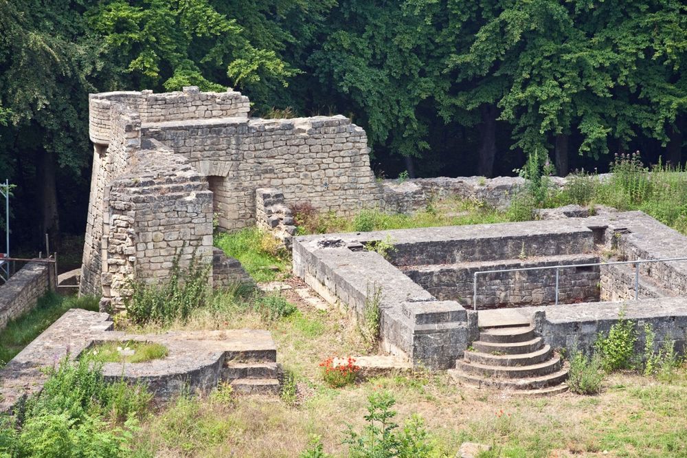
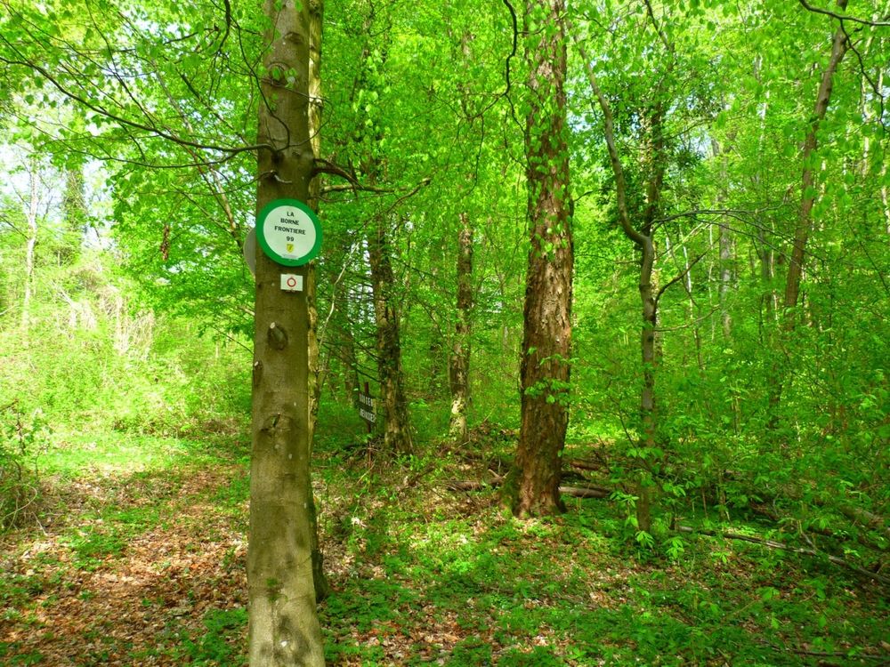
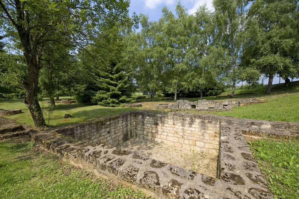
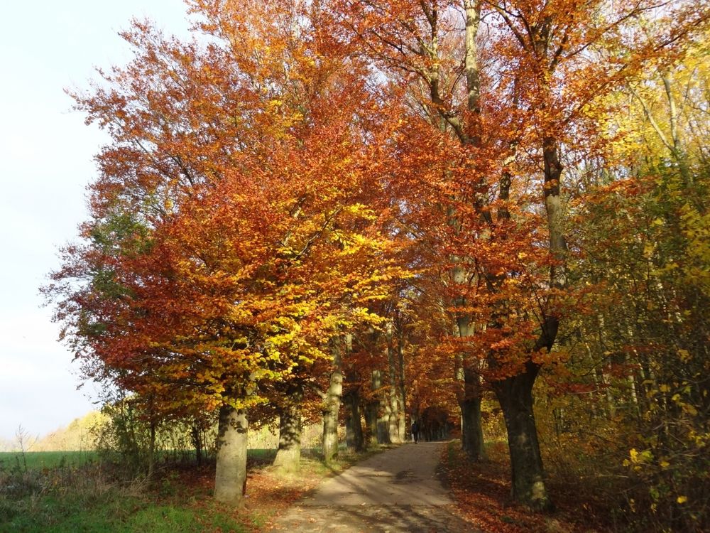
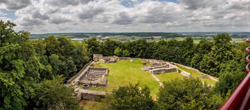
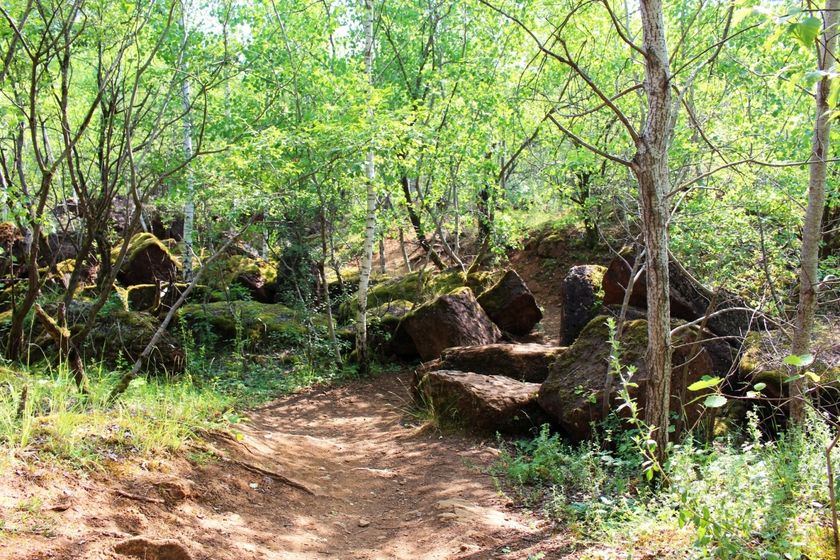
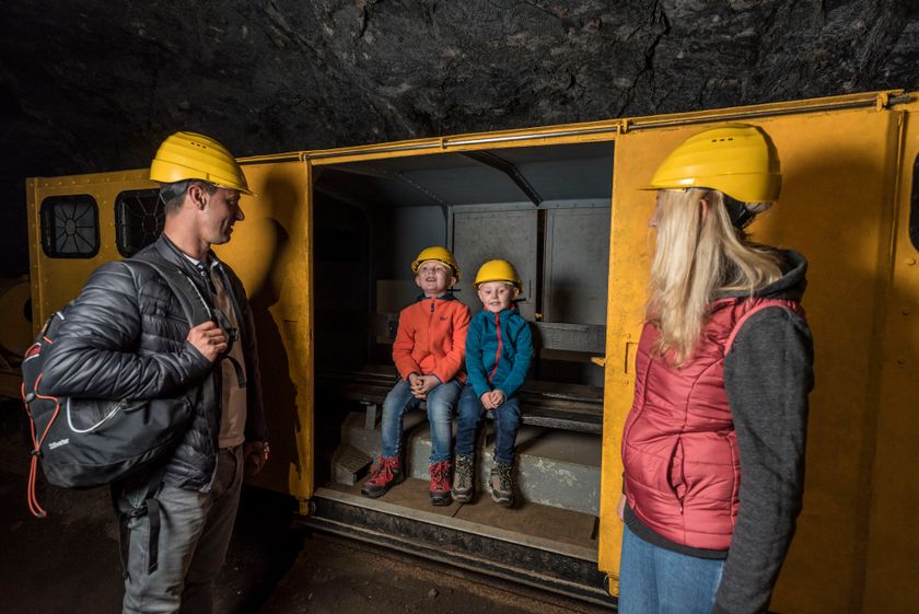
Inviting hike, including former iron ore open-pit mining areas, past the southernmost point of the country at the French border. The route includes four climbs and offers beautiful panoramic views, e.g., near the Haard nature reserve.
Shortcut options: marked path CFL 22a downhill from Gaalgebierg to Dudelange-Centre train station (6.2 km total) or, near the end of this path, a junction marked with CFL 22b to Dudelange-Usines train station (5.8 km total). Marked path CFL 22c through Tétange to the train station of the same name (7.9 km total).
Note: Only a few trains run to and from the Rumelange and Tétange stations.
Alternative: Bus. Please consider the timetables when planning your route.
Signposting
Directions
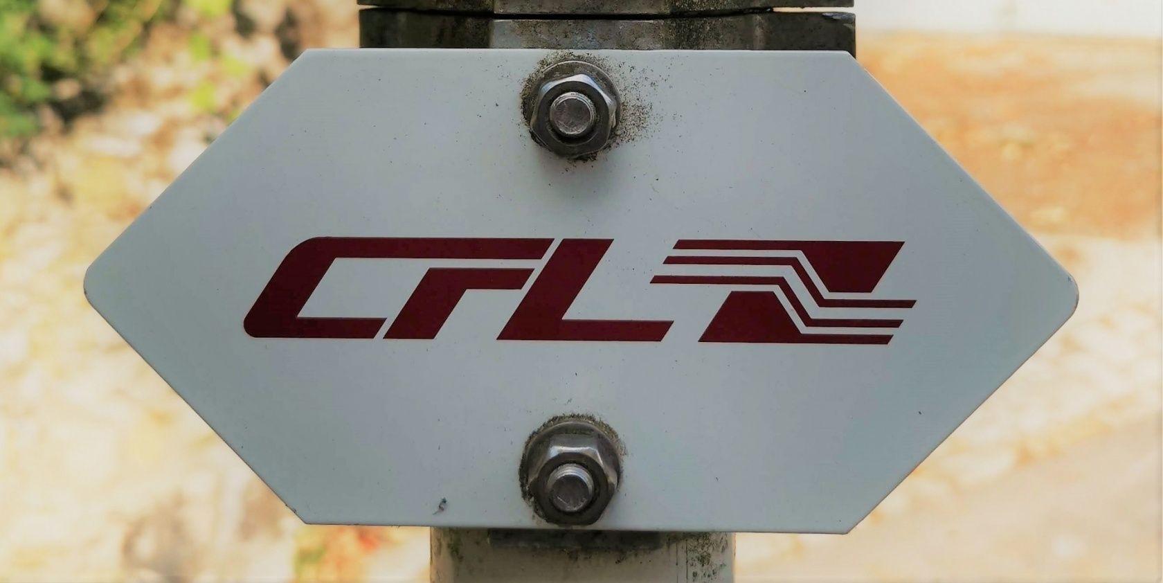
Please follow the "CFL" signage
The path is marked in both directions
For your safety
Please remember sturdy footwear and appropriate clothing in case of bad weather.
Equipment
Please remember to pack enough provisions for the circular hiking route.
Journey
Start and end points are located at a train station and are therefore easily accessible.
Parking:
Public parking spaces directly on site


 This website uses technology and content from the Outdooractive Platform.