Description
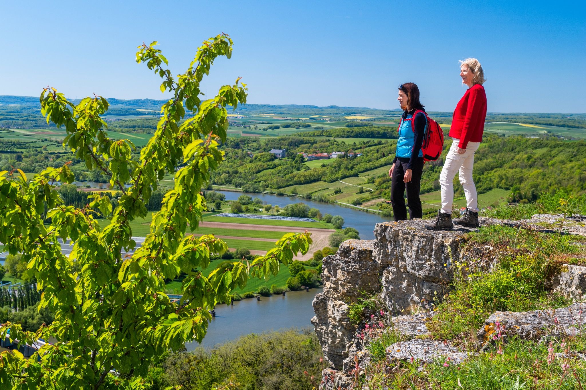
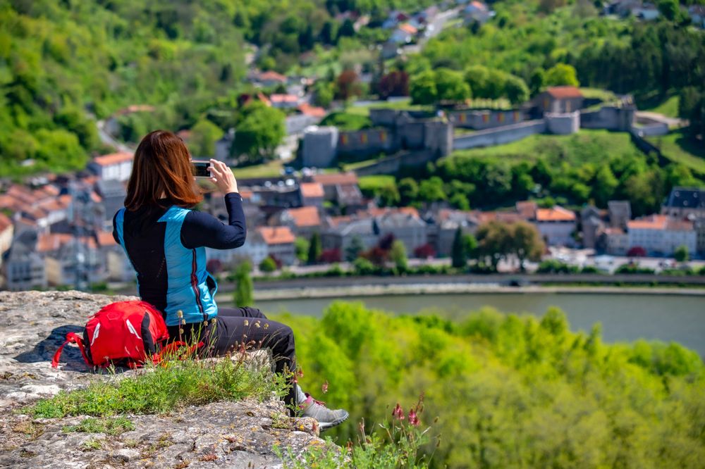
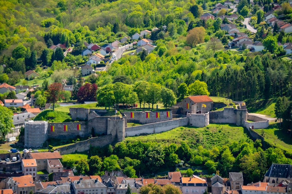
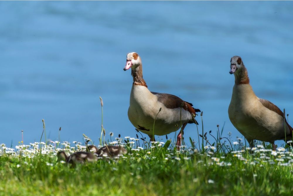
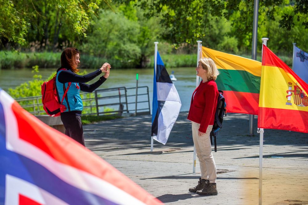
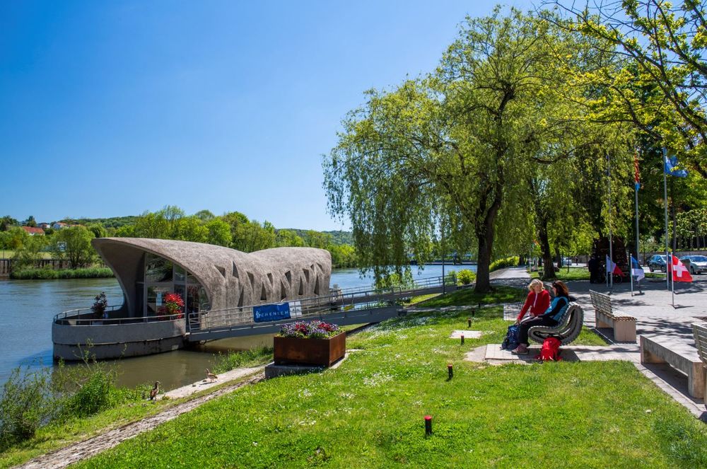
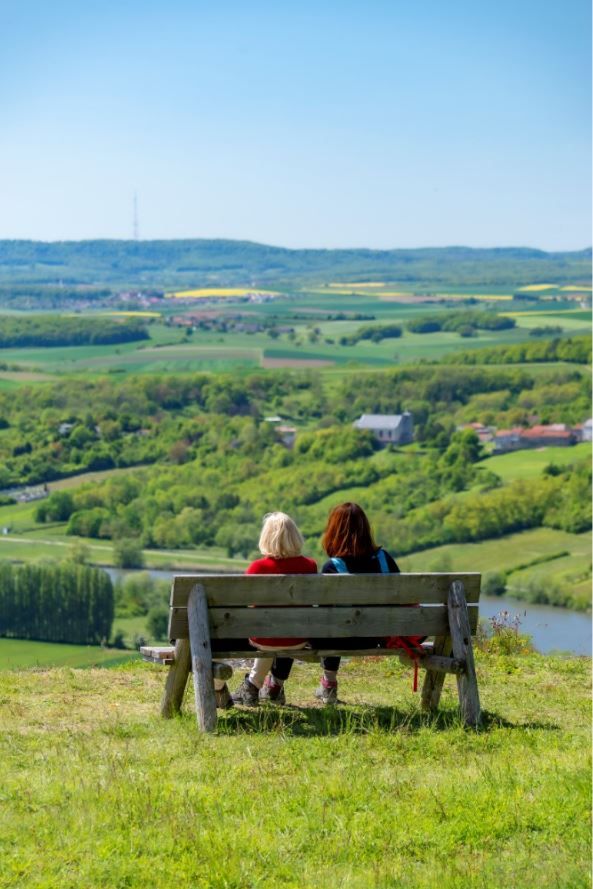
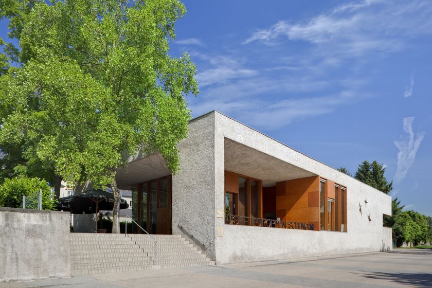
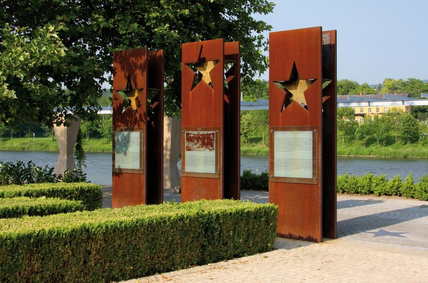
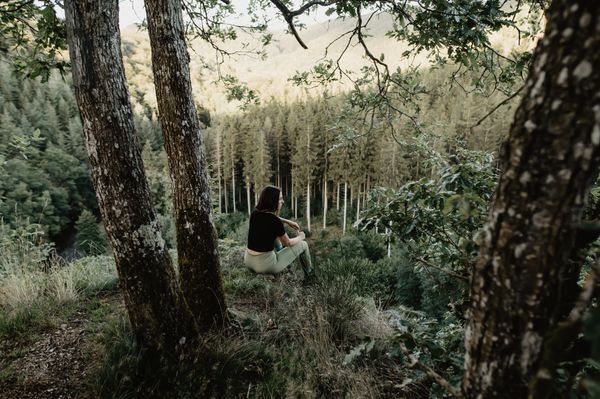
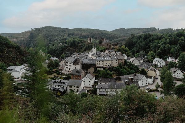
Just a few steps from the European Information Center “Centre Européen,” three steel steles each with a golden star commemorate the signing of the Schengen Agreement over 30 years ago. Representatives from Luxembourg, Belgium, the Netherlands, France, and Germany signed the agreement on the passenger ship “Princesse Marie-Astrid” on June 14, 1985. This was one of the most important steps towards European unification: the abolition of internal European border controls for people and goods among the signatories. Today, the wine village of Schengen is synonymous with a borderless Europe. Above Schengen, the hiking trail runs through the Stromberg nature reserve. The leathery, shiny fronds of the hart's tongue fern are easy to spot. On the ascent to the high plateau, several forest windows open up, giving views over the Moselle Valley. From Stromberg, there is a breathtaking view of the Moselle Valley with the wine village Contz-les-Bains to the right. The thick walls of the former fortress of Sierck-les-Bains on the opposite bank tower above the Moselle village.
Experience points: 83

Directions
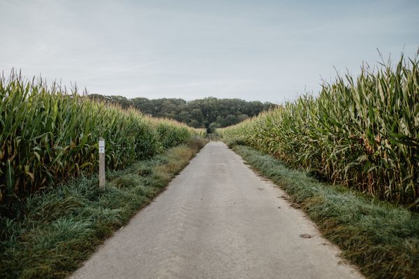
The dream loop “Schengen borderless – Schengen sans frontières” starts in the municipality of Schengen at the tri-border area. The town became well known through the signing of the “Schengen Agreement” in 1985. The hike leads from the European Museum into the Stromberg nature reserve. The trail continues into France around the wine village of Contz-les-Bains. Stunning views of the Moselle Valley, steep vineyards, wide vistas towards Luxembourg and Lorraine, as well as the wild nature of the Stromberg make this hike a unique experience.
Places to eat:
Restaurant L'Inconnu
3, Route du Vin
L-5445 Schengen
Tel.: +352 26660505
www.restaurantlinconnu.lu
Hotel Restaurant Alte Maimühle
at the start in Perl (at the train station)
Tel. +49 68 67113170
www.maimuehle.de
Equipment
The dream loops have partly steep, difficult, and slippery sections in rainy or winter weather. Therefore, hiking boots, surefootedness, and good fitness are absolute requirements to hike this premium circular trail.
Journey
By train to Perl, then on foot across the bridge to Schengen
Getting there:
A8 Saarbrücken – Luxembourg exit Schengen. Continue via the N10 to the European Information Center.
Parking:
Near Tourist Info at Rue Robert Goebbels L-5444 Schengen


 This website uses technology and content from the Outdooractive Platform.