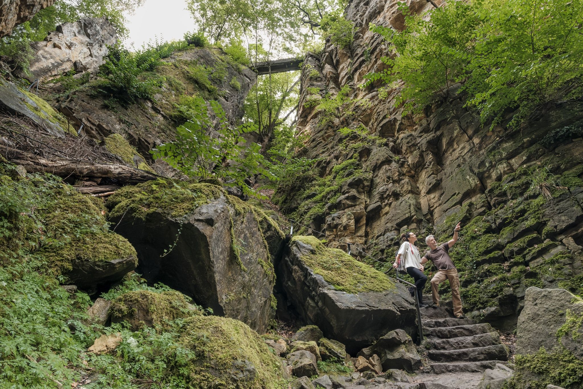
©Pancake! Photographie
Müllerthal Germany France

Mullerthal Trail – Section 5: Echternach–Berdorf

Hunting Season 2026/27 — Check for hunts

Autumn is here, and that means hunting season has begun! From mid-October to January/February, hunters are active across the country. Stay safe by checking hunt dates in your area on our Map. 

Click on Map in the Header > Services > More > Hunting.

Starting point

Echternach Basilika

Destination

Berdorf

Distance
6,80 km
Duration
2:15 h
Difficulty
medium
  • Condition
Highest point
376 Hm
Lowest point
161 Hm
Aggregated Ascent
272 Hm
Aggregated Descent
59 Hm
Visit Luxembourg

Description

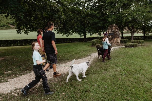
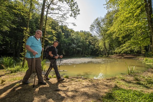
This section of the Mullerthal Trail leads from Echternach to Berdorf. It is one of 13 sections into which the entire Mullerthal Trail can be divided.

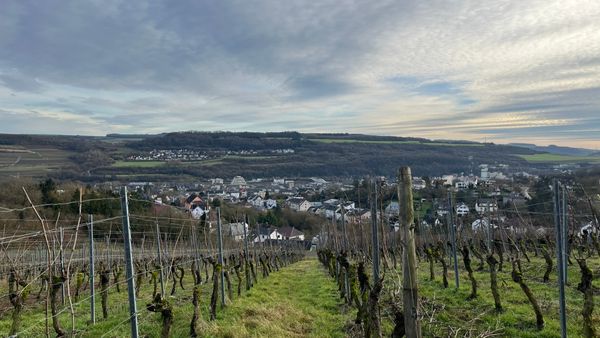
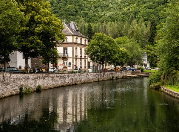
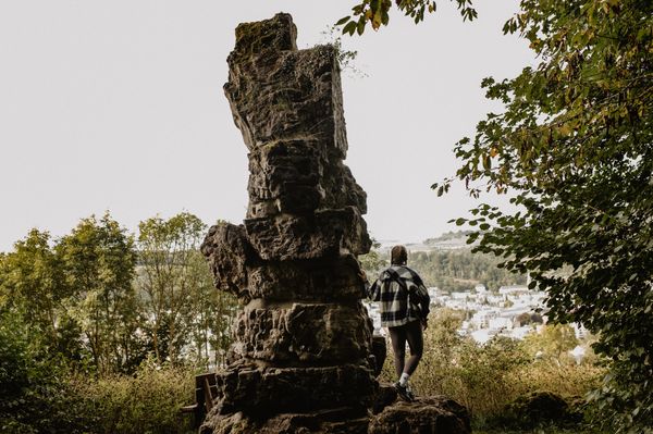
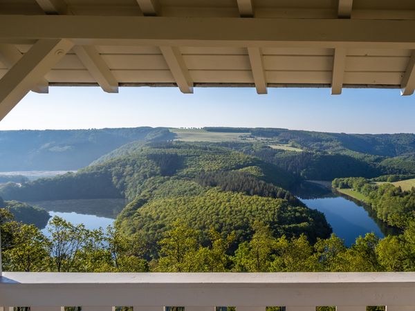
From the market place in Echternach, the Mullerthal Trail leads through the pedestrian zone and then up to the view point called Trooskneppchen. From there, you enjoy an impressive view on the city of Echternach.

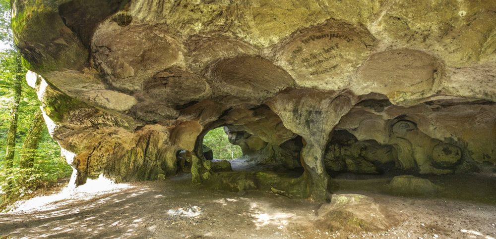
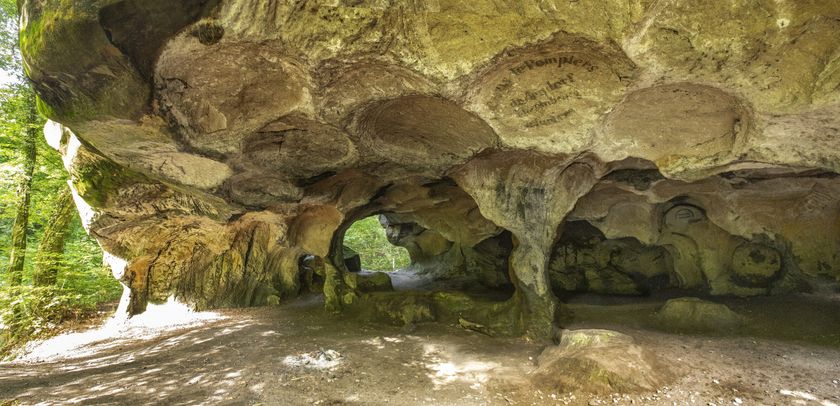
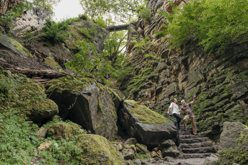
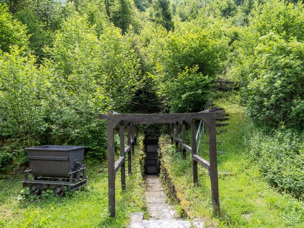
The trail passes subsequently through the woods until the geosite Wollefsschlucht - a steep crevice with rock faces up to 50 m high. The next highlight on this section is the Labyrinth - a maze of rockmasses. Along the Aesbach, the Mullerthal Trail passes along the big rocks of Perekop, which can be explored by climbing up ladders. You pass on a special bridge construction at Chipkapass. After this, geosite Huel Lee is not far away - a cave where the regional millstones were broken, which is still clearly recognizable by the circular bulges. Shortly afterwards, you reach the amphitheater, an open-airtheater, used for various events. After a few more meters, the village of Berdorf, known among others for its cheese, is visible.

Suggestions nearby

Mullerthal Trail – Section 5: Echternach–Berdorf

  • ©C. Bosseler
    Rock formation "Huel Lee/Hohllay"
    Fascinating cave created by the extraction of millstones.
    Find out more
  • ©Pancake! Photographie
    Rock formation "Wollefsschlucht"
    Imposing rock gorge with rock walls rising up to 50 m in height.
    Find out more

Similar hiking tours

©Visit Luxembourg
Circular routes
Local hiking trail GM2 - Gruussfooscht/Haard
Distance: 6,93 km
Duration: 2:00 h
Difficulty: medium
Find out more
©Visit Éislek
Circular routes
Auto-Pédestre route Lieler
Distance: 7,85 km
Duration: 2:15 h
Difficulty: medium
Find out more
©Visit Éislek
Circular routes
Auto-Pédestre hiking route Esch-Sur-Sûre
Distance: 9,72 km
Duration: 3:10 h
Difficulty: medium
Find out more
©Pulsa Pictures, ORT SUD
Thematic paths
Nature walk "Natura 2000" - Ellergronn
Distance: 11,89 km
Duration: 3:10 h
Difficulty: medium
Find out more
©Visit Luxembourg
Circular routes
Auto-Pédestre Stolzembourg hiking trail
Distance: 7,59 km
Duration: 2:15 h
Difficulty: medium
Find out more
©Visit Éislek, Visit Éislek
Éislek Pied
Éislek Path Diekirch
Distance: 14,51 km
Duration: 4:15 h
Difficulty: medium
Find out more
©Visit Luxembourg
Circular routes
Auto-Pédestre Hiking Trail Dahl
Distance: 9,05 km
Duration: 2:45 h
Difficulty: medium
Find out more
©Lynn Schüssler, Visit Luxembourg
Éislek Pied
Éislek Pad Heinerscheid
Distance: 15,84 km
Duration: 4:50 h
Difficulty: medium
Find out more
©Visit Éislek
Circular routes
Auto-Pédestre Baschleiden route
Distance: 8,55 km
Duration: 2:40 h
Difficulty: medium
Find out more
outdooractive This website uses technology and content from the Outdooractive Platform.