Description
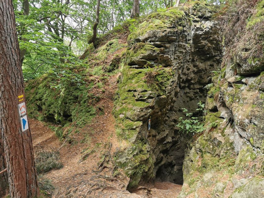
Exciting hiking route through the rocks of the Noumerleeën.
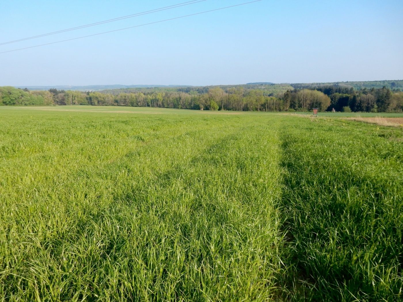
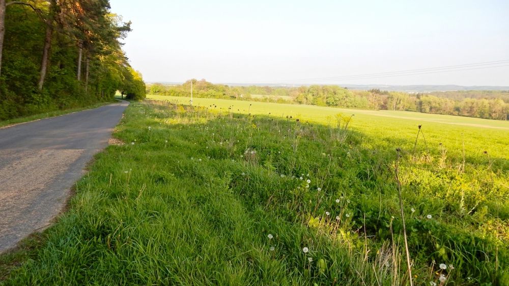
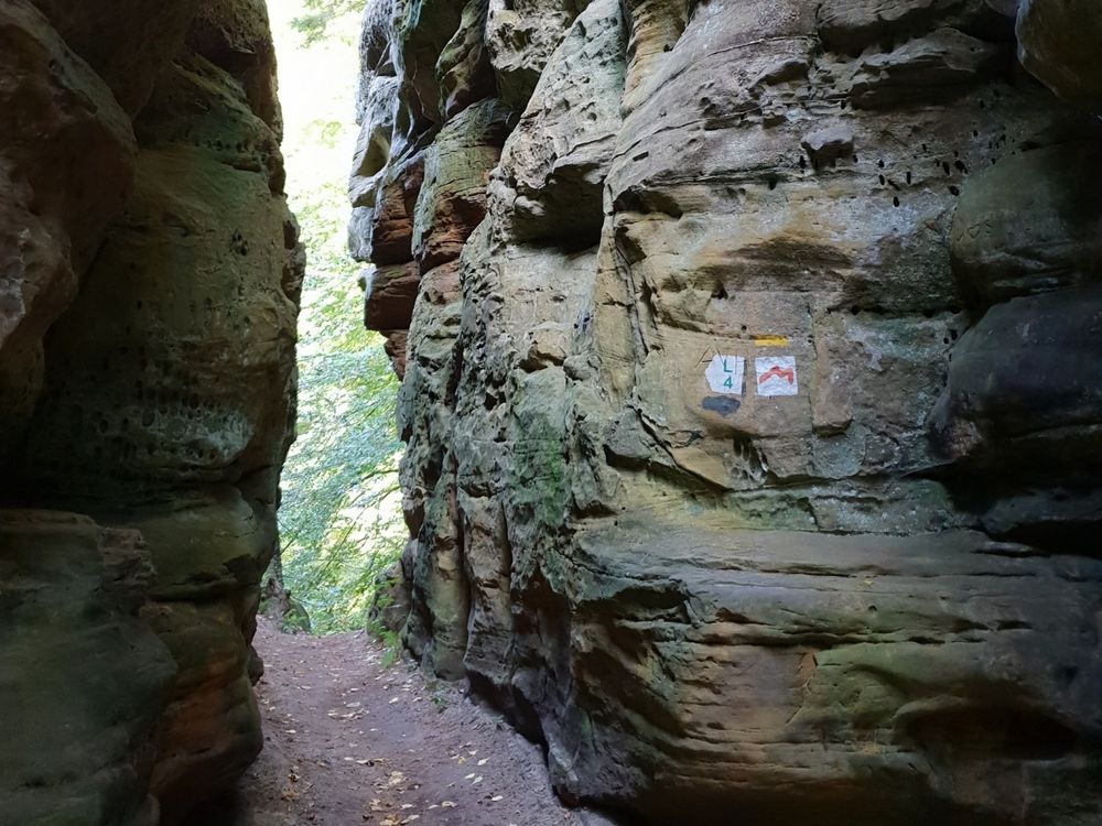
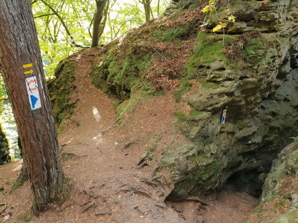
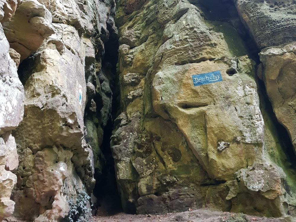
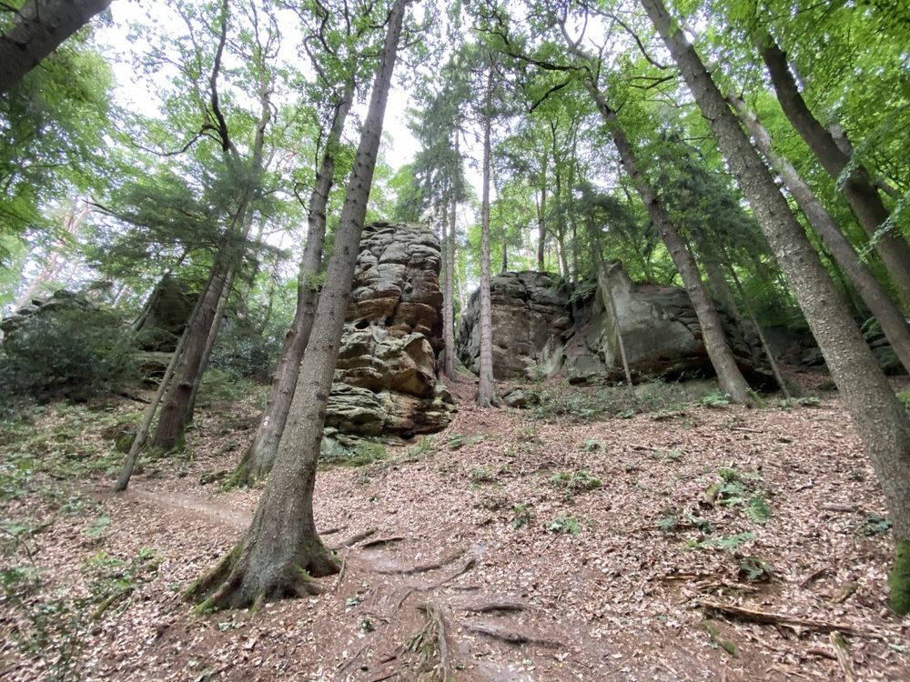
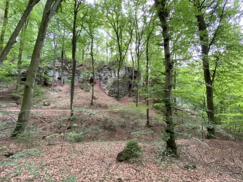
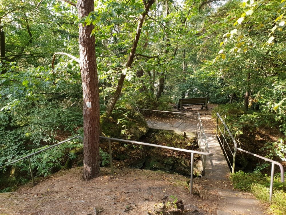
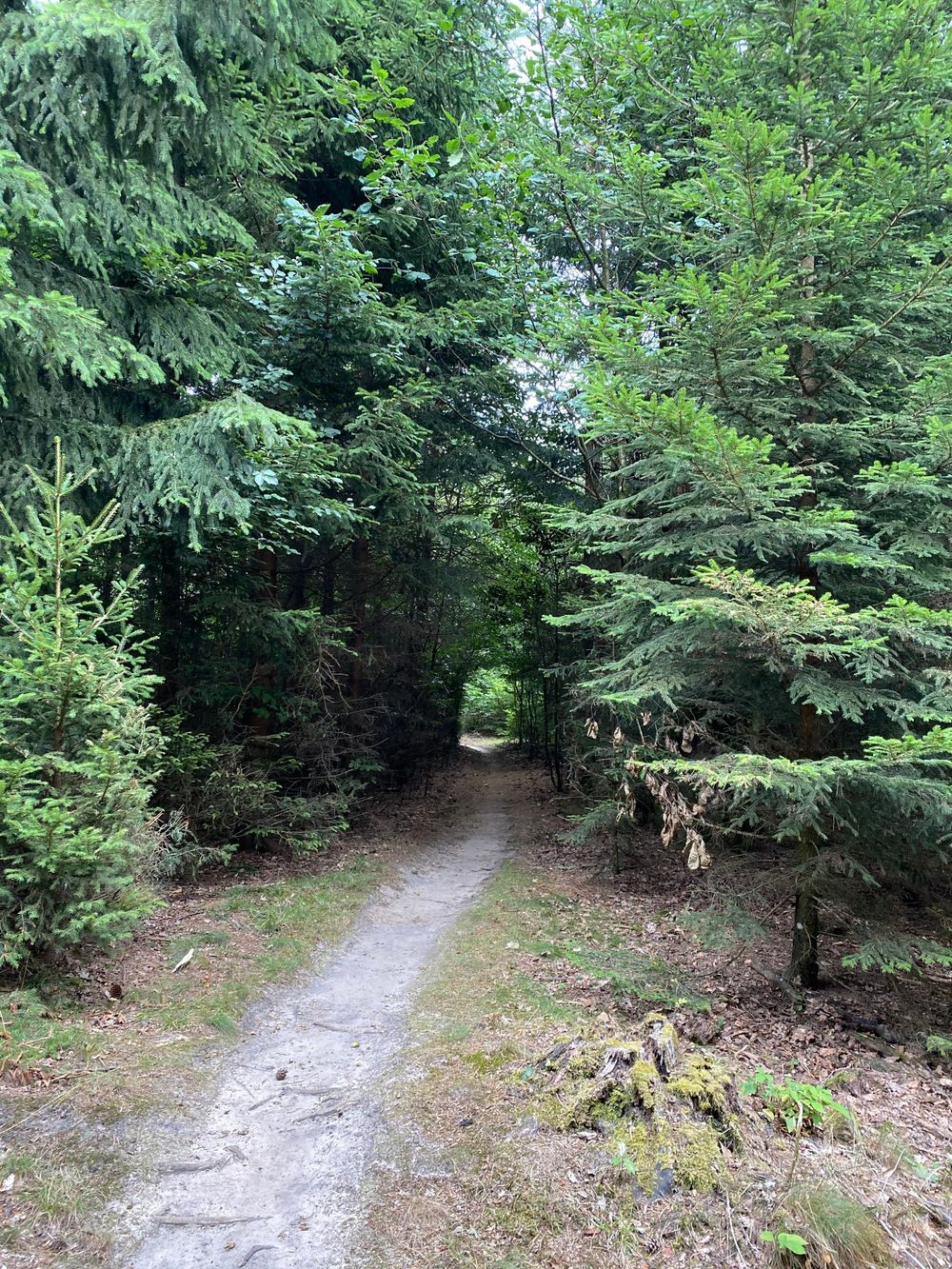
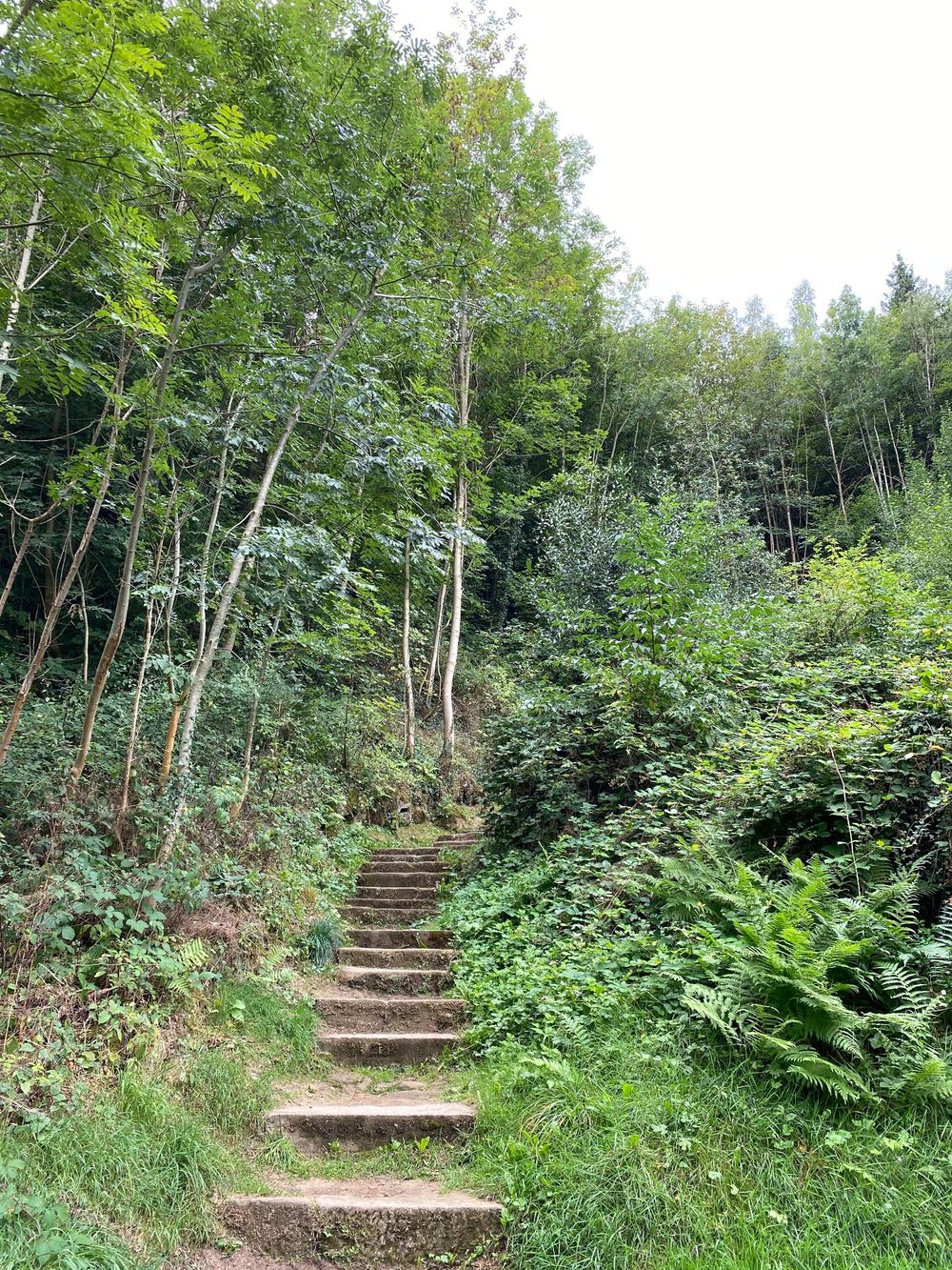
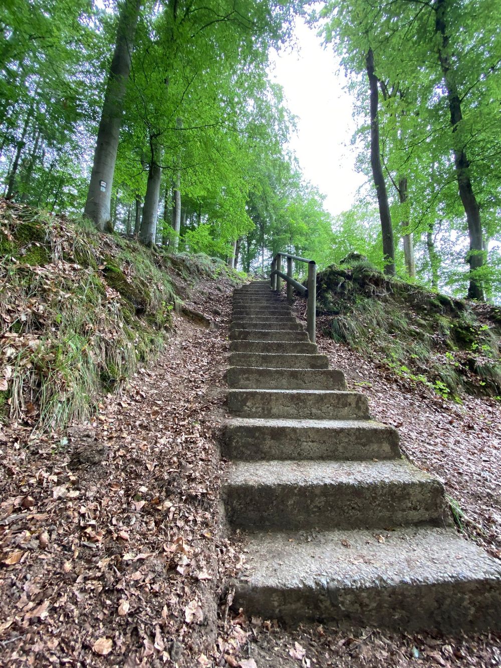
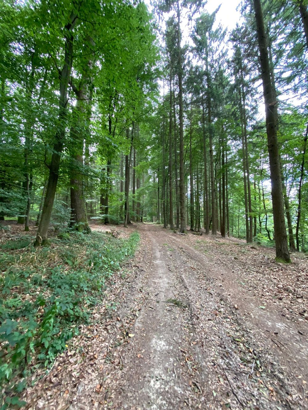
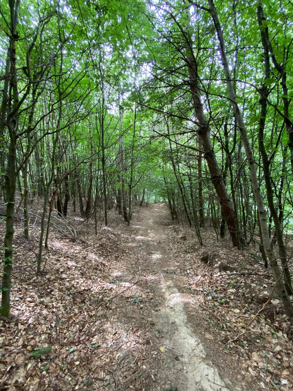
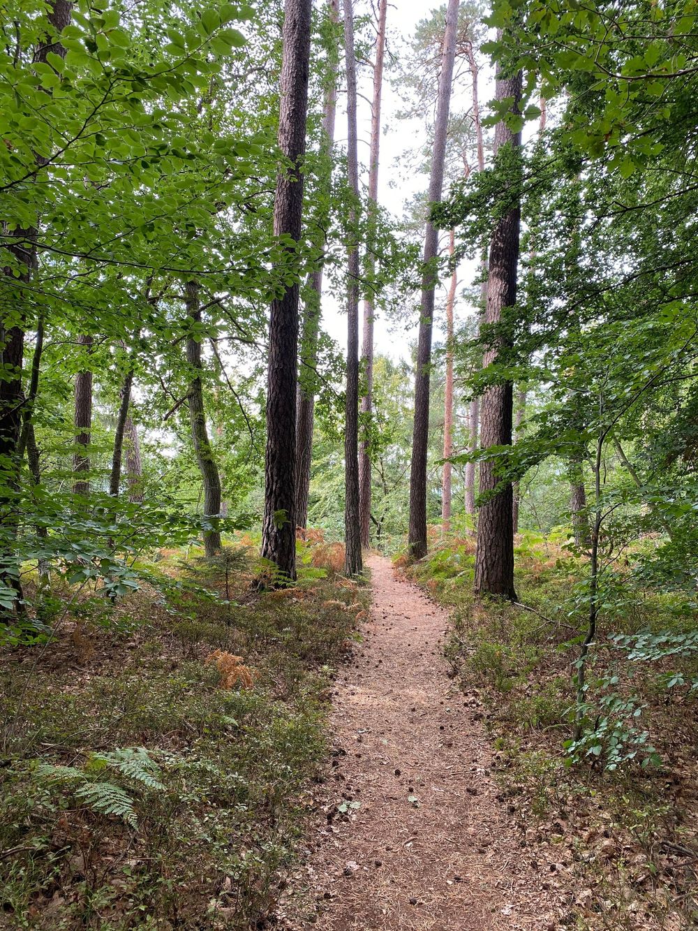
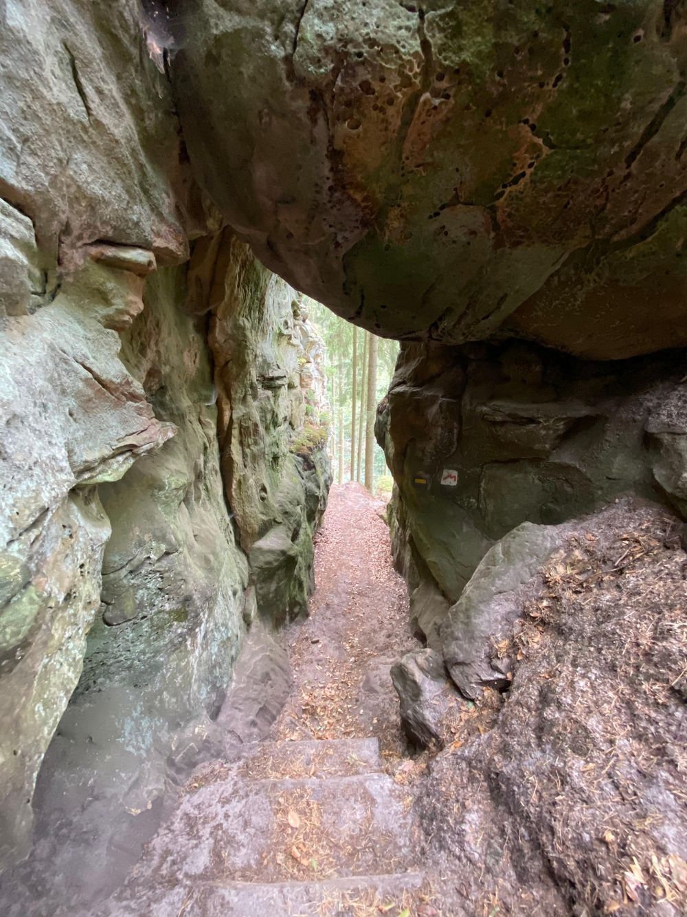
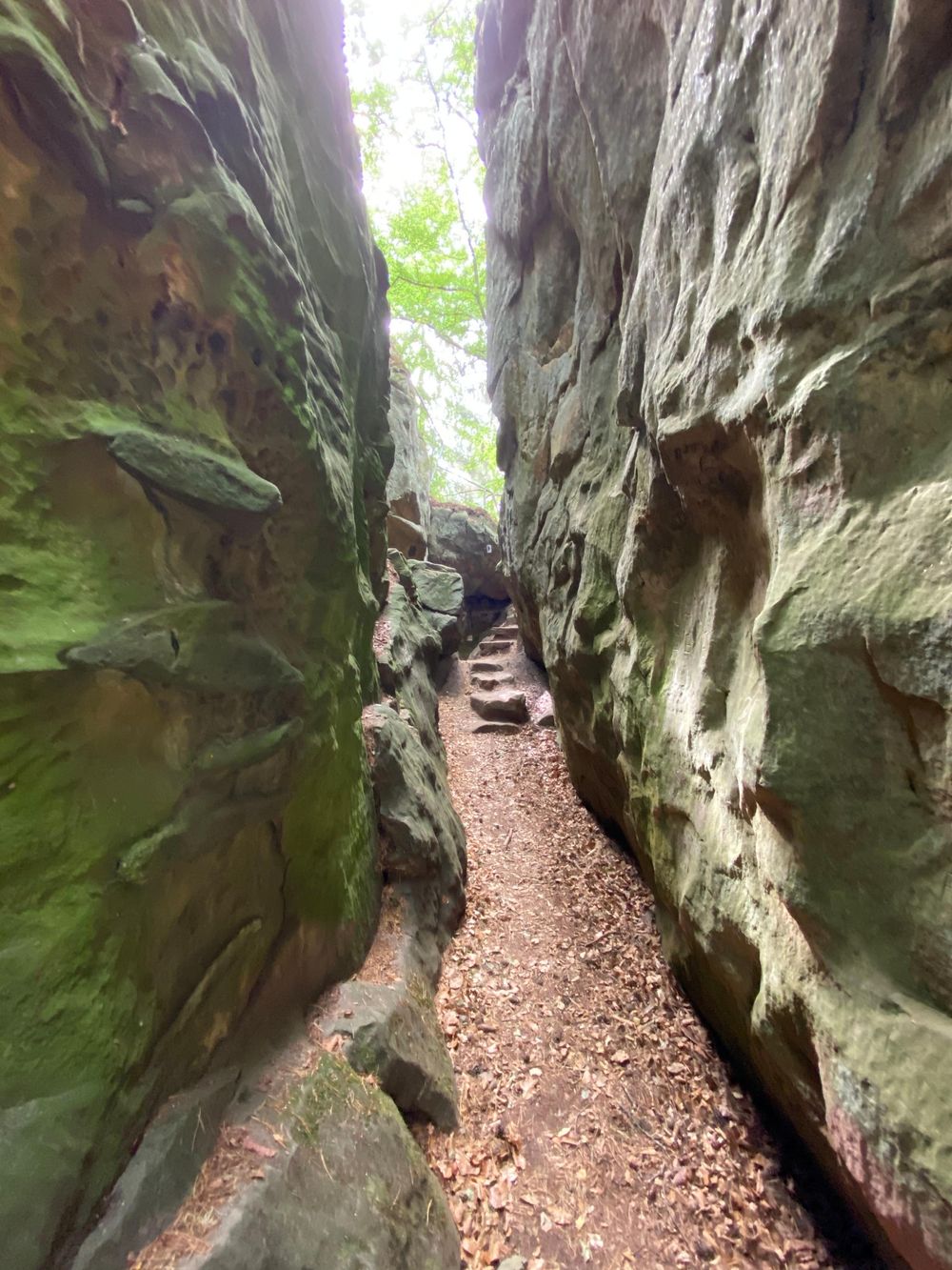
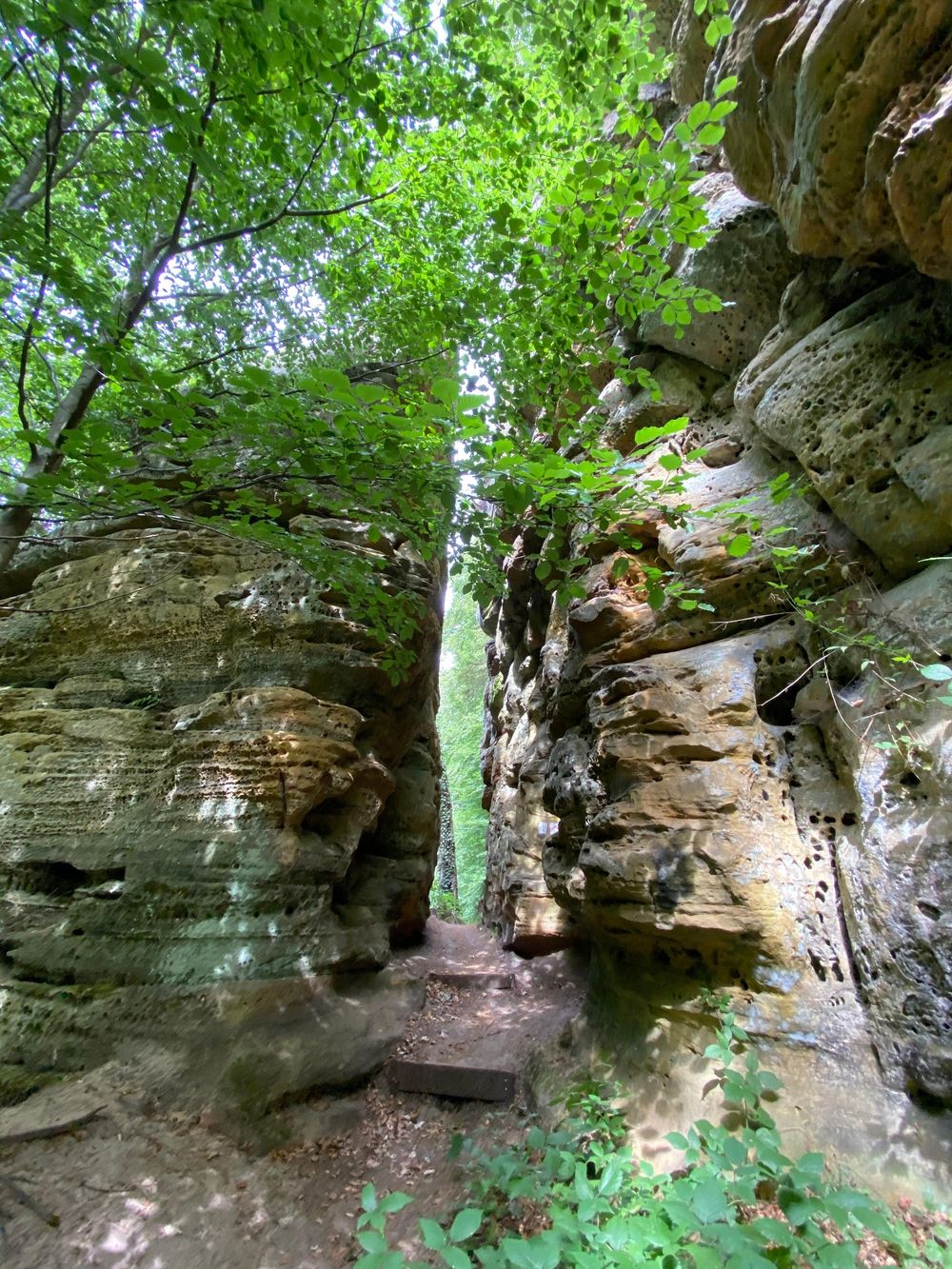
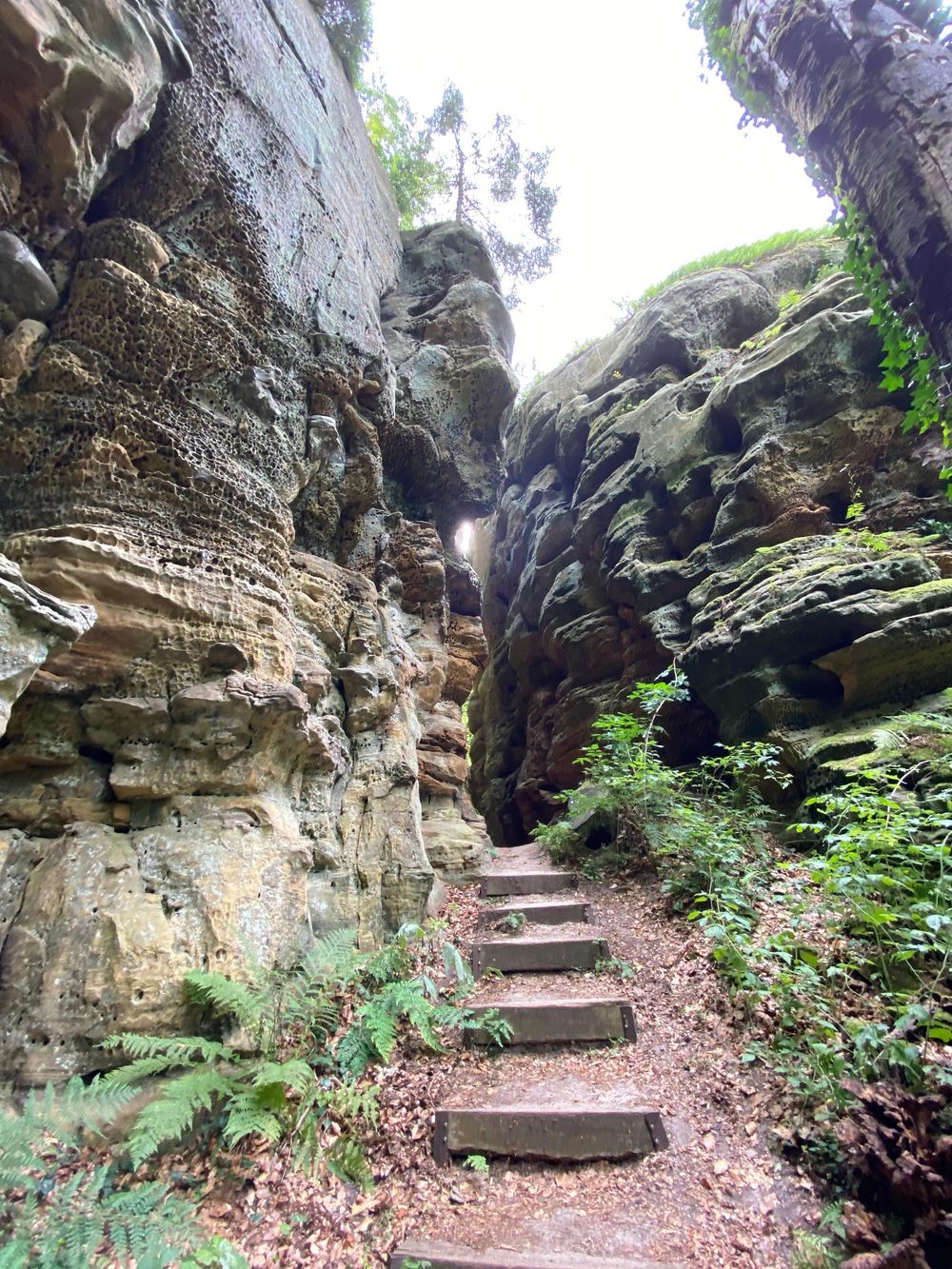
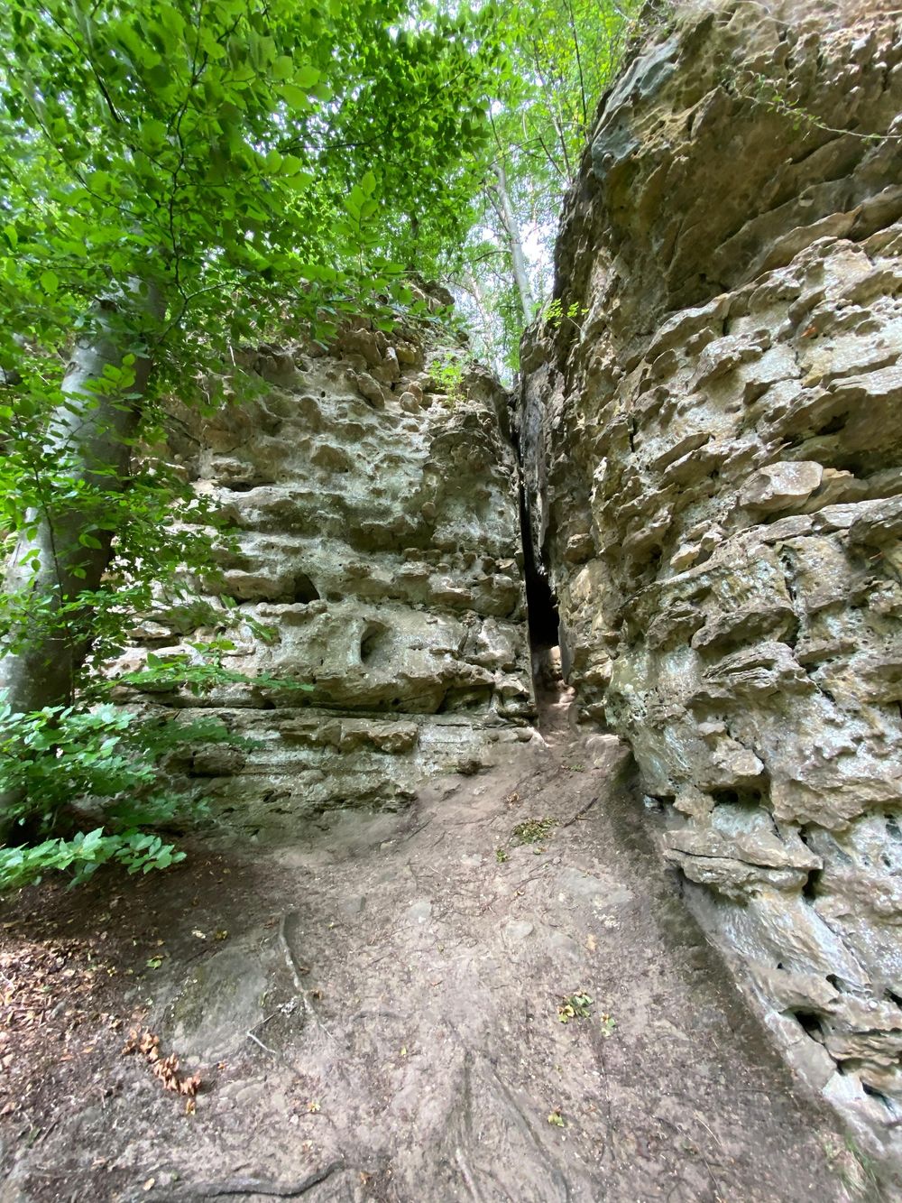
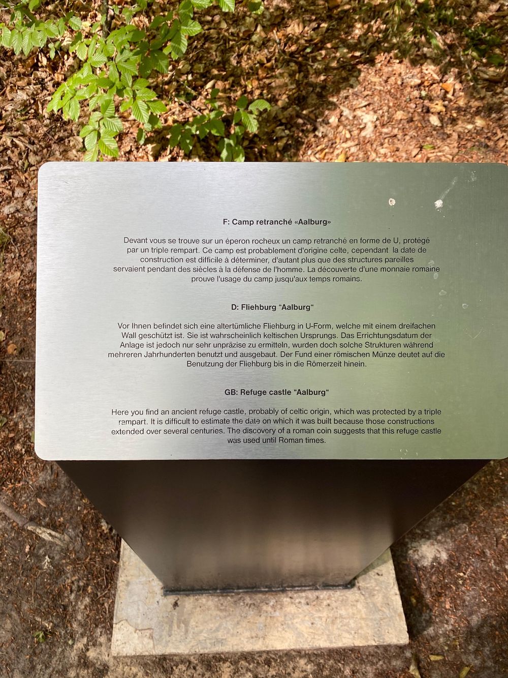
From the start at the Tourist Info, the path leads up to Gudelterhaff and further to the Noumerleeën. These impressive rock formations are typical for the Luxembourg sandstone region and show many different geological structures. The remains of a refuge castle, the Alebuerg, can be found here, as well as traces of charcoal kilns. After that, the path leads through the forest, the Knappbësch, not far from a chapel until the Heisgeskräiz, probably the oldest wayside cross in Luxembourg. Furthermore, the path leads back close to the castle to the starting point.
Signposting

Equipment
Sturdy footwear
Journey
Nearest bus stop: Larochette, Spuerkeess/ Gare Routière
Getting there:
From Echternach via E29, CR118, N10.
Parking:
There is a parking lot at the starting point (Schongfabrik 50 m).


 This website uses technology and content from the Outdooractive Platform.