Description
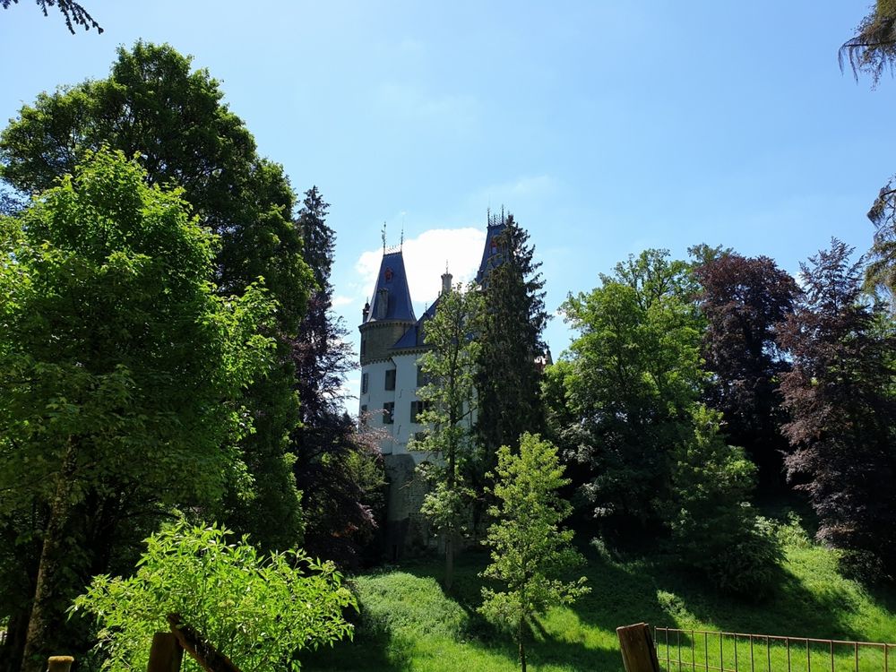
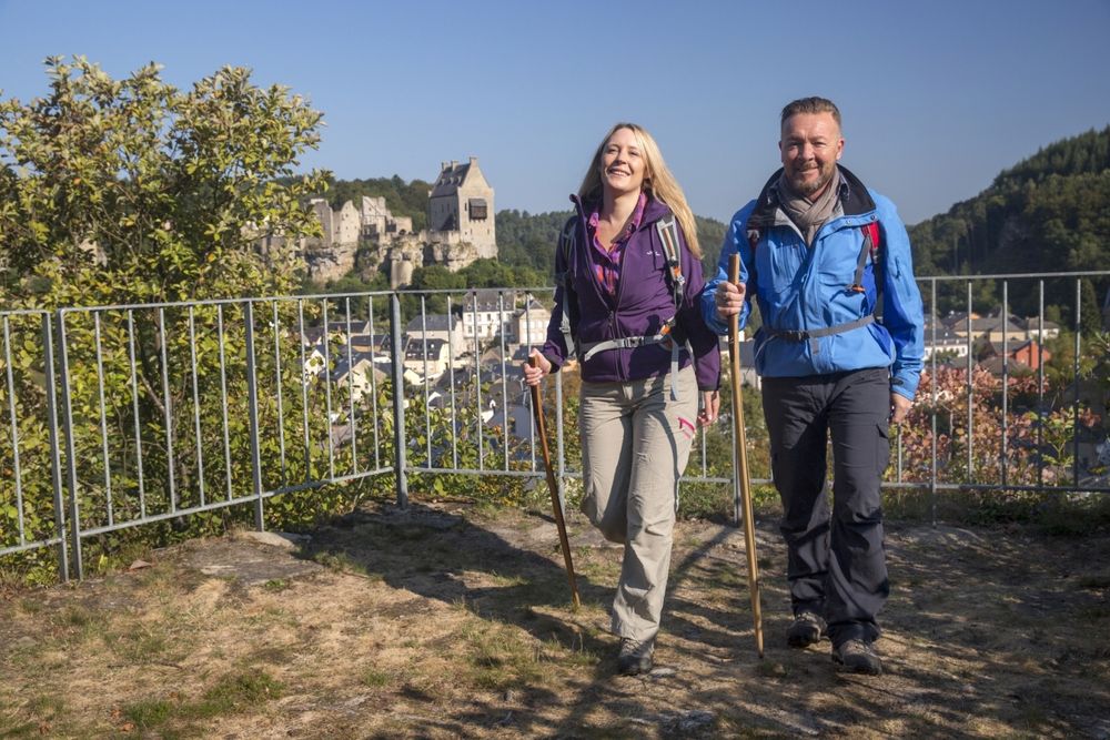
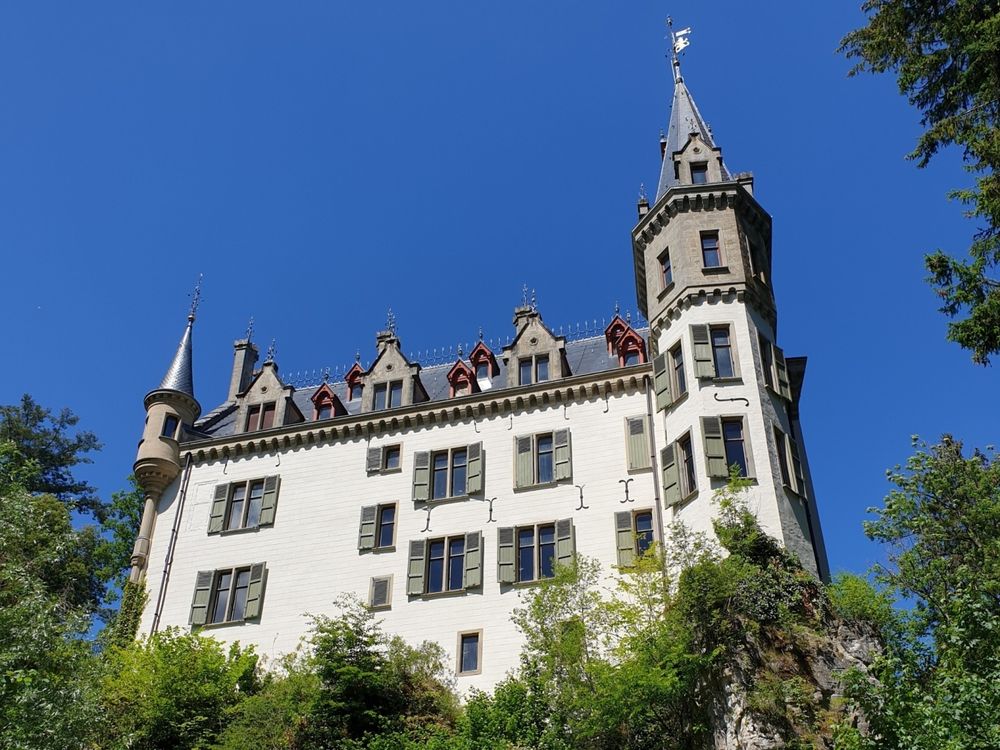
This varied hiking route offers you several viewpoints, fresh forest air, and takes you past Meesebuerg Castle.
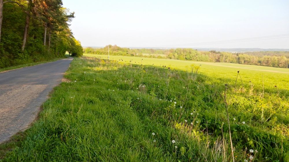
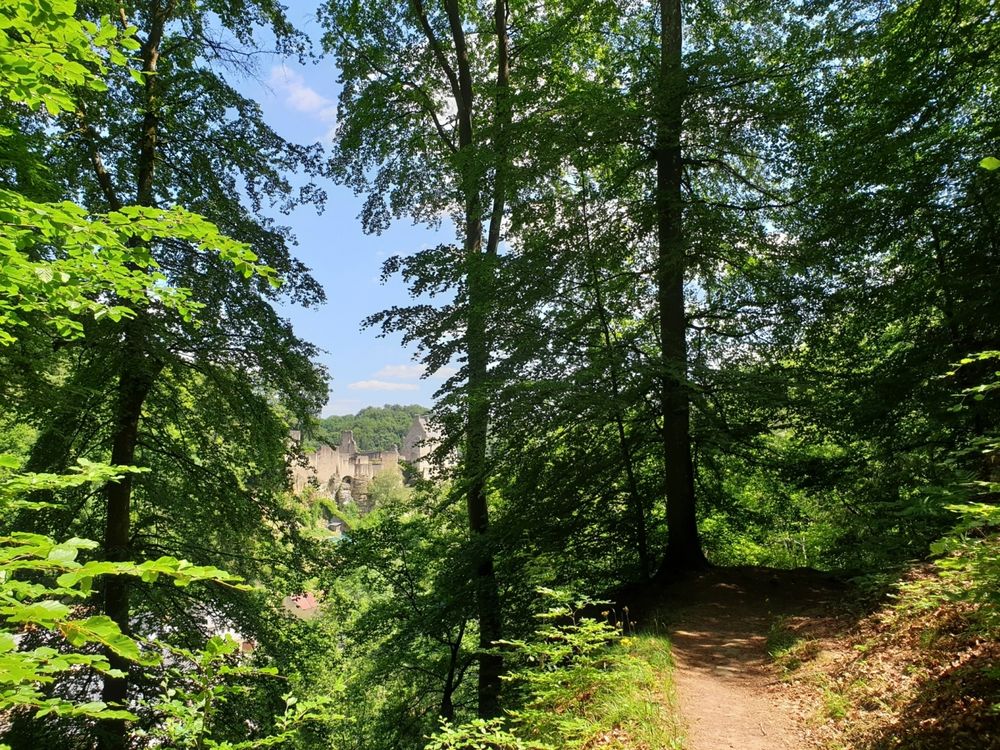
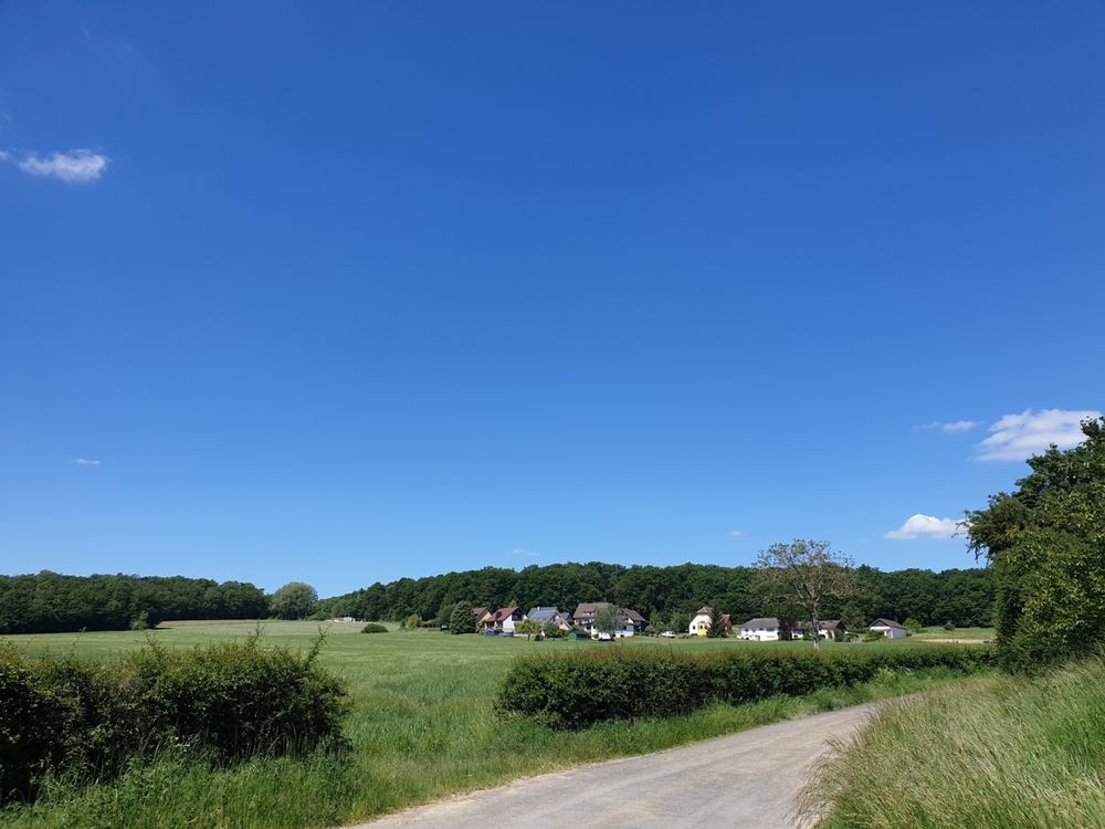
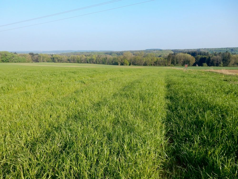
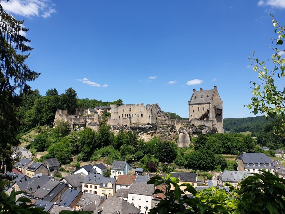
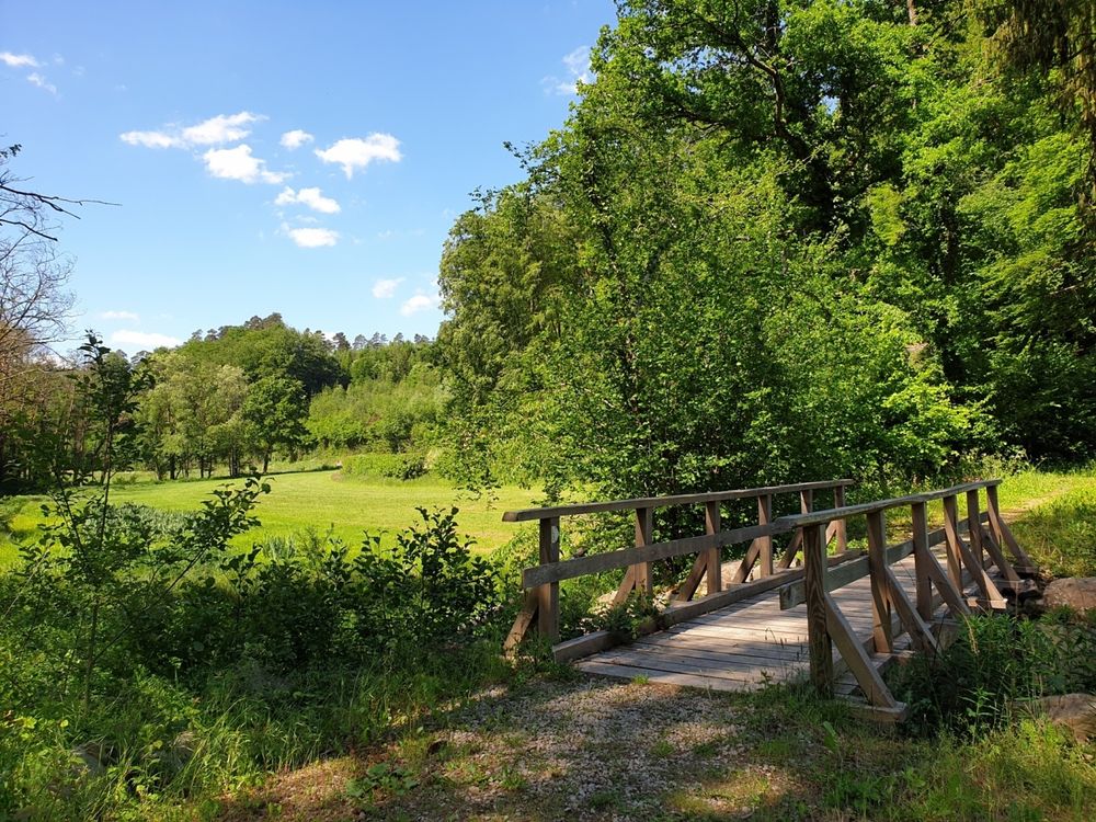
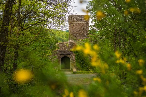
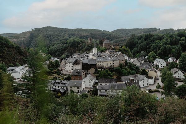
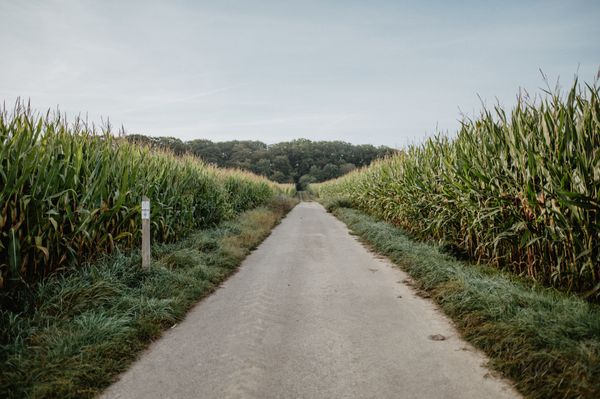
The town of Larochette lies in the valley of the White Ernz and offers a lot with its charming nature, tourist attractions, and cozy pubs. The main attraction of Larochette is the castle ruins, which sit on the rock above the town and give it a particularly romantic flair. The first highlight of the hike is the viewpoint "Täiperlee," which offers you a particularly beautiful view of the town and the castle. The hike leads you from Larochette via Ernzen to Meysembourg. The picnic benches near Meesebuerg Castle invite you to a cozy break in the open air. Along Gudelterhaff and Weyderterhaff you have beautiful and wide views over the fields. At the end of the hike, you are rewarded with another viewpoint overlooking the town and the castle ruins opposite.
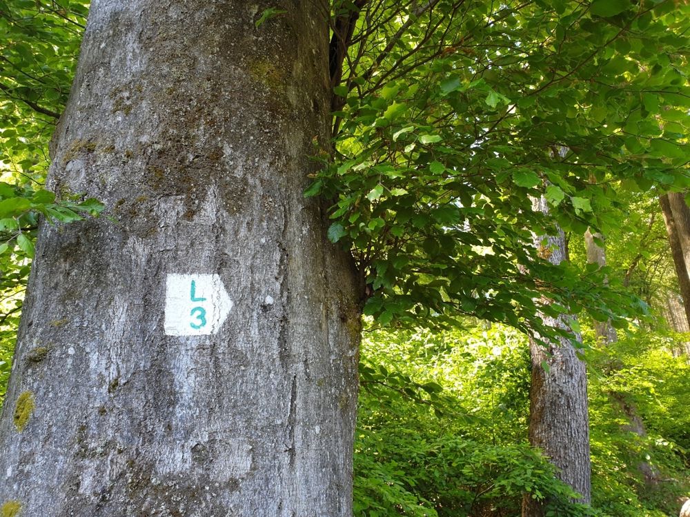
Signposting

Directions
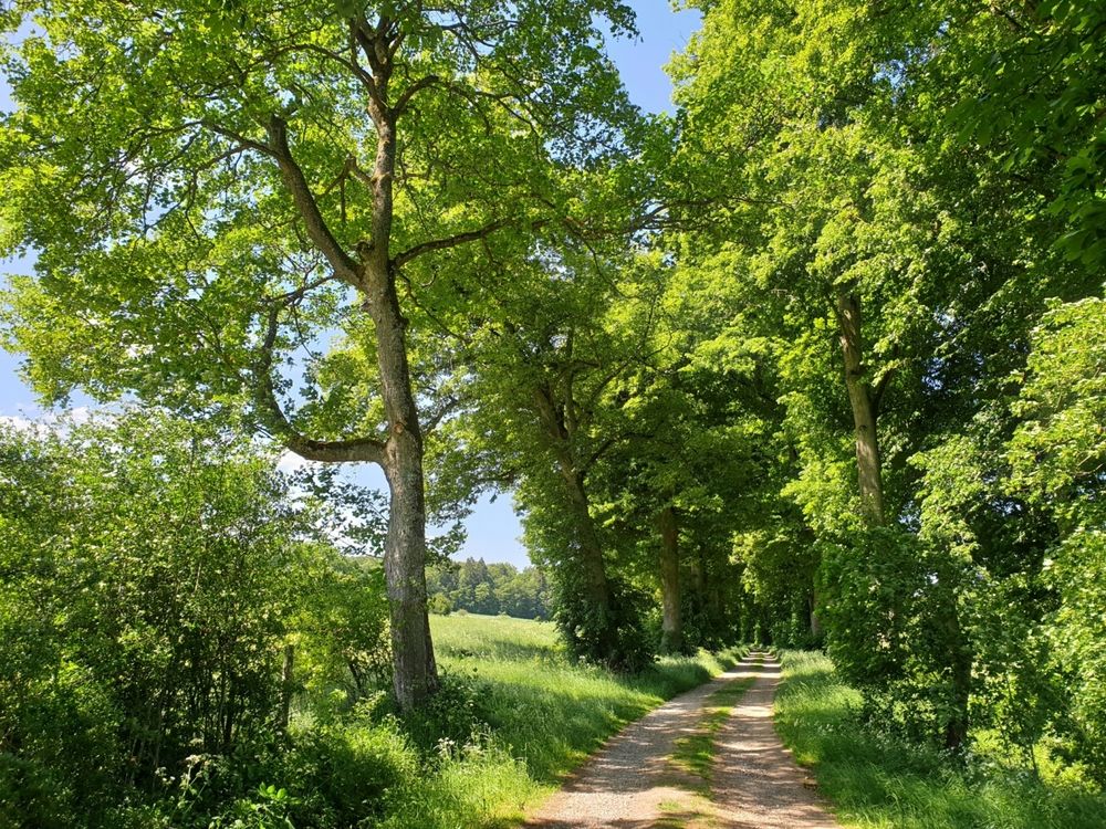
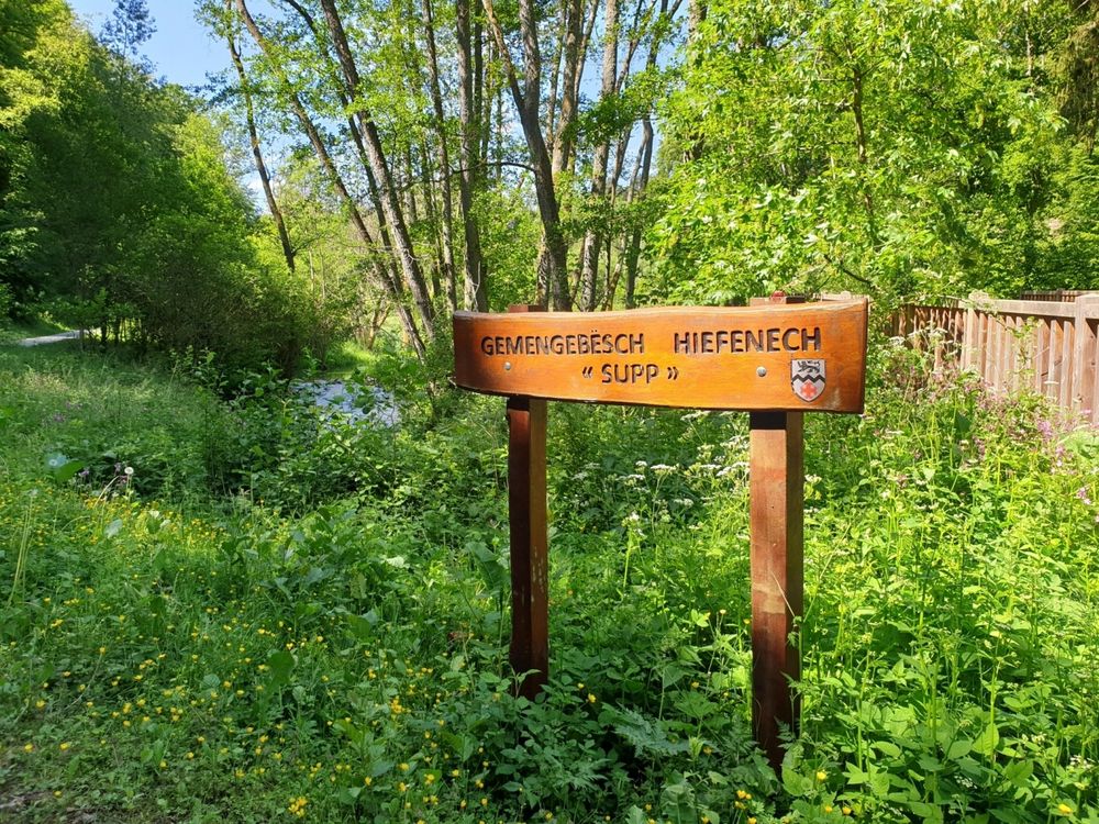
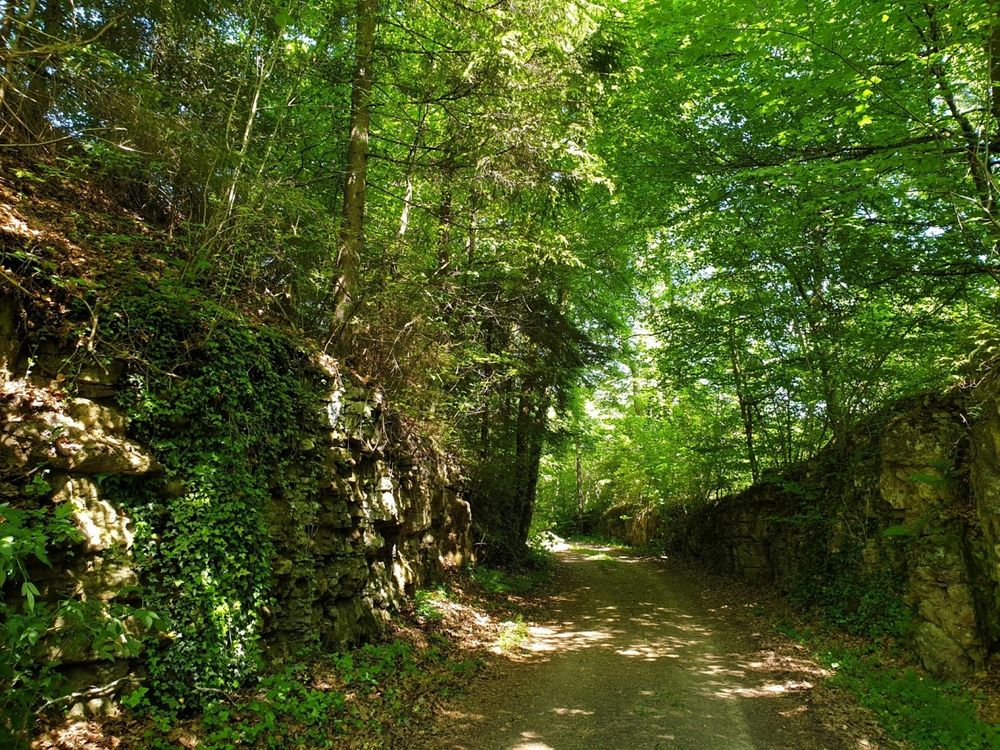
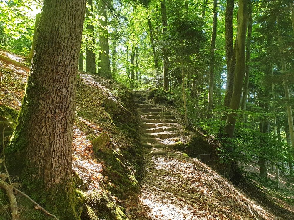
The start is at the Tourist Info and leads through the forest over the Himmelsbierg, with a beautiful view of Larochette and the castle ruins, as well as the Teiperlee towards Soup in Heffingen. There was a Bannmühle here, whose buildings are still well preserved today. The path is partially located above the old railway line of the Jhangeli. Then it goes towards Ernzen and over the hill to Meesebuerg Castle with a nice resting place. The path then follows a slight incline to Gudelterhaff and leads along Weyderterhaff and a campsite, with a place to stop, down back to the starting point.
Equipment
Sturdy footwear and something to drink.
Journey
Nearest bus stop: Larochette, Spuerkeess/Gare routière (right on site)
Parking:
Nearest car park: Schongfabrik (50 m)


 This website uses technology and content from the Outdooractive Platform.