Circular routes Visit Luxembourg
Description
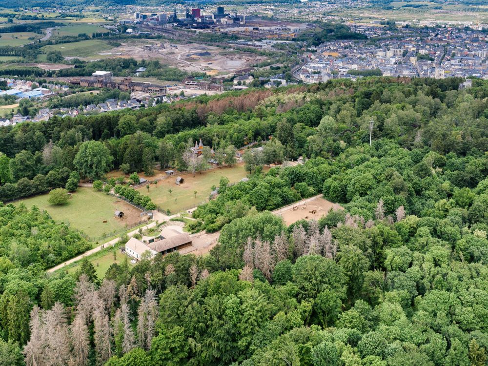
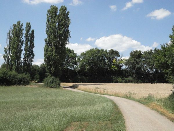
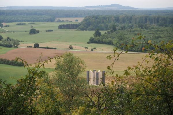
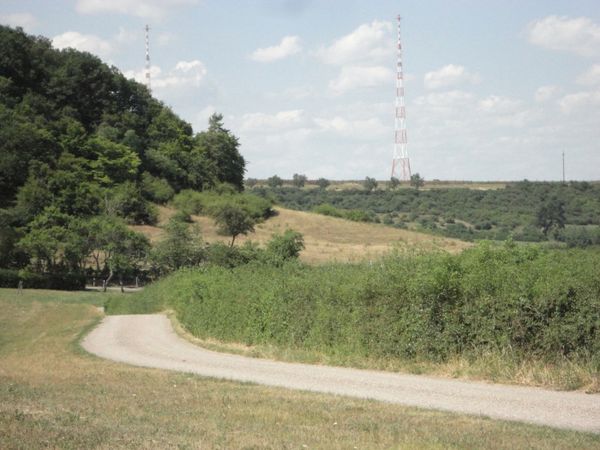
Hiking on the Escher Gaalgebierg
Points of interest:
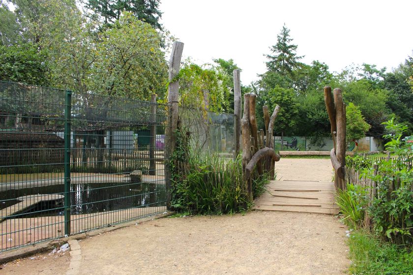
- “Escher Déirepark” animal park
- International sculpture symposium 1995
- Nature reserve for birds
- “Op der Gléicht” garden city
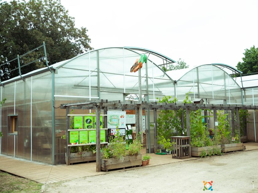
- “Waldschoul” forest school
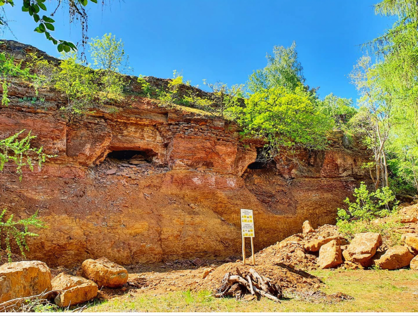
- “Eisekaul” former open-cast mine
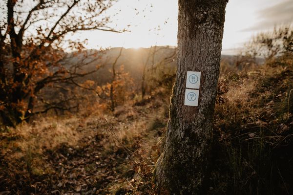
Signposting

Directions
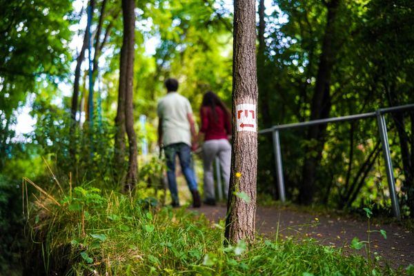
Follow the blue signs with the "G"
Journey
Public transport:
Esch-sur-Alzette train station is not far from the trail (but far from the starting point).
A bus line also runs from the train station to the starting point at the Eisekaul


 This website uses technology and content from the Outdooractive Platform.