Circular routes Visit Luxembourg
Description
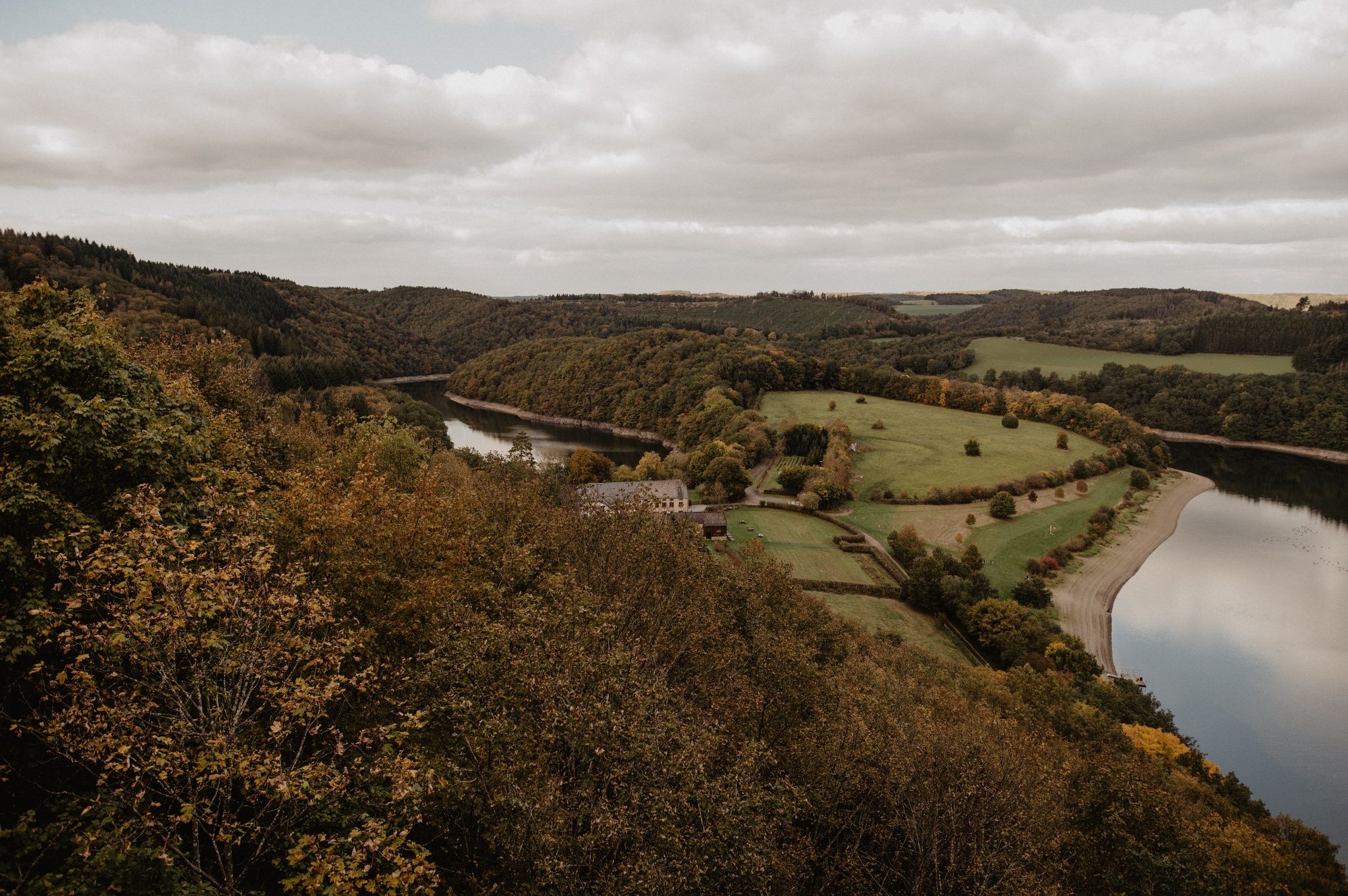
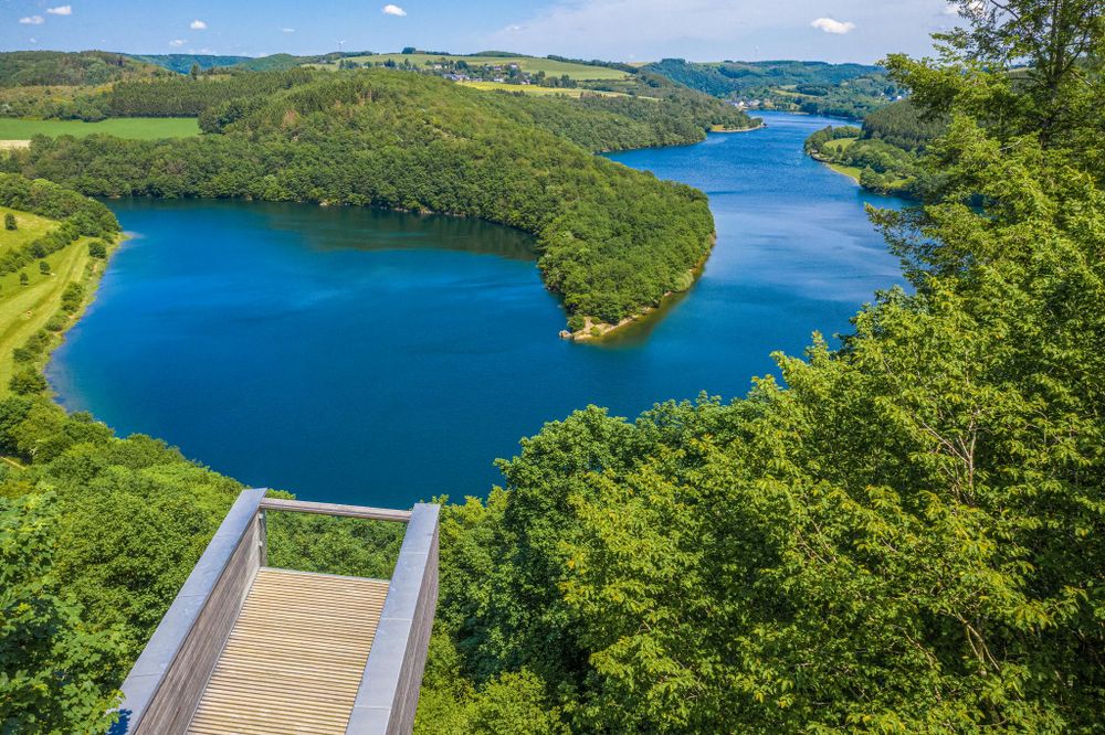
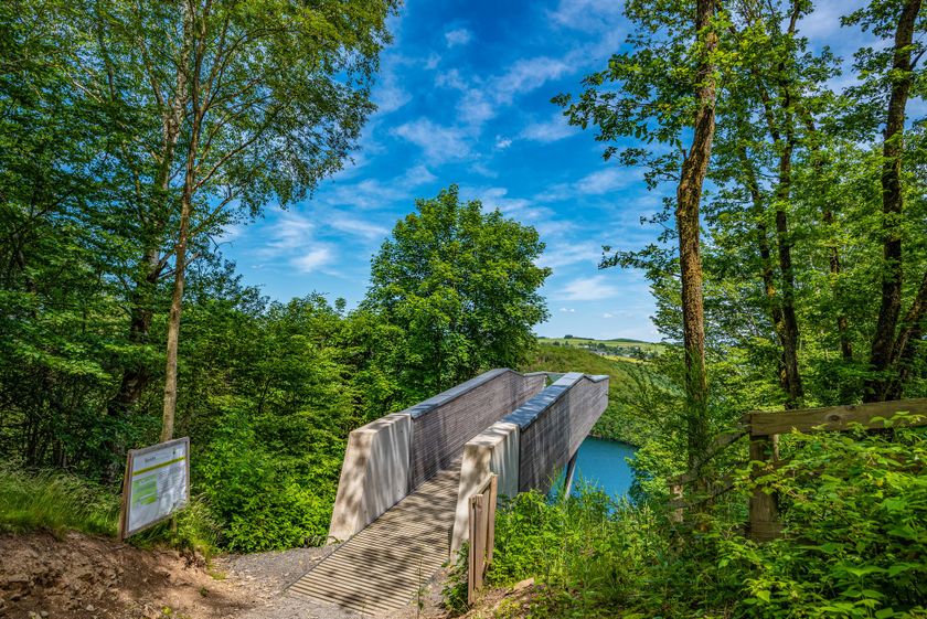
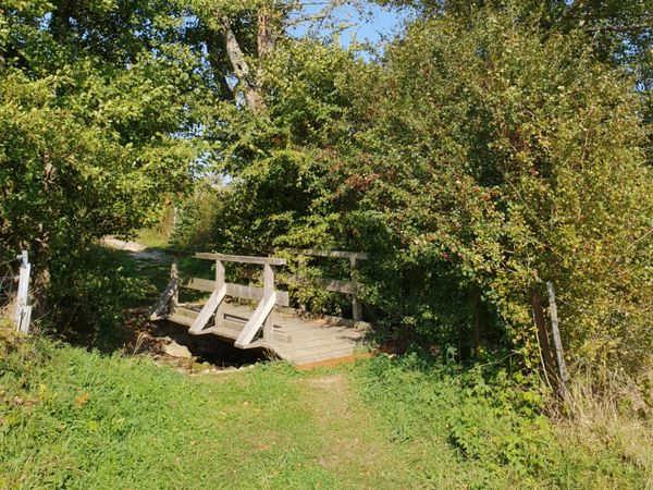
To the lake view
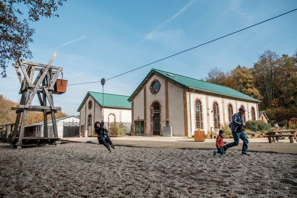
On this hike, you are sure to get some of the most beautiful views of the Obersauer Reservoir. The most spectacular view is from the Burfelt Belvédère observation platform. Down by the lake, at the Forest Discovery Center, you can learn about the animals and plants of the area. You should have some hiking experience for this small but fine route, as the best views are usually from a bit higher up!
Signposting

Directions
The hiking trail is marked in both directions. Please follow the white-blue "ES 1" markings.
For your safety
Weather conditions such as wetness, ice, and wind can make a route difficult. The information refers to optimal conditions.
Equipment
Sturdy footwear and something to drink.
Journey
Parking:
There is a parking lot right at the starting point.


 This website uses technology and content from the Outdooractive Platform.