Circular routes Visit Luxembourg
Description
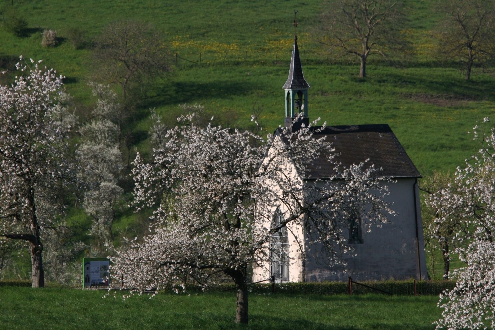
Daller Trëppeltour
The circular route starts at the community center in Trintingen and leads up the Kirchewee to the St. Stephen's Chapel. It continues past beautiful orchards and the Kiischtenbongert, where you can get information about the variety of cherry types. On the footpath running below the forest, explanations continue about the Roman road, the cultural landscape and forest formations. After crossing a small wooden footbridge, you can enjoy the beautiful panoramic view of the agricultural land. At the end, you are again immersed in the old agricultural architecture and return to the starting point.
Signposting

Equipment
Sturdy footwear
Journey
Public transport:
Parking:
Bus stop: Trintange, Trenteng
Parking:
Parking lot at the town hall


 This website uses technology and content from the Outdooractive Platform.