©Visit Guttland, Visit Guttland
Guttland Germany France

Auto-pédestre trail Sandweiler

Starting point

Cemetery Sandweiler

Destination

Cemetery Sandweiler

Distance
5,89 km
Duration
1:40 h
Difficulty
easy
  • Condition
Highest point
373 Hm
Lowest point
327 Hm
Aggregated Ascent
90 Hm
Aggregated Descent
90 Hm
Circular routes Visit Luxembourg

Description

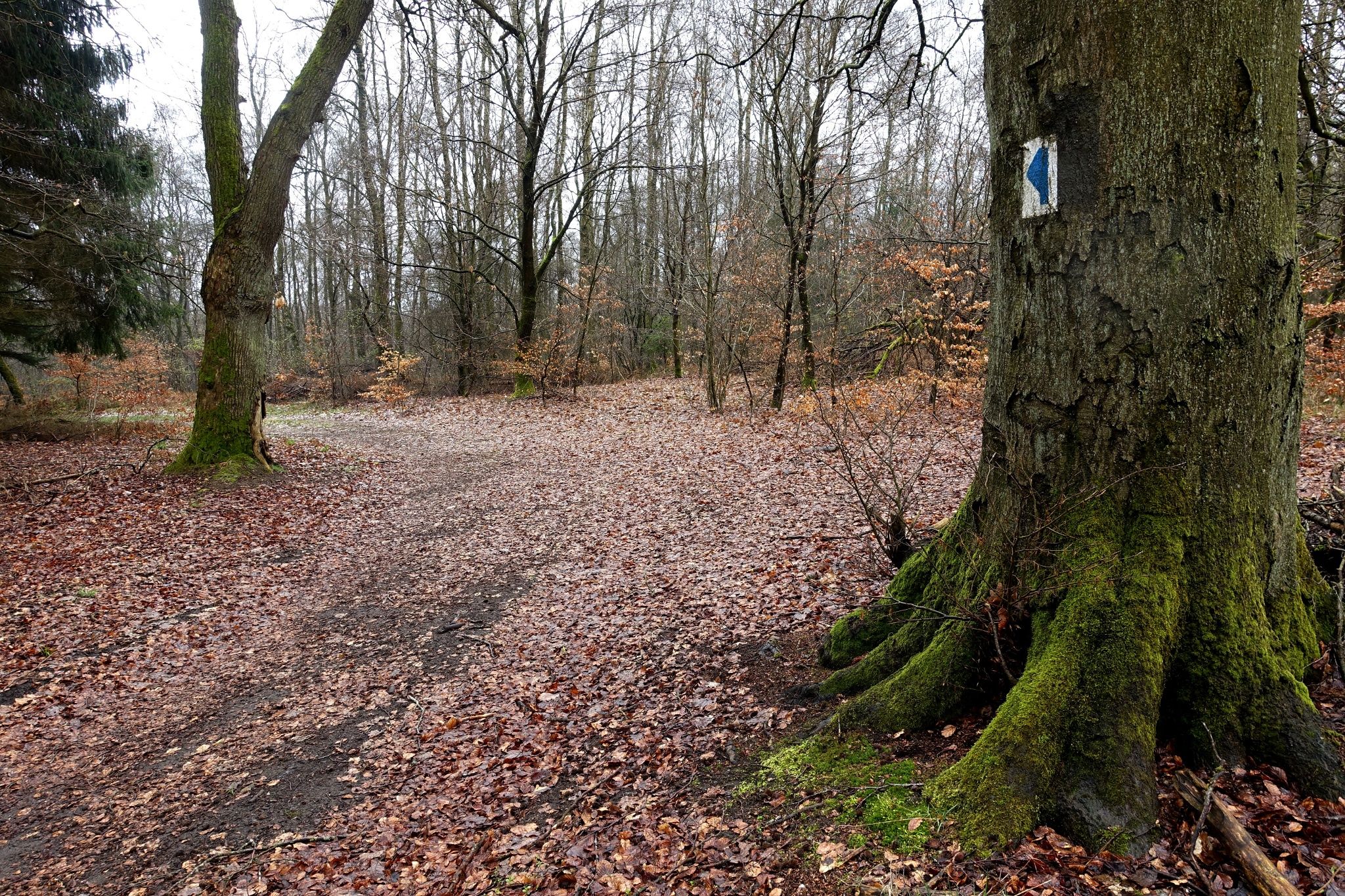
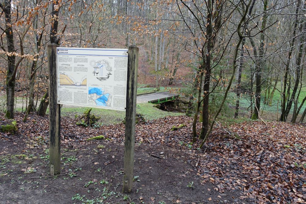
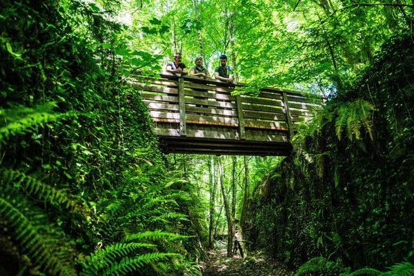
This short trail through the forest crosses the Rottsgronn to reach the Herel clearing and then the picturesque valley of Birelergronn before climbing back towards the Kundelskopp plateau.

Similar hiking tours

©Visit Luxembourg
Local hiking trail GM4 - Pärdsmaart
Distance: 4,62 km
Duration: 1:30 h
Difficulty: easy
Find out more
©Administration des Eaux et Forêts / LFT
Local hiking trail Esch: Sentier Pierre Wies trail – 8.5km
Distance: 10,60 km
Duration: 2:55 h
Difficulty: easy
Find out more
©ORT Sud
Circular routes
Natura 2000 nature trail - Loop B: “The exploitation of iron ore lands, past and present” – 4.5 km
Distance: 4,88 km
Duration: 1:15 h
Difficulty: easy
Find out more
©Pulsa Pictures, Pulsa Pictures ORT Sud
Local hiking trail Esch: Réimerwee - 4 km
Distance: 4,42 km
Duration: 1:15 h
Difficulty: easy
Find out more
©Visit Luxembourg
Circular routes
Auto-Pédestre Hiking Trail Büderscheid
Distance: 4,64 km
Duration: 1:20 h
Difficulty: easy
Find out more
©Luxembourg for Tourism
Circular routes
Auto-Pédestre Bourscheid route
Distance: 5,88 km
Duration: 2:05 h
Difficulty: easy
Find out more
©ORT Sud
Circular routes
Local hiking route "Parc Le'h" - children’s route
Distance: 1,46 km
Duration: 0:25 h
Difficulty: easy
Find out more
©Visit Luxembourg
Circular routes
Auto-Pédestre Hiking Route Eschweiler
Distance: 7,05 km
Duration: 1:55 h
Difficulty: easy
Find out more
©Visit Luxembourg
Circular routes
Auto-Pédestre Hiking Trail Surré
Distance: 6,21 km
Duration: 1:45 h
Difficulty: easy
Find out more
outdooractive This website uses technology and content from the Outdooractive Platform.