©Pulsa Pictures, ORT Sud
Minett Germany France

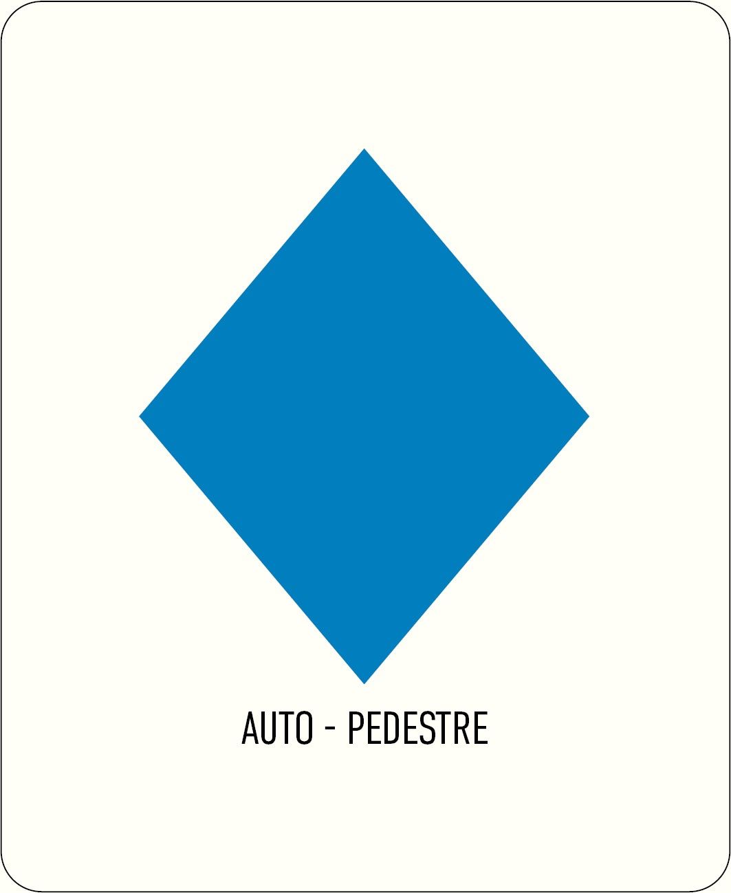
Auto-pédestre wandelroute Kayl

Jachtseizoen 2026/27 - Controleer de jachtgebieden voordat

Het jachtseizoen begint midden oktober. Tot januari/februari worden in het hele land jachten georganiseerd. Controleer de locatie voordat je vertrekt. Zie onze kaart voor alle details.

Klik op de kaart boven aan de pagina > meer > Services > Drijfjachten

Vertrekpunt

Parkeerplaats bij het Nationaal Mijnwerkersmonument ("Monument National des Mineurs"), Rue Notre Dame, Kayl

Bestemming

Parkeerplaats bij het Nationaal Mijnwerkersmonument ("Monument National des Mineurs"), Rue Notre Dame, Kayl

Route
5,88 km
Duur
1:45 h
moeilijkheid
makkelijk
  • Voorwaarde
Hoogste punt
401 Hm
Laagste punt
330 Hm
Beklimming
149 Hm
Herkomst
149 Hm
Rondwandelroutes Visit Luxembourg

Beschrijving

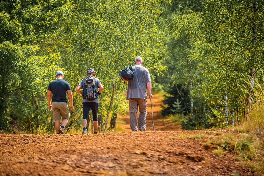
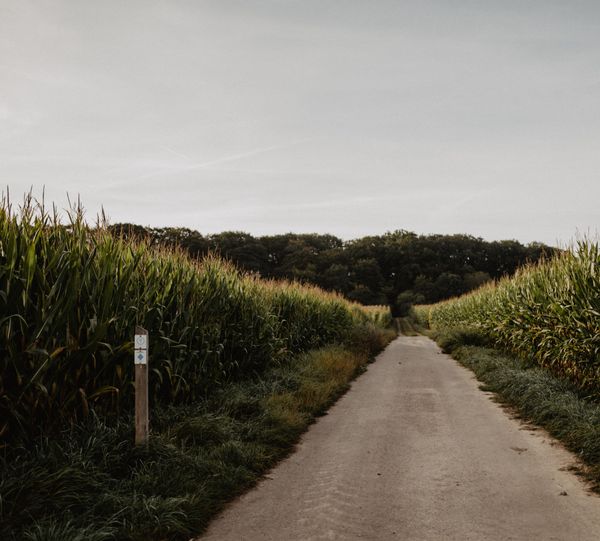
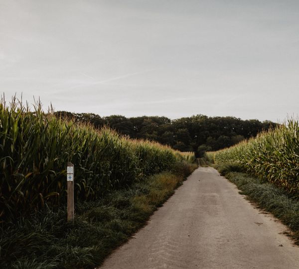
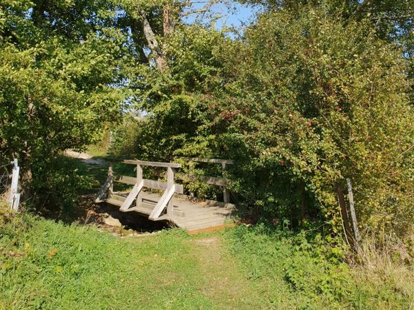
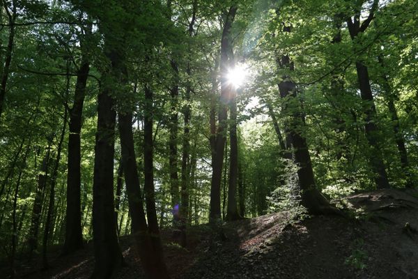
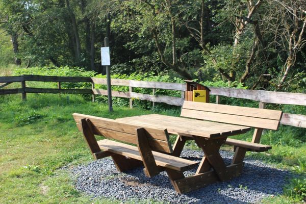
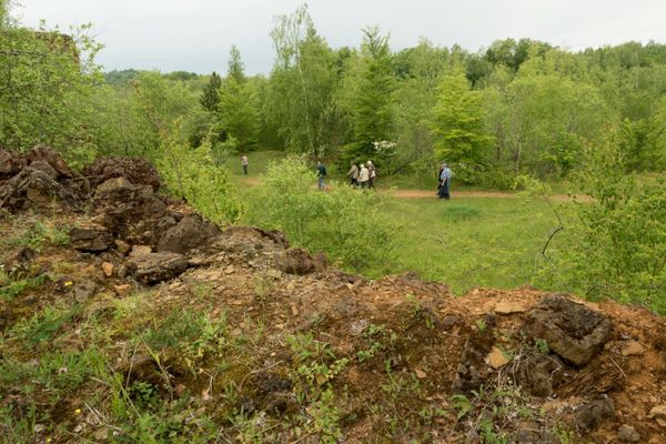
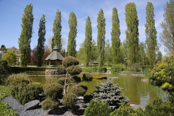
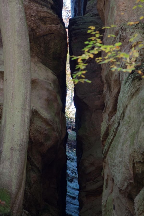
Wandel door een natuurreservaat op de Kayl Auto-Pédestre-route

We gaan eerst westwaarts door het bos langs de Léiffraechen naar het vliegeniersmonument. De route, die gedeeltelijk de nationale wandelroute "Sentier du Sud" volgt, omcirkelt de Rëschelerkopp en raakt de Bromeschbierg.

Hoogtepunten langs de tocht

Auto-pédestre wandelroute Kayl

  • Meer informatie

Vergelijkbare wandeltochten

©ORT Sud
Rondwandelroutes
Parc Le'h - wandelpad voor kinderen
Afstand: 1,46 km
Duur: 0:25 h
Moeilijkheidsgraad: makkelijk
Meer informatie
©Visit Luxembourg
Rondwandelroutes
Auto-Pédestre wandelroute Eschweiler
Afstand: 7,05 km
Duur: 1:55 h
Moeilijkheidsgraad: makkelijk
Meer informatie
©Visit Luxembourg
Rondwandelroutes
Auto-Pédestre wandelroute Surré
Afstand: 6,21 km
Duur: 1:45 h
Moeilijkheidsgraad: makkelijk
Meer informatie
©Visit Luxembourg
Thematische routes
Didactische pad over bijen tussen Waldbillig en Christnach
Afstand: 4,00 km
Duur: 1:30 h
Moeilijkheidsgraad: makkelijk
Meer informatie
©Fernand Morbach, Visit Luxembourg
Rondwandelroutes
Bësch Tour - RE1
Afstand: 7,63 km
Duur: 2:00 h
Moeilijkheidsgraad: makkelijk
Meer informatie
©ORT Sud
Thematische routes
Leerpad "Felten's Pole Learning Path"
Afstand: 1,80 km
Duur: 0:25 h
Moeilijkheidsgraad: makkelijk
Meer informatie
©© Claude Piscitelli / ONT, Visit Luxembourg
Thematische routes
Geologische tocht "Giele Botter"
Afstand: 2,91 km
Duur: 0:50 h
Moeilijkheidsgraad: makkelijk
Meer informatie
©Fernand Morbach, Visit Luxembourg
Rondwandelroutes
Kultur Tour
Afstand: 3,08 km
Duur: 0:50 h
Moeilijkheidsgraad: makkelijk
Meer informatie
©Visit Luxembourg
Rondwandelroutes
Lokale wandelroute - B13
Afstand: 2,78 km
Duur: 1:00 h
Moeilijkheidsgraad: makkelijk
Meer informatie
outdooractive Deze website maakt gebruik van technologie en inhoud van het Outdooractive Platform.