Langeafstandswandelroutes Visit Luxembourg
Beschrijving
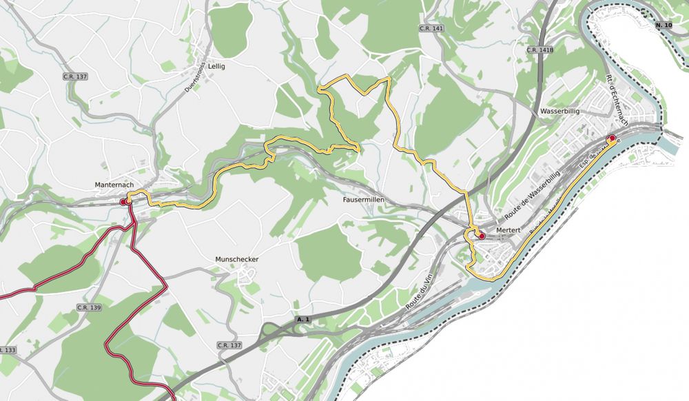
43 Station naar station Manternach - Mertert - Wasserbillig
Bewegwijzering

Wegbeschrijving
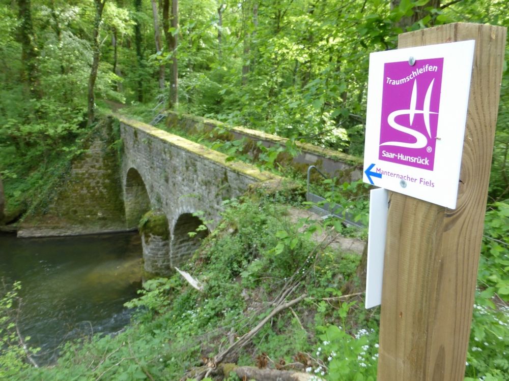
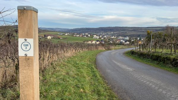
Het wandelpad is gemarkeerd in beide looprichtingen. Volg de wit-rode markeringen.
Aankomst
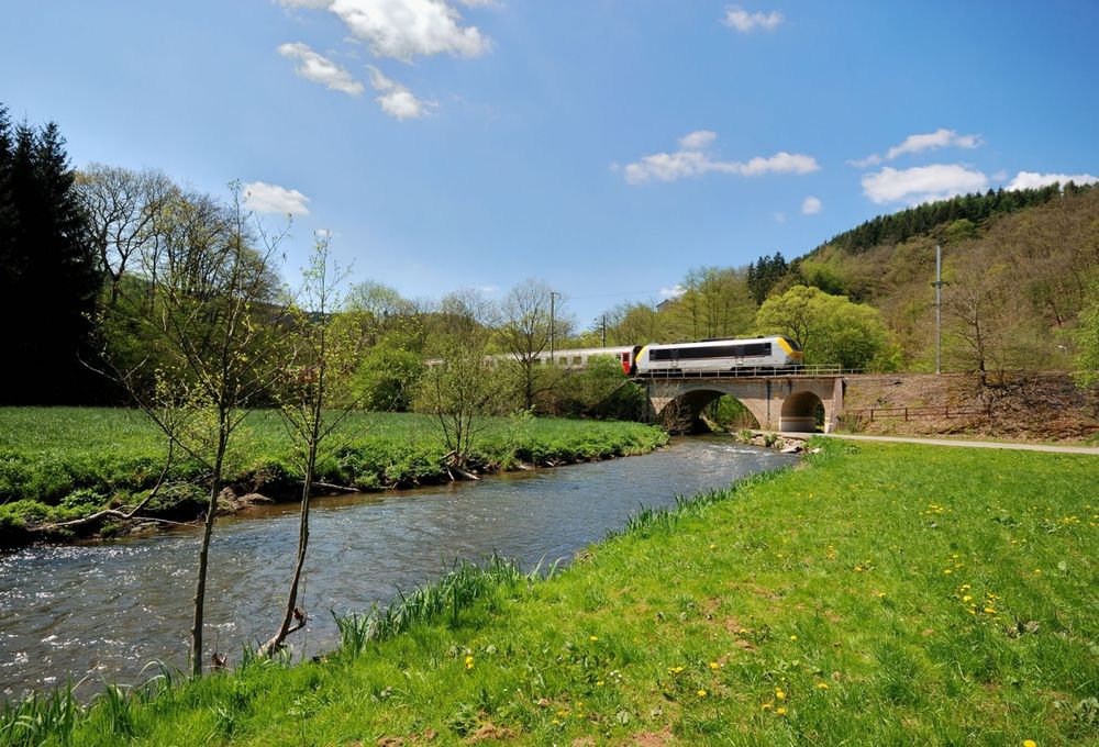
Openbaar vervoer:
Maak gebruik van het gratis openbaar vervoer en reis klimaatvriendelijk met bus en trein. Begin- en eindpunt van alle CFL-routes zijn per trein bereikbaar.


 Deze website maakt gebruik van technologie en inhoud van het Outdooractive Platform.