Starting point

Train station Manternach

Destination

Train station Manternach

Distance
11,29 km
Duration
3:15 h
Difficulty
medium
  • Condition
Highest point
282 Hm
Lowest point
130 Hm
Aggregated Ascent
264 Hm
Aggregated Descent
320 Hm
Distance trails Visit Luxembourg

Description

43 Station to station Manternach - Mertert - Wasserbillig

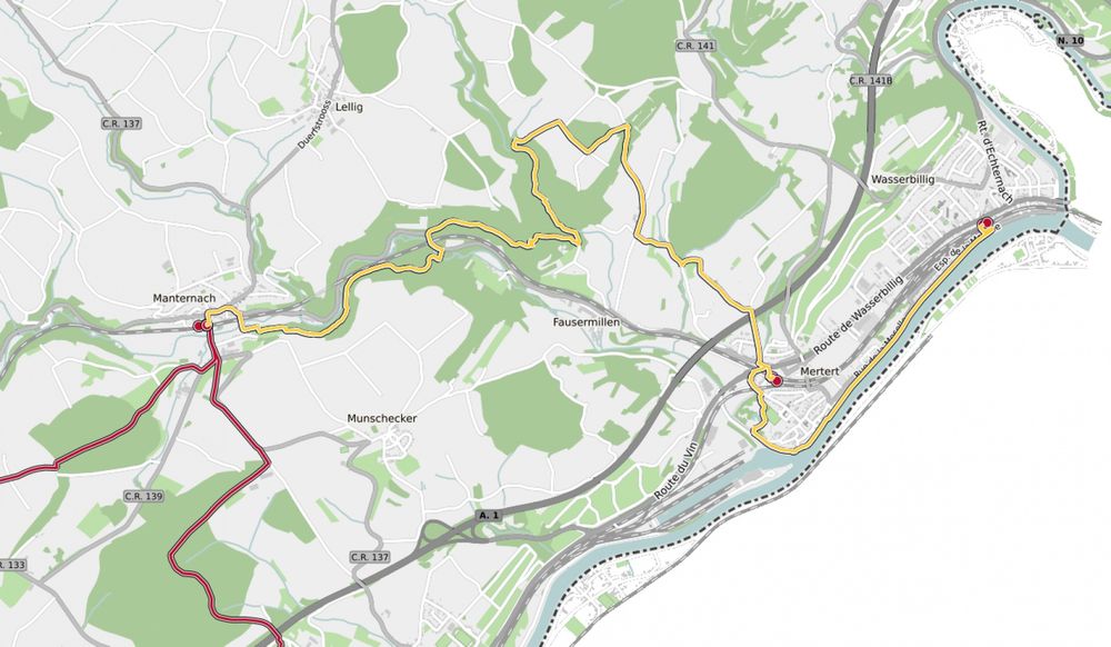
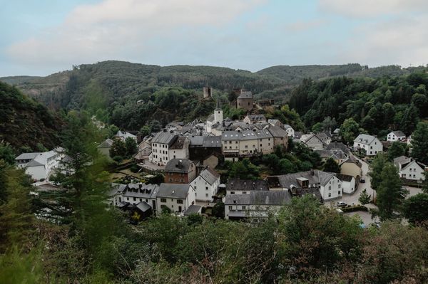
We leave the village eastwards and go towards the Syre. We follow the national footpath "Sentier de la Moselle" (sign: yellow rectangle) along the river and climb up the wooded slope shortly before Fielsmillen. We go through the Schlammbaach valley, over the Foolgruet and the motorway and arrive in Mertert. We cross the rail tracks, wander through the park and along the Syre as far as the Moselle bank. We follow the waterside promenade and go underneath an underpass in order to arrive at the station.

Current conditions

Source: Visit Luxembourg, Published: 2024-11-28
Blocking of the hiking trail CFL 43: Manternach-Wasserbillig
Closure: Currently the trail CFL 43: Manternach-Wasserbillig is not accessible. For your own safety, we ask for your attention and thank you for your understanding!

Suggestions nearby

43 Station to station Manternach - Mertert - Wasserbillig

  • © Pancake! Photographie
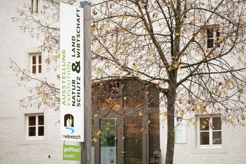
    Nature reserve "Manternacher Fiels" - A Wiewesch
    Nature reserve "Manternacher Fiels" - A Wiewesch
    Find out more

Similar hiking tours

© Visit Éislek, Visit Éislek
Circular routes
Local hiking trail RB 6 - Bilsdorf
Distance: 9,06 km
Duration: 2:35 h
Difficulty: medium
Find out more
© Visit Éislek, Visit Éislek
Circular routes
Local hiking trail TV 3 - Troisvierges
Distance: 8,14 km
Duration: 2:20 h
Difficulty: medium
Find out more
© Visit Luxembourg
Circular routes
Local hiking trail - N3
Distance: 2,88 km
Duration: 1:00 h
Difficulty: medium
Find out more
© Pancake! Photography, Visit Luxembourg
Circular routes
Local hiking trail Lintgen - Li1
Distance: 8,05 km
Duration: 2:20 h
Difficulty: medium
Find out more
© Pancake! Photographie, Visit Luxembourg
Thematic paths
Geo-Pad Haupeschbaach and Halerbaach
Distance: 4,94 km
Duration: 2:00 h
Difficulty: medium
Find out more
© Visit Luxembourg
Circular routes
Local hiking trail - C6
Distance: 5,88 km
Duration: 1:40 h
Difficulty: medium
Find out more
© CFL, Visit Luxembourg
Distance trails
32 Station to station Bascharage-Sanem - Dippach-Reckange
Distance: 10,14 km
Duration: 2:40 h
Difficulty: medium
Find out more
© Paul Hilbert, Visit Luxembourg
Circular routes
Auto-pédestre trail Machtum
Distance: 7,81 km
Duration: 2:10 h
Difficulty: medium
Find out more
© Visit Luxembourg
Circular routes
Local hiking trail - C1
Distance: 1,94 km
Duration: 0:35 h
Difficulty: medium
Find out more