Description
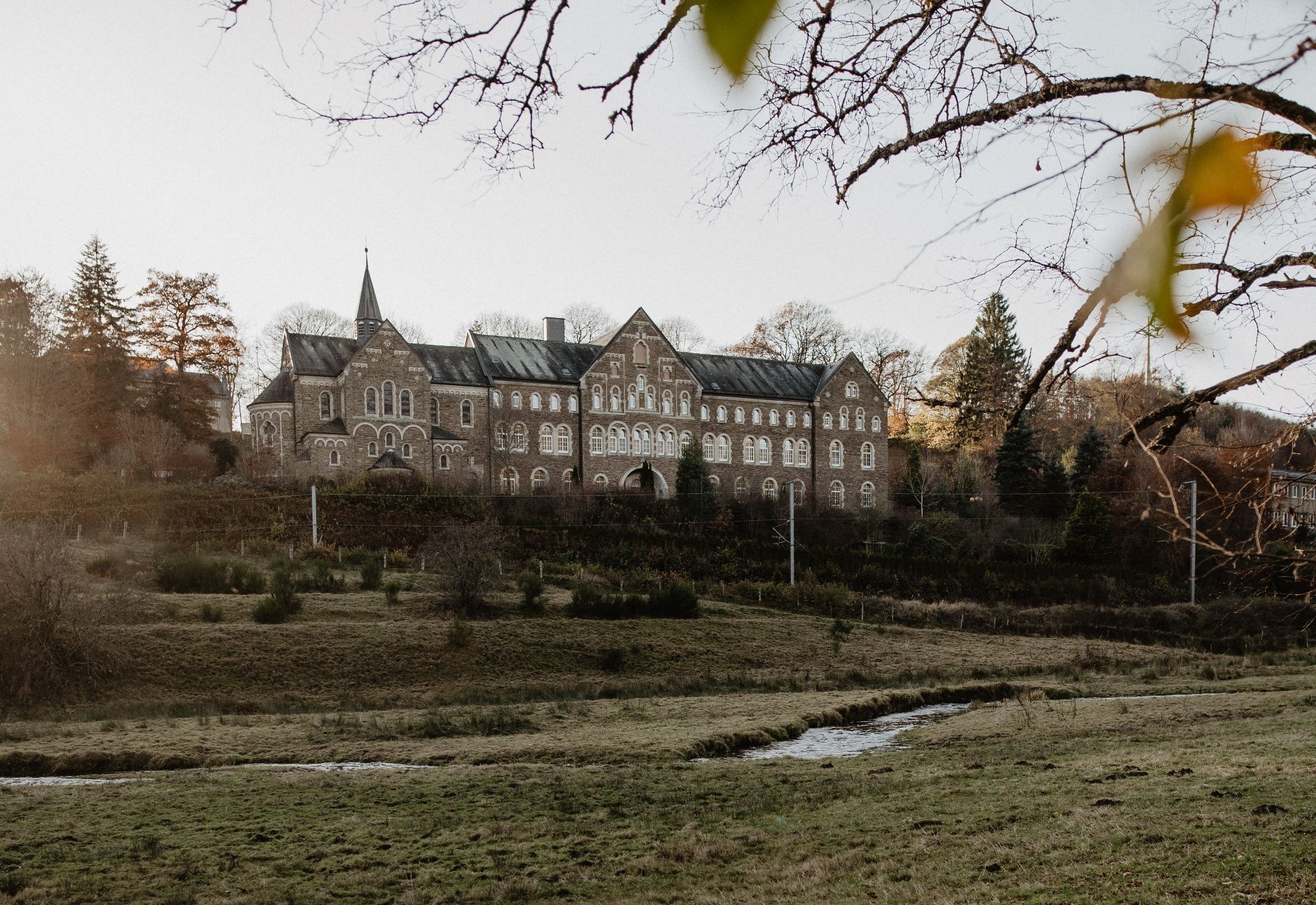
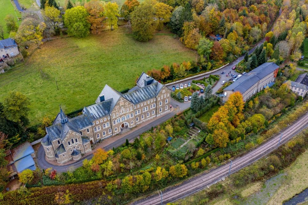
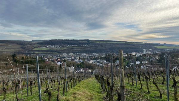
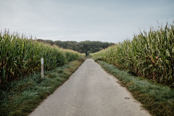
Across wide fields
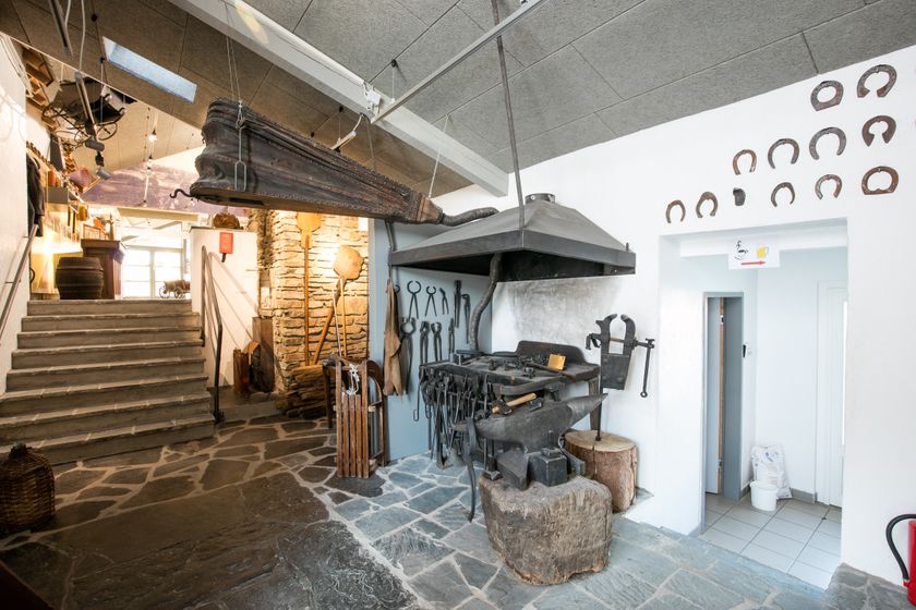
On this path, you walk over the fields of a vast plateau and let your gaze wander. You get insights into the former life of the inhabitants of the Ardennes villages at the country museum in Binsfeld. The place is directly on your way. A short stop and a journey into the past are worth it!
Audio
Binsfeld mp3Signposting

Directions
The hiking trail is marked in both directions. Please follow the white-blue "TV 3" markers.
For your safety
Weather conditions such as wetness, ice, and wind can make a route difficult. The information refers to optimal conditions.
Equipment
Sturdy footwear and something to drink.
Journey
Use the free public transport and travel climate-friendly by bus and train.
Nearest bus stop (150 m): "Bënzelterstrooss"
www.mobiliteit.lu
Parking:
A parking lot is located directly at the starting point.


 This website uses technology and content from the Outdooractive Platform.