Description
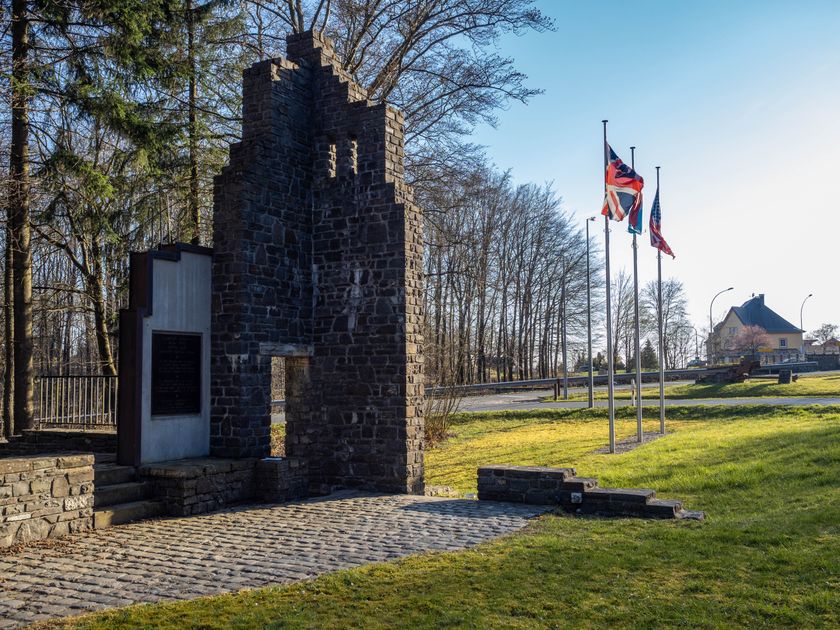
The Schumannseck was the site of the deadliest fighting of the Battle of the Ardennes. For several weeks, American soldiers and the German army faced each other in a deadly war of attrition. Thousands of lives were sacrificed. This place preserves the traces of the fighting that took place there from December 27, 1944, to January 21, 1945.
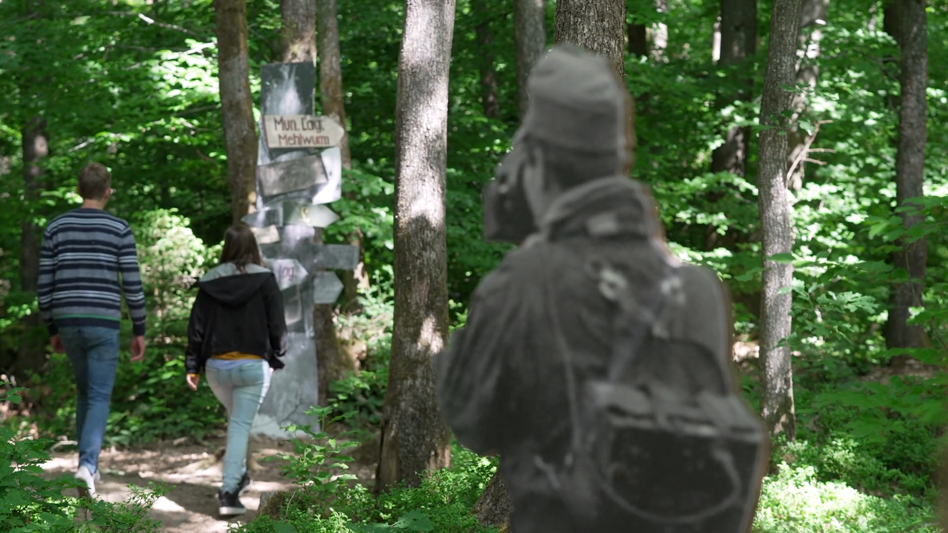
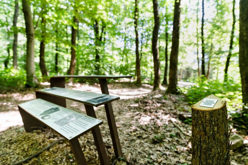
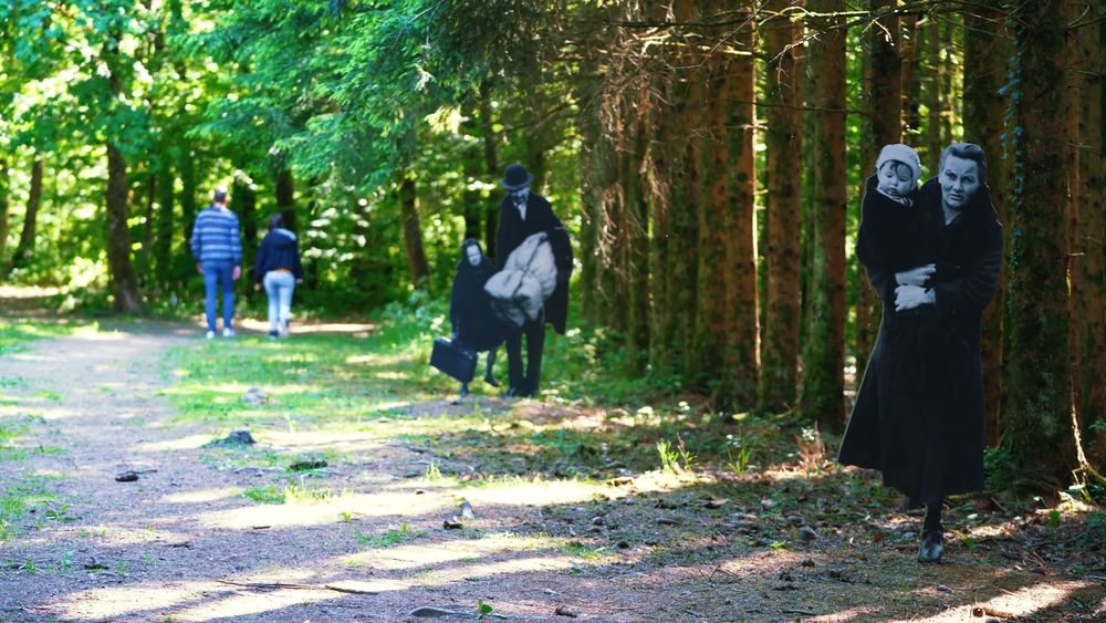
The experience route leads through the still visible remains such as foxholes, trenches, and bomb craters. Along the innovative memorial path, there are 65 life-size silhouettes created based on original photographs from the time of the battle. These images were mostly taken at Schumannseck or in the nearby area. Some of these figures have been supplemented with color images of items from national collections. Reconstructions of military shelters, some located in old quartzite quarries, give an idea of the conditions under which soldiers and civilians tried to survive the merciless close-combat battles in the freezing winter. Using QR codes on the trilingual information panels (FR, EN, DE), visitors can access over 150 authentic and moving eyewitness accounts at 20 thematic stations, as well as new historical insights made available through audio and video recordings.
The route covers 1.2 km (small loop) or 2.8 km (full circuit).
Guided tours are available upon request.
For your safety
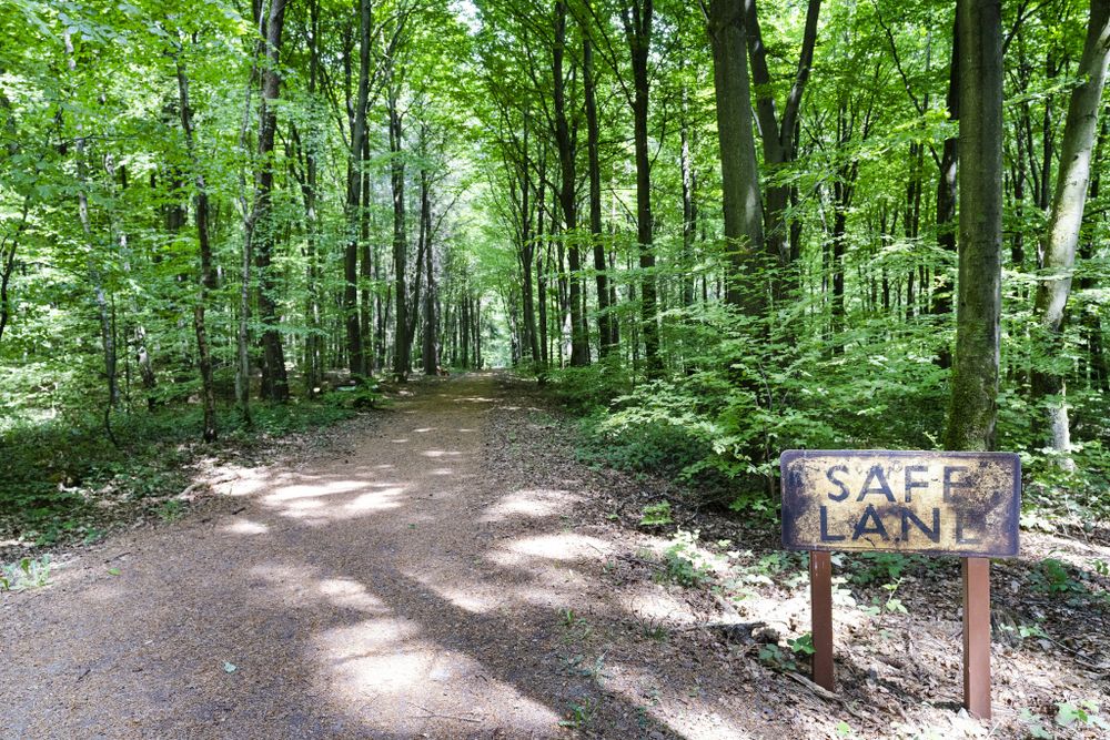
Please stay on the marked and signposted path. This is a former battlefield. The path has been secured, but still buried weapons can be dangerous.
Equipment
Bring sturdy footwear and appropriate clothing.
Journey
Bus stops: Wiltz, Schumann (lines: 537, 614, 615, 622, 624, 627, and 635) and Nothum, Schumann (lines: 614, 615, 620, 624, and 627).
Getting there:
Located at the Schumannseck junction (Nothum, near Wiltz) on the N15 between Ettelbruck and Bastogne.
Parking:
Nearest parking: Coming from Ettelbruck towards Bastogne, parking on the old road, about 100 meters from the entrance of the site.


 This website uses technology and content from the Outdooractive Platform.