Hunting Season 2025/26 — Check for hunts

Autumn is here, and that means hunting season has begun! From mid-October to January/February, hunters are active across the country. Stay safe by checking hunt dates in your area on our Map. 

Click on Map in the Header > Services > More > Hunting.

Starting point

Mullerthal: Tourist Center Heringer Millen

Destination

Mullerthal: Tourist Center Heringer Millen

Distance
11,13 km
Duration
3:40 h
Difficulty
medium
  • Condition
Highest point
340 Hm
Lowest point
178 Hm
Aggregated Ascent
321 Hm
Aggregated Descent
321 Hm
Circular routes Visit Luxembourg

Description

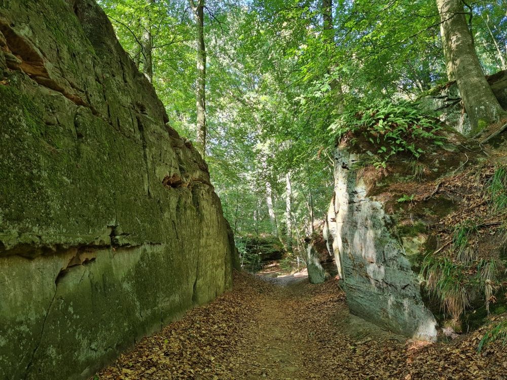
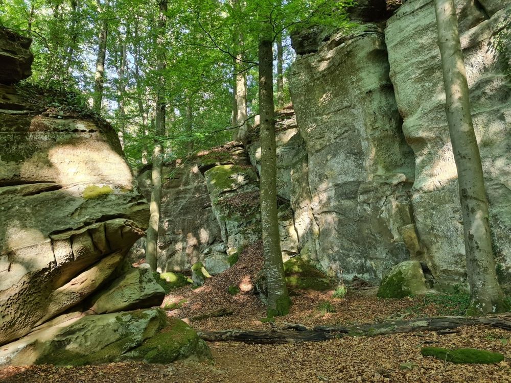
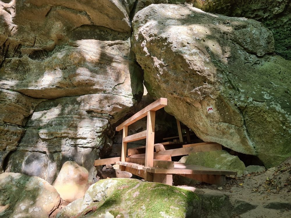
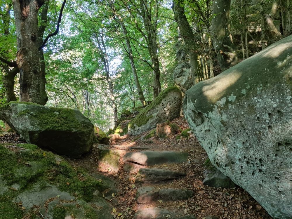
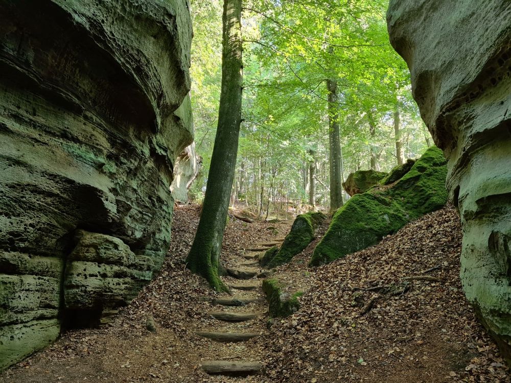
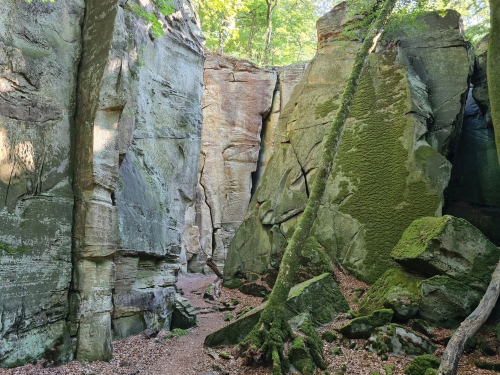
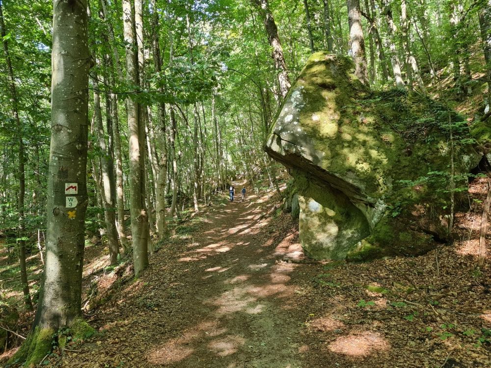
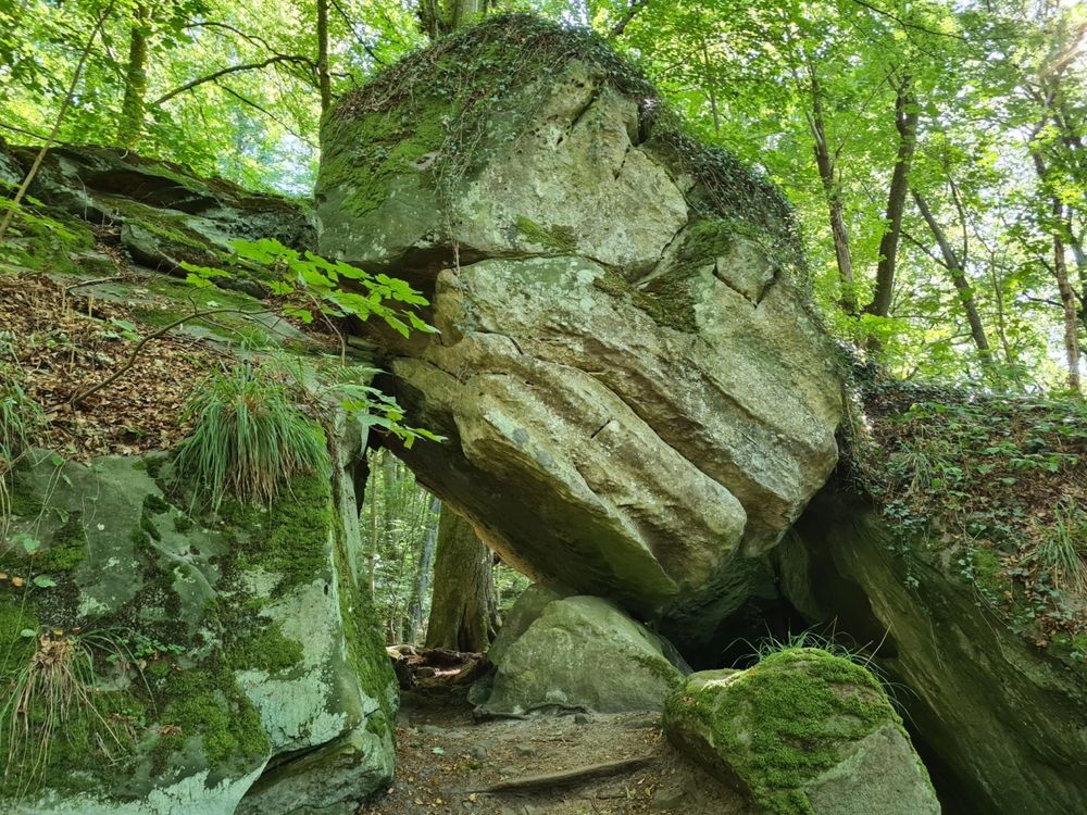
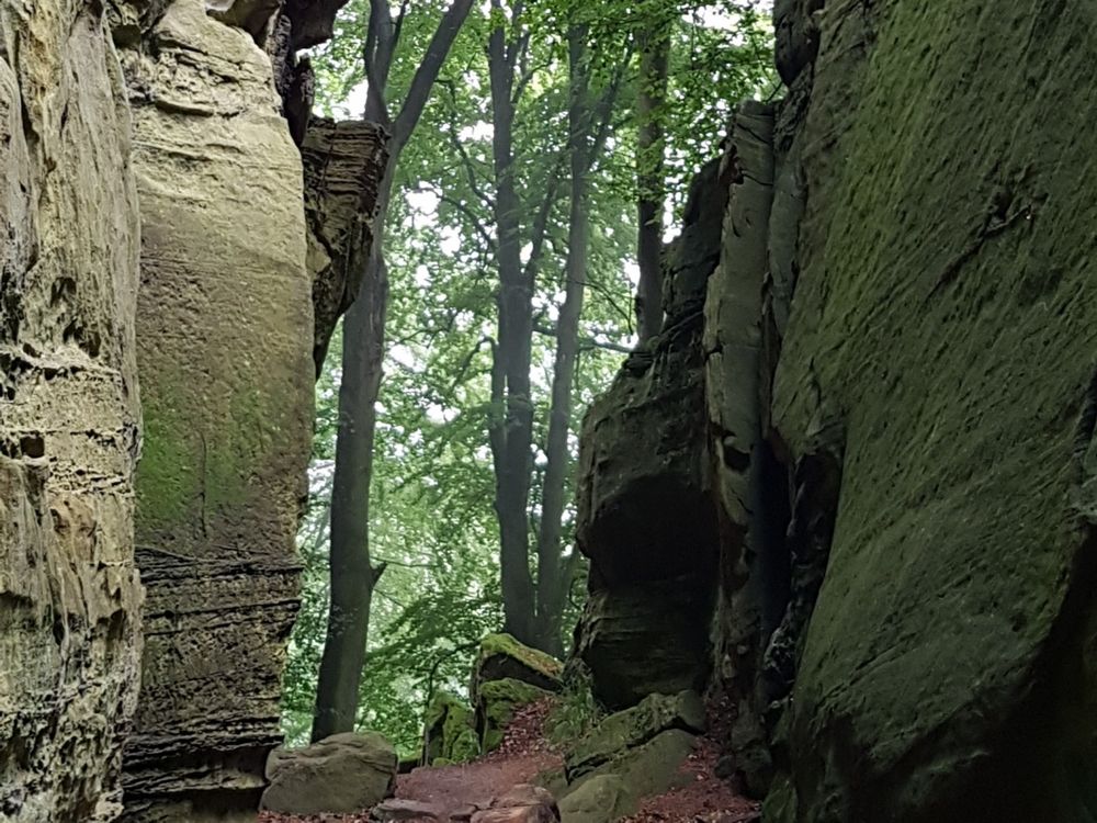
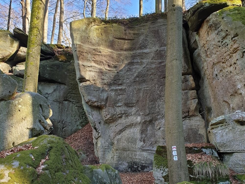
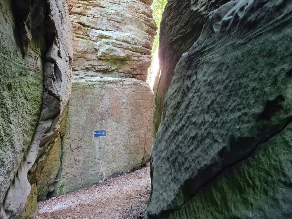
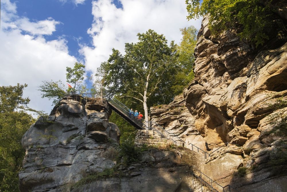
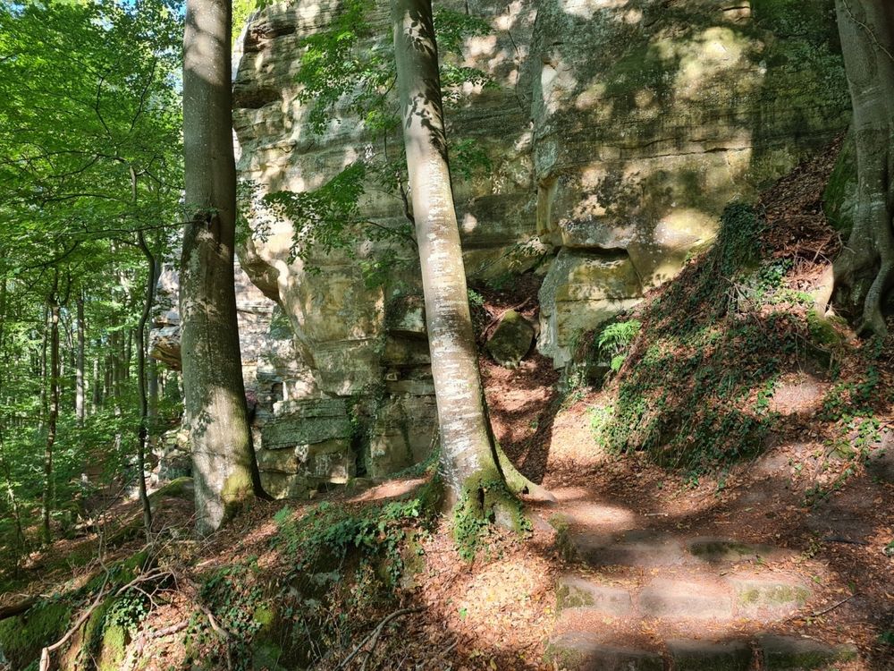
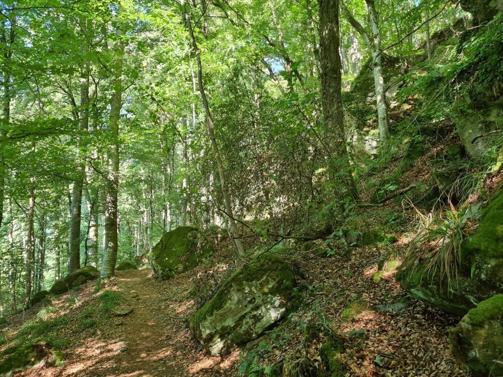
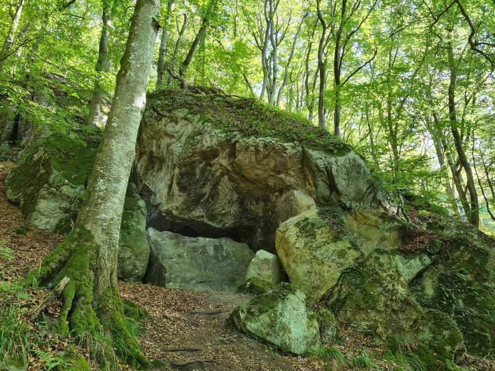
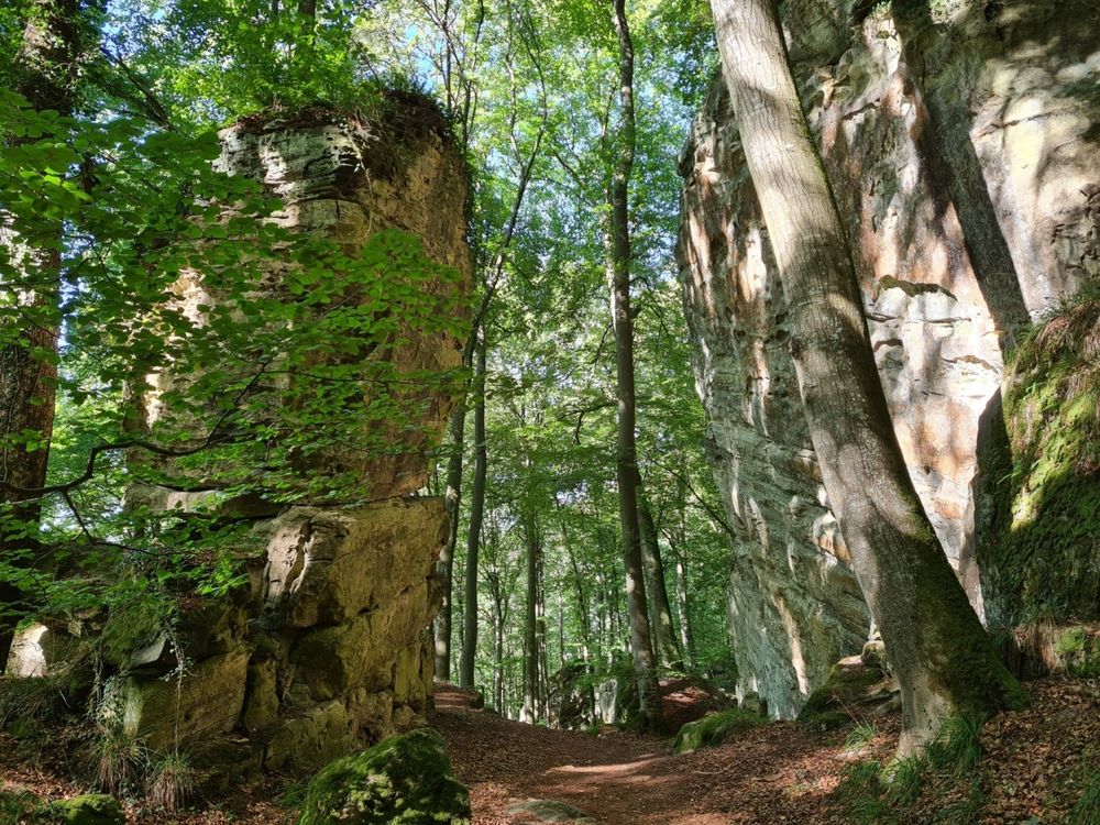
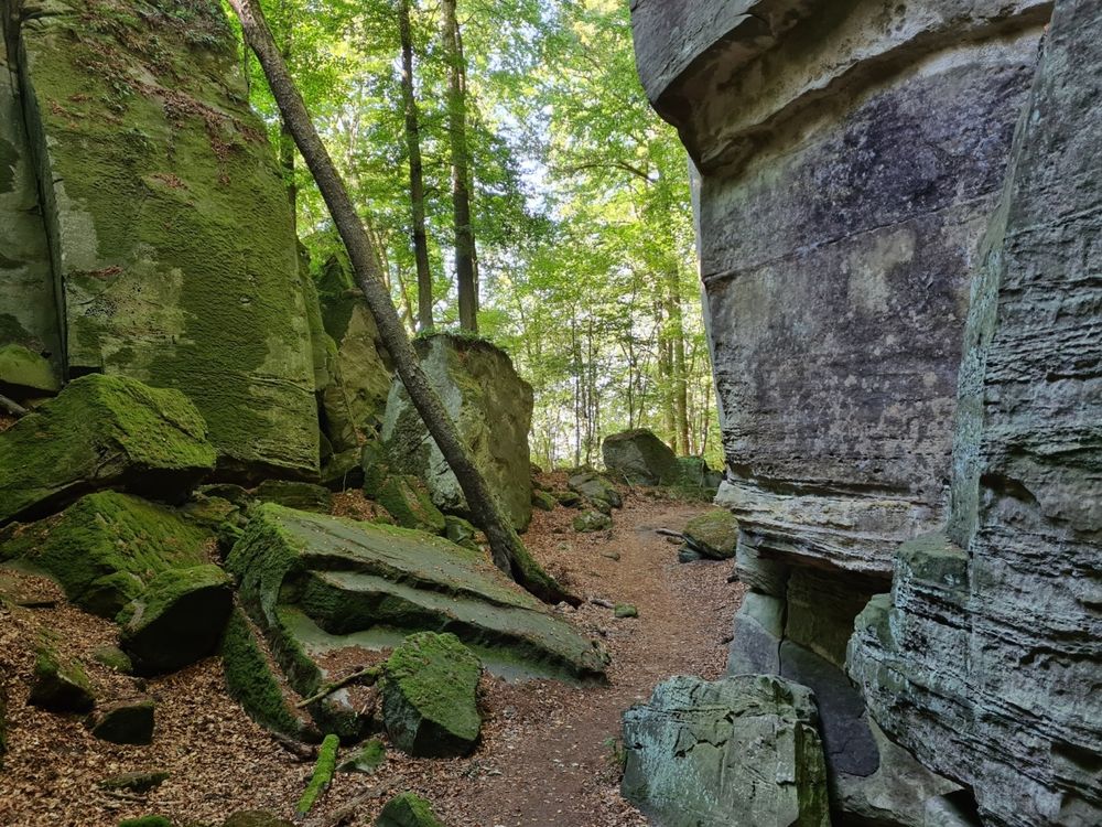
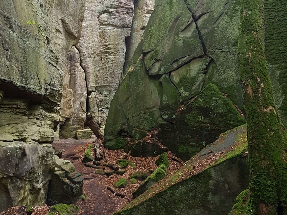
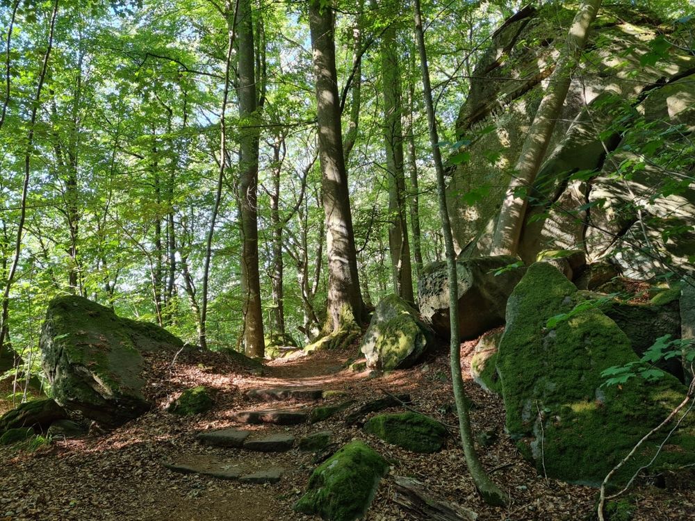
Spectacular rock formations and a picturesque stream valley make this trail an absolute highlight.

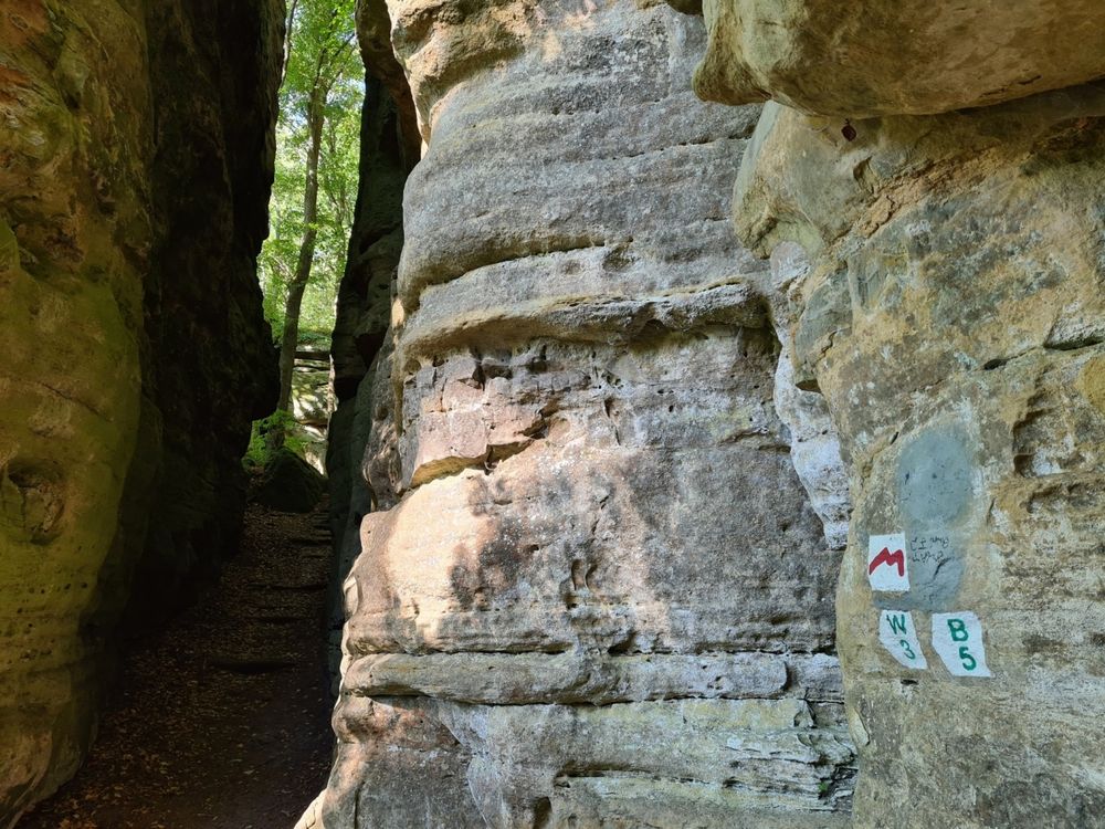
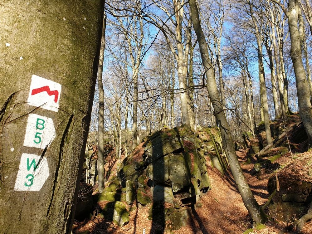
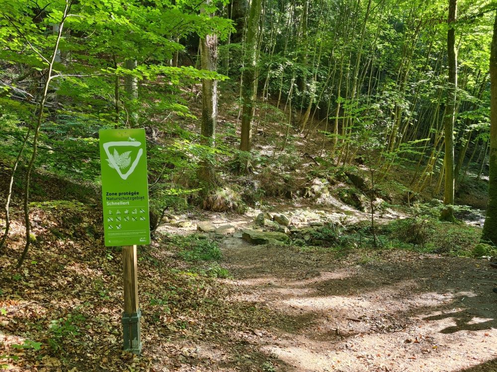
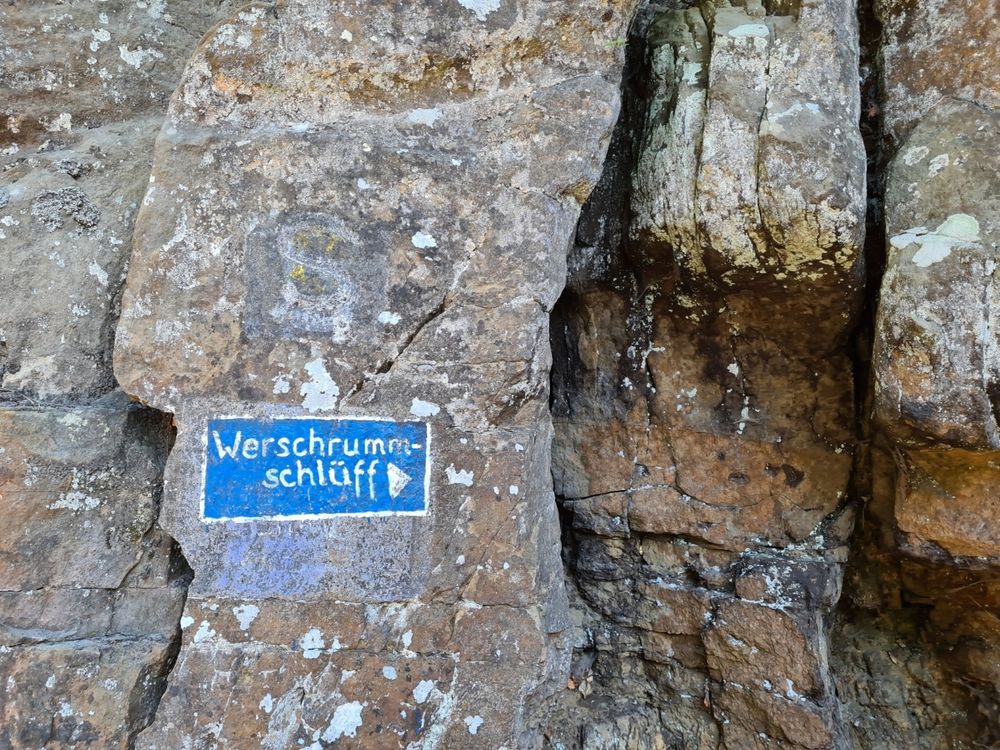
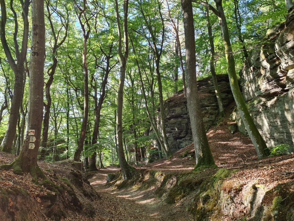
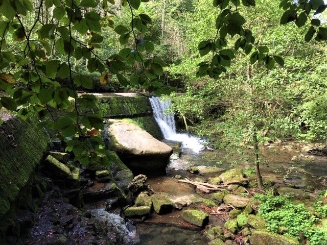
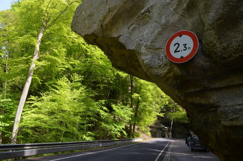
Starting in the village of Müllerthal at the Tourist Center Heringer Millen. The hike leads through the forest towards Berdorf over picturesque slopes and past fairytale-like rocks. The narrow passages in the house-high rock walls around the Werschrummschlëff invite you to explore. Right afterwards, you reach the Predigtstuhl, a house-high rock formation that partly hangs over the main road to Berdorf. You can climb the Predigtstuhl on steps carved into the rock through its labyrinthine passages and enjoy the view. The return path leads through the cool valley of the black Ernz back to the village of Müllerthal.
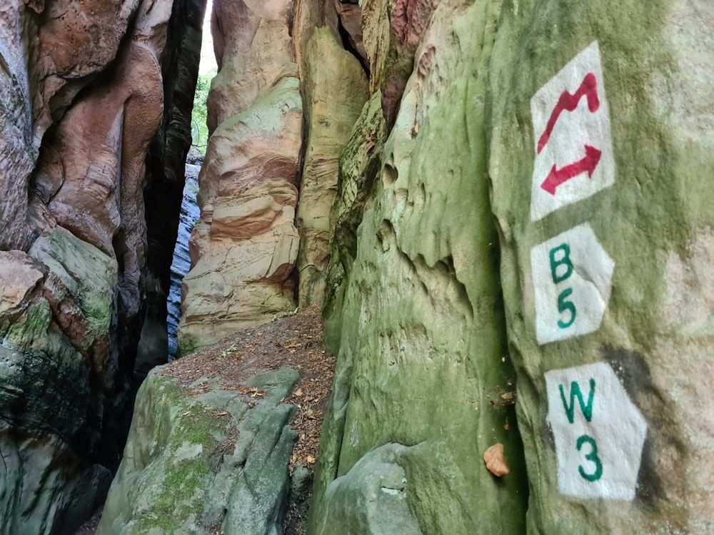
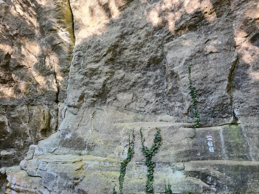
Suggestions nearby

Local hiking trail - W3

  • Rock formation "Priedegtstull"
    The impressive rock overhangs the road and offers an impressive view.
    Find out more
  • ©Hotel Restaurant Le Cigalon
    Restaurant Le Cigalon
    Restaurant Le Cigalon
    Find out more

Similar hiking tours

©Visit Luxembourg
Circular routes
Auto-Pédestre hiking route Heiderscheid
Distance: 7,97 km
Duration: 2:25 h
Difficulty: medium
Find out more
©Visit Luxembourg
Circular routes
Auto-Pédestre route Lieler
Distance: 7,85 km
Duration: 2:15 h
Difficulty: medium
Find out more
©Visit Luxembourg
Circular routes
Auto-Pédestre hiking route Roder
Distance: 7,64 km
Duration: 2:30 h
Difficulty: medium
Find out more
©Visit Luxembourg
Circular routes
Auto-Pédestre Hiking Trail Dahl
Distance: 9,05 km
Duration: 2:45 h
Difficulty: medium
Find out more
©Visit Luxembourg
Circular routes
Auto-Pédestre Baschleiden route
Distance: 8,55 km
Duration: 2:40 h
Difficulty: medium
Find out more
©Lynn Schüssler, Visit Luxembourg
Éislek Pied
Éislek Pad Heinerscheid
Distance: 15,84 km
Duration: 4:50 h
Difficulty: medium
Find out more
©Visit Luxembourg
Circular routes
Auto-Pédestre Hiking Trail Consthum
Distance: 7,72 km
Duration: 2:15 h
Difficulty: medium
Find out more
©Visit Luxembourg
Circular routes
Auto-Pédestre trail Gralingen
Distance: 9,47 km
Duration: 2:50 h
Difficulty: medium
Find out more
©Visit Luxembourg
Circular routes
Circuit du Lac (eastern part)
Distance: 16,79 km
Duration: 5:30 h
Difficulty: medium
Find out more
outdooractive This website uses technology and content from the Outdooractive Platform.