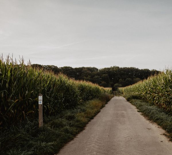
©Visit Luxembourg
Müllerthal Germany France

Local hiking trail - L1

Hunting Season 2026/27 — Check for hunts

Autumn is here, and that means hunting season has begun! From mid-October to January/February, hunters are active across the country. Stay safe by checking hunt dates in your area on our Map. 

Click on Map in the Header > Services > More > Hunting.

Starting point

Larochette: Tourist Info

Destination

Larochette: Tourist Info

Distance
2,31 km
Difficulty
easy
  • Condition
Highest point
321 Hm
Lowest point
266 Hm
Aggregated Ascent
57 Hm
Aggregated Descent
57 Hm
Circular routes Visit Luxembourg

Description

Kids & Family Scenic Refreshment stops available Dog-friendly

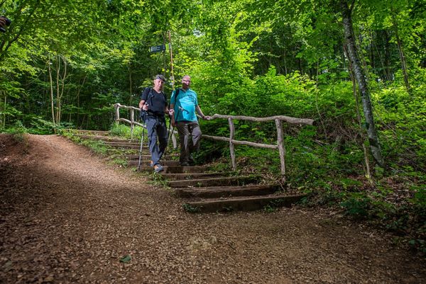
This short hiking route is also highly recommended for families with children.

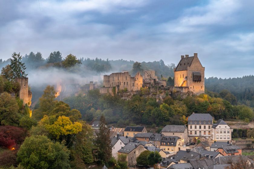
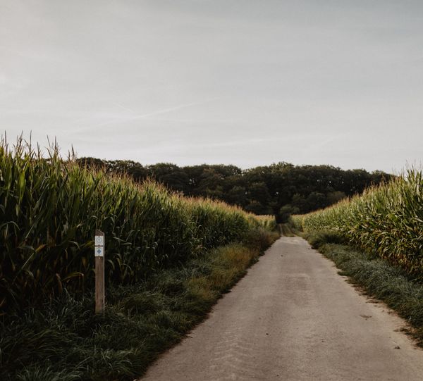
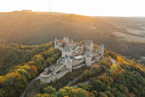
The start is at the Tourist Info, and the path leads via the Merscher Straße towards the castle, which is open for visits. From here you get a picturesque overview of the village Larochette. Then it goes, above Larochette, through the forest with some rock formations, towards the youth hostel. The path leads back to the town hall via Osterbourstraße.

The castle is open daily from March 15 to October 31, from 9 am to 6 pm.

Suggestions nearby

Local hiking trail - L1

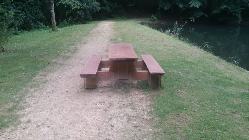
  • Picnic area Ousterbour Larochette
    Picnic area Ousterbour Larochette
    Find out more
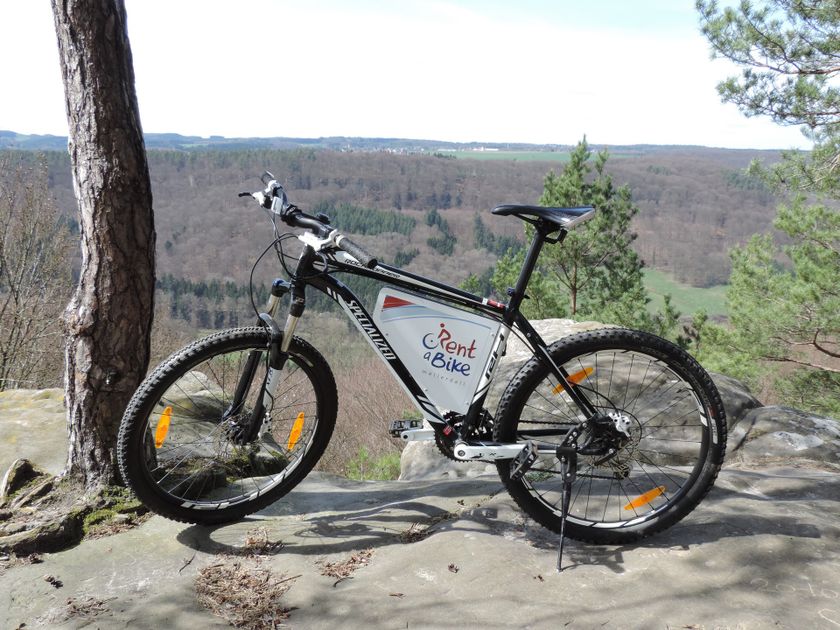
  • ©Rentabike Mëllerdall CIG
    30%
    with theLuxembourgPass
    RentaBike Mëllerdall - Youth Hostel Larochette
    Explore the Mullerthal – Luxembourg’s Little Switzerland – by bike, using the regional bicycle hire scheme, RentaBike Mëllerdall.
    Find out more
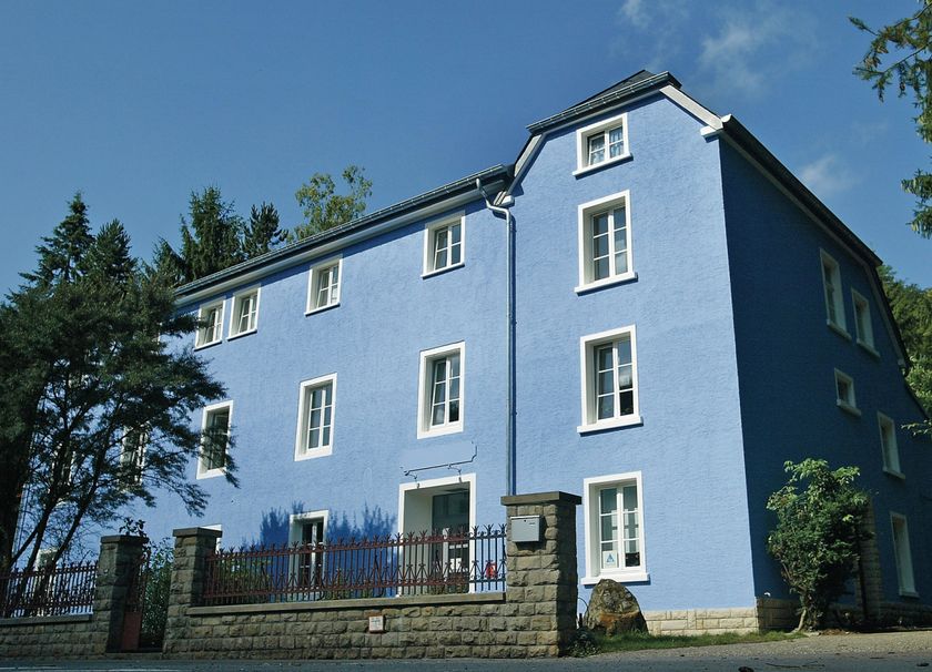
  • ©Youth hostel Larochette
    Youth hostel Larochette
    Garden / ParkParkingSituated in the centre of townWifiRestaurantBicycle rental
  • Picnic area Castle Larochette
    Picnic area Castle Larochette
    Find out more
  • ©Marco Kany
    free
    with theLuxembourgPass
    Larochette Castle
    Immerse yourself in the medieval history of Larochette Castle.
    Find out more

Similar hiking tours

©Visit Luxembourg
Circular routes
Local hiking trail GM4 - Pärdsmaart
Distance: 4,62 km
Duration: 1:30 h
Difficulty: easy
Find out more
©Administration des Eaux et Forêts / LFT
Local hiking trail Esch: Sentier Pierre Wies trail – 8.5km
Distance: 10,60 km
Duration: 2:55 h
Difficulty: easy
Find out more
©ORT Sud
Circular routes
Natura 2000 nature trail - Loop B: “The exploitation of iron ore lands, past and present” – 4.5 km
Distance: 4,88 km
Duration: 1:15 h
Difficulty: easy
Find out more
©Pulsa Pictures, Pulsa Pictures ORT Sud
Local hiking trail Esch: Réimerwee - 4 km
Distance: 4,42 km
Duration: 1:15 h
Difficulty: easy
Find out more
©Visit Luxembourg
Circular routes
Auto-Pédestre Hiking Trail Büderscheid
Distance: 4,64 km
Duration: 1:20 h
Difficulty: easy
Find out more
©Luxembourg for Tourism
Circular routes
Auto-Pédestre Bourscheid route
Distance: 5,88 km
Duration: 2:05 h
Difficulty: easy
Find out more
©ORT Sud
Circular routes
Local hiking route "Parc Le'h" - children’s route
Distance: 1,46 km
Duration: 0:25 h
Difficulty: easy
Find out more
©Visit Luxembourg
Circular routes
Auto-Pédestre Hiking Route Eschweiler
Distance: 7,05 km
Duration: 1:55 h
Difficulty: easy
Find out more
©Visit Luxembourg
Circular routes
Auto-Pédestre Hiking Trail Surré
Distance: 6,21 km
Duration: 1:45 h
Difficulty: easy
Find out more
outdooractive This website uses technology and content from the Outdooractive Platform.