Hunting Season 2025/26 — Check for hunts

Autumn is here, and that means hunting season has begun! From mid-October to January/February, hunters are active across the country. Stay safe by checking hunt dates in your area on our Map. 

Click on Map in the Header > Services > More > Hunting.

Starting point

Pavilion Junglinster sports center on the N11

Destination

Pavilion Junglinster sports center on the N11

Distance
9,08 km
Duration
2:26 h
Difficulty
easy
  • Condition
Highest point
412 Hm
Lowest point
335 Hm
Aggregated Ascent
80 Hm
Aggregated Descent
80 Hm
Visit Luxembourg

Description

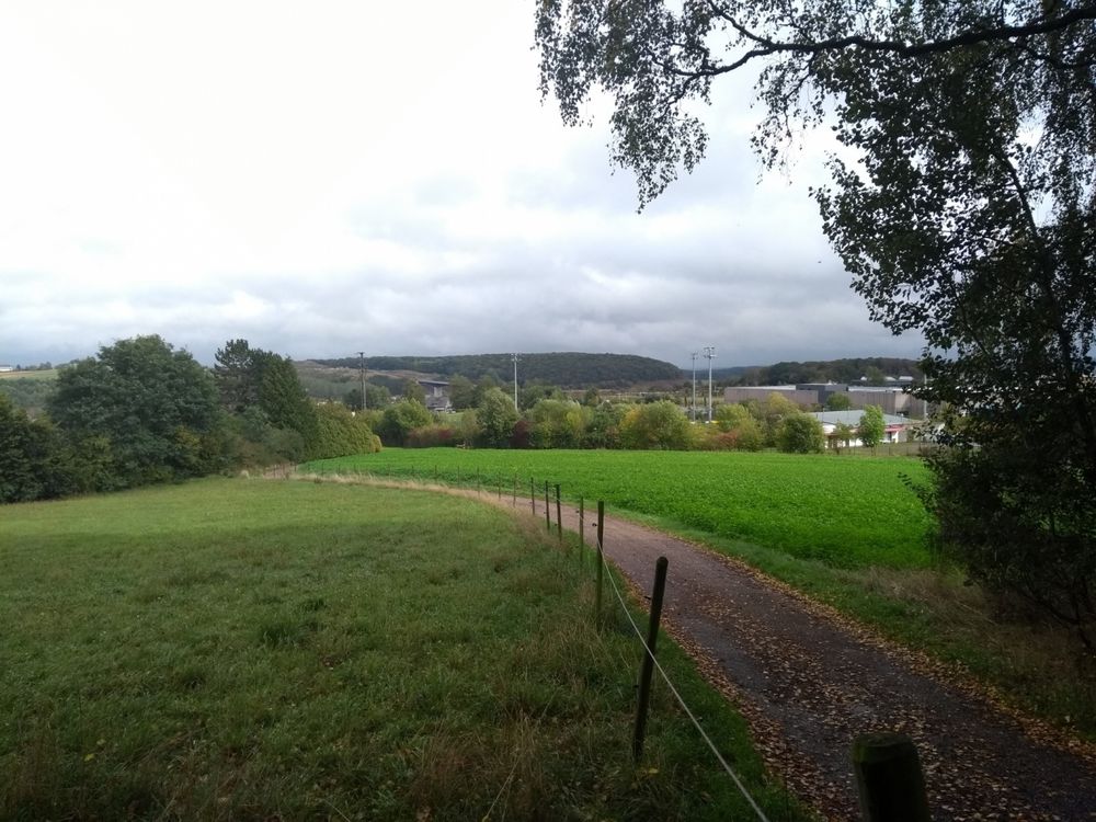
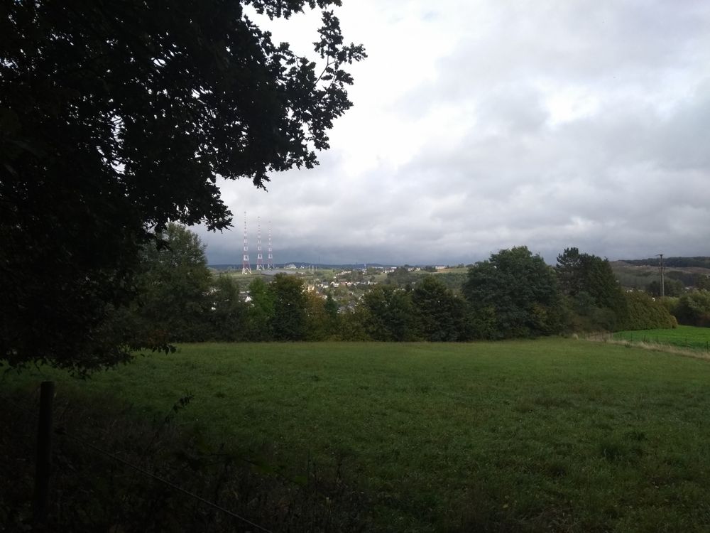
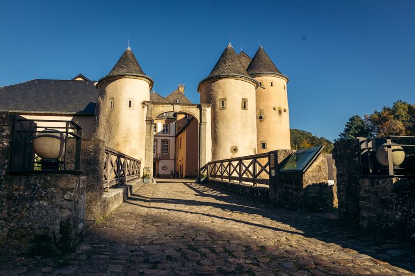
The Sentier du Plateau runs through the Bambësch forest south of Bourglinster and offers magnificent views of Bourglinster Castle.

-Sentier du Plateau-

The hiking trail Sentier du Plateau passes through the wooded area Bambësch south of Bourglinster and offers a beautiful view of Bourglinster castle. In every season, this varied trail offers different impressions. The whole plateau south and east of Bourglinster along which the trail passes is historic ground. Surface finds and excavations proofed that the area was already populated in the Paleolithic Age at the time of the Neanderthal man.

Start and arrival: Pavilion Junglinster sports center at the soccer field on the N11

Suggestions nearby

Local hiking trail - J6

  • ©Anne Lommel
    Bourglinster Castle
    Bourglinster Castle was built in the 12th century and acquired by the Luxembourg State in 1968, which carried out consolidation and restoration work until 1988.
    Find out more

Similar hiking tours

©Ville de Dudelange, Ville de Dudelange
Circular routes
Local hiking trail Dudelange - "Buerfousswee"
Distance: 0,64 km
Duration: 0:10 h
Difficulty: easy
Find out more
©Administration des Eaux et Forêts / LFT
Local hiking trail Esch: Sentier Pierre Wies trail – 8.5km
Distance: 10,60 km
Duration: 2:55 h
Difficulty: easy
Find out more
©KuFa
Circular routes
Nature walk Natura 2000 - Boucle C: "La succession végétale sur un ancien territoire minier" – 2,5 km
Distance: 2,68 km
Duration: 0:45 h
Difficulty: easy
Find out more
©ORT SUD
Circular routes
Local hiking trail Esch: Sentier Norbert Theis Trail – 7km
Distance: 7,98 km
Duration: 2:15 h
Difficulty: easy
Find out more
©Pulsa Pictures, ORT SUD
Circular routes
Local hiking trail Esch: Burgronn - 3 km
Distance: 2,97 km
Duration: 0:45 h
Difficulty: easy
Find out more
©Visit Luxembourg
Circular routes
Auto-Pédestre Tadler hiking trail
Distance: 4,57 km
Duration: 1:30 h
Difficulty: easy
Find out more
©Visit Luxembourg
Thematic paths
Naturentdeckungspfad Cactusbësch
Distance: 6,09 km
Duration: 1:50 h
Difficulty: easy
Find out more
©Visit Luxembourg
Thematic paths
With Robi through the forest
Distance: 2,82 km
Duration: 0:45 h
Difficulty: easy
Find out more
©Visit Luxembourg
Thematic paths
Honeybee educational trail between Waldbillig and Christnach
Distance: 4,00 km
Duration: 1:30 h
Difficulty: easy
Find out more
outdooractive This website uses technology and content from the Outdooractive Platform.