©Visit Luxembourg
Müllerthal Germany France

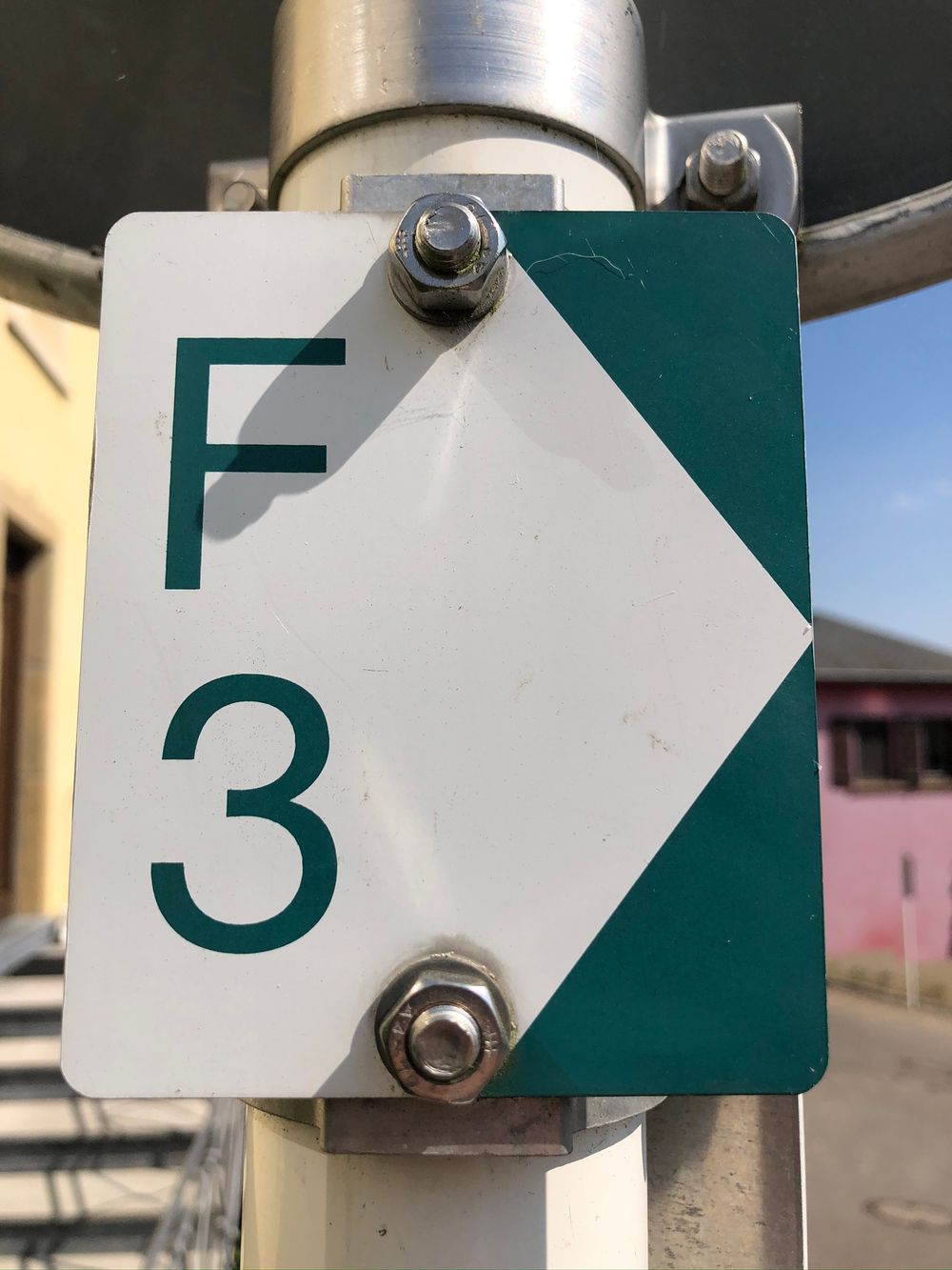
Local hiking trail - F3

Starting point

Schoos, Hannert de Gaarden

Destination

Schoos, Hannert de Gaarden

Distance
2,69 km
Difficulty
easy
  • Condition
Highest point
399 Hm
Lowest point
339 Hm
Aggregated Ascent
60 Hm
Aggregated Descent
63 Hm
Circular routes Visit Luxembourg

Description

Kids & Family Scenic Dog-friendly

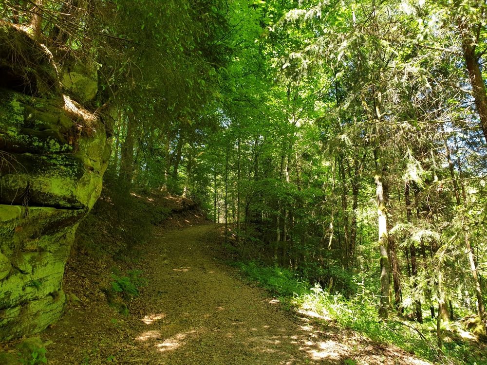
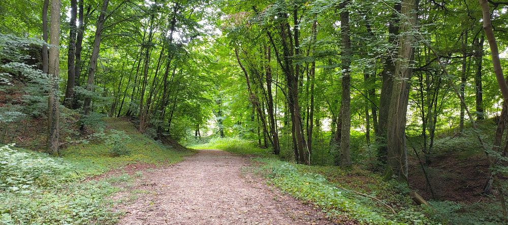
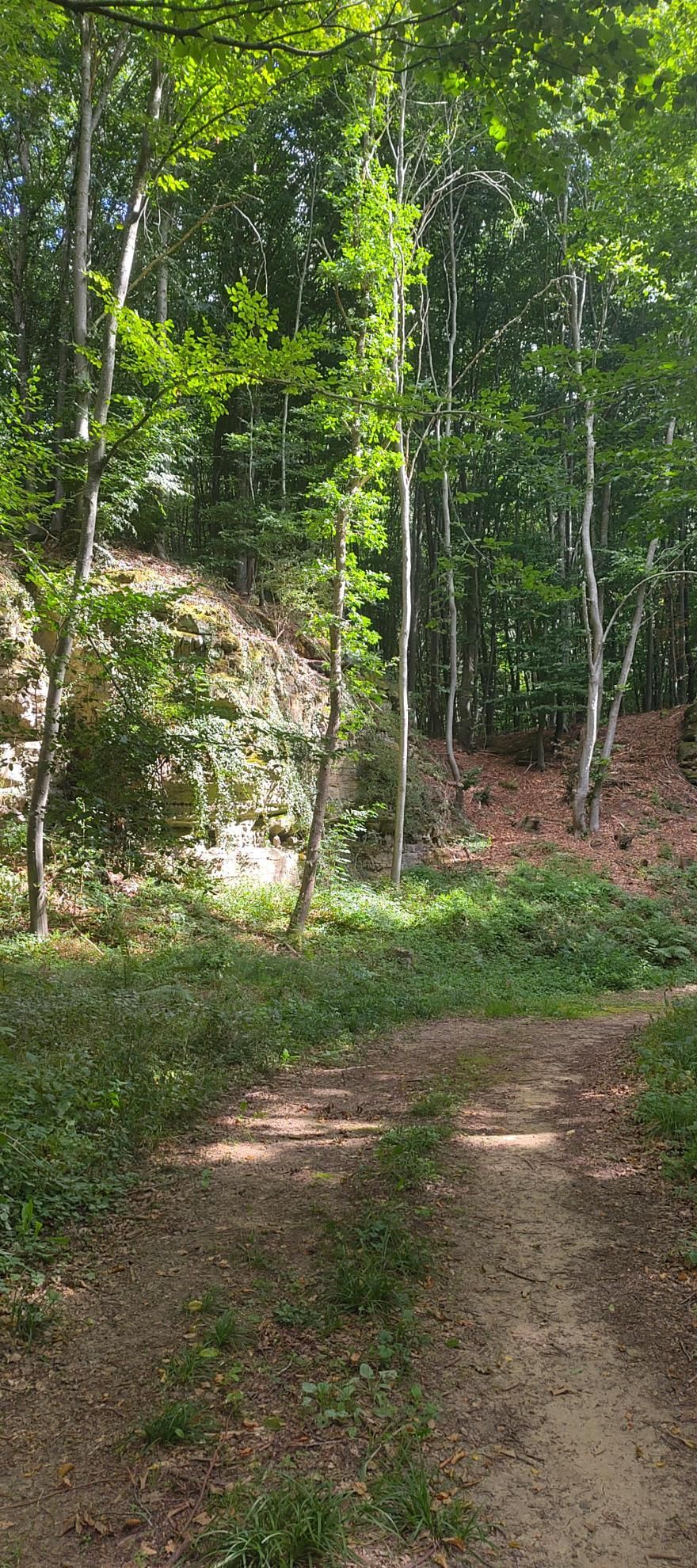
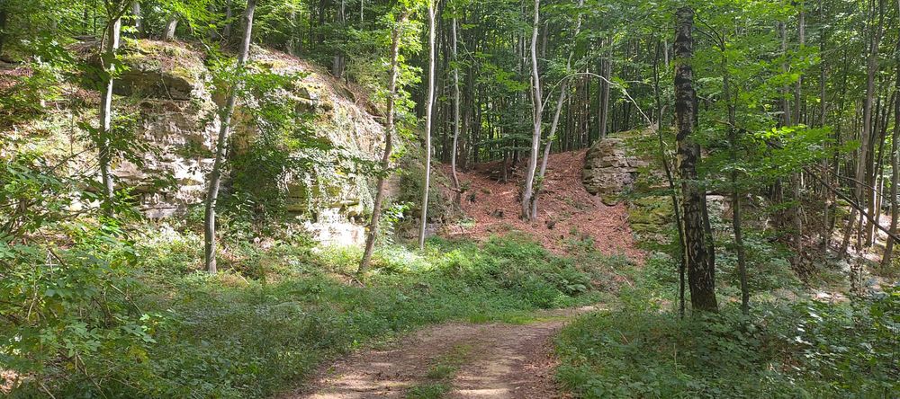
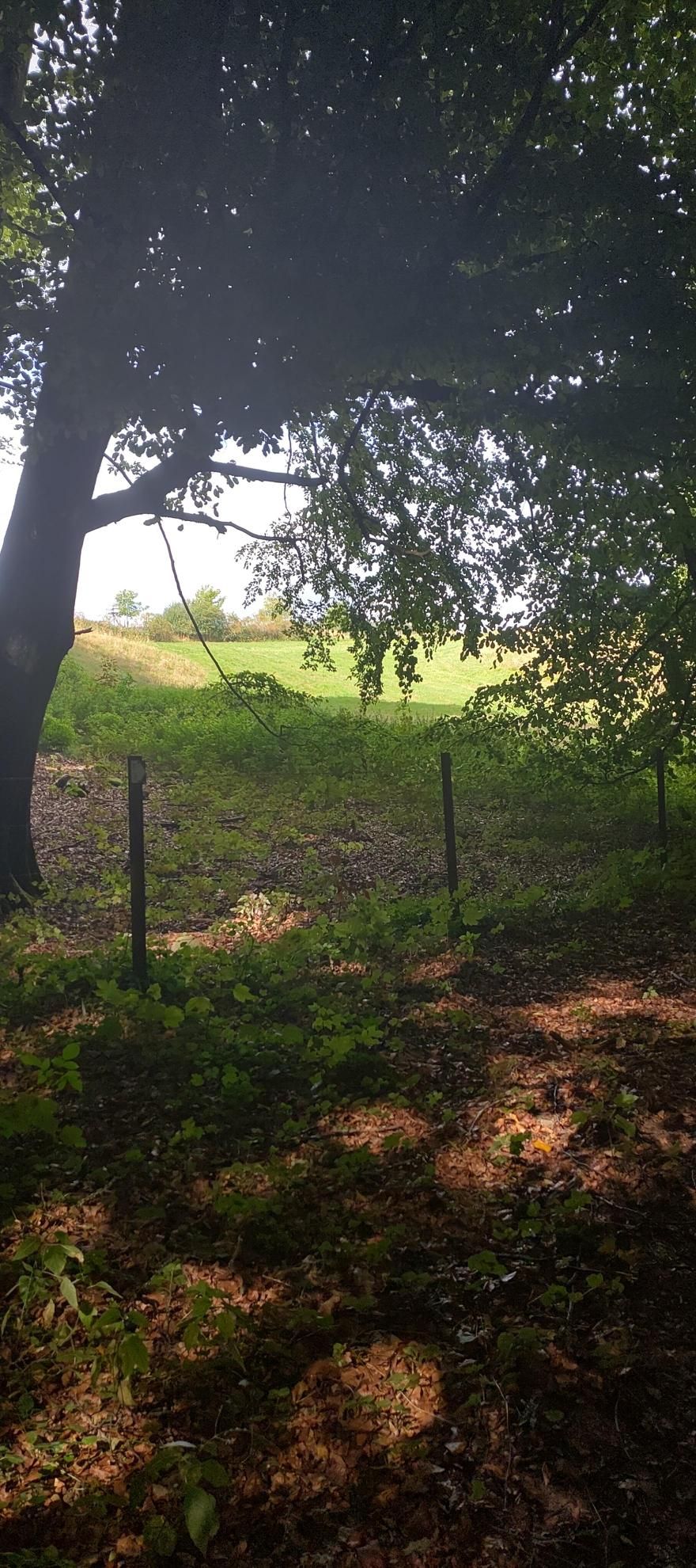
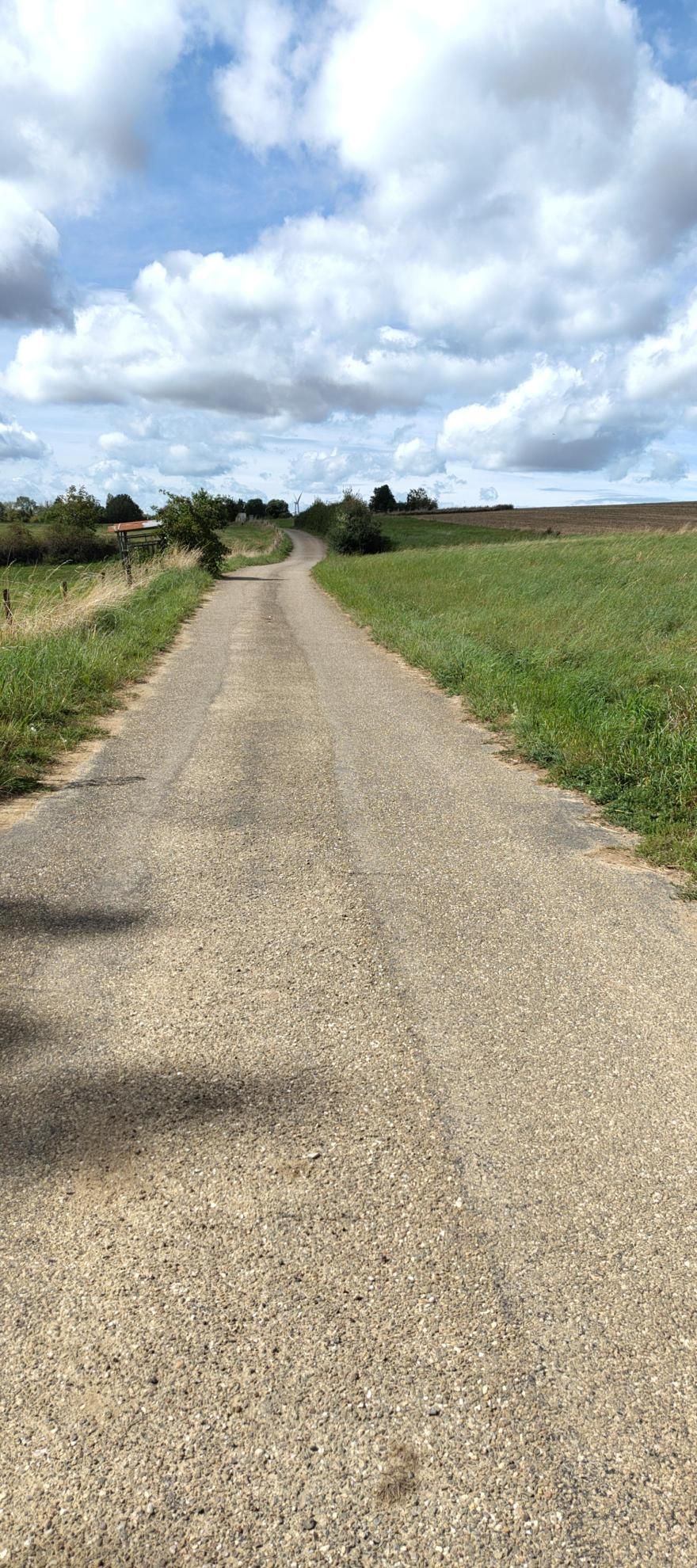
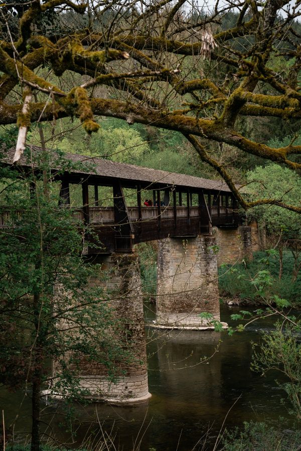
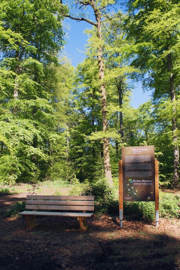
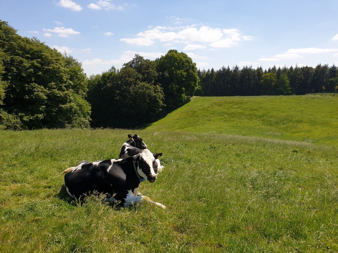
This short hike leads through the forest and across open meadows.

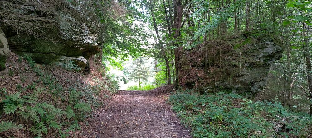
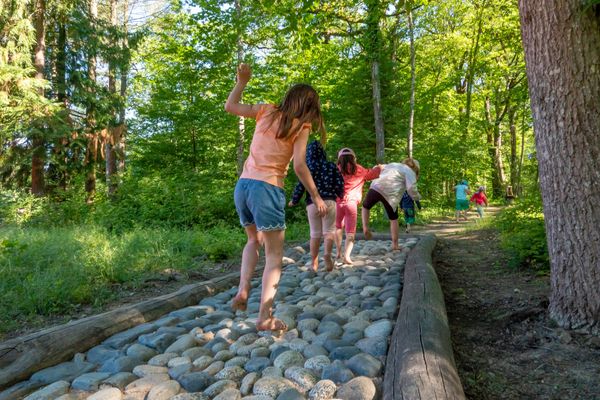
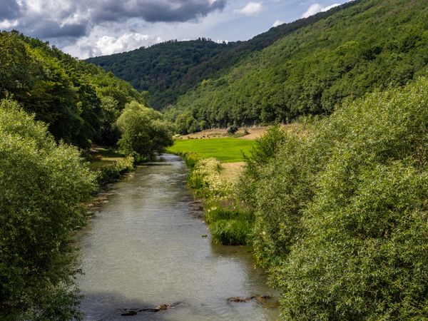
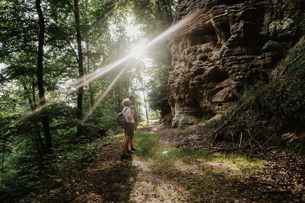
This hike initially leads down through the forest into the valley towards Fischbach. The descent runs along a wide path, lined with rocks. Once at the bottom, the path gently and windingly ascends again. Afterwards, it goes back to the starting point via an asphalted path over the hill.

Similar hiking tours

©Pancake!
Circular routes
Nature walk Natura 2000 - Boucle A: « L’homme et la forêt » – 5 km
Distance: 5,51 km
Duration: 1:30 h
Difficulty: easy
Find out more
©Pulsa Pictures, Pulsa Pictures ORT Sud
Local hiking trail Esch: Réimerwee - 4 km
Distance: 4,42 km
Duration: 1:15 h
Difficulty: easy
Find out more
©Visit Luxembourg
Circular routes
Auto-Pédestre Hiking Trail Büderscheid
Distance: 4,64 km
Duration: 1:20 h
Difficulty: easy
Find out more
©Luxembourg for Tourism
Circular routes
Auto-Pédestre Bourscheid route
Distance: 5,88 km
Duration: 2:05 h
Difficulty: easy
Find out more
©Dan Castiglia, Visit Éislek
Circular routes
Auto-Pédestre Hiking Trail Bürden
Distance: 4,62 km
Duration: 1:25 h
Difficulty: easy
Find out more
©ORT Sud
Circular routes
Local hiking route "Parc Le'h" - children’s route
Distance: 1,46 km
Duration: 0:25 h
Difficulty: easy
Find out more
©Visit Luxembourg
Circular routes
Auto-Pédestre Hiking Trail Surré
Distance: 6,21 km
Duration: 1:45 h
Difficulty: easy
Find out more
©Visit Luxembourg
Thematic paths
Honeybee educational trail between Waldbillig and Christnach
Distance: 4,00 km
Duration: 1:30 h
Difficulty: easy
Find out more
outdooractive This website uses technology and content from the Outdooractive Platform.