

Description
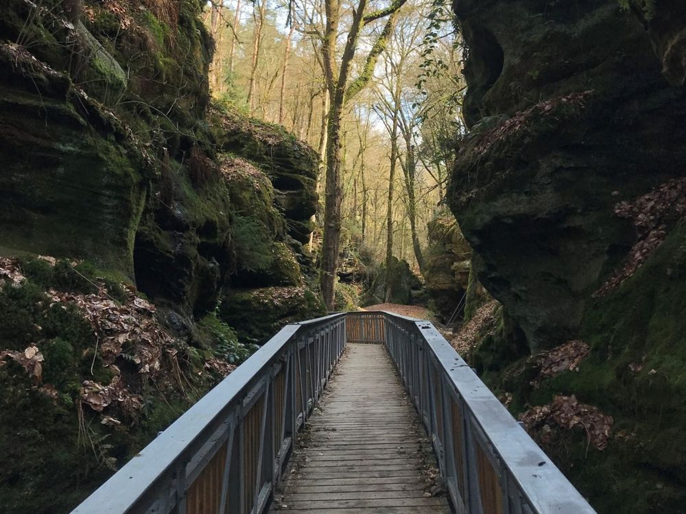
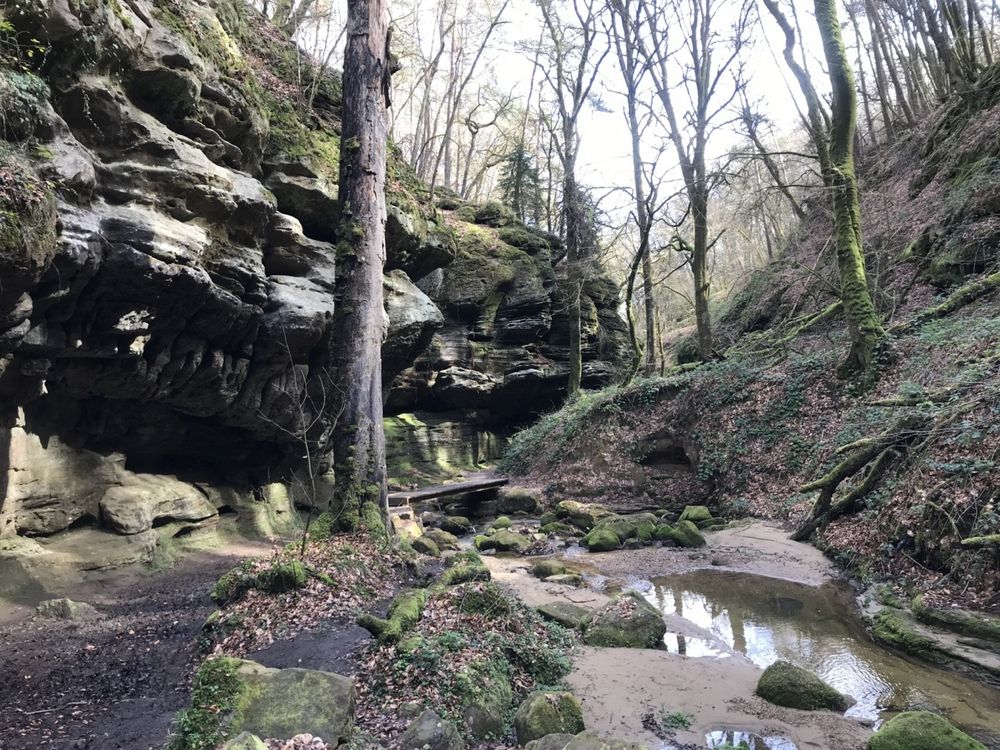
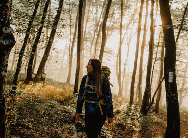
The route runs along a scenic path through forests and rocks in the area between Echternach and Berdorf. Highlights of the route are the Wollefsschlucht, the Huel Lee, the amphitheater, and the Aesbach valley.
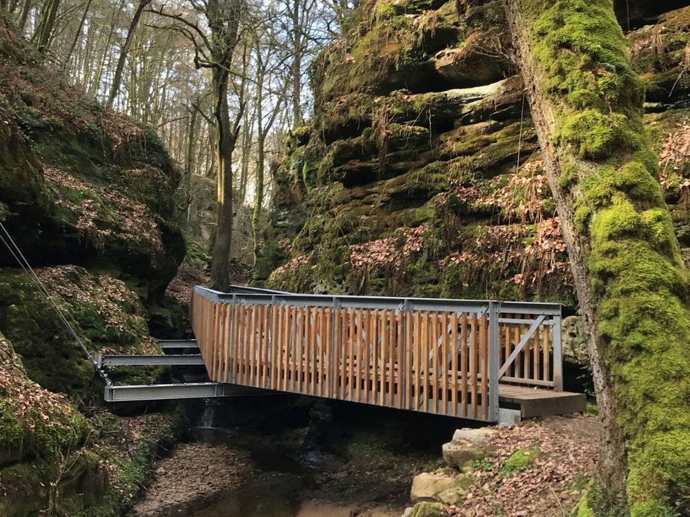
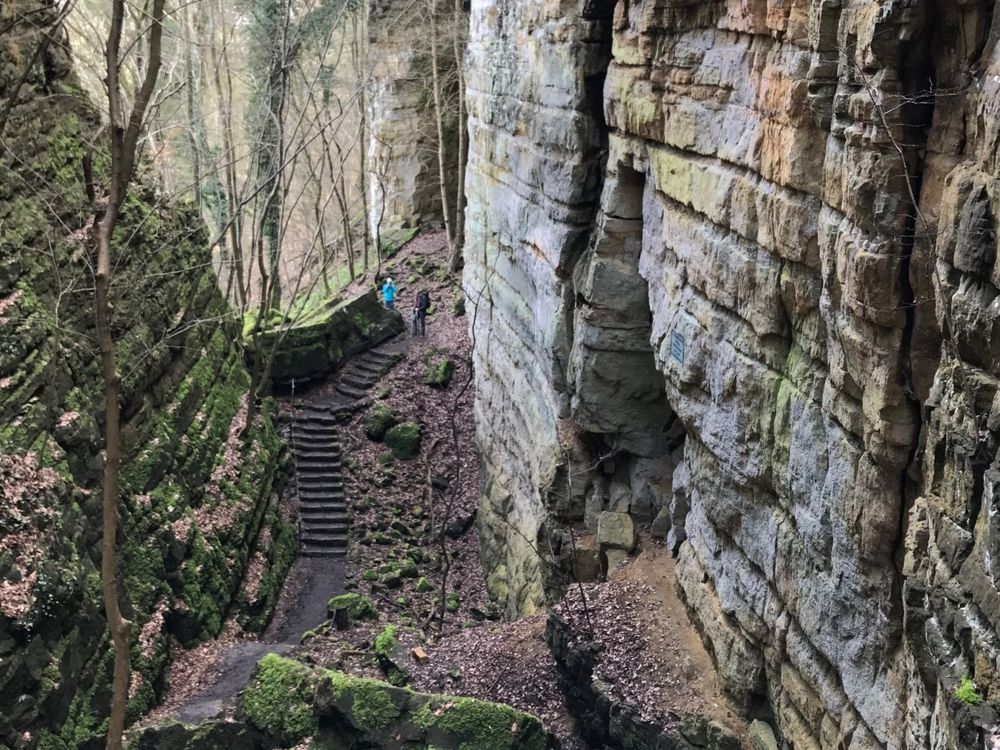
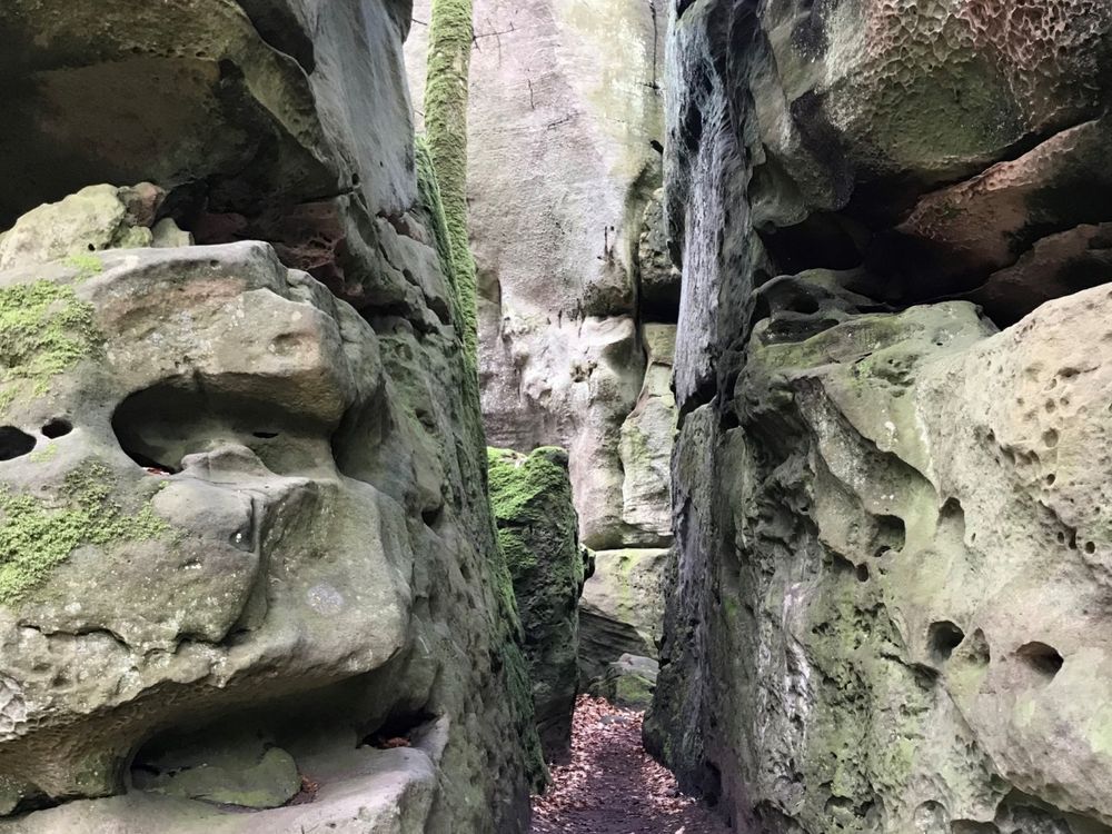
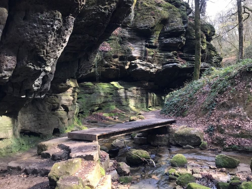
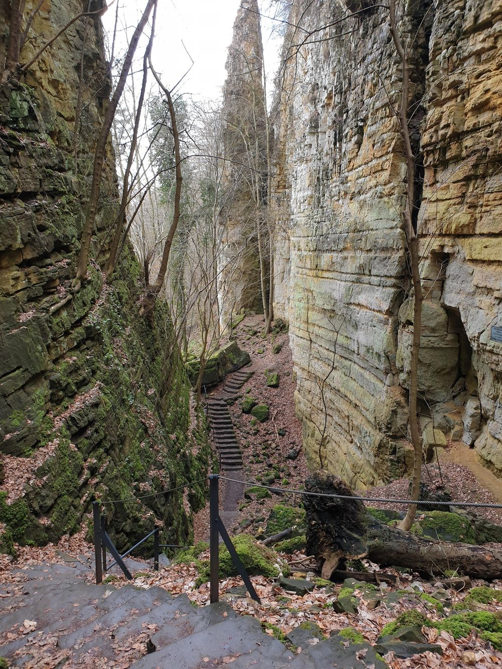
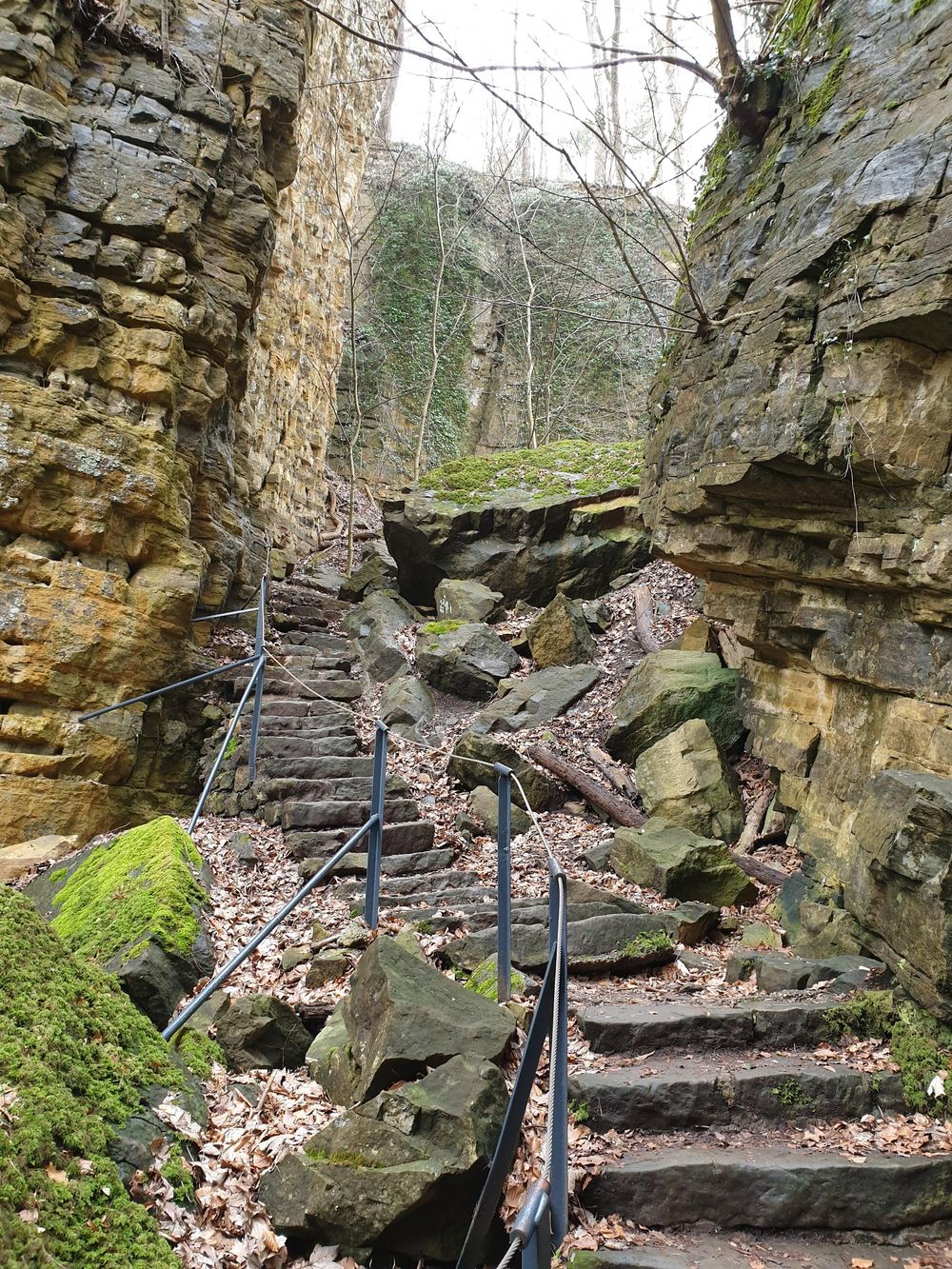
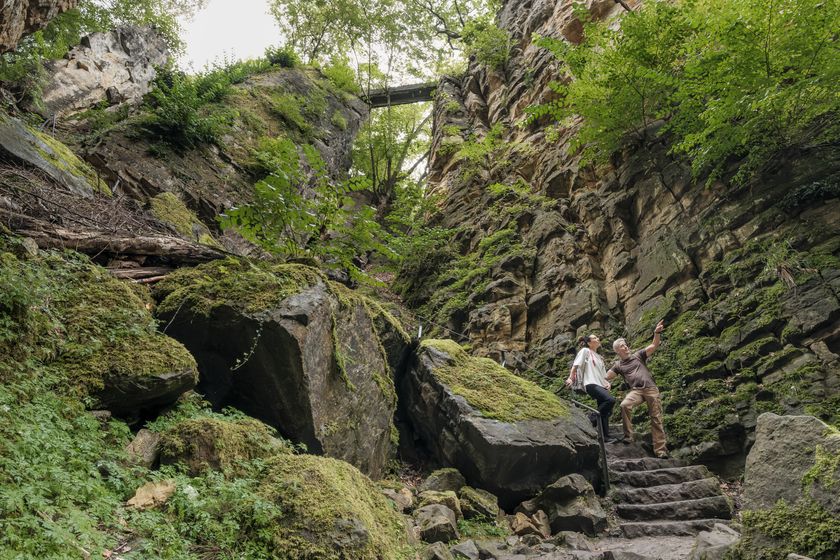
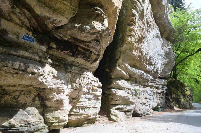
The Wolfsschlucht is a steep, smooth rock crevice through which the hiking trail winds.
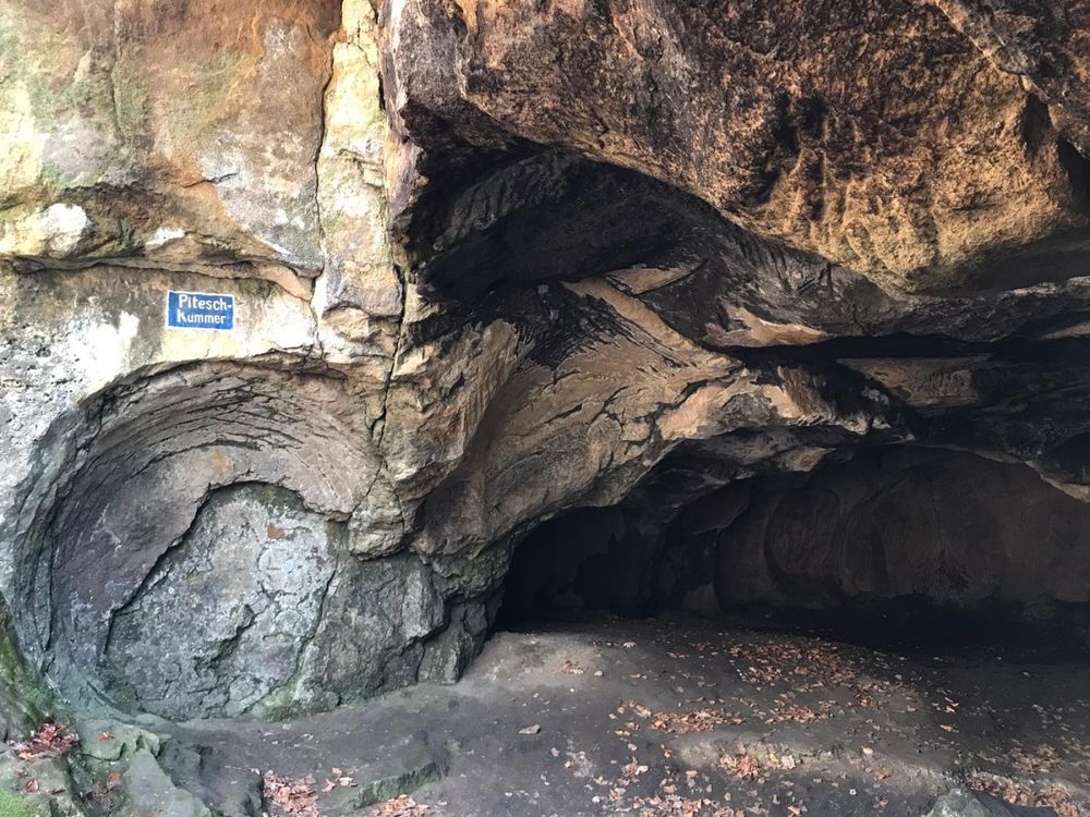
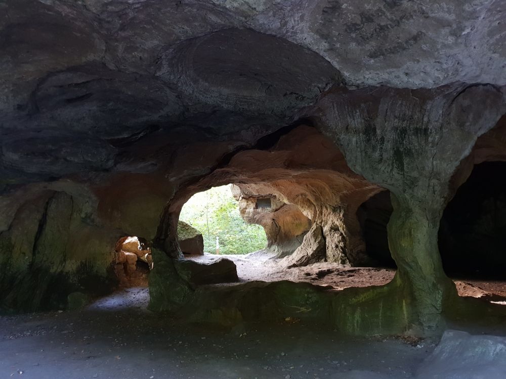
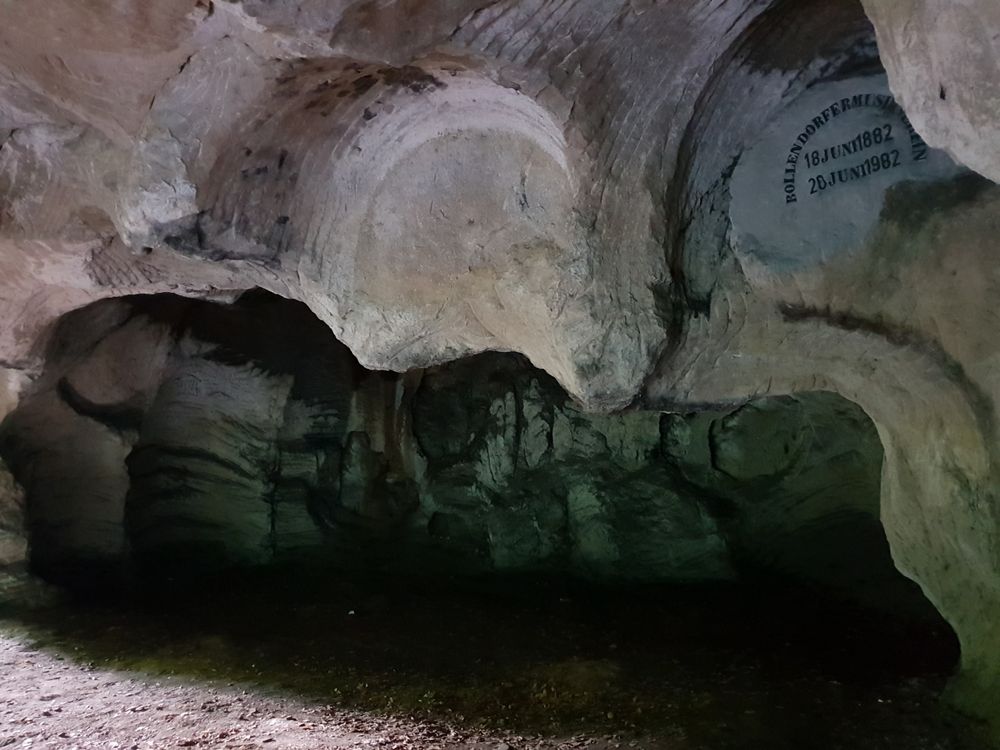
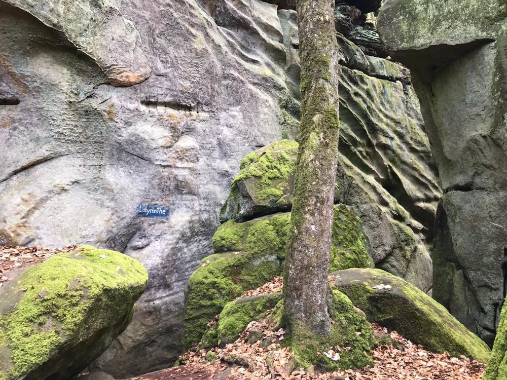
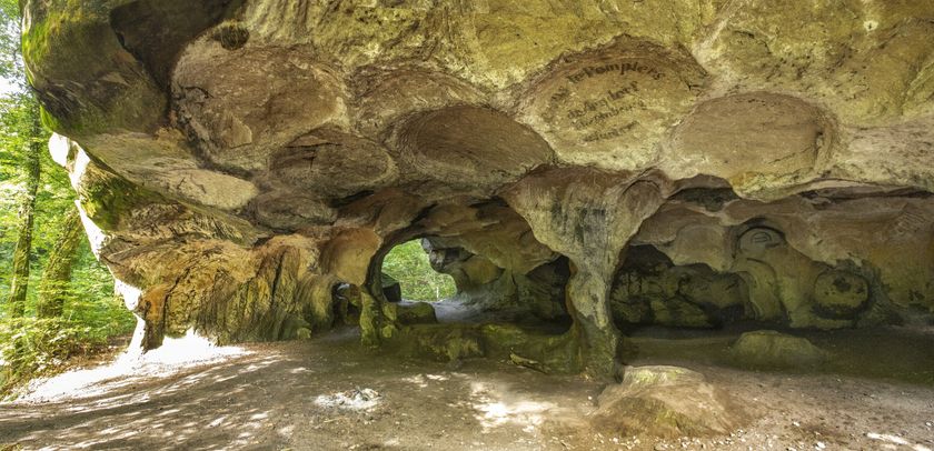
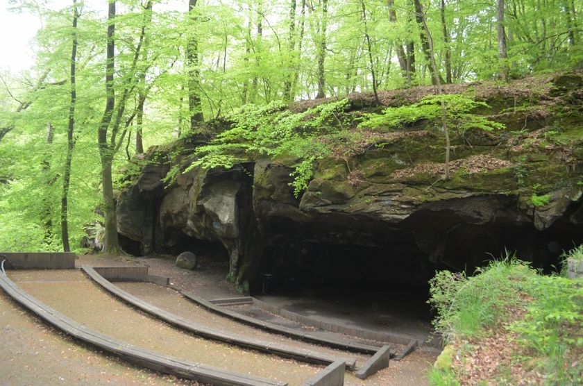
In the rock caves Huel Lee and Breechkaul (now amphitheater), millstones for the mills in the region were quarried from the Middle Ages until the 19th century. The traces are still visible today as distinct patterns in the rock.
The route is quite challenging (ascent from Echternach to the Berdorf plateau) and takes about 4 hours. Sturdy footwear is strongly recommended. However, partial sections (e.g., only Echternach – Berdorf or vice versa) can also be hiked. There are regular bus connections between Berdorf and Echternach.
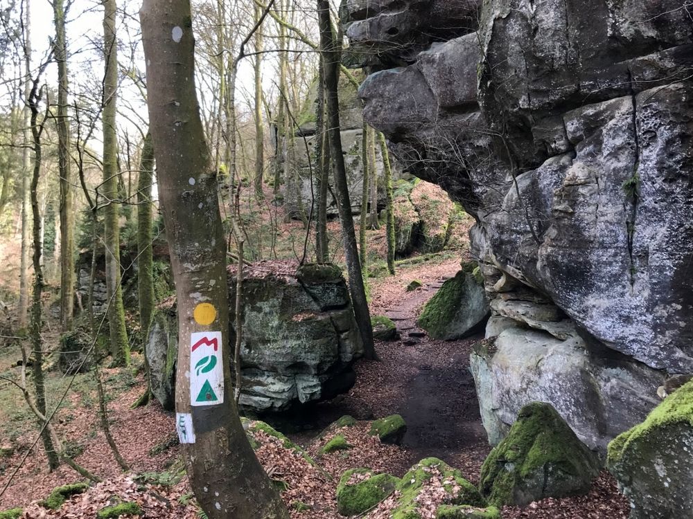
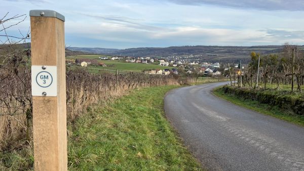
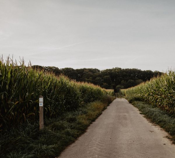
Signposting

Directions
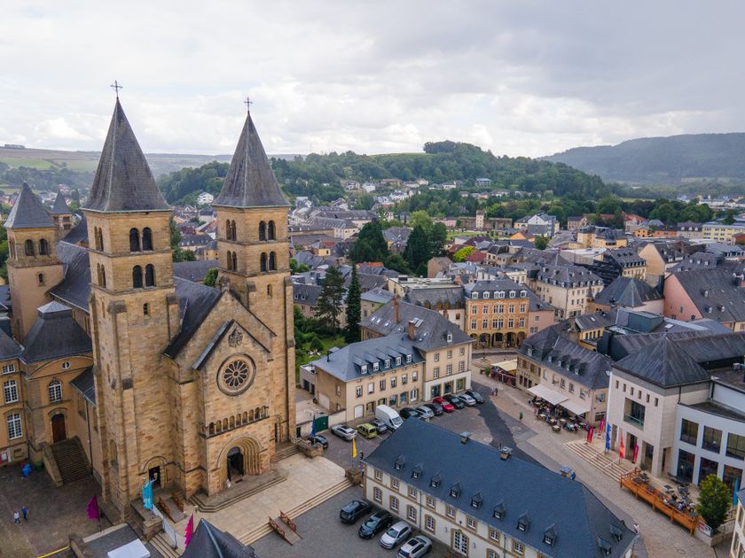
This demanding hike begins at the Basilica in the heart of Echternach.
The city of Echternach was founded in 698 by the Anglo-Saxon missionary Willibrord and is therefore the oldest city in Luxembourg. Buildings such as the Basilica, the Abbey, and the Orangery are impressive witnesses to the historic past. The marketplace invites you to stroll and linger with its shops and numerous restaurants and cafés. Further attractions include, for example, the museums, the Roman villa, and the Echternach lake.
The route first leads through the picturesque Halergaass, a pedestrian zone with shops and dining options.
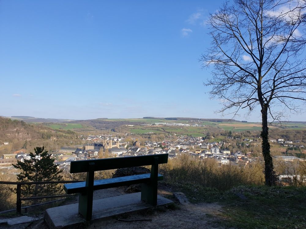
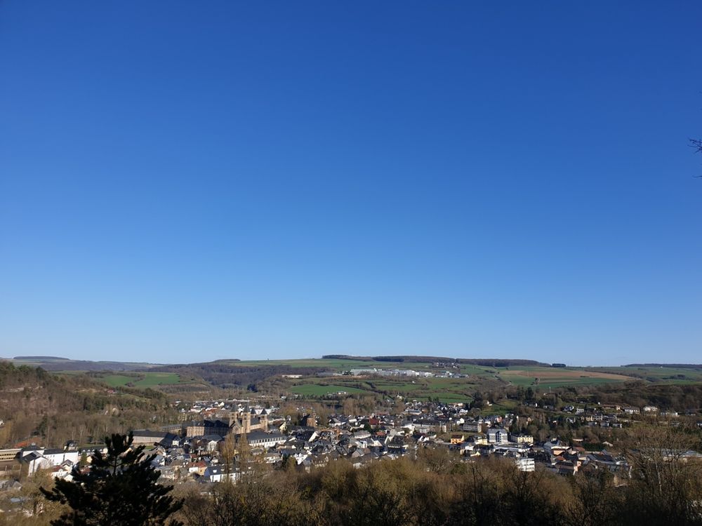
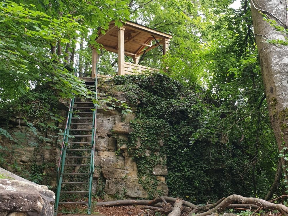
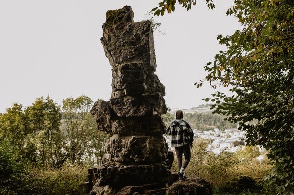
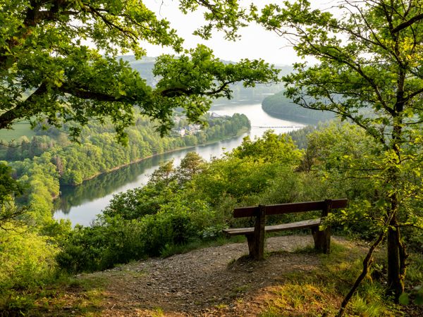
Then the path goes steeply uphill to the Trooskneppchen viewpoint with a picturesque view of Echternach. Shortly thereafter, the path passes the impressive Wollefsschlucht, where a detour up the rock “Paulsplatte” is worthwhile. Along a scenic forest trail, it continues through the Aesbach valley. After halfway, the Huel Lee cave and the amphitheater, which were formerly used as a millstone quarry, are reached. Passing other rock formations such as the Wëlkeschkummer and the Geierslee, the path leads back to Echternach.
For your safety
Risk of slipping when wet.
Equipment
The route is quite challenging. Sturdy footwear and sufficient water are necessary.
Journey
Nearest bus stop: Echternach, Lycée (500 m)
Parking:
Nearest parking: Parkplatz A Kack (Echternach), Parking Huel Lee (Berdorf)

 This website uses technology and content from the Outdooractive Platform.