Starting point

Rue de l'Eglise 6933 Mensdorf

Destination

Rue de l'Eglise 6933 Mensdorf

Distance
3,63 km
Difficulty
easy
  • Condition
Highest point
279 Hm
Lowest point
240 Hm
Aggregated Ascent
40 Hm
Aggregated Descent
40 Hm
Circular routes Visit Luxembourg

Description

Käschtewee

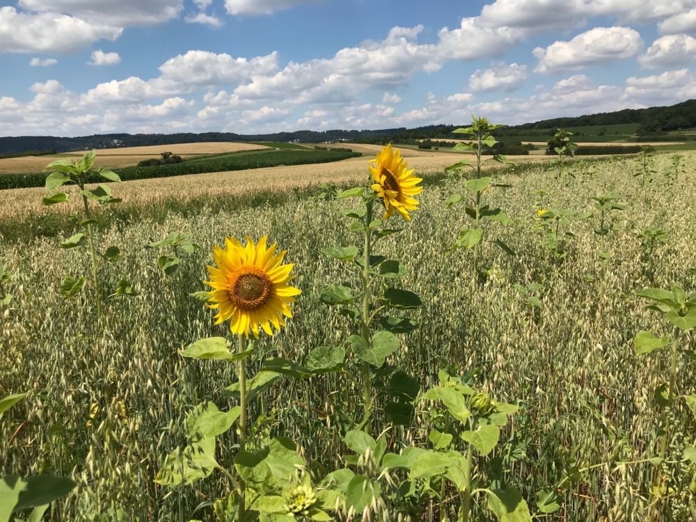
The "Käschtewee" (chestnut path) starts in the rue de l'Eglise in Mensdorf and leads along beautiful views into the forest. In the "Rankebësch", you will pass old cellars where beer, among other things, used to be cooled and stored.

Similar hiking tours

©Visit Luxembourg
Local hiking trail GM4 - Pärdsmaart
Distance: 4,62 km
Duration: 1:30 h
Difficulty: easy
Find out more
©Administration des Eaux et Forêts / LFT
Local hiking trail Esch: Sentier Pierre Wies trail – 8.5km
Distance: 10,60 km
Duration: 2:55 h
Difficulty: easy
Find out more
©ORT Sud
Circular routes
Natura 2000 nature trail - Loop B: “The exploitation of iron ore lands, past and present” – 4.5 km
Distance: 4,88 km
Duration: 1:15 h
Difficulty: easy
Find out more
©Pulsa Pictures, Pulsa Pictures ORT Sud
Local hiking trail Esch: Réimerwee - 4 km
Distance: 4,42 km
Duration: 1:15 h
Difficulty: easy
Find out more
©Visit Luxembourg
Circular routes
Auto-Pédestre Hiking Trail Büderscheid
Distance: 4,64 km
Duration: 1:20 h
Difficulty: easy
Find out more
©Luxembourg for Tourism
Circular routes
Auto-Pédestre Bourscheid route
Distance: 5,88 km
Duration: 2:05 h
Difficulty: easy
Find out more
©Dan Castiglia, Visit Éislek
Circular routes
Auto-Pédestre Hiking Trail Bürden
Distance: 4,62 km
Duration: 1:25 h
Difficulty: easy
Find out more
©ORT Sud
Circular routes
Local hiking route "Parc Le'h" - children’s route
Distance: 1,46 km
Duration: 0:25 h
Difficulty: easy
Find out more
©Visit Luxembourg
Circular routes
Auto-Pédestre Hiking Trail Surré
Distance: 6,21 km
Duration: 1:45 h
Difficulty: easy
Find out more
outdooractive This website uses technology and content from the Outdooractive Platform.