Description
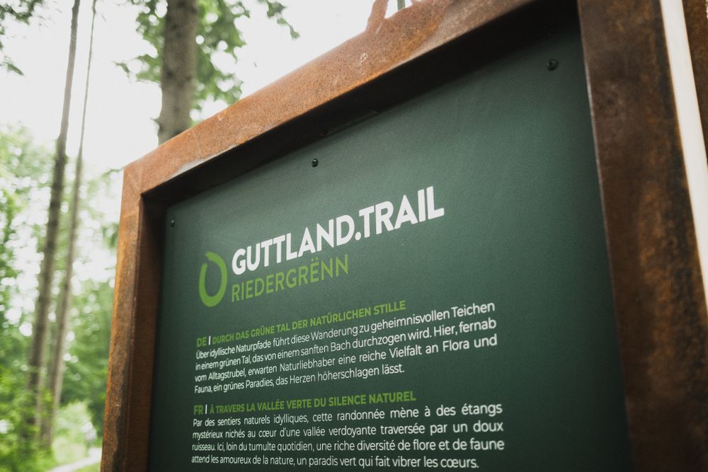
Through the green valley of natural silence called 'Riedergrënn'
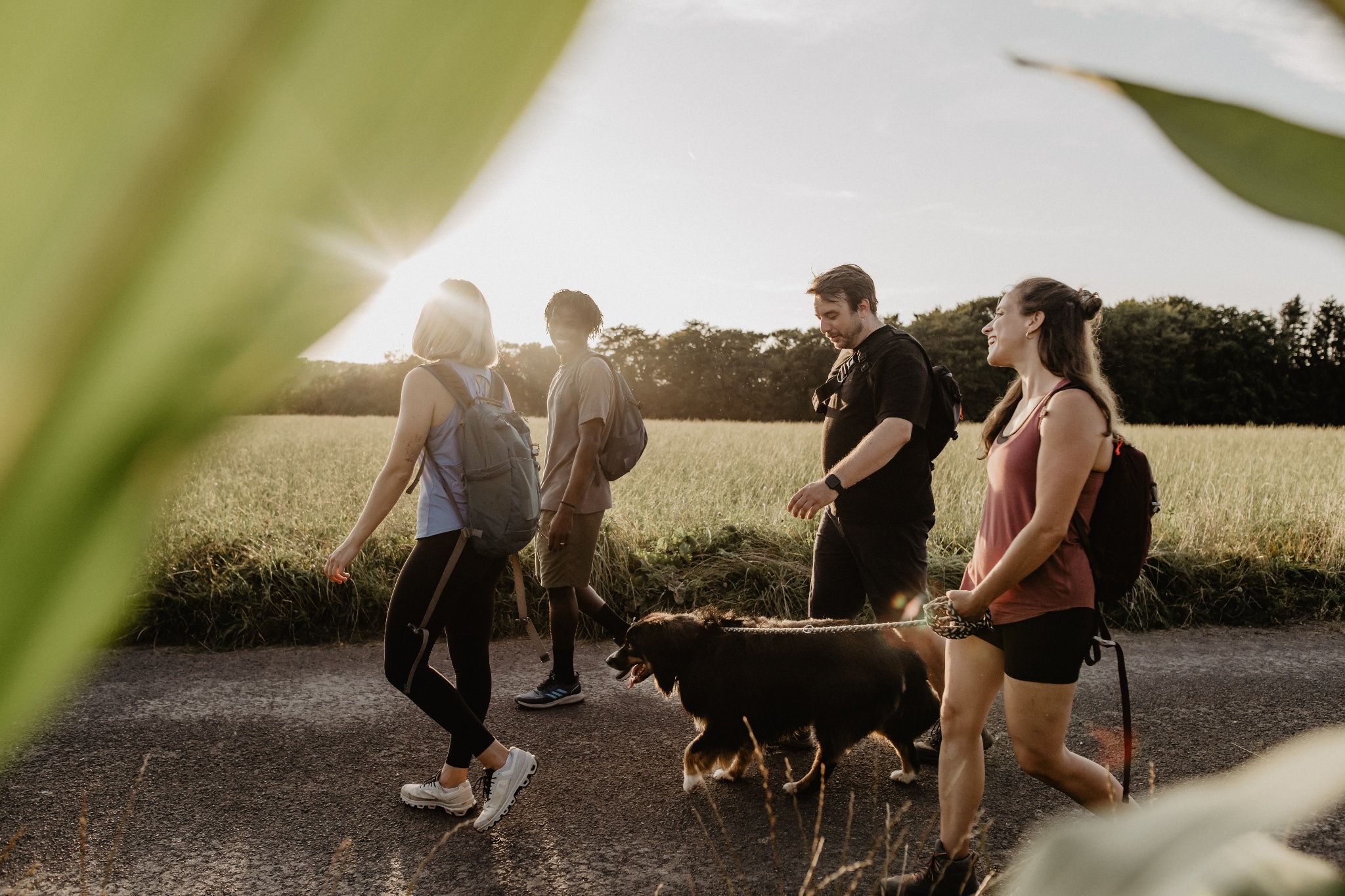
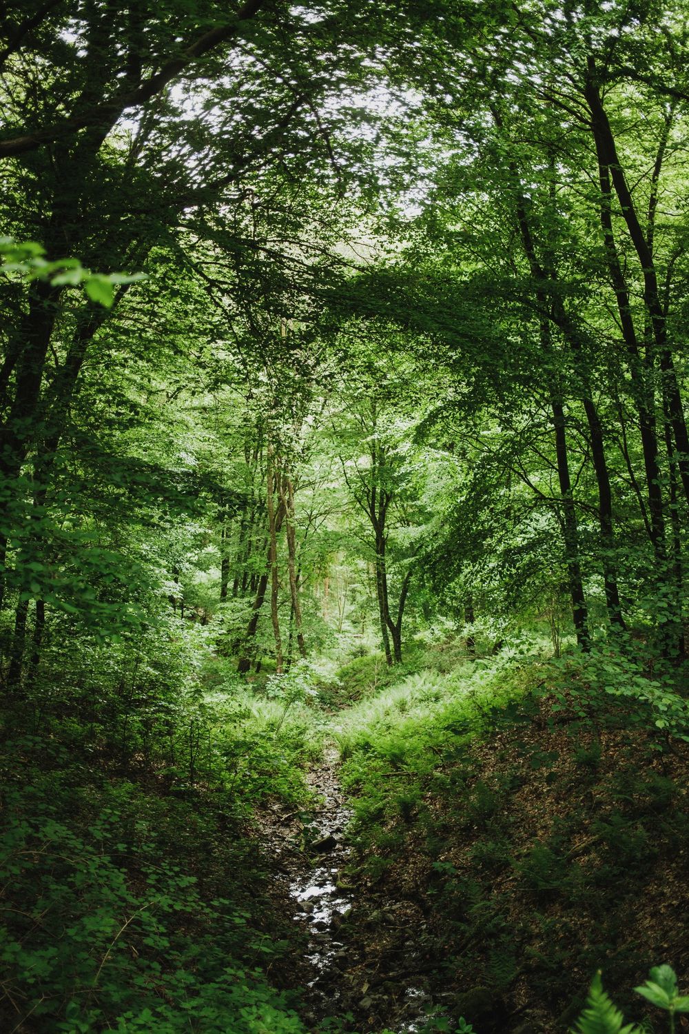
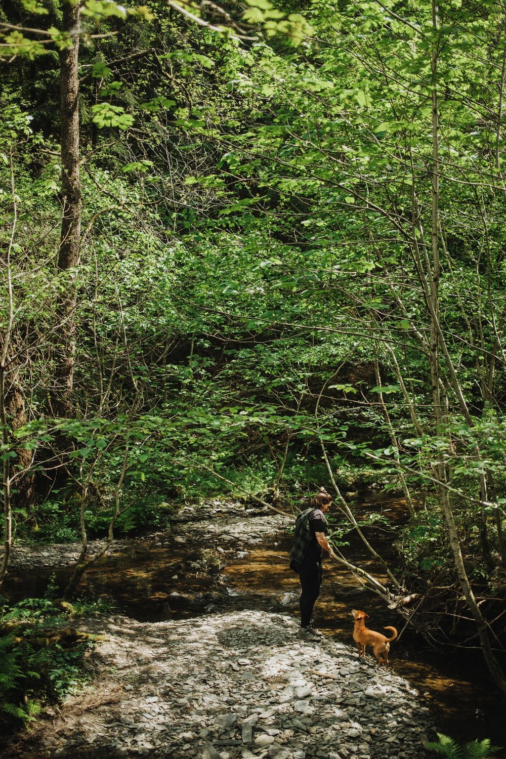
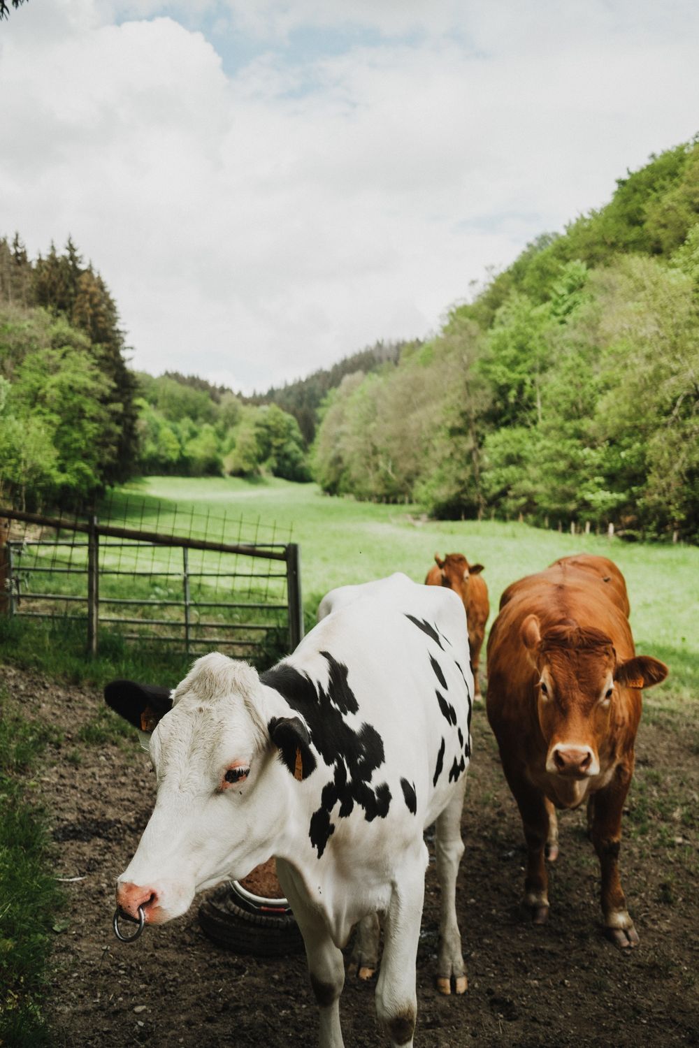
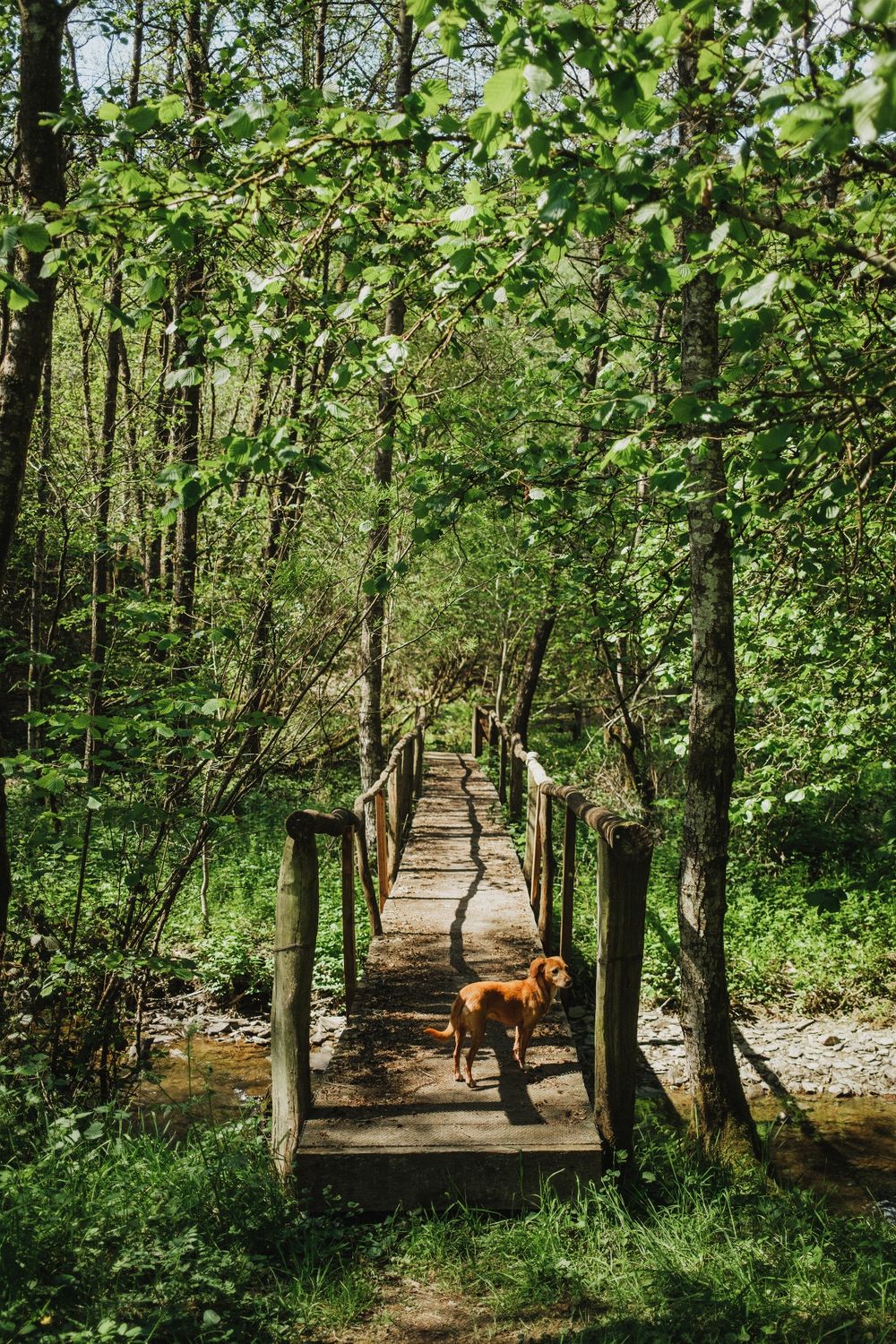
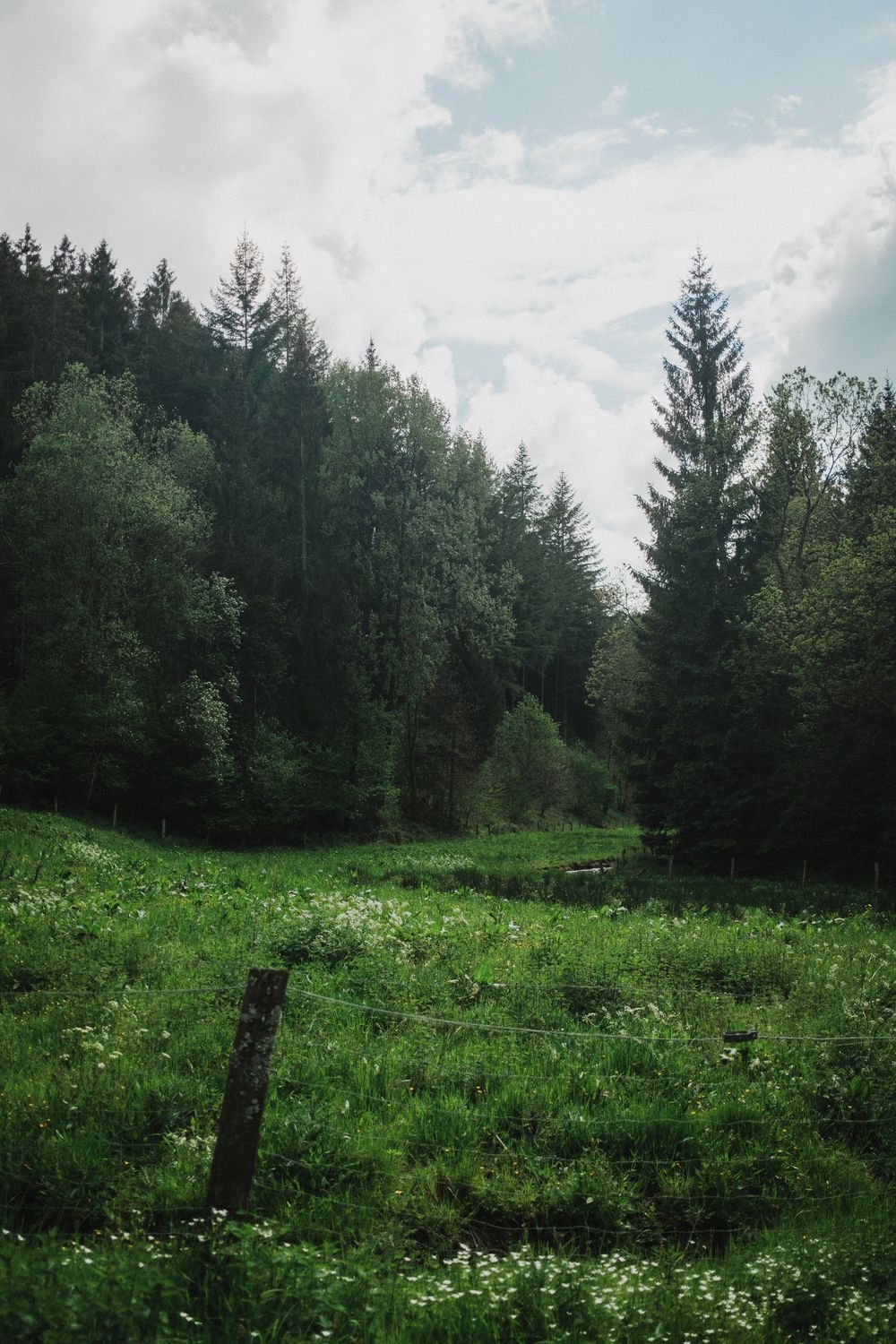
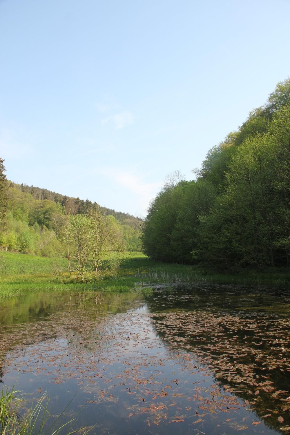
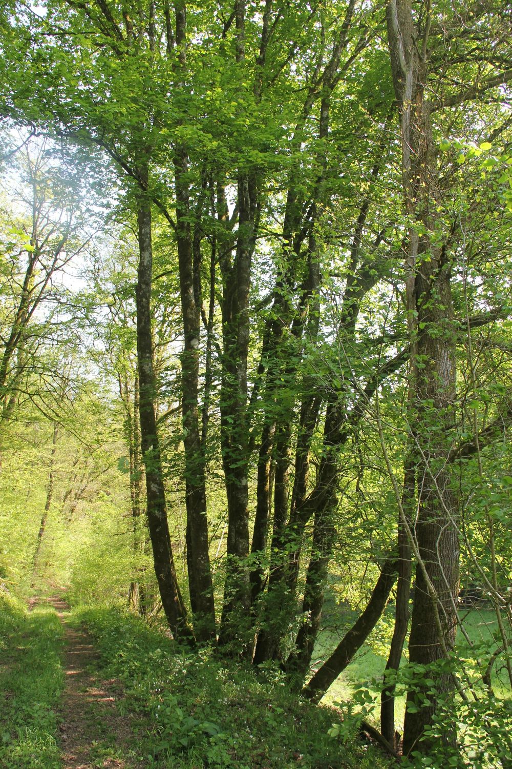
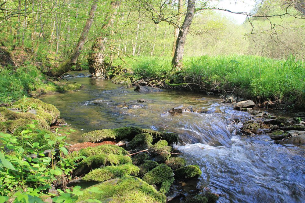
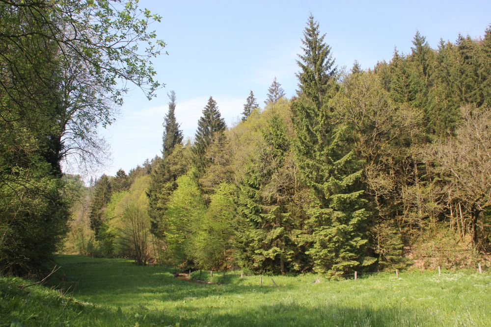
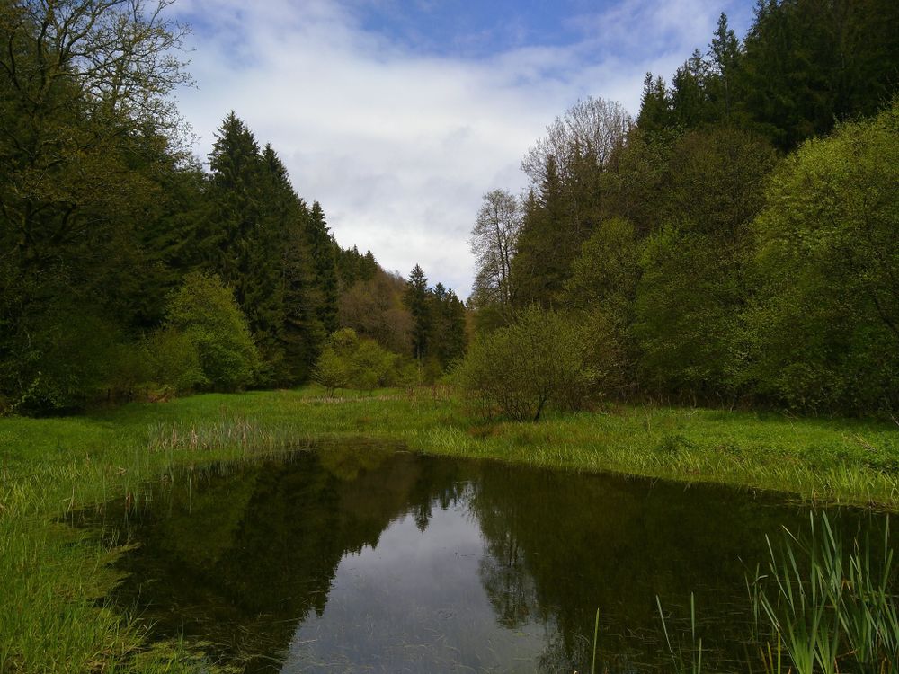
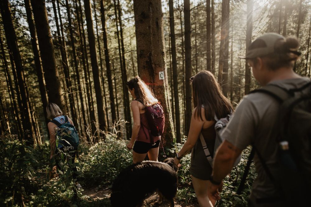
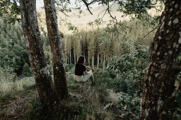
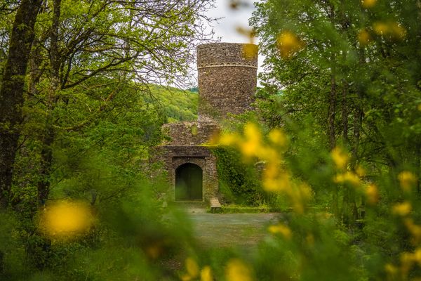
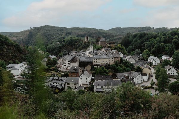
This hike leads over untouched nature trails to mysterious ponds in a green valley known by the name 'Riedergrënn'. A gentle stream, the 'Koulbich', winds through this idyllic area. 'Riedergrënn' roughly means 'the valleys of Roodt', the village from which the hike starts. Away from the everyday hustle and bustle, nestled in a Natura 2000 nature reserve, nature lovers can expect a rich variety of flora and fauna – a green paradise that makes hearts beat faster.
What makes this hiking route particularly fascinating is its geological diversity: It passes through two regions, the Guttland and the Eislék. Here, sandstone and slate rocks alternate, and thanks to the foothills of the Ardennes, the hike is gently hilly. This landscape variety and the untouched nature make the hike a unique experience for all nature lovers.
During the autumn months, a stop at Hahn’s pumpkin farm is especially worthwhile �� Located directly along the Guttland.Trail Riedergrënn, it welcomes visitors daily from 9:00 am to 7:00 pm to discover local products and enjoy the autumn atmosphere. More infos over here.
Directions
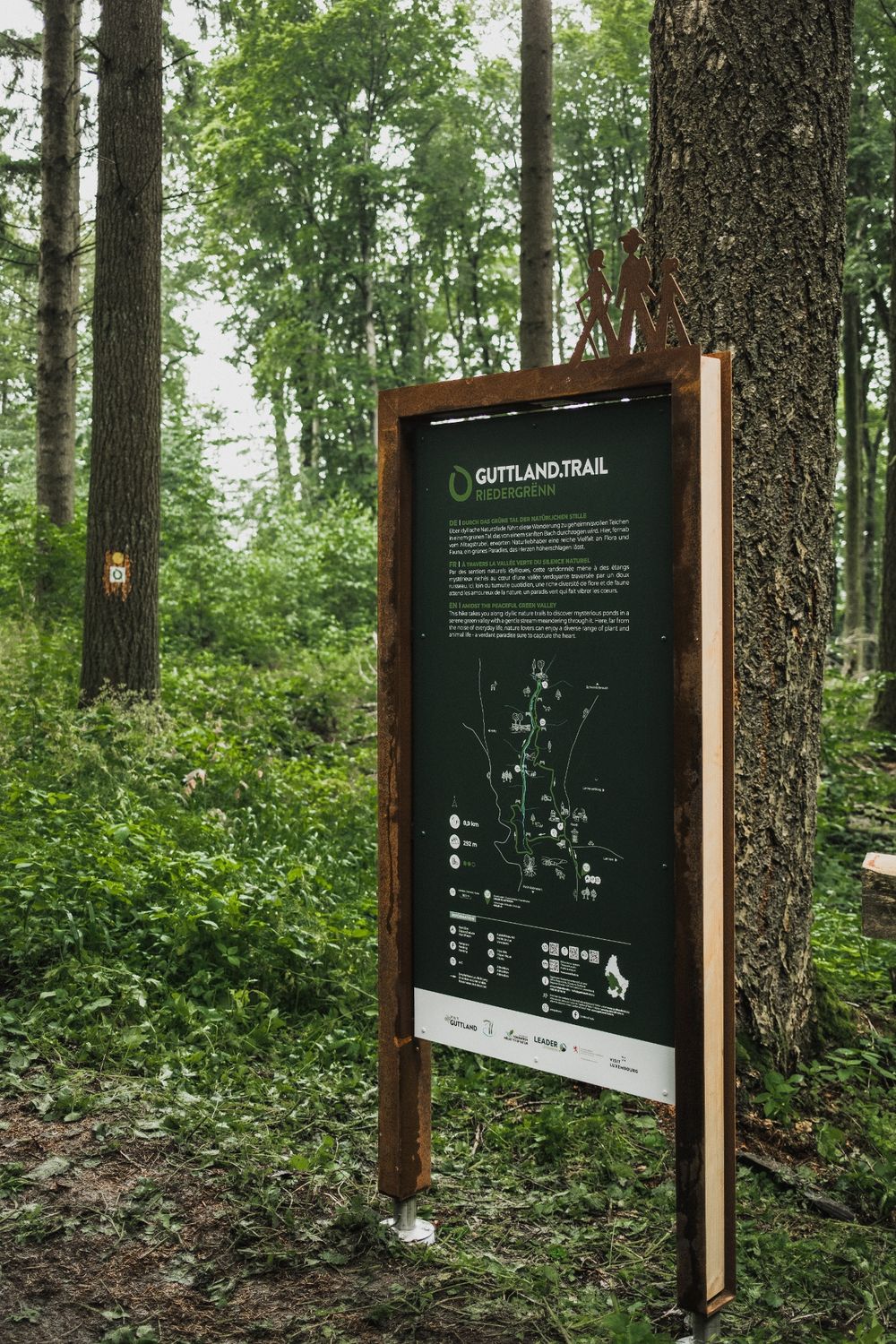
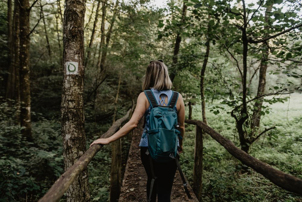
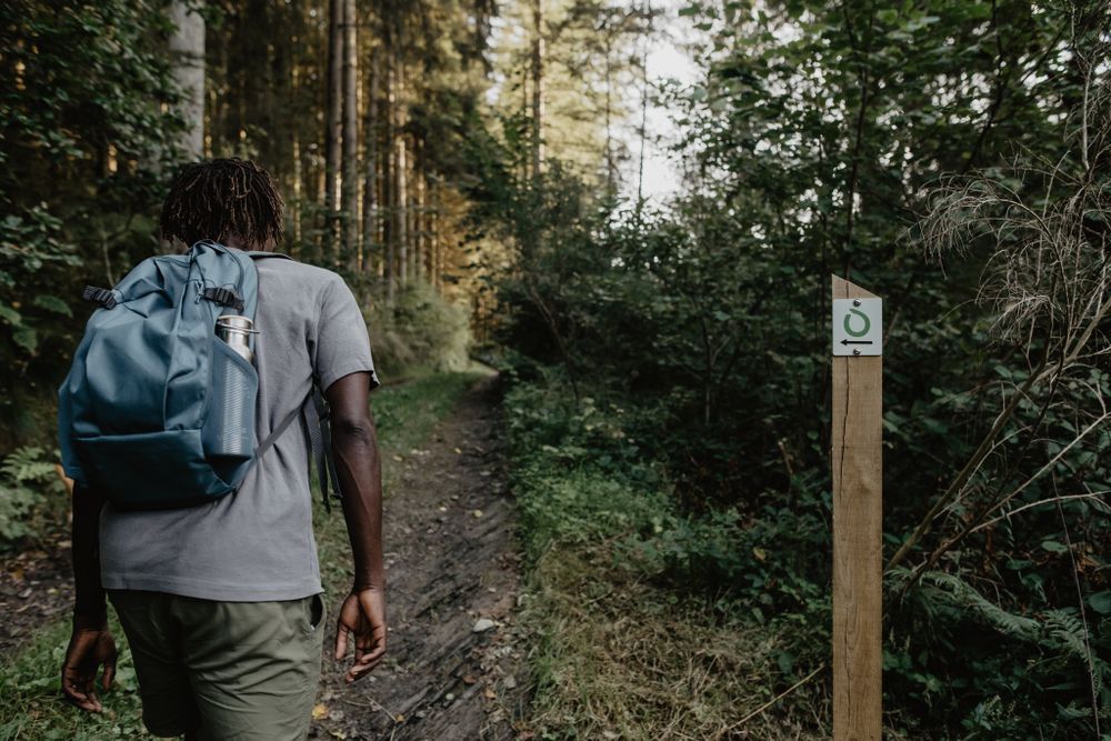
The hiking route is marked in both directions. Please follow the white-green marking signs.
For your safety
Weather conditions such as wetness, ice, and wind can make a route difficult. The information refers to optimal conditions.
Equipment
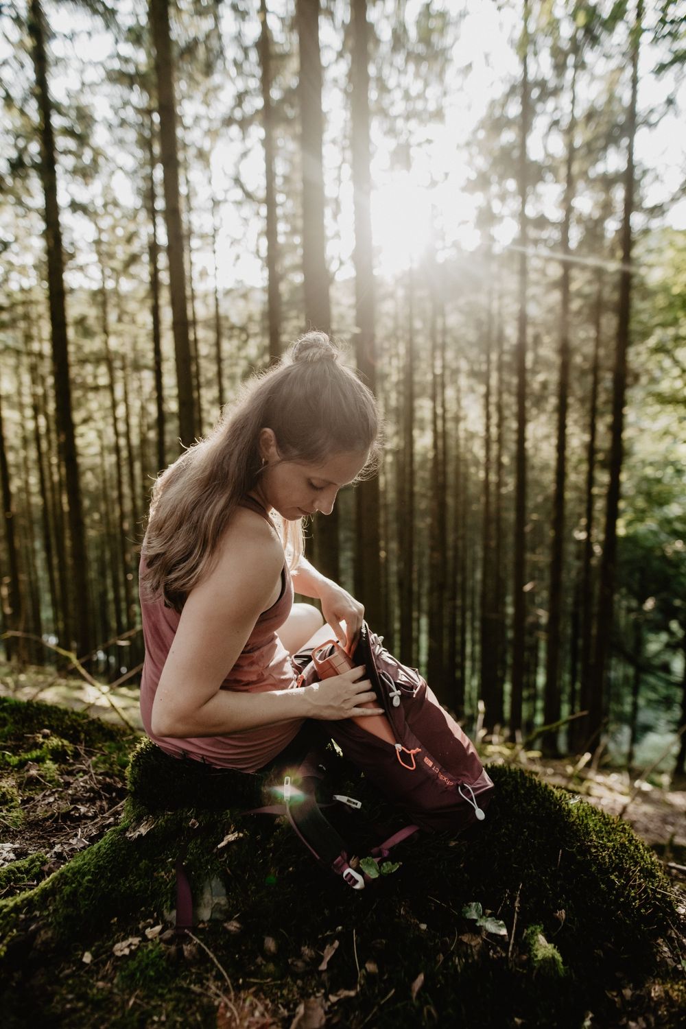
Sturdy footwear is recommended. Remember to bring enough drinking water.
Journey
Public transportation: Bus stop 'Roodt/Redange Schoul'.
Several bus lines. Visit the website www.mobiliteit.lu for schedules and detailed information.
Getting there:
Parking:
Free hiking parking lot at the start of the Guttland.Trails, located directly next to the forest cemetery.


 This website uses technology and content from the Outdooractive Platform.