Description
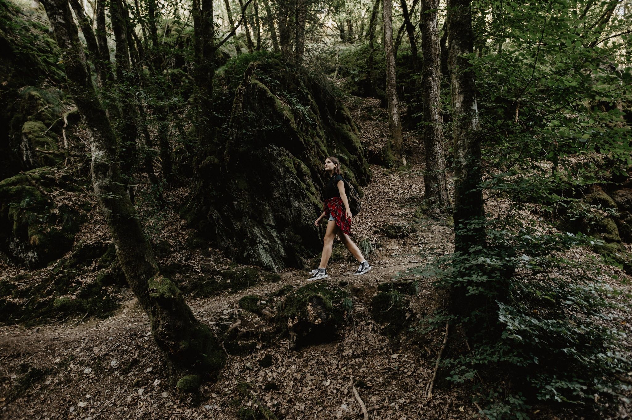
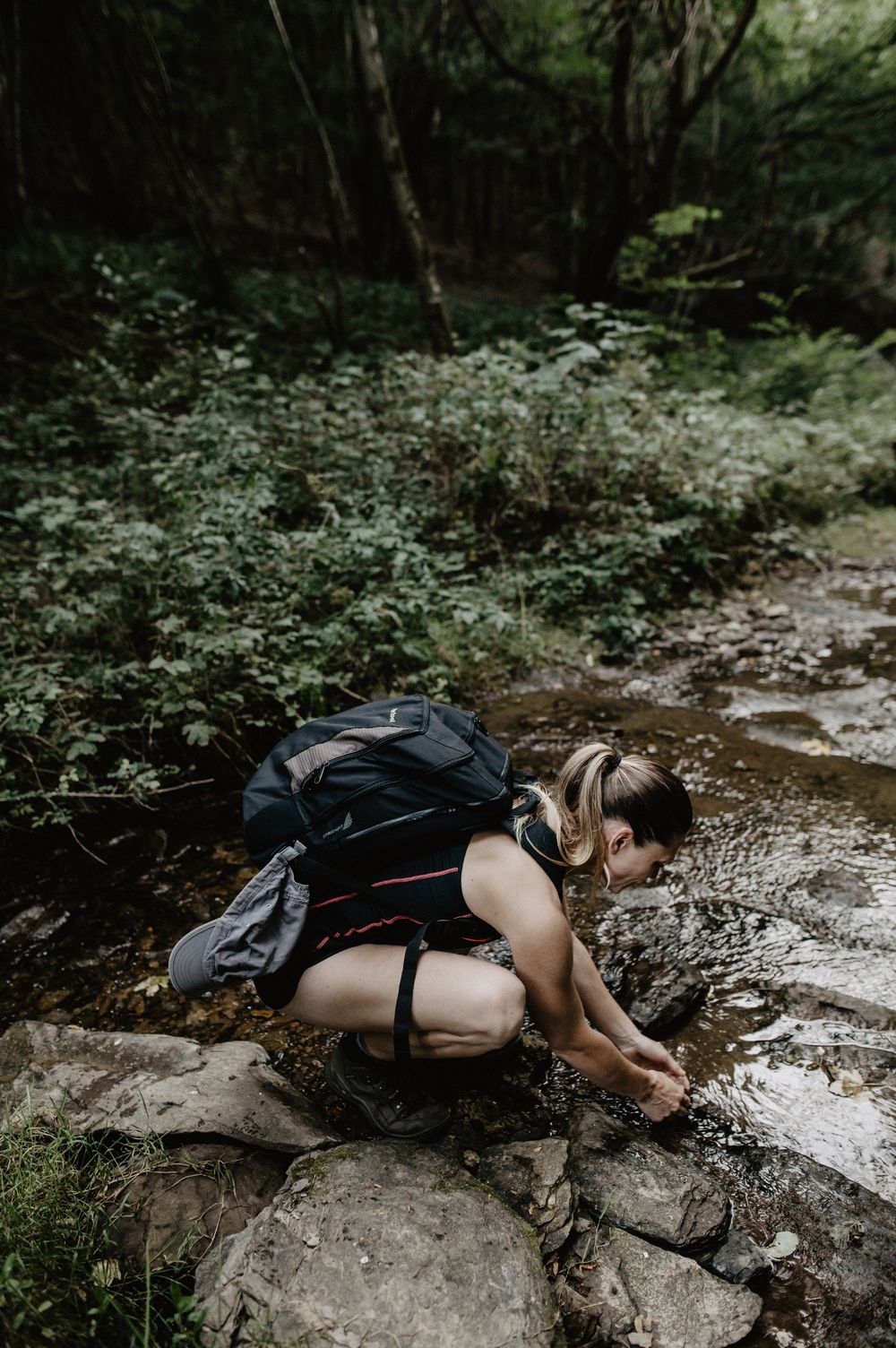
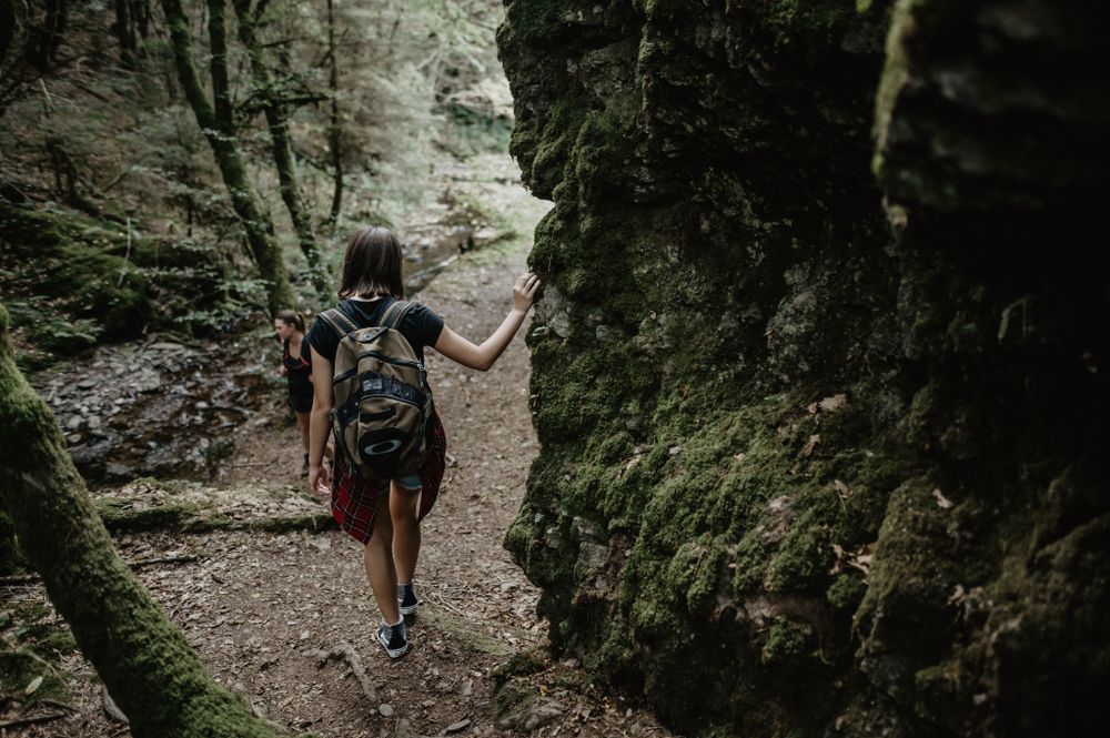
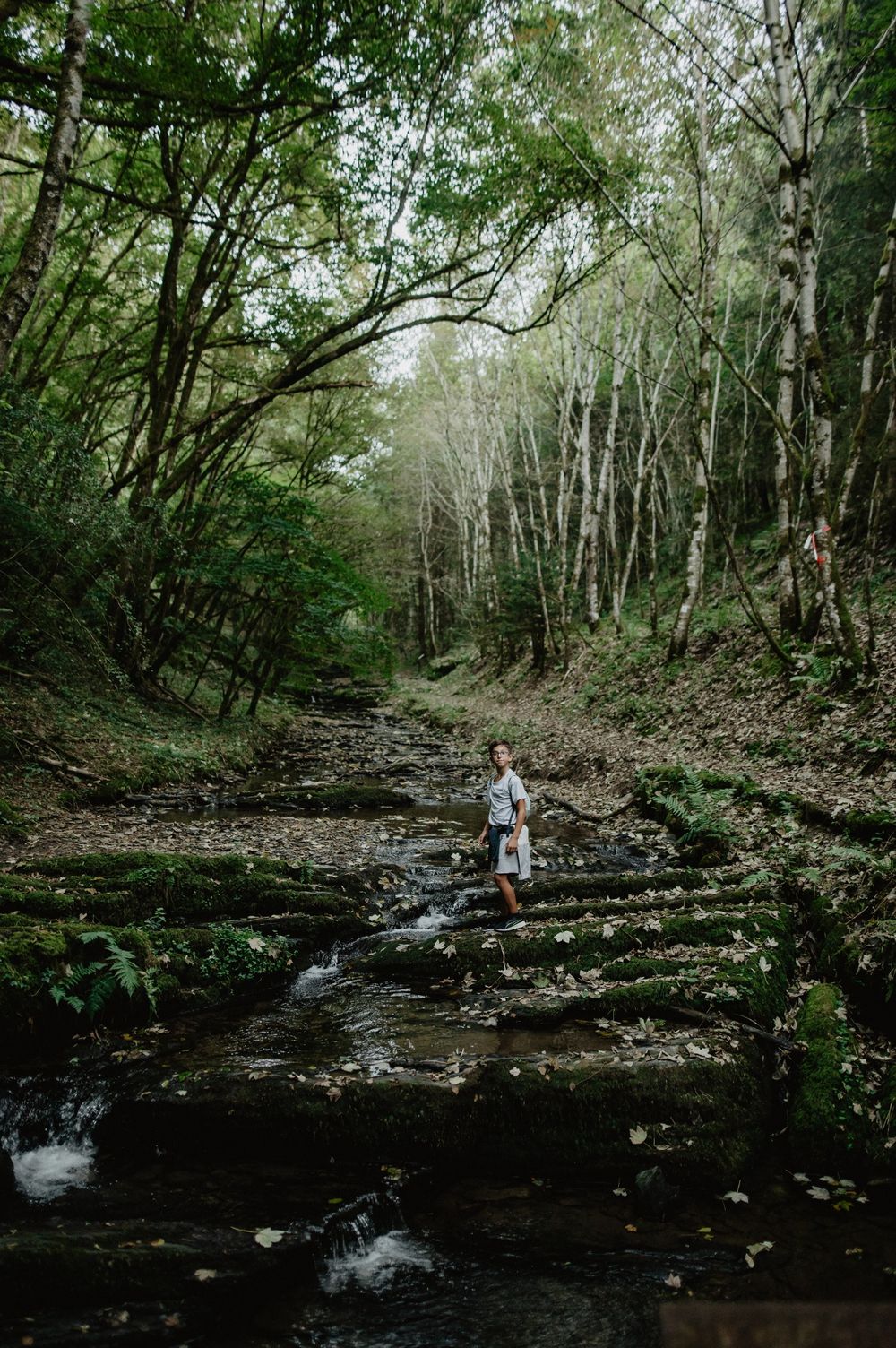
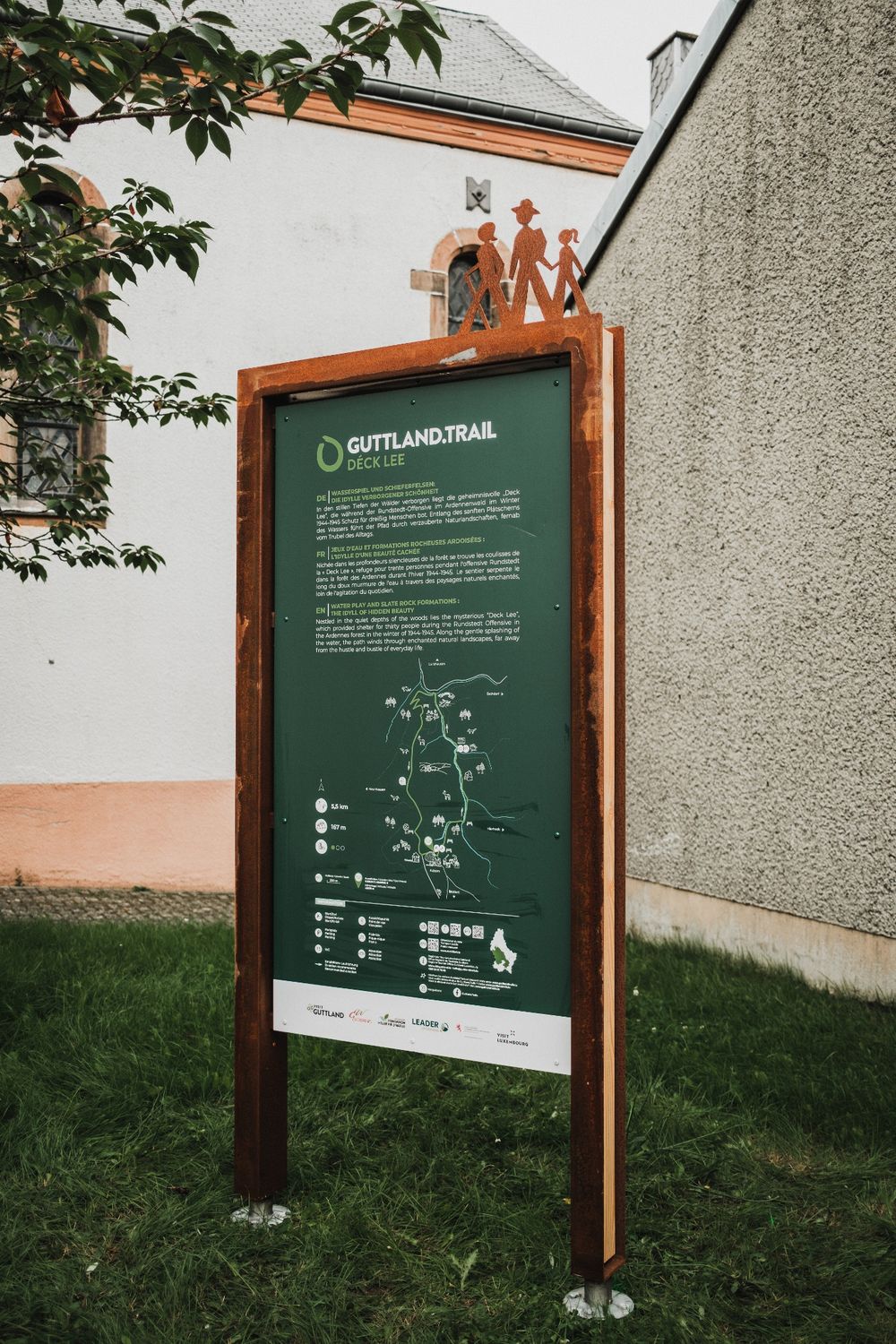
Water play and slate rocks: the idyll of hidden beauty
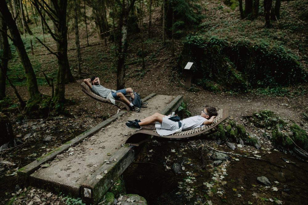
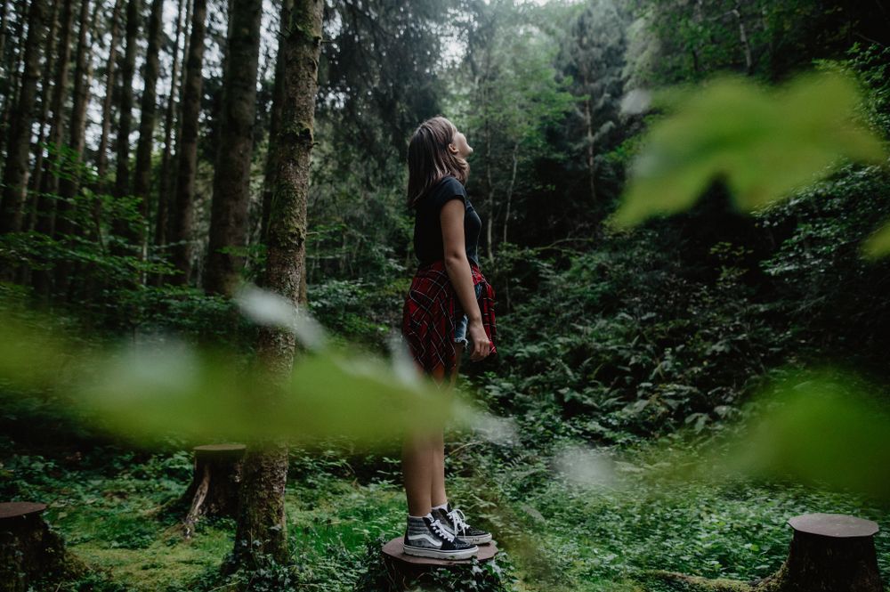
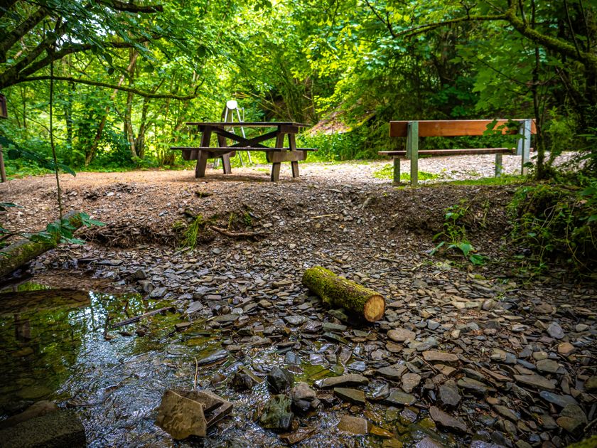
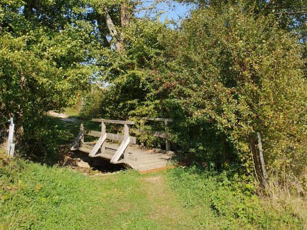
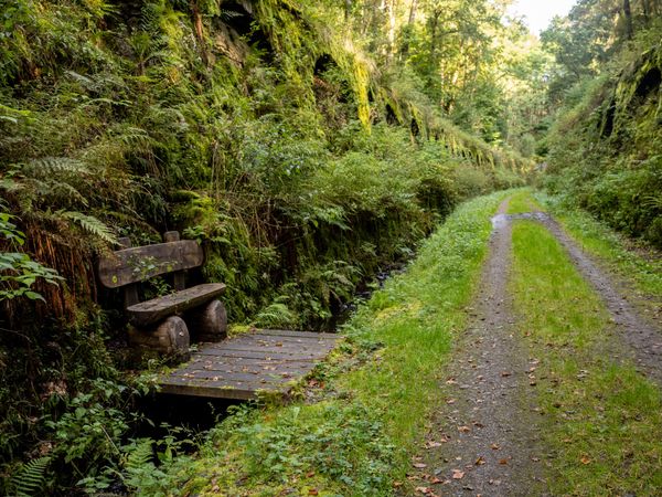
Discover the quiet depths of the forests and the hidden, mysterious “Deck Lee” – a cave that sheltered thirty people during the Rundstedt Offensive in the Ardennes forest in winter 1944-45. A path leads you along the gently babbling water through enchanted natural landscapes, far from the hustle and bustle of everyday life. This hike is perfect for warm days. Slow down and treat yourself to a refreshing foot bath in the creek.
Directions
The hiking trail is marked in both directions. Please follow the white-green marking signs.
For your safety
Weather conditions such as wetness, ice, and wind can make a route more difficult. The information refers to optimal conditions.
Equipment
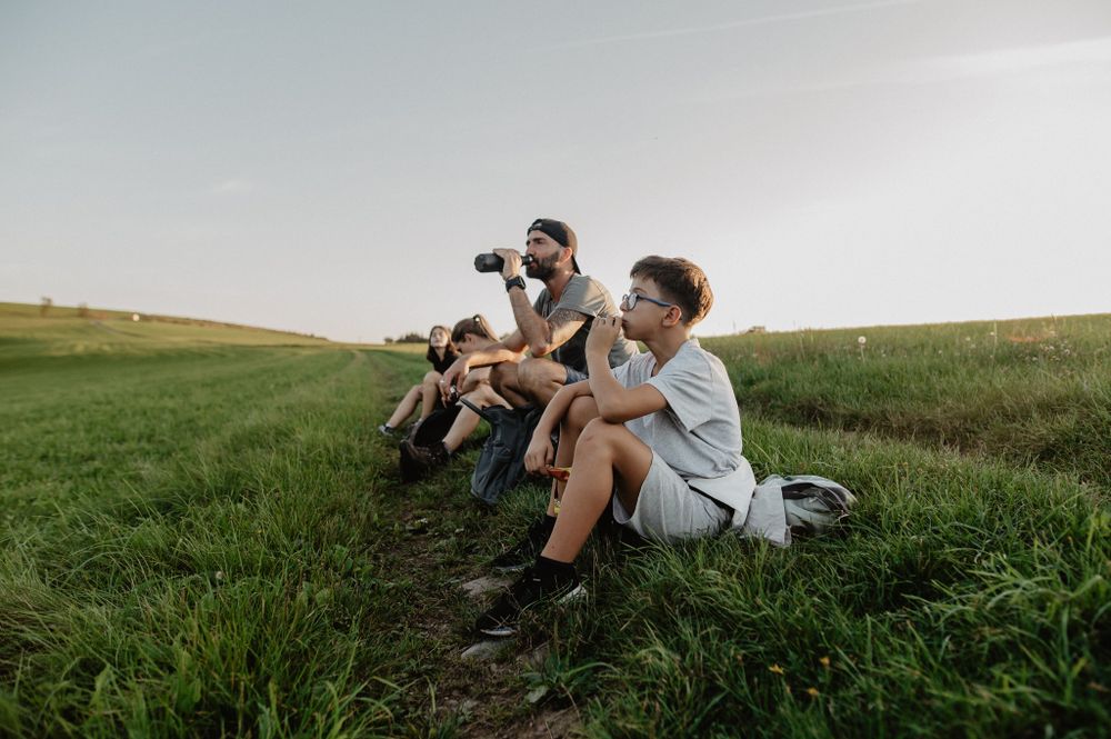
Sturdy footwear and something to drink.
Journey
Public transport: Bus stop 'Kuborn'. Bus line 132.
Visit the website www.mobiliteit.lu for directions and more information.
Getting there:
Parking:
Free hiking parking lot at the start of the Guttland.Trails, located right next to the St. Luc Church.


 This website uses technology and content from the Outdooractive Platform.