Description
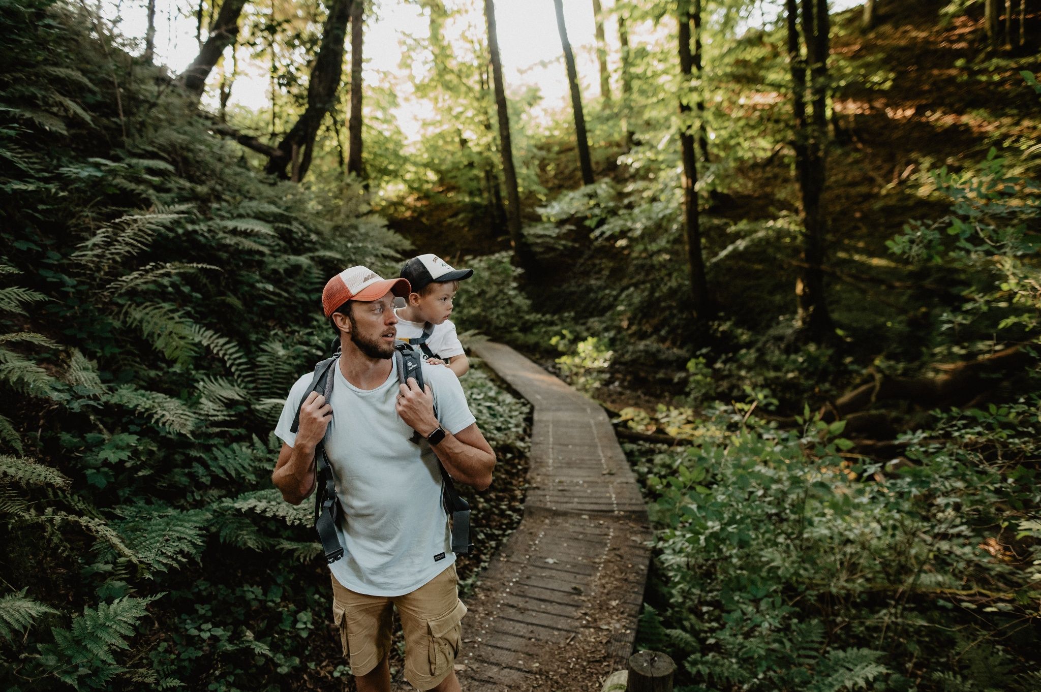
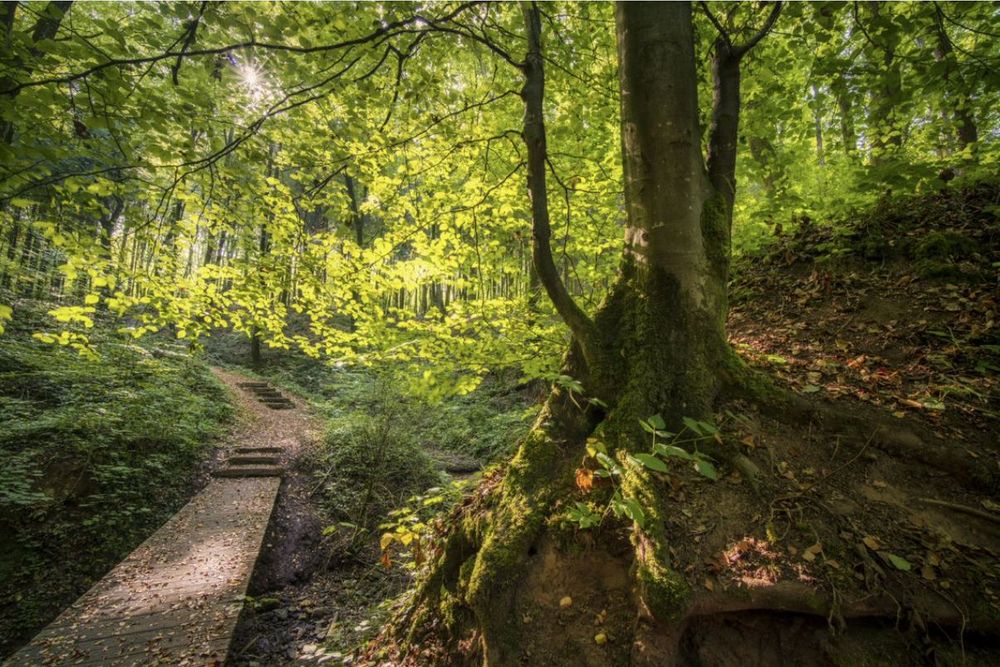
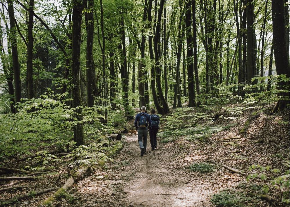
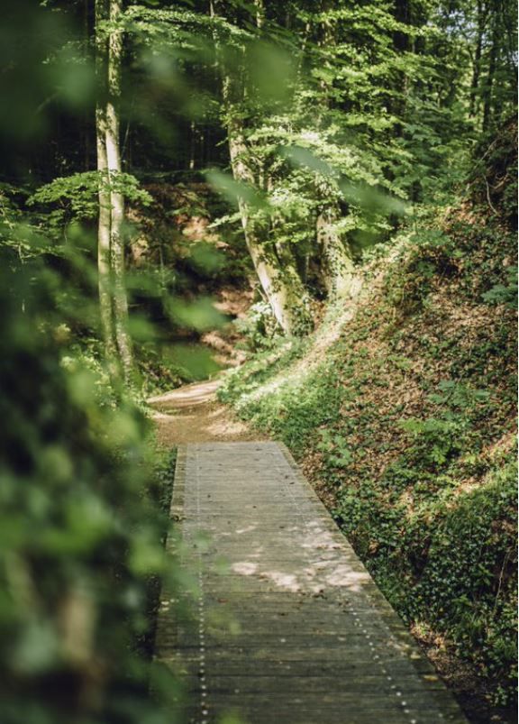
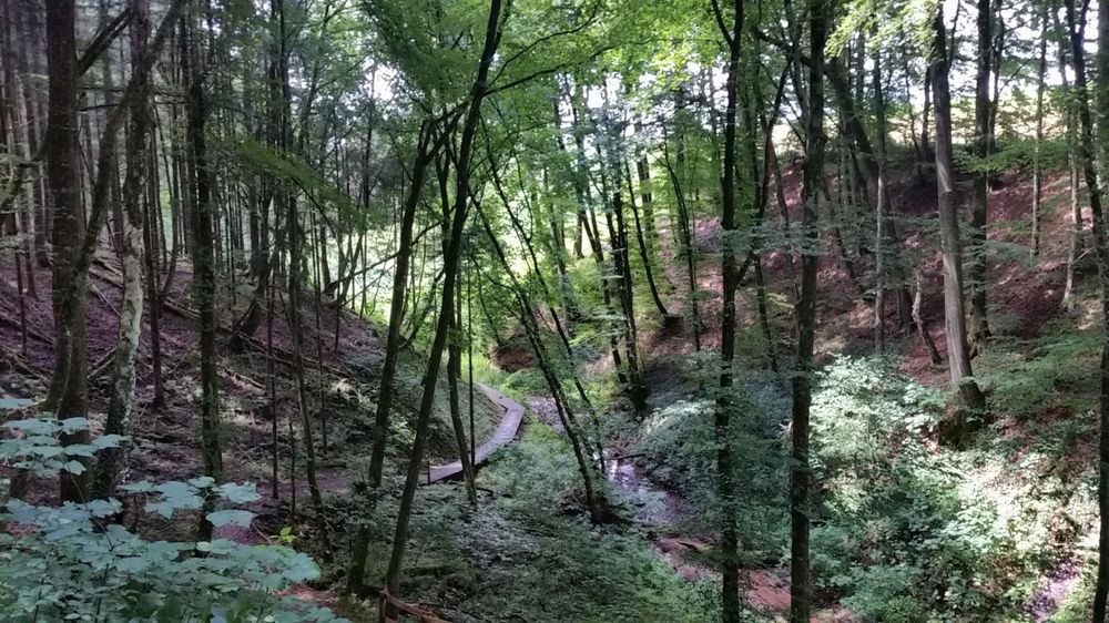
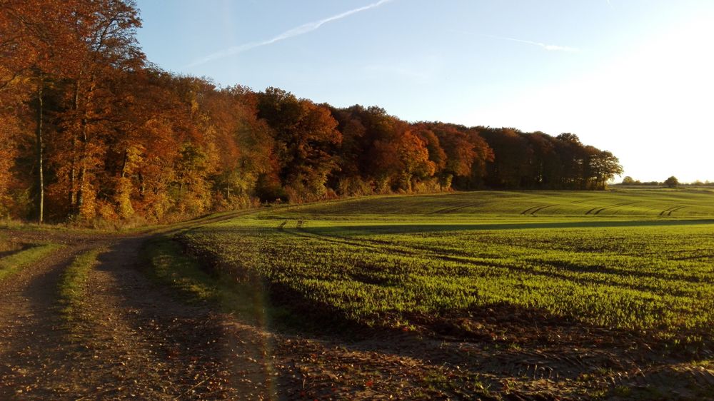
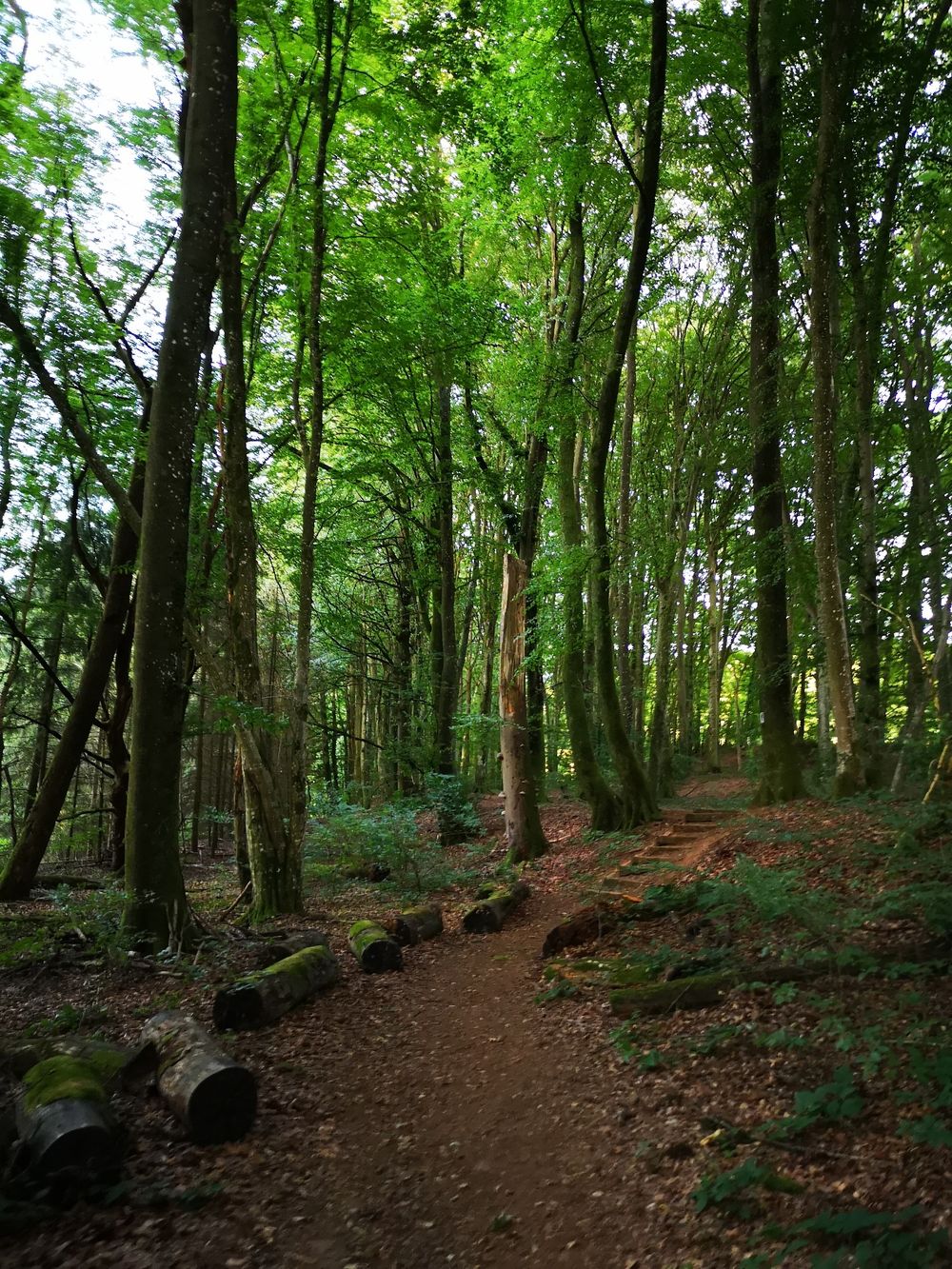
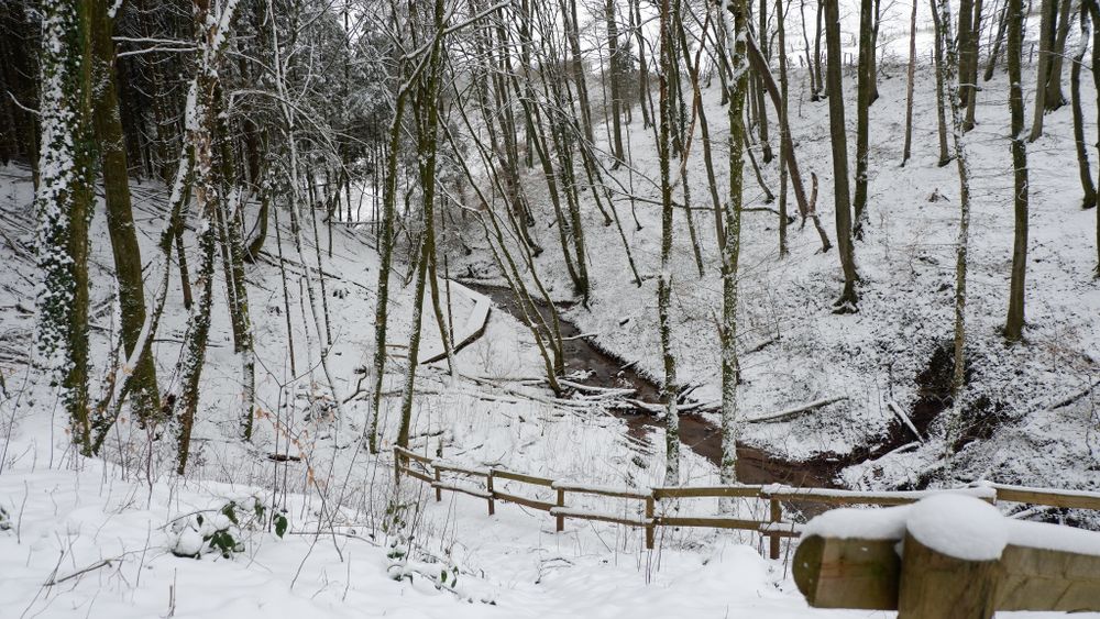
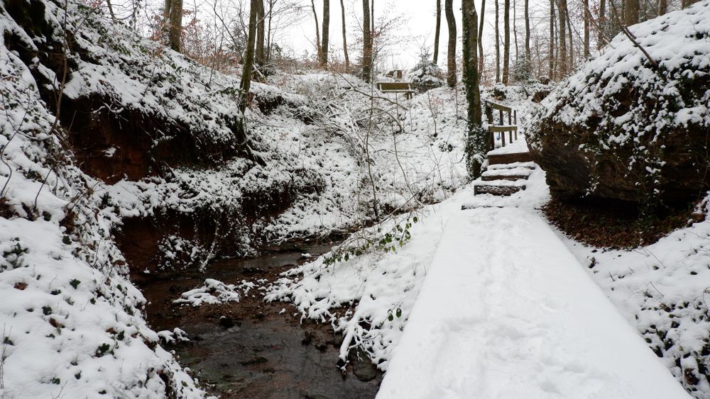
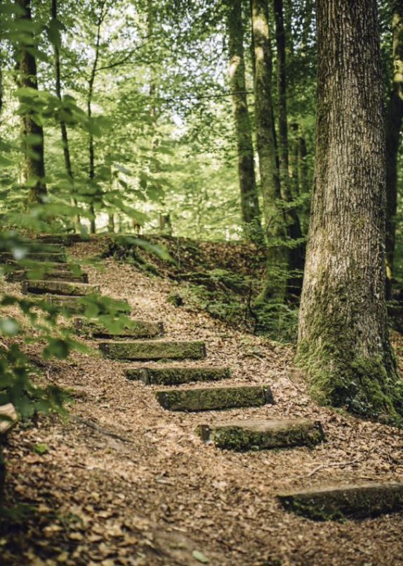
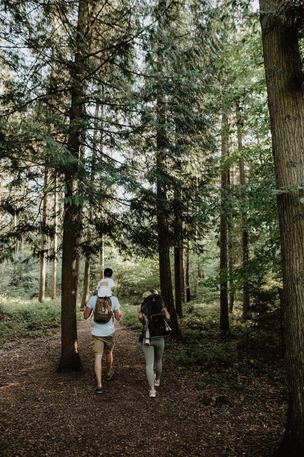
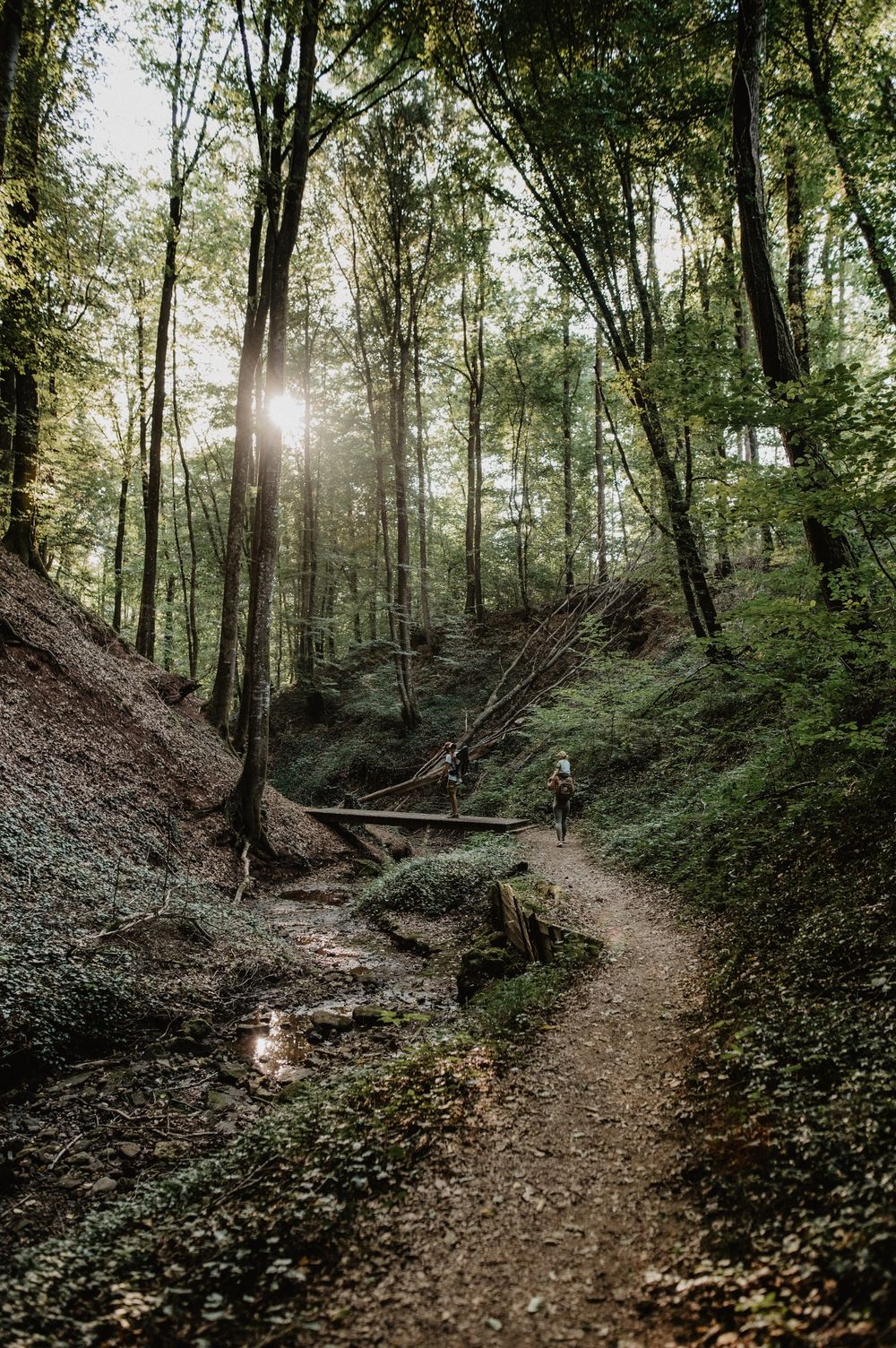
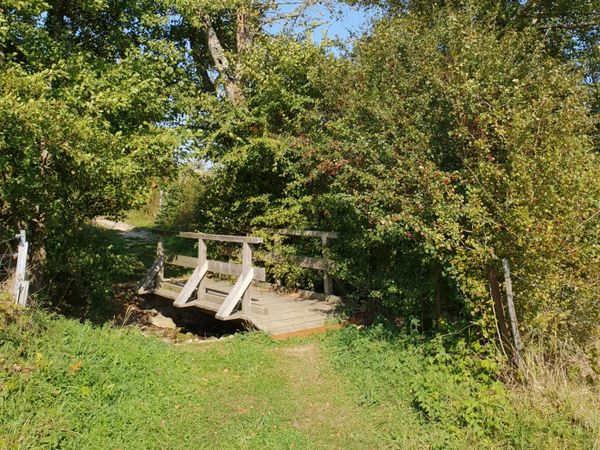
The five-kilometer-long Guttland.Trail starts in Reimberg at the 19th-century St-Rochus Chapel. The mulch path at the beginning of the trail leads through a beautiful quiet forest with some clearings. The highlight of the route is definitely the valley of „Schankegriecht“. A valley that gets its name from the legend of the „Schankemännchen“, a „little bone man“ who supposedly scared the residents of surrounding villages at night. Alongside a brook, past impressive rock formations, bridges and natural paths meander. Finally, the forest clears again and wide fields and meadows lie before the hiker in a gentle hilly landscape offering picturesque views of rural life in Guttland.

Directions
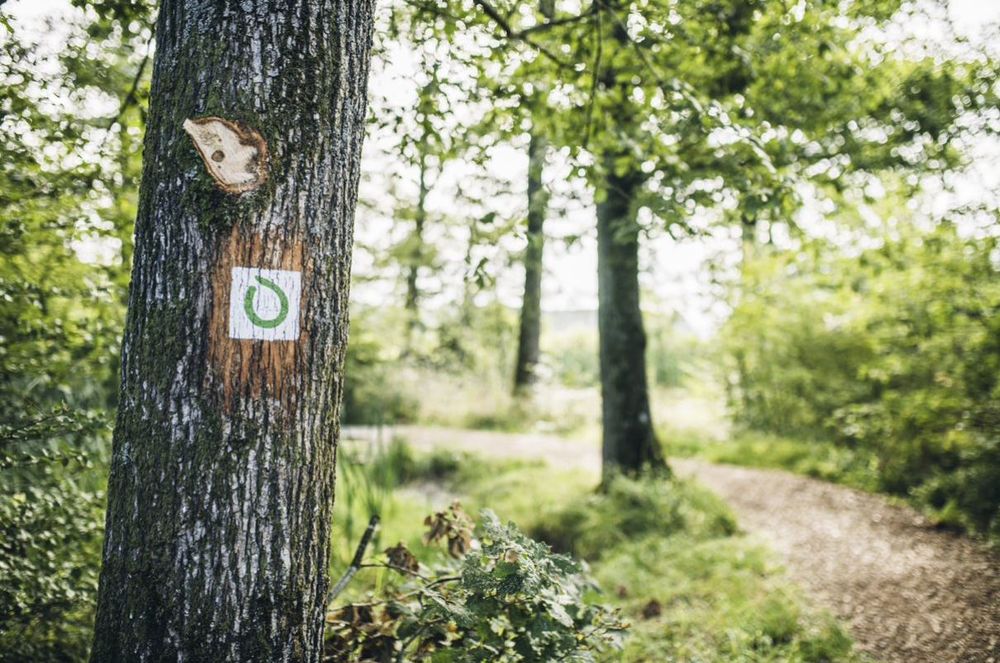
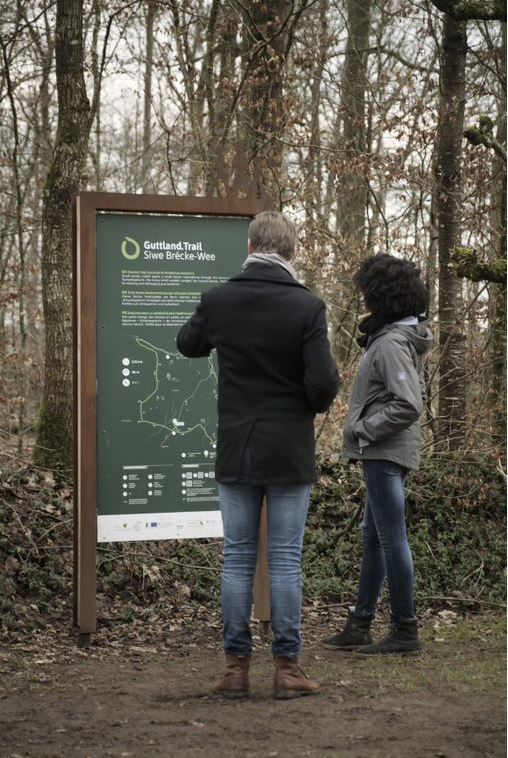
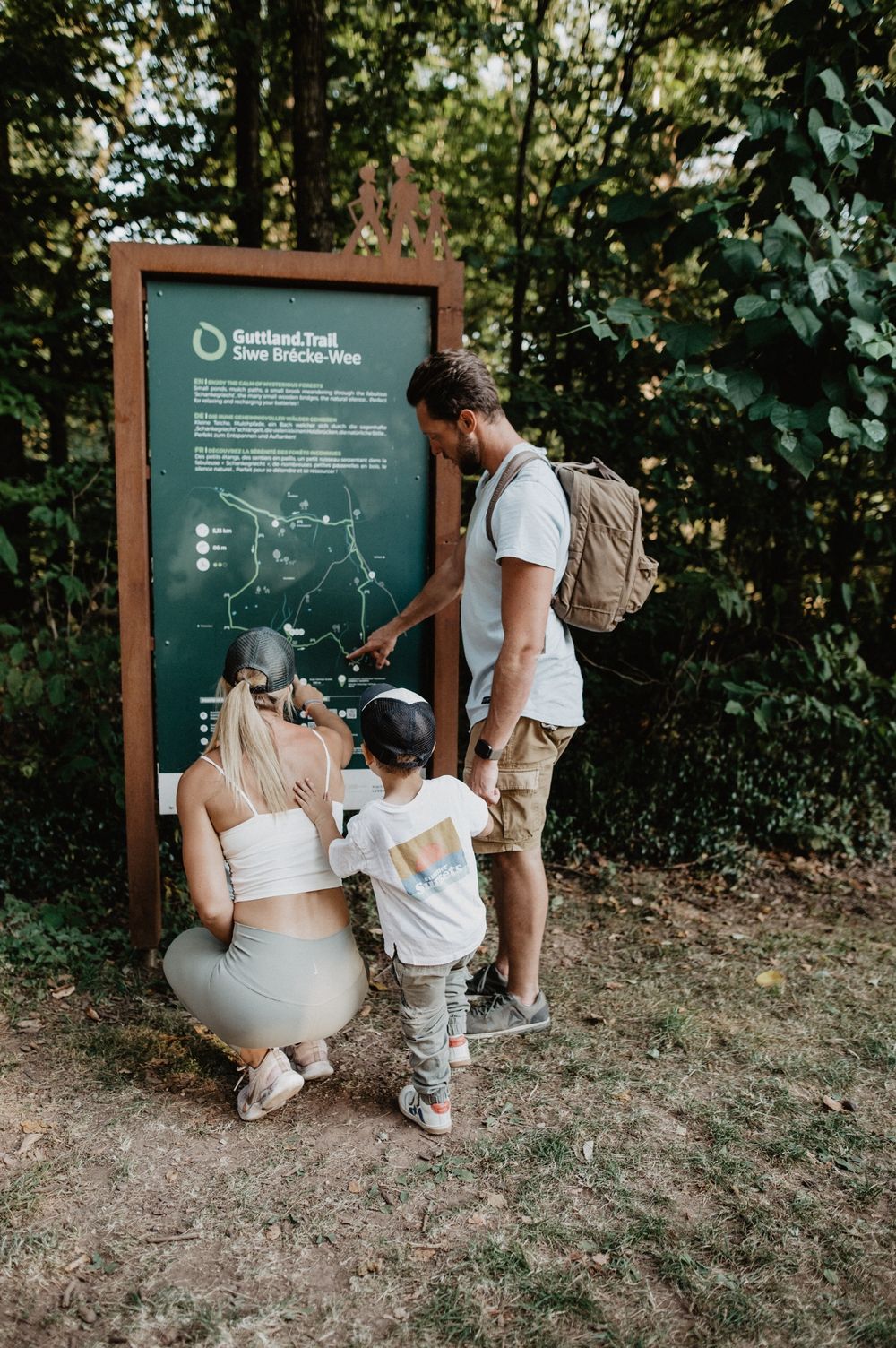
The hiking trail is marked in both directions. Please follow the white-green marking signs.
For your safety
Weather conditions such as wetness, ice, and wind can make a route more difficult. The information refers to optimal conditions.
Equipment
Sturdy footwear is recommended. Remember to bring enough drinking water.
Journey
Public transportation: bus stop 'Reimberg'. Accessible by bus from Luxembourg City.
Several bus lines. Visit the website www.mobiliteit.lu for route maps and more detailed information.
Getting there:
Parking:
Free hiking parking at the start of the Guttland.Trails, located directly next to the St. Rochus Chapel.


 This website uses technology and content from the Outdooractive Platform.