Description
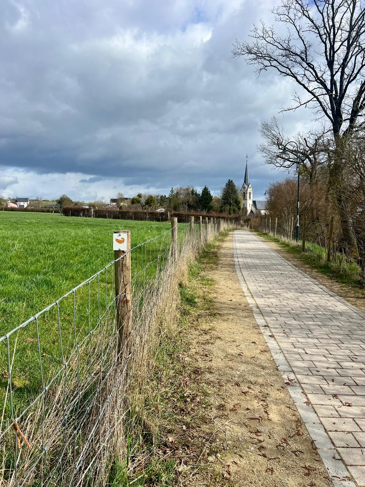
This educational trail is approximately 5 km long and leads through the diverse landscapes of the municipality of Waldbillig, partly crossing areas that belong to the European Natura 2000 network. Along the way, traditional orchards, dry stone walls, mardels and forests shape the landscape and provide valuable habitats for numerous insect species.
The Geo-Pad Insektewelt is the third Geo-Pad of the Natur- & Geopark Mëllerdall. The trail is marked by a fossil oyster (devil’s claw), reminding visitors that the history of the Mullerthal Region began millions of years ago beneath the sea. At partly interactive stations, visitors learn about the fascinating world of insects, their unique characteristics and their importance for nature. The trail also illustrates the close connection between insects and the unique geology of the Mullerthal Region.
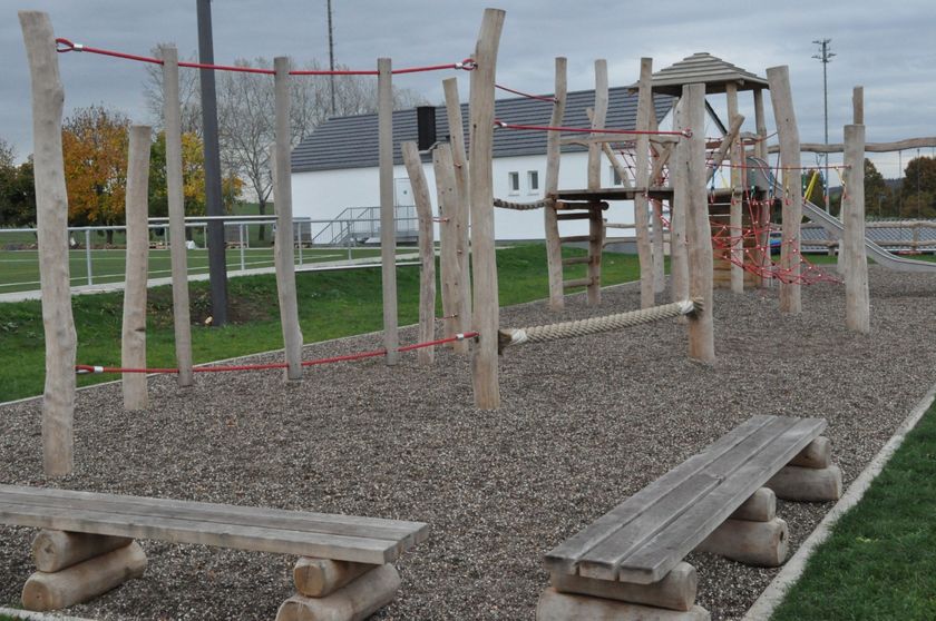
Combining outdoor discovery, learning and exercise, this educational trail is ideal for families, school groups and nature enthusiasts.
Signposting

Equipment
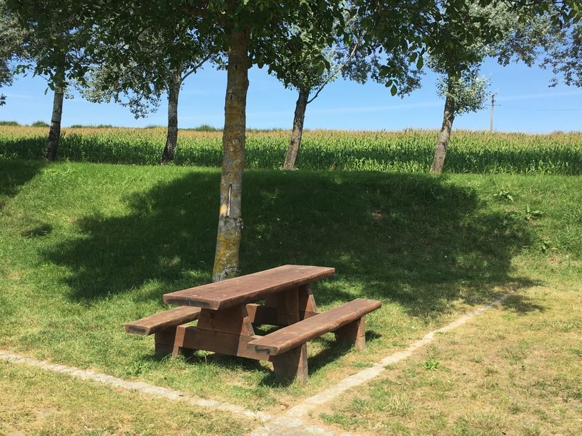
The trail mostly follows paved paths and is also accessible with a stroller.
Journey
Nearest bus stop: Waldbillig, Gemeng (600m)
Parking:
Waldbillig School, Christnach Football Pitch


 This website uses technology and content from the Outdooractive Platform.