Description
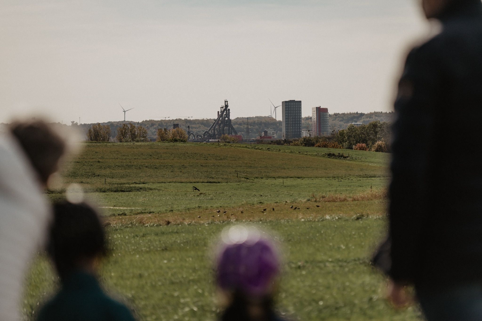
The Mondercange comfort hiking trail is particularly inviting on clear days. In good weather, enjoy the sunshine and the view of the iconic witnesses to the industrial history of the Minett region: the blast furnaces of Belval.
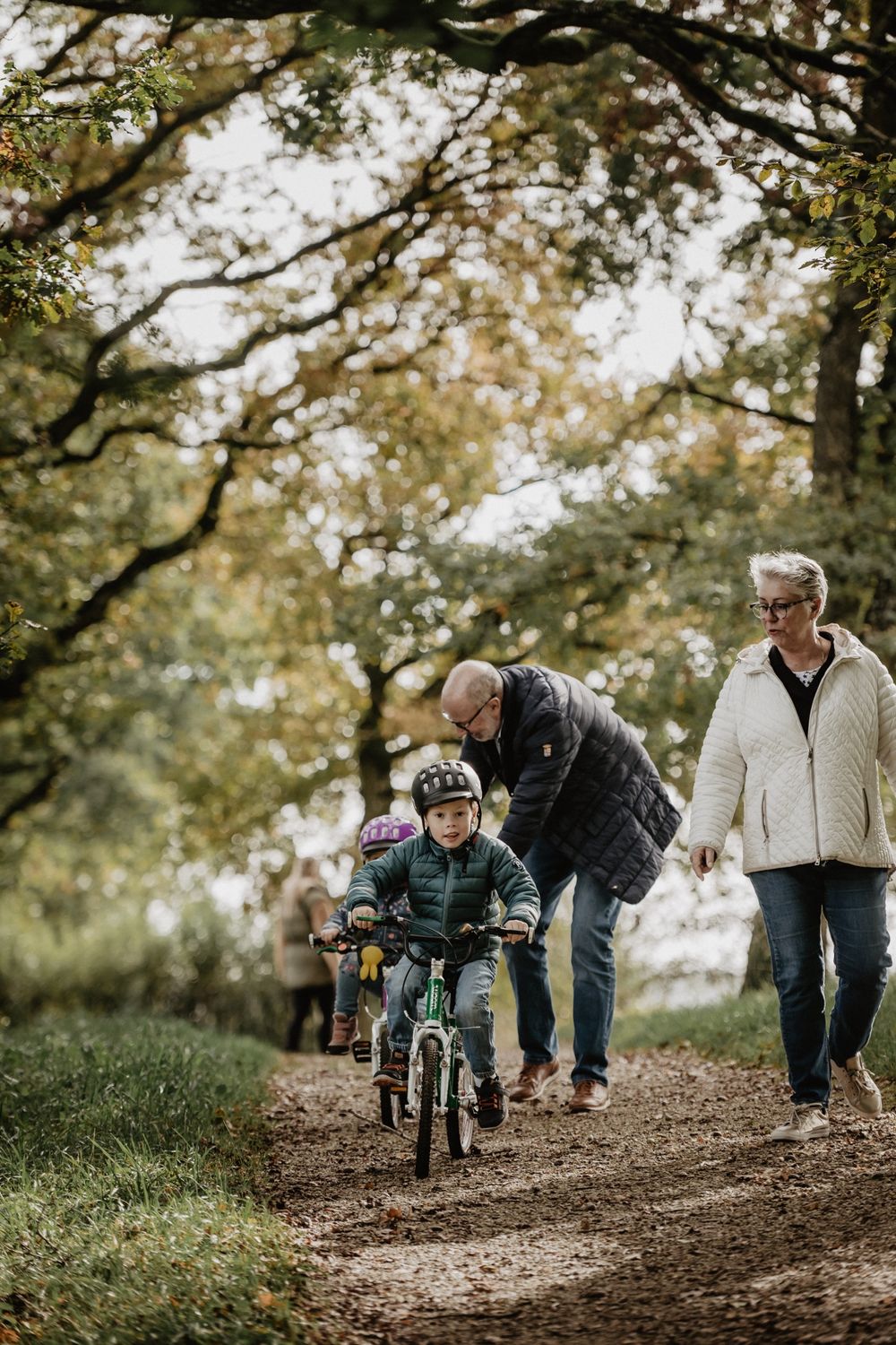
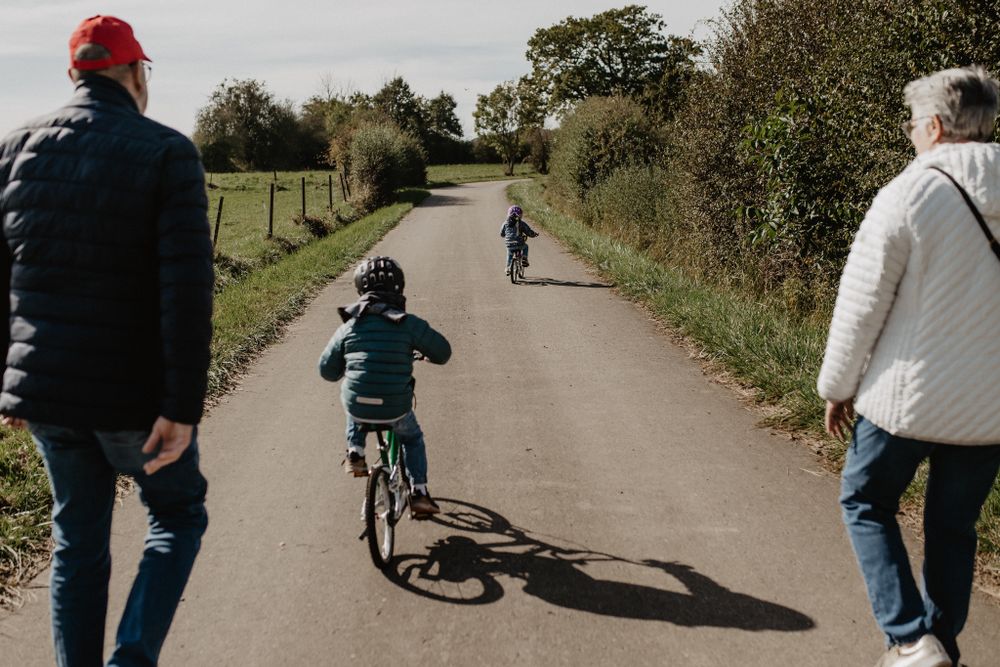
The trail runs mostly along open fields and meadows and gives you a glimpse of the more rural part of the Minett region with its wide views. In the middle section, the trail runs through a small wooded area. At the height of summer, the path offers little shade.
Information on comfort:
- Public barrier-free parking lot at the cemetery near the starting point
- Publicly accessible, barrier-free WC in Molter Park
- Surface: asphalt, water-bound surface, forest
- Maximum gradient is 12% over a length of 40 m
- Path is sufficiently wide throughout and easy to walk and drive on
- Seating available at regular intervals
- Large, partially barrier-free playground in Parc Molter
Signposting

Directions
The 5.3 km long hiking trail starts at the parking lot in the village center, where there are also parking spaces for people with reduced mobility. There is a restaurant right next to the parking lot where you can stop for a bite to eat before or after the hike. In the signposted Parc Molter, there are public toilets and an inclusive playground where children can really let off steam.
The path is mainly on asphalt, with around 1 kilometer on paved ground. In some places there are gradients of 6%-12% to overcome, but the path is generally accessible for wheelchair users with assistance. A bench invites you to take a breather approximately every 500m.
Equipment
Always remember to bring enough water with you on hot days.
Journey
Use the free public transport and travel climate-friendly by bus and train.
Nearest bus stop: Mondercange, A Bosselesch
Parking:
There is a free public parking lot directly on site. There are also parking spaces for people with reduced mobility.


 This website uses technology and content from the Outdooractive Platform.