©Visit Luxembourg
Guttland Germany France

Auto-pédestre trail Bertrange

Starting point

Bertrange-Leudelange road, car park at the edge of the forest

Destination

Bertrange-Leudelange road, car park at the edge of the forest

Distance
7,31 km
Duration
1:49 h
Difficulty
easy
  • Condition
Highest point
313 Hm
Lowest point
282 Hm
Aggregated Ascent
31 Hm
Aggregated Descent
31 Hm
Circular routes Visit Luxembourg

Description

Circular walk Bertrange

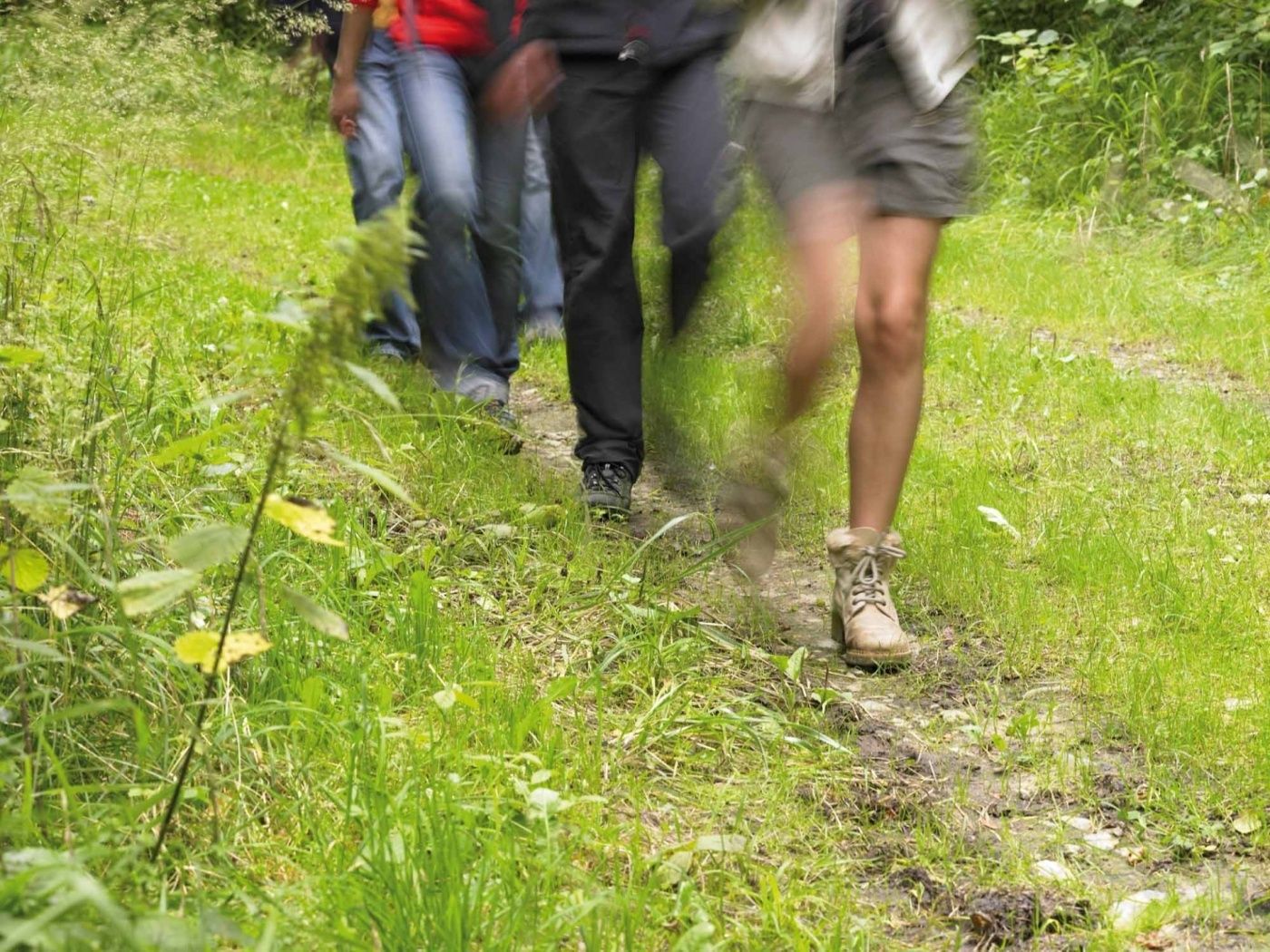
We walk in a long circuit through the commu­nity-owned forest Ënneschte Bësch. At the halfway point, we pass Leudelange station.
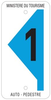
Similar hiking tours

©Administration des Eaux et Forêts / LFT
Local hiking trail Esch: Sentier Pierre Wies trail – 8.5km
Distance: 10,60 km
Duration: 2:55 h
Difficulty: easy
Find out more
©KuFa
Circular routes
Nature walk Natura 2000 - Boucle C: "La succession végétale sur un ancien territoire minier" – 2,5 km
Distance: 2,68 km
Duration: 0:45 h
Difficulty: easy
Find out more
©Visit Luxembourg
Circular routes
Auto-Pédestre trail Bürden
Distance: 4,62 km
Duration: 1:25 h
Difficulty: easy
Find out more
©ORT Sud
Circular routes
Local hiking route "Parc Le'h" - children’s route
Distance: 1,46 km
Duration: 0:25 h
Difficulty: easy
Find out more
©Visit Luxembourg
Circular routes
Auto-Pédestre Hiking Route Eschweiler
Distance: 7,05 km
Duration: 1:55 h
Difficulty: easy
Find out more
©Phothoteque de la Ville de Luxembourg - Tony Krier, Unknown
Shoah Memorial Trail in Luxembourg City
Distance: 3,26 km
Duration: 1:54 h
Difficulty: easy
Find out more
©Visit Luxembourg
Thematic paths
The court jester
Distance: 2,69 km
Duration: 1:00 h
Difficulty: easy
Find out more
©Visit Éislek, Visit Luxembourg
Thematic paths
Pure nature? - Small circular route
Distance: 1,88 km
Duration: 0:35 h
Difficulty: easy
Find out more
©Jeniska Photography, Visit Luxembourg
Guttland.Trails
Guttland.Trail Fautelfiels
Distance: 5,40 km
Duration: 1:45 h
Difficulty: easy
Find out more
outdooractive This website uses technology and content from the Outdooractive Platform.