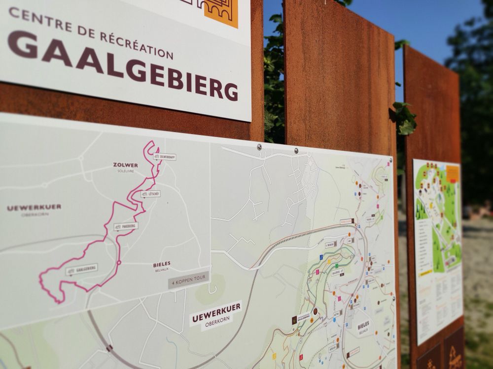
©ORT Sud
Minett Germany France

Auto-Pédestre trail Belvaux

Starting point

Parking, 7 rue de Soleuvre 4487 Belvaux

Destination

Parking, 7 rue de Soleuvre 4487 Belvaux

Distance
8,66 km
Duration
3:10 h
Difficulty
medium
  • Condition
Highest point
414 Hm
Aggregated Ascent
264 Hm
Aggregated Descent
264 Hm
Circular routes Visit Luxembourg

Description

Refreshment stops available

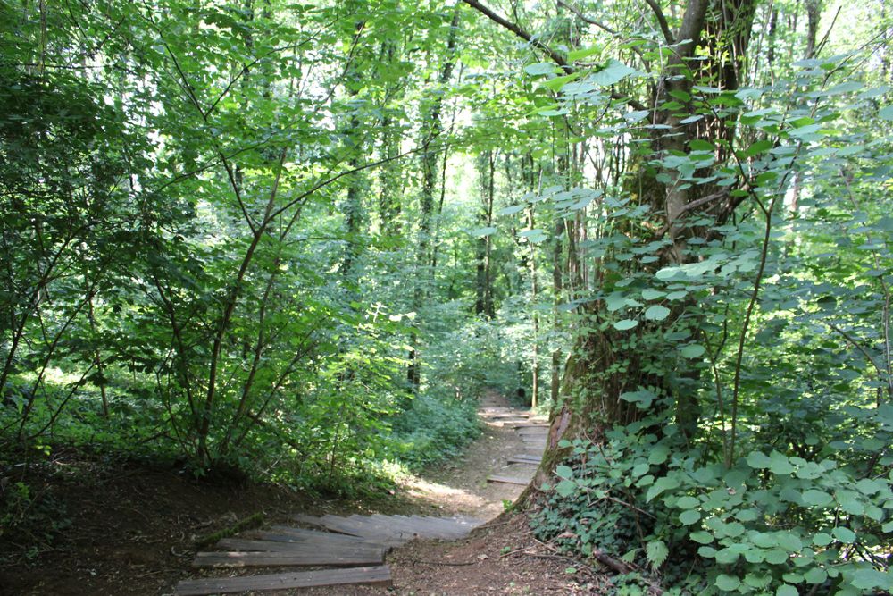
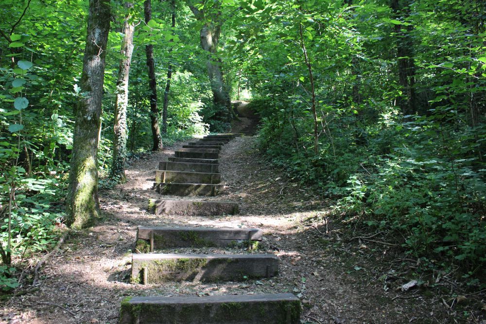
This Auto-Pédestre is the route of views.

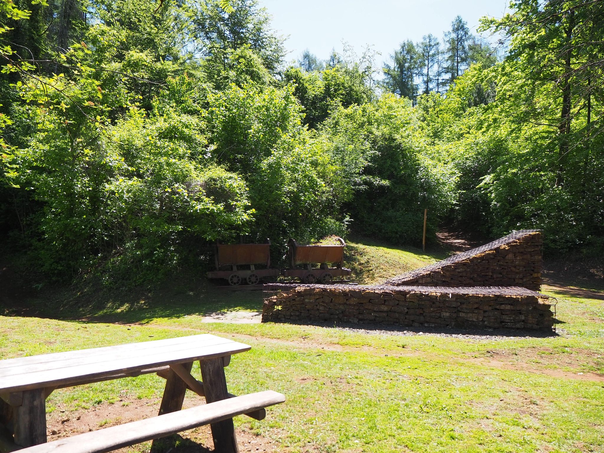
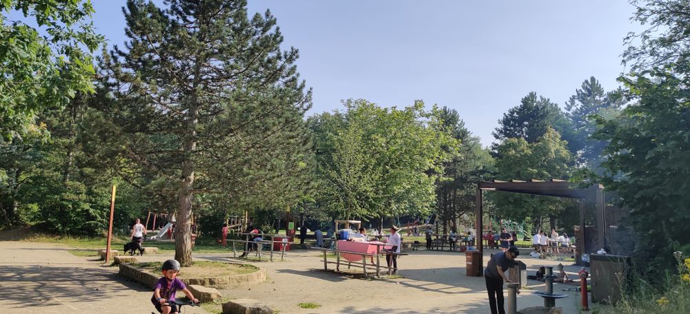
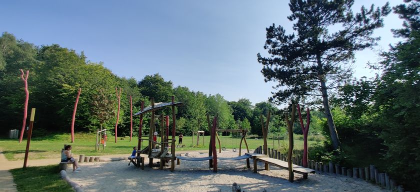
At the beginning, an impressive view of Belval and the blast furnaces is offered. The route alternates between village idyll and historic places in the midst of the forests, such as the castle on Zolwerknapp. A great picnic spot is available towards the end of the route, where you can also explore the fully loaded carts (“Buggiën”).

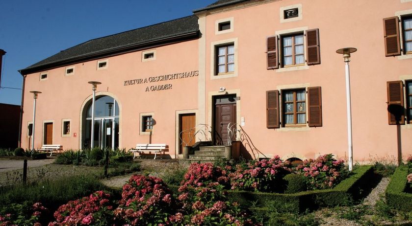
Along the trail, there are plenty of stops for lovers of local products; the inclusive shop "Eis Epicerie" in Soleuvre offers local and regional goods for purchase and tasting, and will also allow for dining from June 2026. Two freely accessible orchards with local fruit varieties, part of the "Tutti Frutti" project of the Minett UNESCO Biosphere, are located directly on or just a short walk from the trail: "Pakebierg" boasts an abundance of cherry, nut, pear, and apple trees, while the orchard at "Haus A Gadder" features 50 trees of various fruit varieties.

Not far from the trail, and just a short drive away, you can admire the art of coffee roasting at "Torrefaction Knopes," fill up on milk at "Haff Tempels" in Oberkorn, or purchase fresh pasta products at "Pastificio Angelini" in Differdange.

Suggestions nearby

Auto-Pédestre trail Belvaux

  • ©Artikus Soleuvre
    Artikuss
    A brand new concert hall in Soleuvre.
    Find out more
  • ©RedRock Climbing Center
    RedRock Climbing Center
    High up at over 15 meters of elevation
    Find out more
  • Playground Belvaux Gaalgebierg
    Playground Belvaux Gaalgebierg
    Find out more
  • ©A Gadder
    House of culture and history A Gadder
    The museum area comprises a total of nine rooms, in which exhibits provide insights into living and working conditions at the end of the 19th century, industrial past of the region and the history of the commune during the Second World War.
    Find out more

Similar hiking tours

©Visit Luxembourg
Local hiking trail GM2 - Gruussfooscht/Haard
Distance: 6,93 km
Duration: 2:00 h
Difficulty: medium
Find out more
©Visit Luxembourg
Circular routes
Auto-Pédestre hiking route Heiderscheid
Distance: 7,97 km
Duration: 2:25 h
Difficulty: medium
Find out more
©Visit Luxembourg
Circular routes
Auto-Pédestre route Lieler
Distance: 7,85 km
Duration: 2:15 h
Difficulty: medium
Find out more
©Visit Luxembourg
Circular routes
Auto-Pédestre hiking route Roder
Distance: 7,64 km
Duration: 2:30 h
Difficulty: medium
Find out more
©Visit Luxembourg
Circular routes
Auto-Pédestre Hiking Trail Dahl
Distance: 9,05 km
Duration: 2:45 h
Difficulty: medium
Find out more
©Lynn Schüssler, Visit Luxembourg
Éislek Pied
Éislek Pad Heinerscheid
Distance: 15,84 km
Duration: 4:50 h
Difficulty: medium
Find out more
©Visit Luxembourg
Circular routes
Auto-Pédestre Baschleiden route
Distance: 8,55 km
Duration: 2:40 h
Difficulty: medium
Find out more
©Visit Luxembourg
Circular routes
Auto-Pédestre Hiking Trail Consthum
Distance: 7,72 km
Duration: 2:15 h
Difficulty: medium
Find out more
©Visit Luxembourg
Circular routes
Circuit du Lac (eastern part)
Distance: 16,79 km
Duration: 5:30 h
Difficulty: medium
Find out more
outdooractive This website uses technology and content from the Outdooractive Platform.