Description
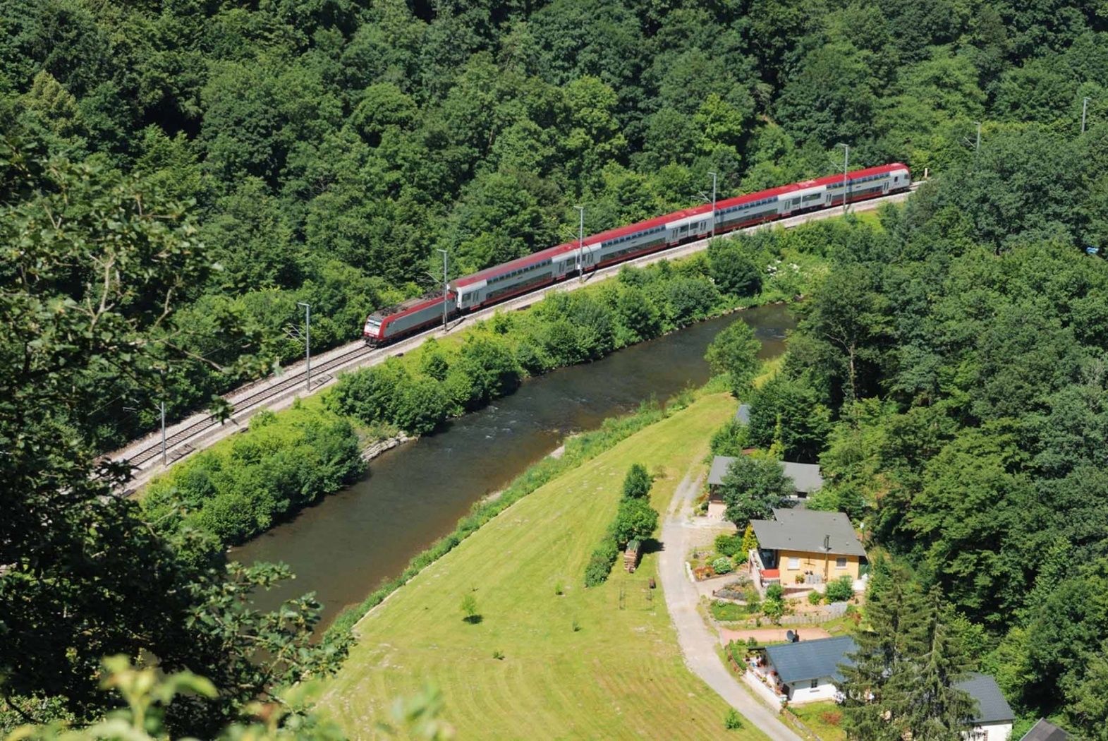
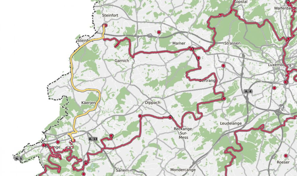
Hike from station to station between Pétange and Kleinbettingen
The path first crosses Pétange. At the edge of town, it follows the course of the Chiers stream until it meets the national cycle route PC12 Piste cyclable de l'Attert. Further on, the hike passes Clemency and along the border with Belgium. Across fields and near the forest, the route leads to the entrance of Kleinbettingen, on Kahler street. Here you leave the cycle path, go under the motorway, and reach Kleinbettingen station.
Except for a small section along the Chiers in Pétange, which can easily be bypassed, this route is suitable for pushing prams, bicycles, or similar.
© Editions Guy Binsfeld
Signposting
Directions
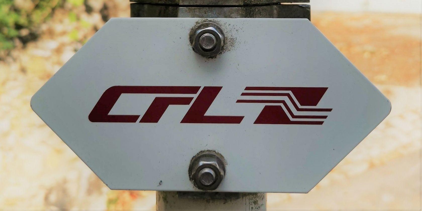
Please follow the signs marked "CFL"
Attention: The path is walkable in both directions and is signposted accordingly in both directions.
Equipment
Please remember to bring enough drinking water and food for the hike.
Journey
Start and finish are at a train station.
Parking:
Parking spaces are available on site at the stations


 This website uses technology and content from the Outdooractive Platform.