Distance trails Visit Luxembourg
Description
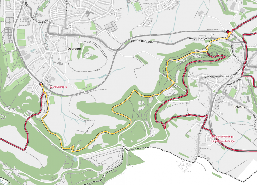
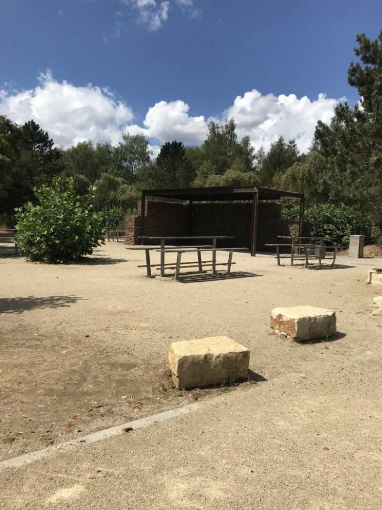
Hike between two train stations in the Minett region, from Belvaux-Soleuvre to Oberkorn
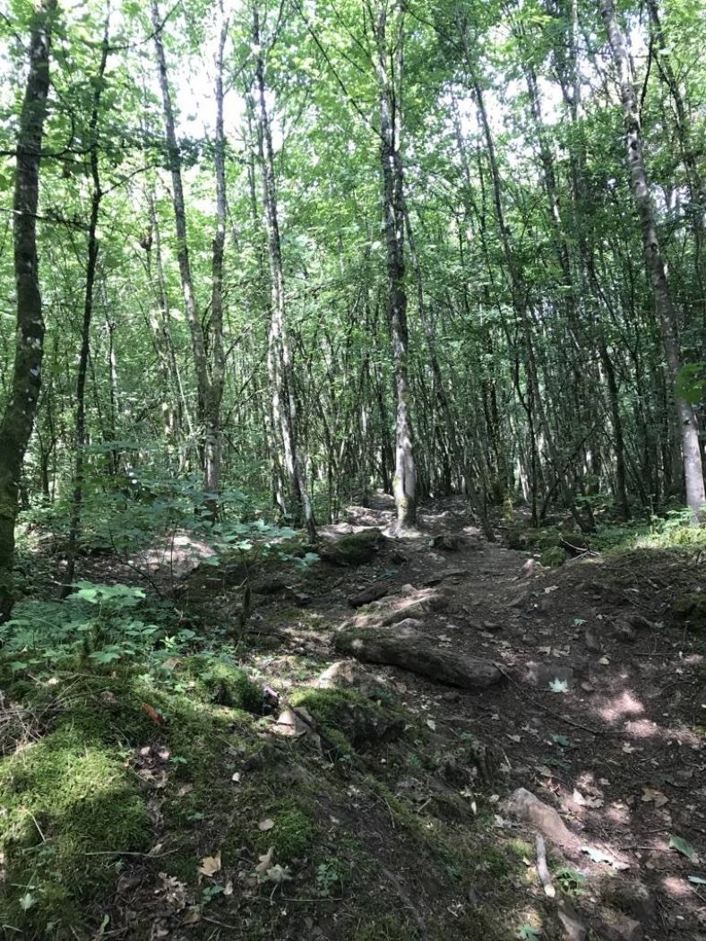
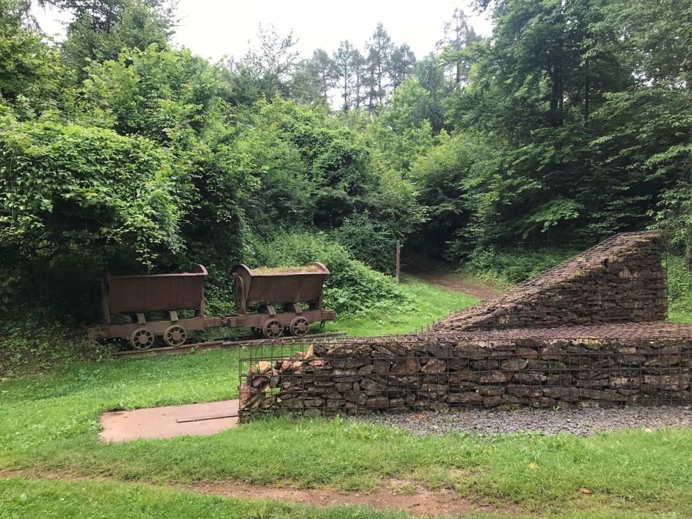
The route runs entirely along the national hiking trail Sentier du Sud. It includes extensive forest sections and offers an interesting view at the end of the former open-cast mining area Ronnebierg.
This route can be well combined with the CFL hiking trails 26, Esch-sur-Alzette - Belvaux-Soleuvre (9km) or 28, Oberkorn - Niederkorn (8.9km).
© Editions Guy Binsfeld
Signposting
Directions
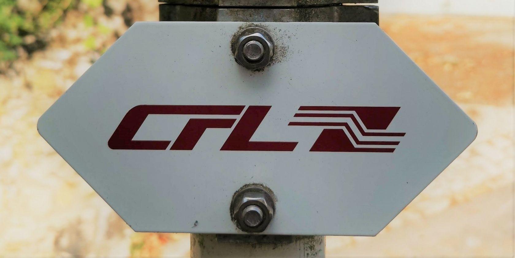
Please follow the "CFL" signs.
Note: The path can be travelled in both directions and is signposted accordingly.
Equipment
Please remember to pack enough provisions for the hike.
Journey
Public transport:
Parking:
Start and finish are located at a train station.
Parking:
Public parking spaces directly on site


 This website uses technology and content from the Outdooractive Platform.