Description
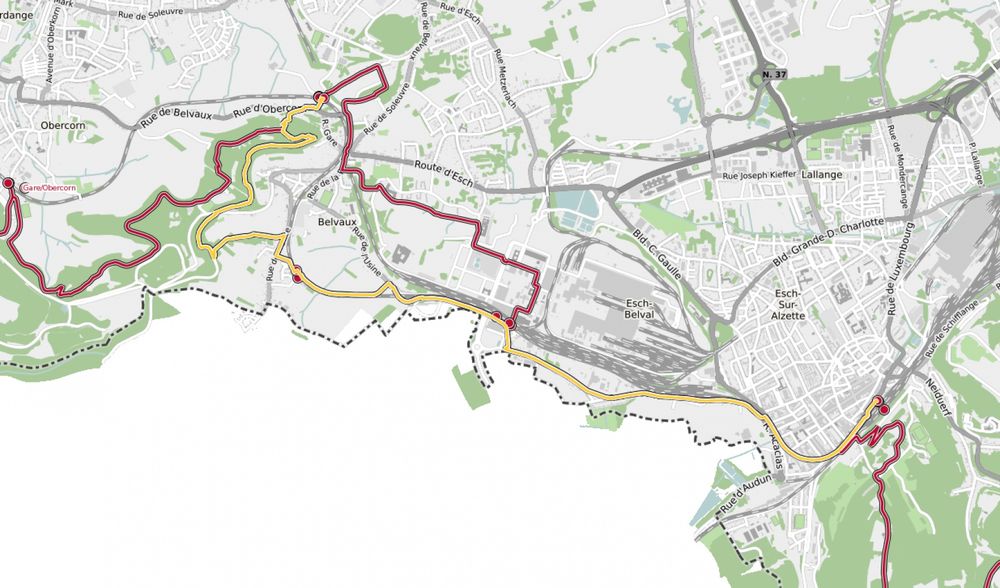
Hike from station to station, from Esch-sur-Alzette to Belvaux-Soleuvre
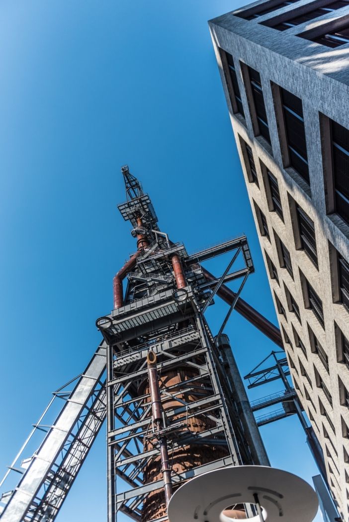
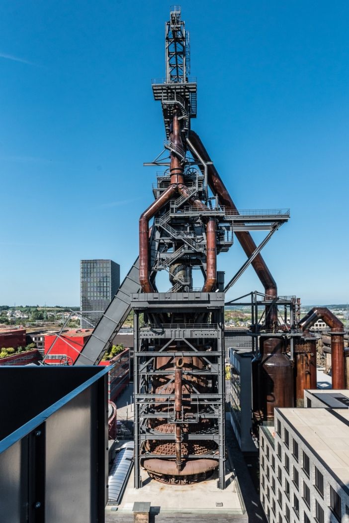
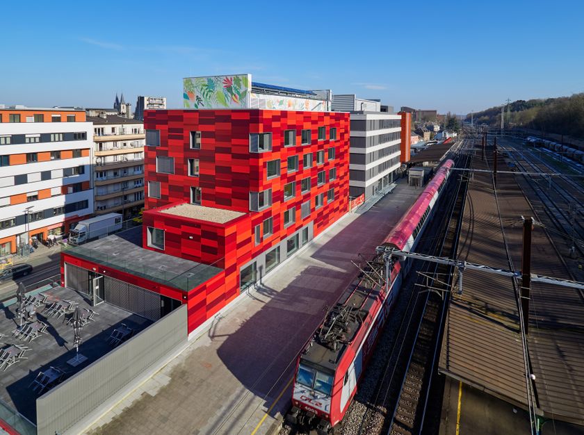
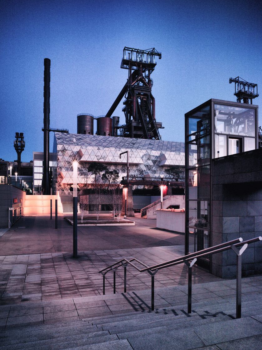
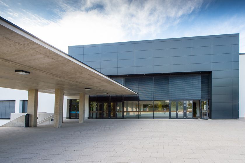
The route offers views of the former industrial area Esch-Belval, once the center of Luxembourg's steel production. Today, Belval is a new business and service center, also hosting Luxembourg's university. The associated state-of-the-art Belval-Université station is reached after the first 3.5 km of this hike. In the final section, from around Belval-Rédange station, the path rises by about 100m. The latter station is close to the French border. It serves the towns Belvaux (L) and Rédange (F). This hike ends at Belvaux-Soleuvre station.
© Editions Guy Binsfeld
Directions
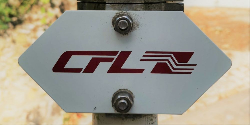
Please follow the "CFL" signage
For your safety
Please remember to bring enough drinking water and food.
Equipment
Please remember to bring enough drinking water and food.


 This website uses technology and content from the Outdooractive Platform.