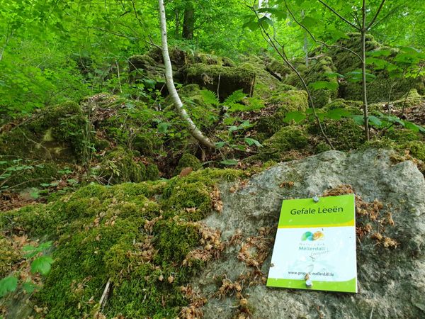

Geolandscape "Wanterbaach-Siweschlëff"
Where? Beim Maartbesch, L-6552 Berdorf
Explore the impressive rock labyrinth amid steep rocky gorges.
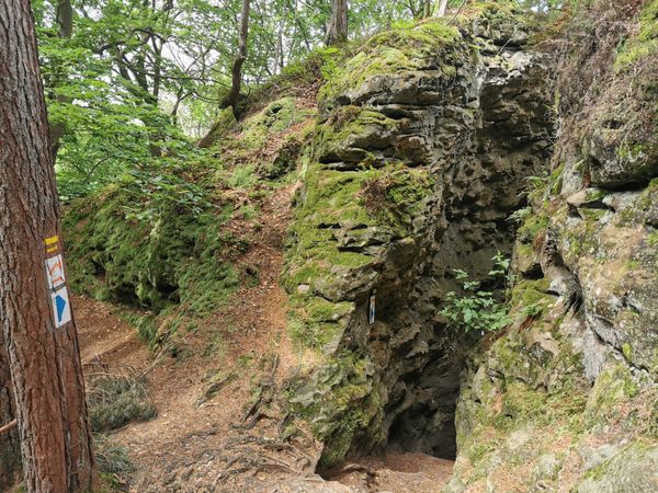
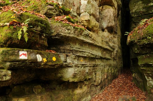
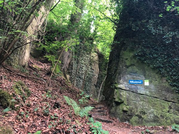
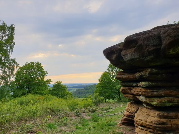
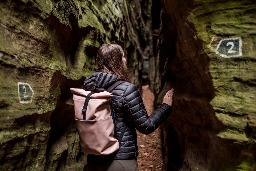
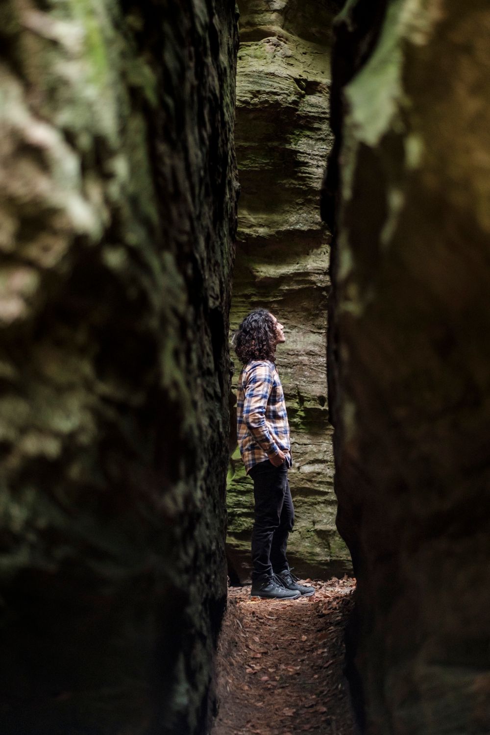
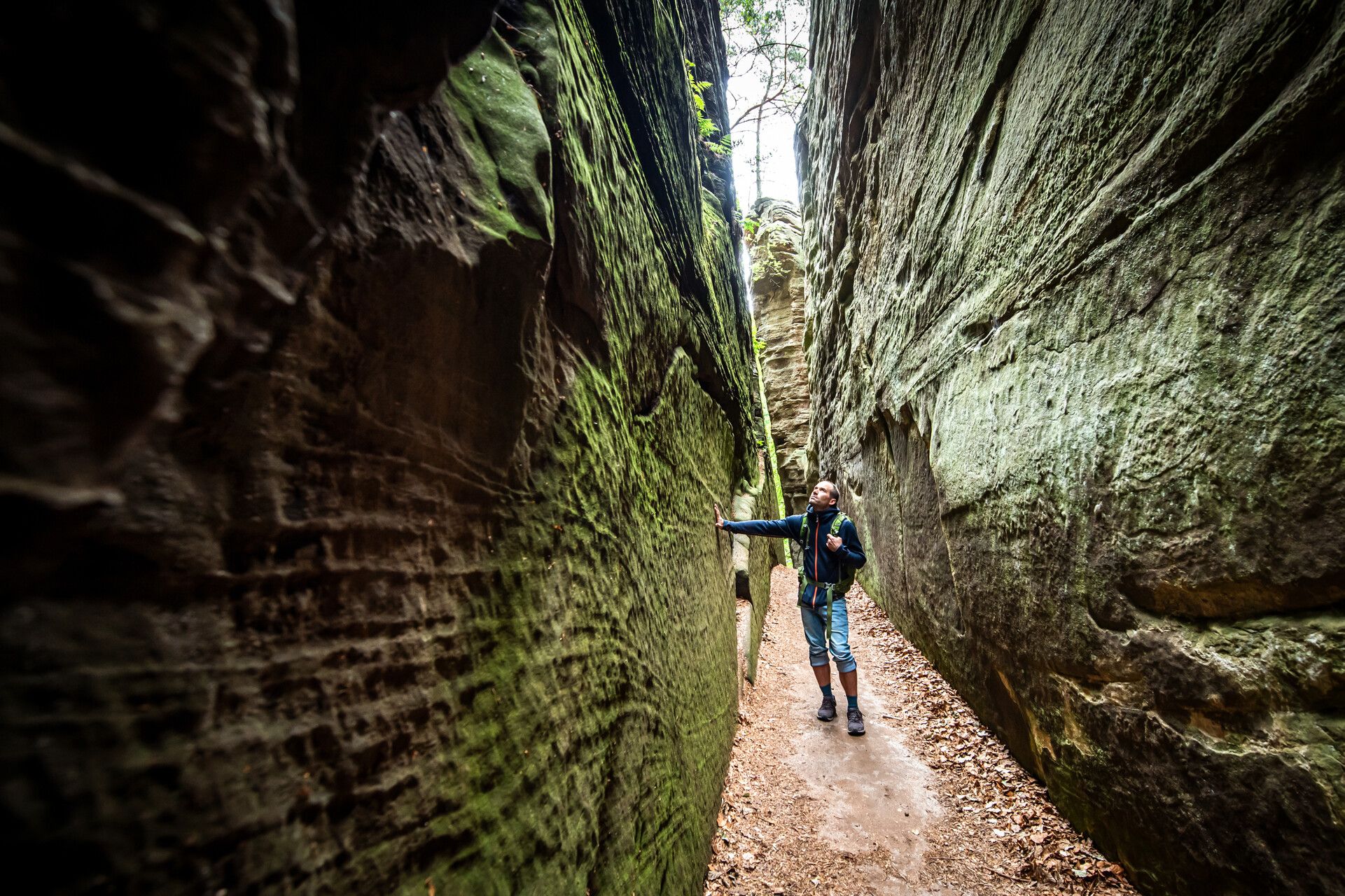
The area along the nature discovery trail Wanterbaach-Siweschlëff in Berdorf is one of the most impressive landscape parts in the Luxembourg sandstone. A thick sandstone layer lies here on clayey marls. Deep vertical clefts divide the sandstone into high towers. At the edge of the plateau, some of these sandstone towers have detached themselves from the rock walls and have slipped or tilted on the slippery clayey marl layer, resulting in narrow rock passages (Schlëffe). Siweschlëff means "seven gorges" and refers to a rock labyrinth of such crevices: between the rock towers there are seven up to almost 30 centimeters wide and up to 20 meters deep ones. A path leads through the narrow and gloomy crevices. A special cool-humid microclimate could form inside, so that the mosses and ferns, for which the region is known, can thrive here.
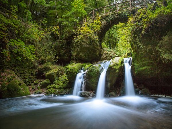
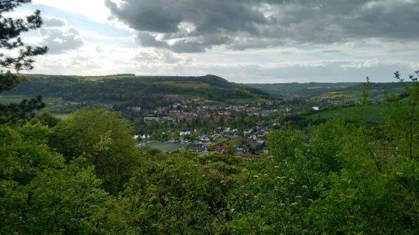
After the narrowness of the gorges, the view across the valley of the Black Ernz opens on the upper edge of the plateau. Pines grow on the sandy soils of the plateau, while beech trees grow on the sandy, loamy debris below. The shallower lower slopes are made of marl, a mixture of clay minerals and limestone, and are mostly used as grassland. This shows the dependence of the vegetation on the geological underground.
On an extra designated part of the rock walls you find the only climbing area of the sandstone landscape, which is reserved for members of climbing associations.
The rocks can be explored on the 4.2 km long local circular route B2. The trail is also part of a NaturWanderPark deluxe tour and the Eifel-Ardennes Trail. In addition, the trail is pervaded as nature discovery trail Wanterbaach-Siweschloeff.
Hike: B2 (1,8 km)
Closest bus stop: Berdorf, Duerfplaz (1,8 km)