Luxemburg Wandeltochten
Wandelroutes in Luxemburg
591 resultaten
©Visit Luxembourg RondwandelroutesRondwandelroute Bertrange
Afstand: 7,31 kmMeer informatie
Duur: 1:49 h
Moeilijkheidsgraad: makkelijk©Visit Luxembourg RondwandelroutesAuto-pédestre wandelroute Itzig
Afstand: 7,51 kmMeer informatie
Duur: 2:05 h
Moeilijkheidsgraad: medium©Guy Krier , Visit Luxembourg RondwandelroutesAuto-Pédestre wandelroute Beckerich
Afstand: 8,60 kmMeer informatie
Duur: 2:35 h
Moeilijkheidsgraad: medium©Visit Guttland, Visit Guttland Thematische routesKinderen & GezinThematische wandelroute Mertzig
Afstand: 4,00 kmMeer informatie
Duur: 1:05 h
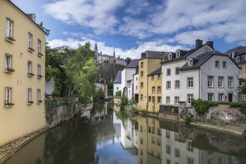
Moeilijkheidsgraad: makkelijk©Visit Luxembourg Insider tipUNESCO Wandeling - Luxemburg Vesting en oude stadsdelen
Afstand: 3,39 kmMeer informatie
Duur: 1:47 h
Moeilijkheidsgraad: makkelijk©ORT Sud RondwandelroutesAuto-Pédestre Rondwandelroute Rumelange I
Afstand: 8,89 kmMeer informatie
Duur: 2:25 h
Moeilijkheidsgraad: medium©Jeniska Photography, Visit Guttland Guttland.TrailsKinderen & Gezin HondvriendelijkGuttland.Trail Aarnescht
Afstand: 9,50 kmMeer informatie
Duur: 2:35 h
Moeilijkheidsgraad: makkelijk©Visit Luxembourg RondwandelroutesRondwandelroute Uebersyren
Afstand: 5,06 kmMeer informatie
Duur: 1:20 h
Moeilijkheidsgraad: makkelijk©Visit Luxembourg RondwandelroutesKinderen & GezinLokale wandelroute - B11
Afstand: 2,85 kmMeer informatie
Duur: 0:45 h
Moeilijkheidsgraad: makkelijk©Visit Éislek, Visit Éislek RondwandelroutesSchilderachtigLokale wandelroute WI 4 - Wiltz
Afstand: 6,53 kmMeer informatie
Duur: 2:00 h
Moeilijkheidsgraad: makkelijk