Rondwandelroutes Visit Luxembourg
Beschrijving
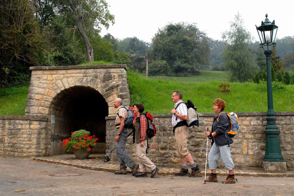
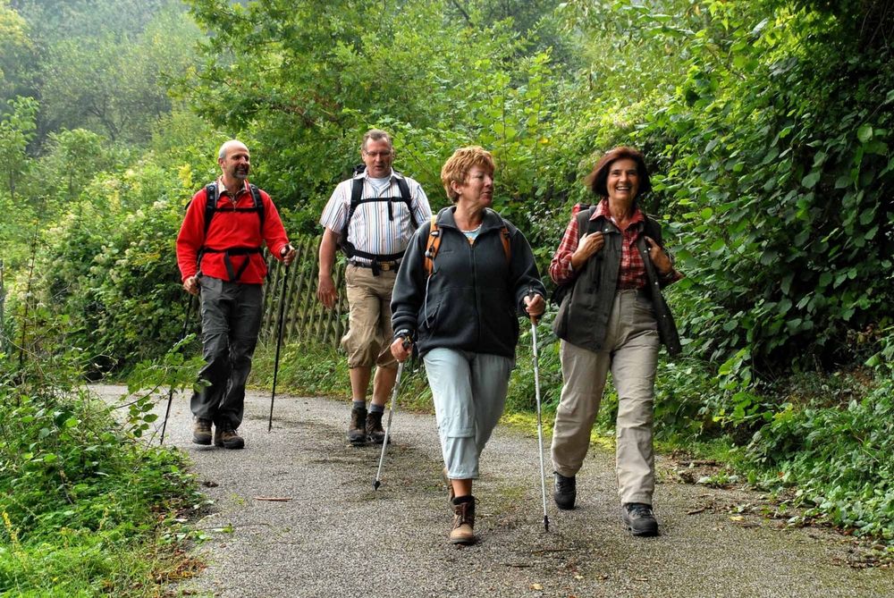
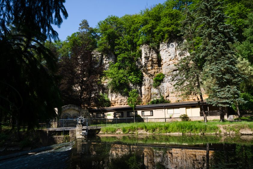
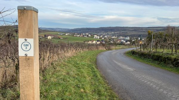
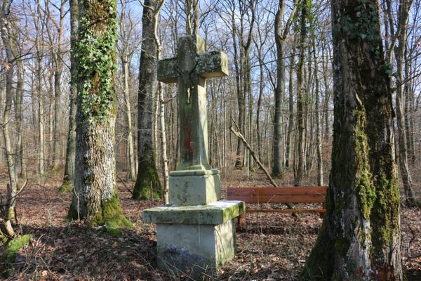
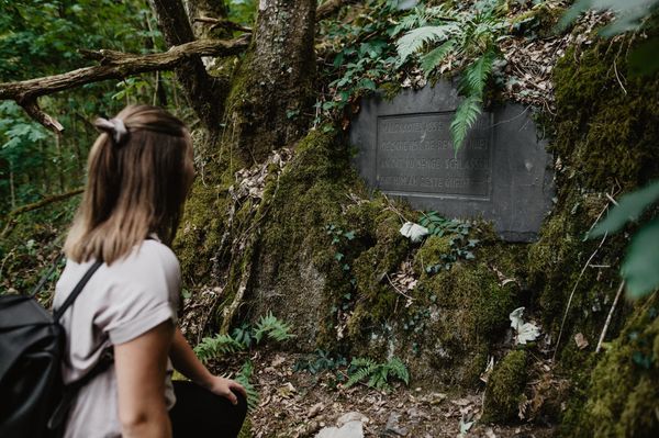
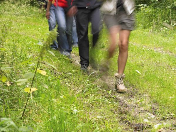
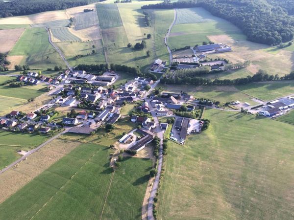
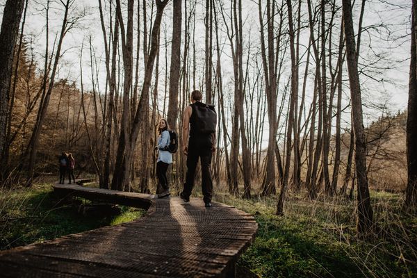
Auto-pédestre wandelroute Itzig
Veiligheidsaanwijzingen
Weersomstandigheden zoals nattigheid, ijs en wind kunnen een tocht bemoeilijken. De gegeven informatie heeft betrekking op optimale omstandigheden.
Uitrusting
Stevige schoenen en iets te drinken.
Aankomst
Openbaar vervoer:
Maak gebruik van het gratis openbaar vervoer en reis klimaatvriendelijk met bus en trein.


 Deze website maakt gebruik van technologie en inhoud van het Outdooractive Platform.