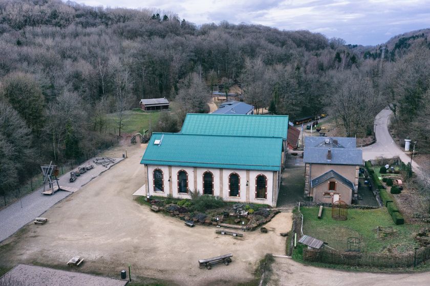
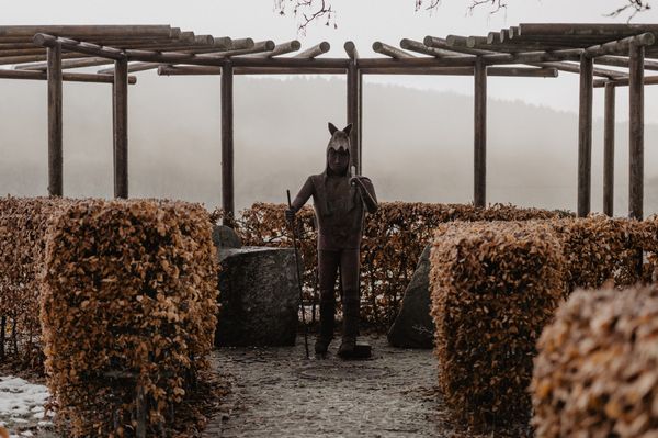
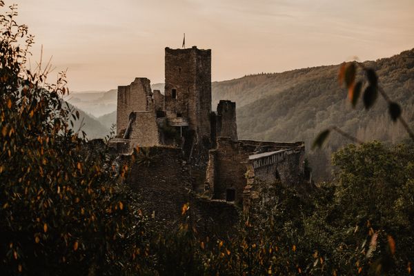
Beschrijving
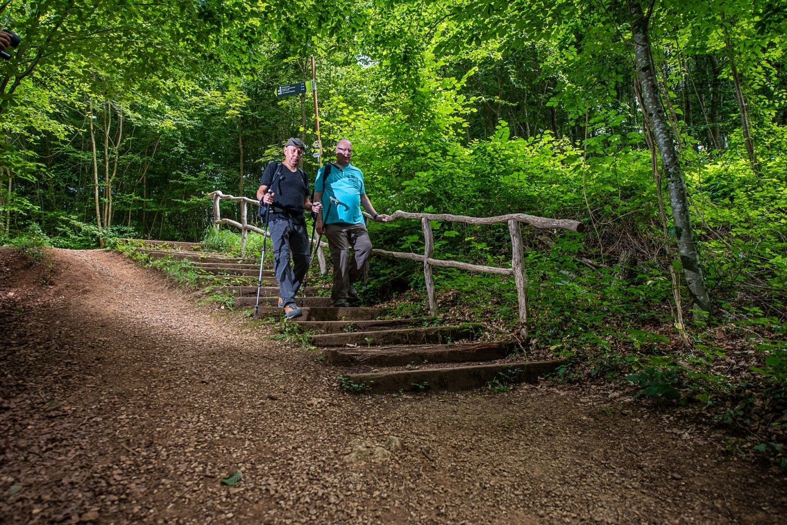
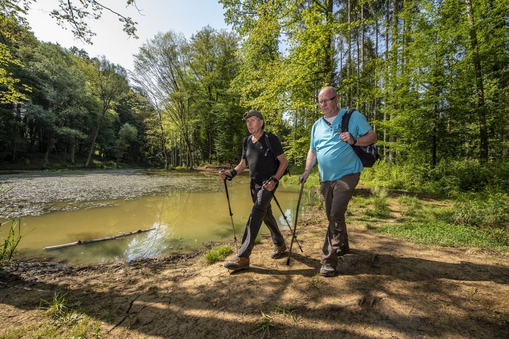
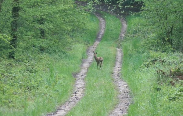
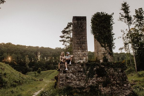
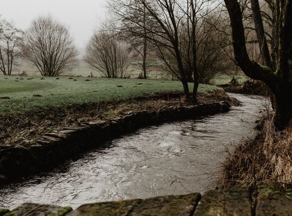
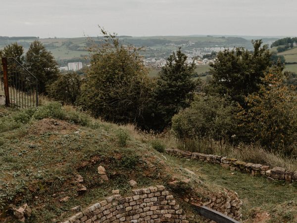
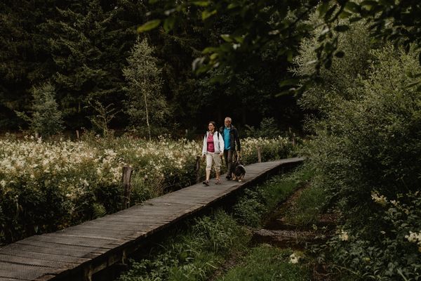
De rondwandelroute gaat door het recreatiecentrum Gaalgebierg naar het dal van het ertsterrein Eisekaul en naar de bosschool. Men volgt het pad, dat deels het nationale wandelpad "Sentier du Sud" volgt, langs de Ellergronn-vijver naar het voormalige ertsmijn J.Cockerill. Op de terugweg komt men weer langs de Gaalgebierg.
Wegbeschrijving
Volg de borden met de blauwe pijl op een witte achtergrond
Veiligheidsaanwijzingen
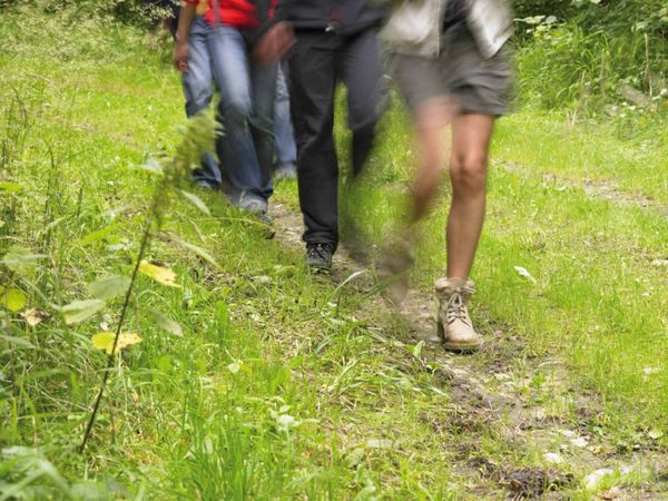
Draag stevige schoenen en kleding die geschikt is voor het weer.
Uitrusting
Zorg voor genoeg te eten en te drinken onderweg
Aankomst
Het wandelpad begint op de "Gaalgebierg", op 15 minuten lopen van het treinstation van Esch-sur-Alzette.
Aankomst:
Neem de A4 richting Esch-sur-Alzette, dan de afrit Esch-sur-Alzette en vervolg richting Kayl/Rodange. Volg daarna de borden "Gaalgebierg"
Parking:
Openbare parkeerplaats beschikbaar in de "rue du Stade" op de "Gaalgebierg"


 Deze website maakt gebruik van technologie en inhoud van het Outdooractive Platform.