
Beschrijving
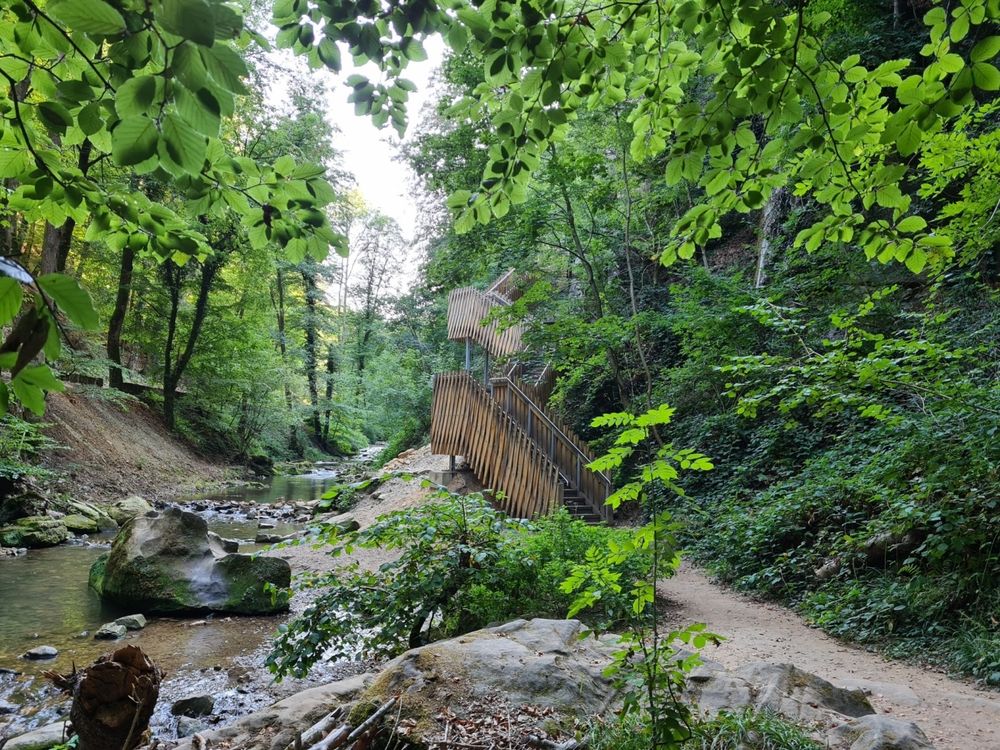
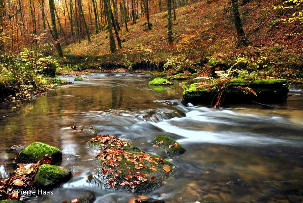
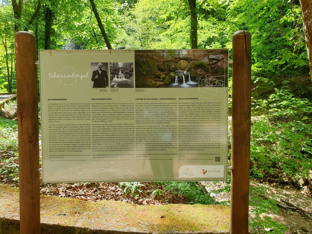
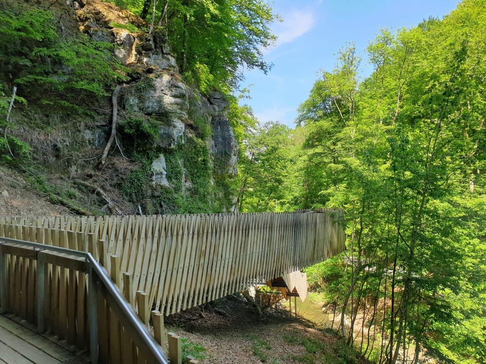
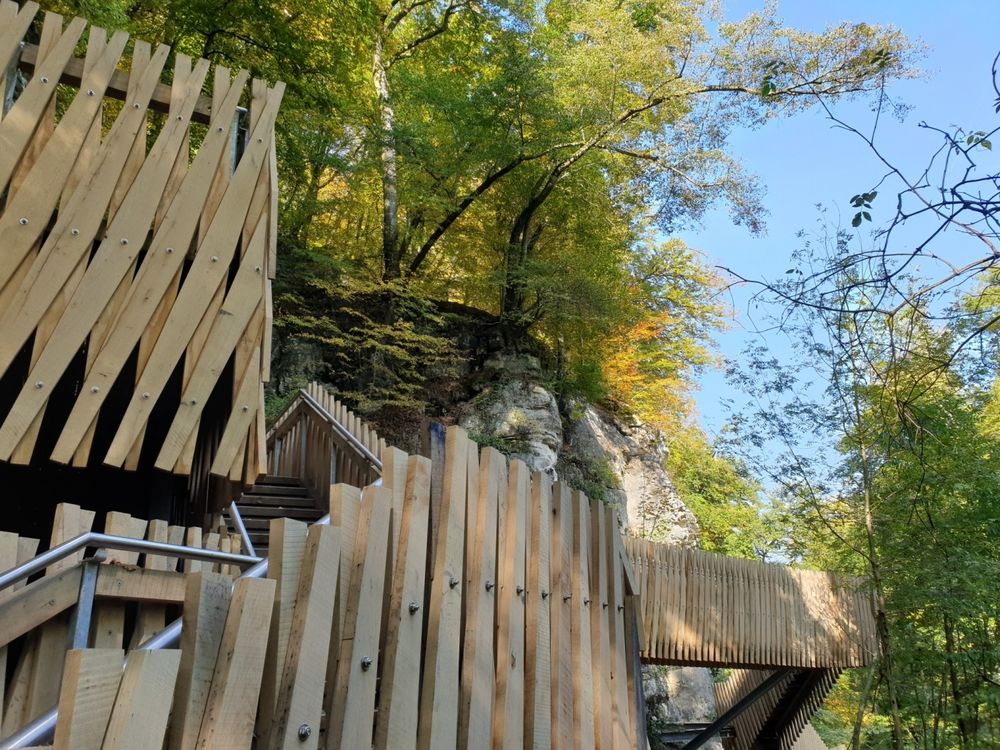
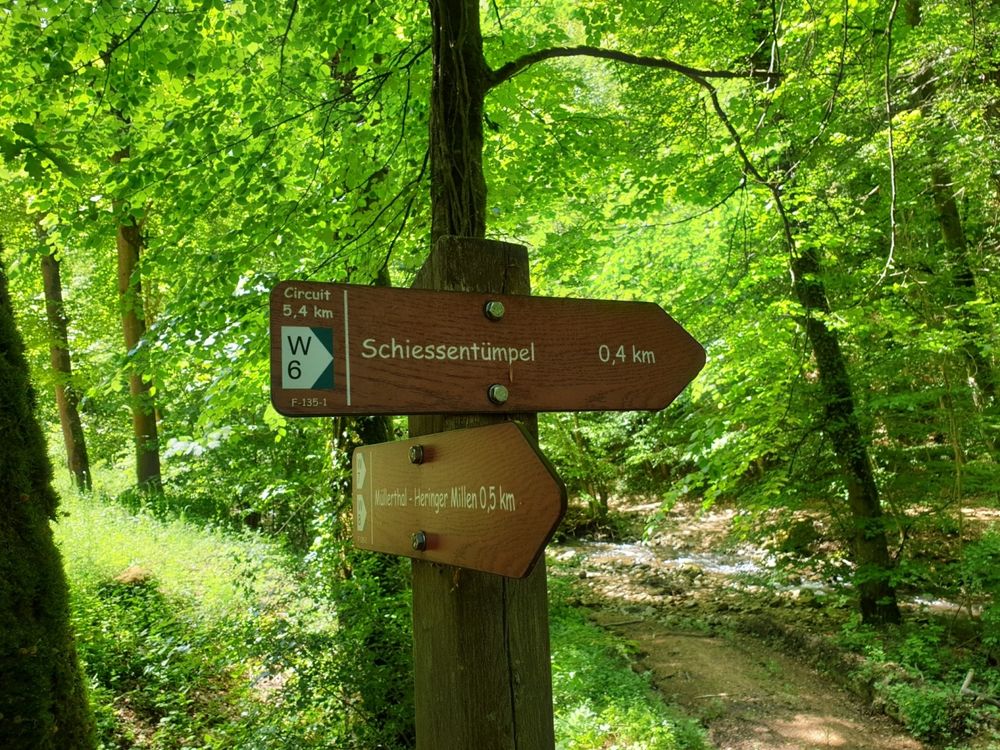
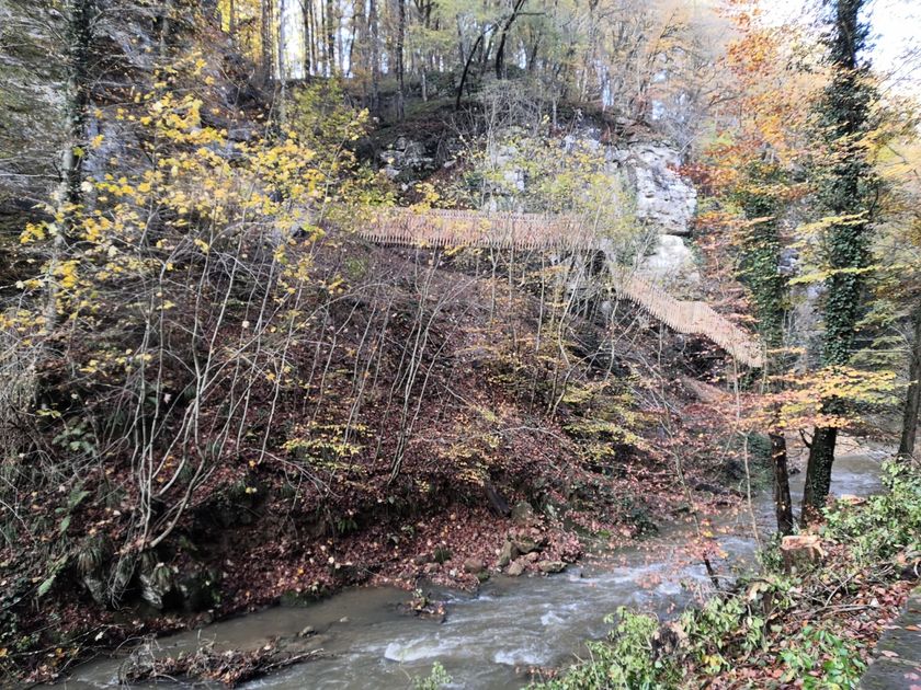
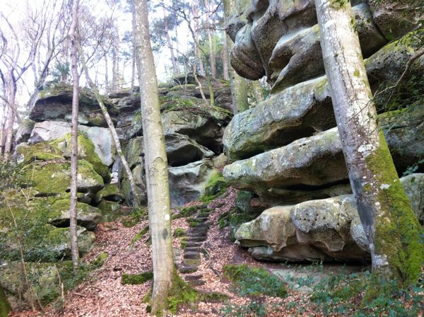
Dit wandelpad brengt u naar het symbool van de regio Mullerthal - Klein Zwitserland van Luxemburg: de Schiessentümpel. Het is de meest populaire excursiebestemming in de regio en kan het beste te voet worden bereikt. Achter de Schiessentümpel staat een moderne trappenconstructie, die is gebouwd om de Schiessentümpel na de zware stormen van 2018 weer toegankelijk te maken.
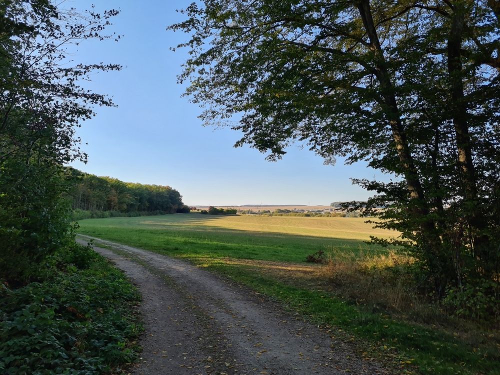
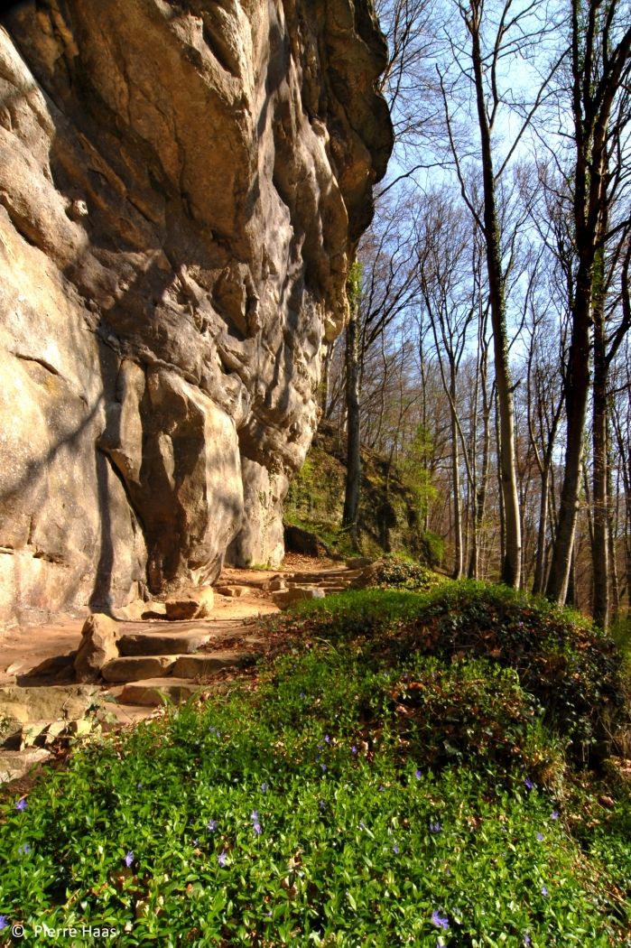
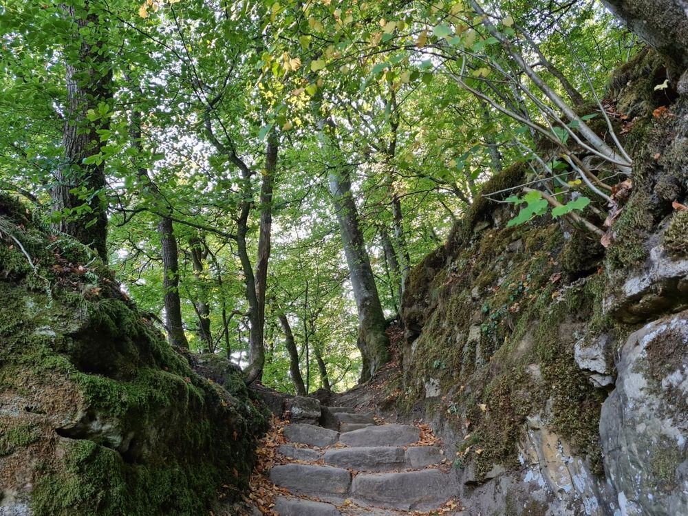
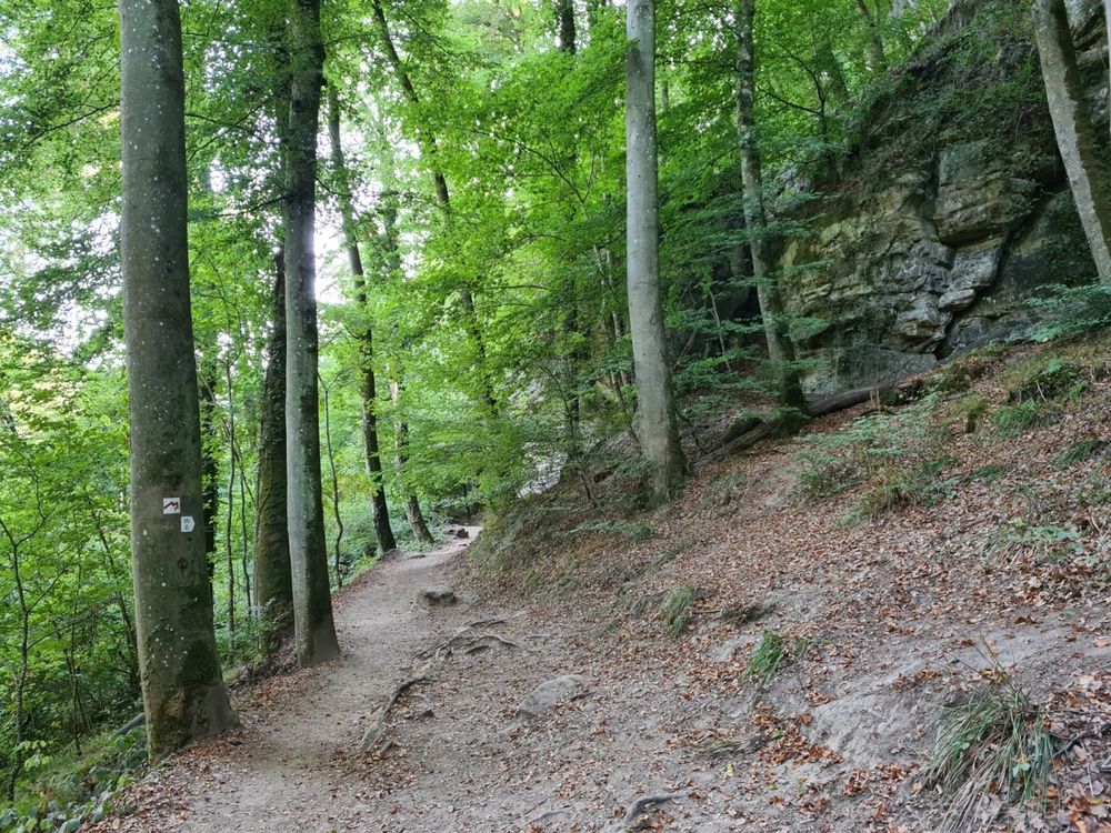
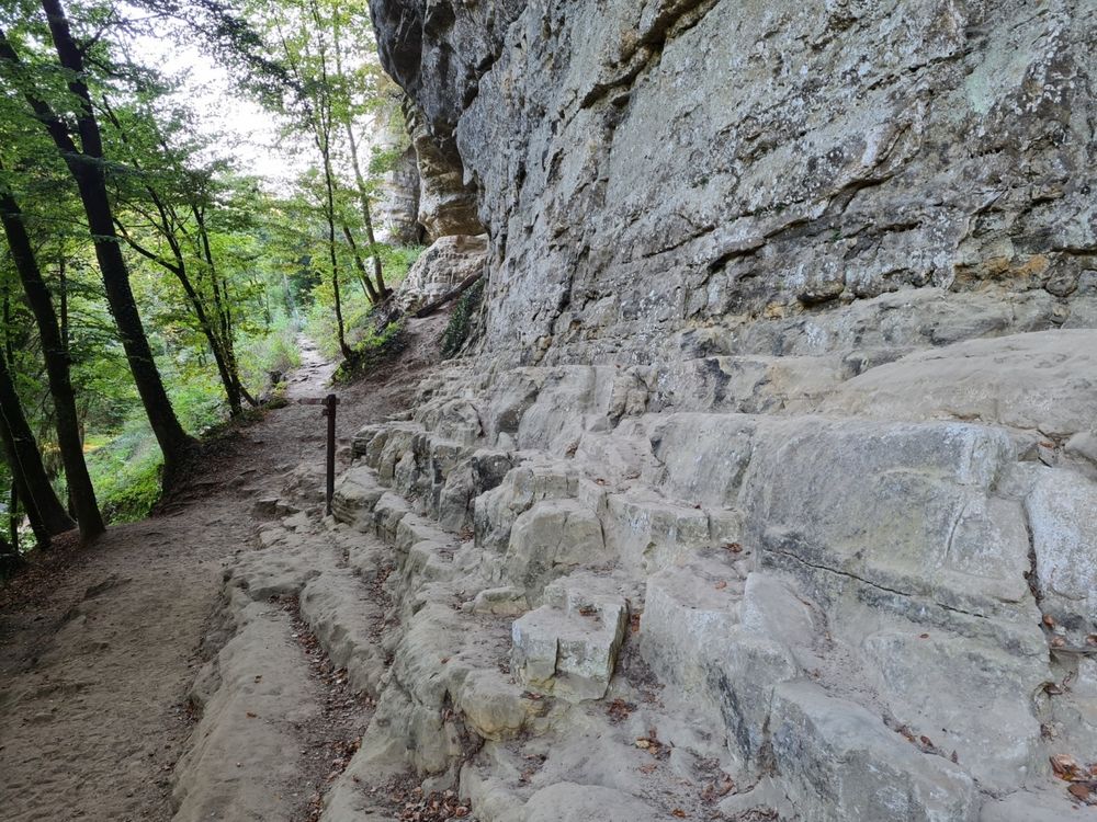
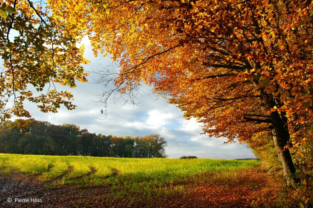
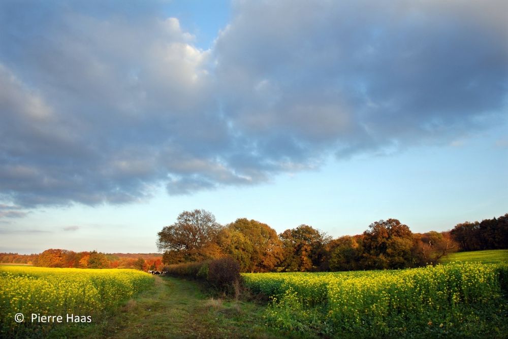
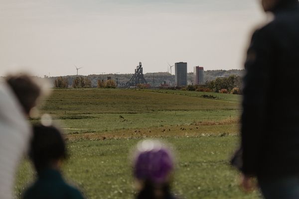
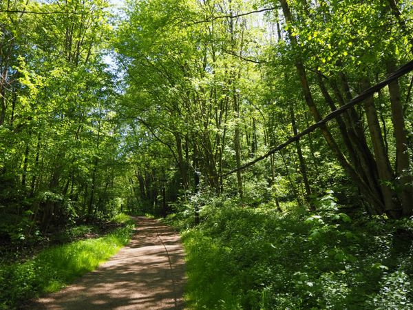
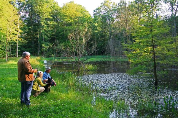
Van daaruit leidt het wandelpad naar het plateau tussen Christnach en Waldbillig, met een weids uitzicht over velden en weiden. Het laatste stuk terug naar het startpunt leidt weer door het bos, langs de imposante zandstenen rotsen die typerend zijn voor de regio Mullerthal - Luxemburgs Klein Zwitserland.
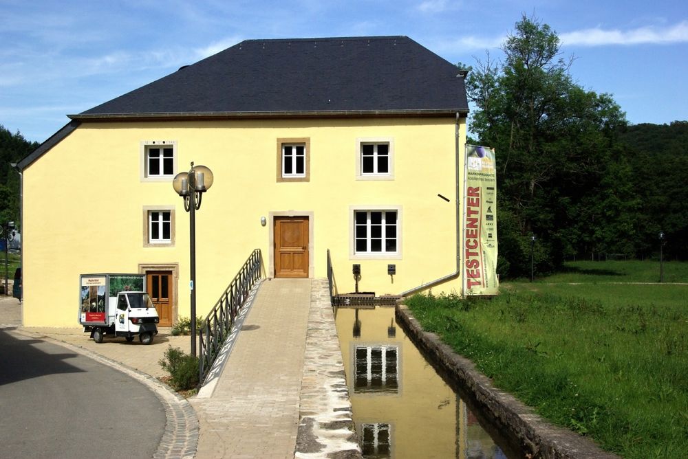
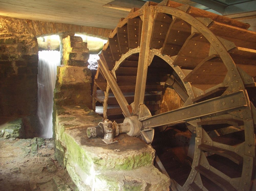
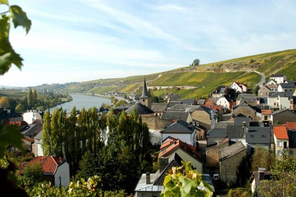
Na de wandeling is een omweg naar het Touristcenter Heringer Millen zeker de moeite waard. De met veel zorg gerestaureerde graanmolen uit de 17e eeuw biedt een ruim assortiment aan regionale producten.
Wegbeschrijving
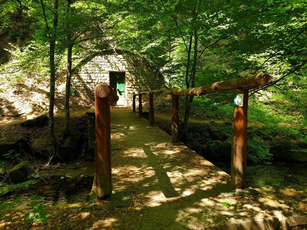
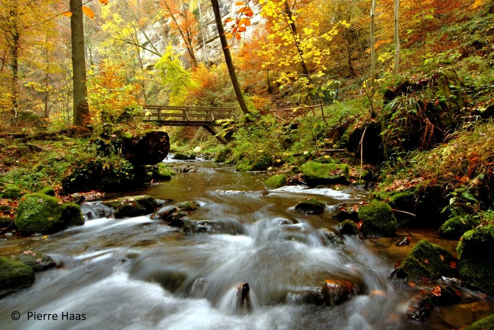
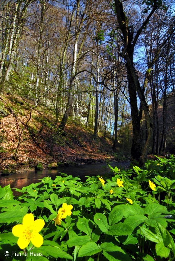
Vanaf het plaatsje Müllerthal loopt het pad langs de beek naar de waterval Schiessentümpel, waarvan het motief tot ver over de grenzen van Luxemburg bekend is met de pittoreske stenen brug over de Zwarte Ernz. Men gaat verder met een rustige klim door het bos naar het plateau tussen Christnach en Waldbillig, waar een weids uitzicht over velden en weiden opengaat, en men eventueel een partij op het golfterrein van Christnach vervolgen kan. Op smalle paden leidt de wandeling opnieuw door het bos naar beneden naar het startpunt bij het toeristisch centrum Heringer Millen.
Uitrusting
Stevige wandelschoenen en iets te drinken.
Aankomst
Dichtstbijzijnde bushalte: Müllerthal (150m)
Parking:
Op de gratis parkeerplaats bij de startpunt


 Deze website maakt gebruik van technologie en inhoud van het Outdooractive Platform.