Beschrijving
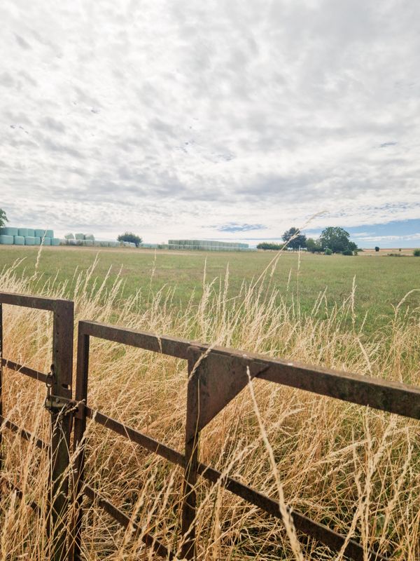
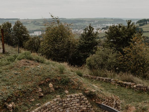
The local hiking trails are marked with the abbreviations of the municipality where they start. The larger the number that the marker symbol contains, the longer the circular hiking trail. See for yourself the variety of local hiking trails and the different features in the Éislek region.
Bewegwijzering

Wegbeschrijving
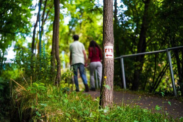
Het wandelpad is gemarkeerd in beide looprichtingen. Volg de wit-blauwe "KI 7" markeringen.
Veiligheidsaanwijzingen
Weersomstandigheden zoals nattigheid, ijs en wind kunnen een tocht bemoeilijken. De gegeven informatie heeft betrekking op optimale omstandigheden.
Uitrusting
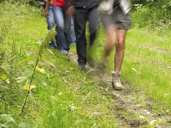
Stevige schoenen en iets te drinken.
Aankomst
Maak gebruik van het gratis openbaar vervoer en reis klimaatvriendelijk met bus en trein.
Dichtstbijzijnde bushalte (100 m): "Am Duerf"
www.mobiliteit.lu
Parking:
Op de gratis parkeerplaats bij de startpunt.


 Deze website maakt gebruik van technologie en inhoud van het Outdooractive Platform.