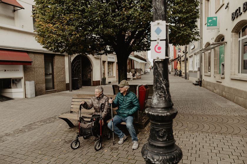
Luxembourg Hiking
Dirbach©Jeniska Photography Hiking map
pdf | 5.60 MBDownload - Hiking map | pdf | 5.60 MBThe foldable hiking map includes a geographic orientation of the country’s walking trails as well as useful information about the activity. It provides an overview of the main hiking offer in Luxembourg, with guidance on where to find more specific information. One map in four languages (DE, FR, EN, NL).

Hiking trails in Luxembourg
5 results
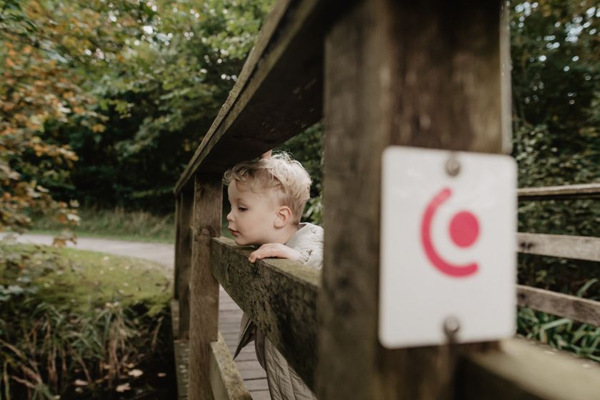
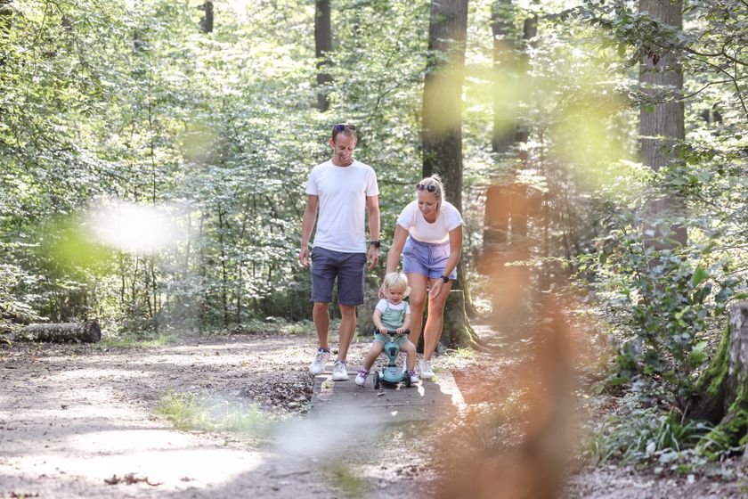
©Jeniska photography, Visit Luxembourg Kids & Family Accessible to all Dog-friendlyEchternach Lake comfort hiking trail
Distance: 3,25 kmFind out more
Duration: 1:15 h
Difficulty: easy©Jeniska photography, DGT Kids & Family Dog-friendlyGrevenmacher comfort hiking route
Distance: 3,46 kmFind out more
Duration: 1:15 h
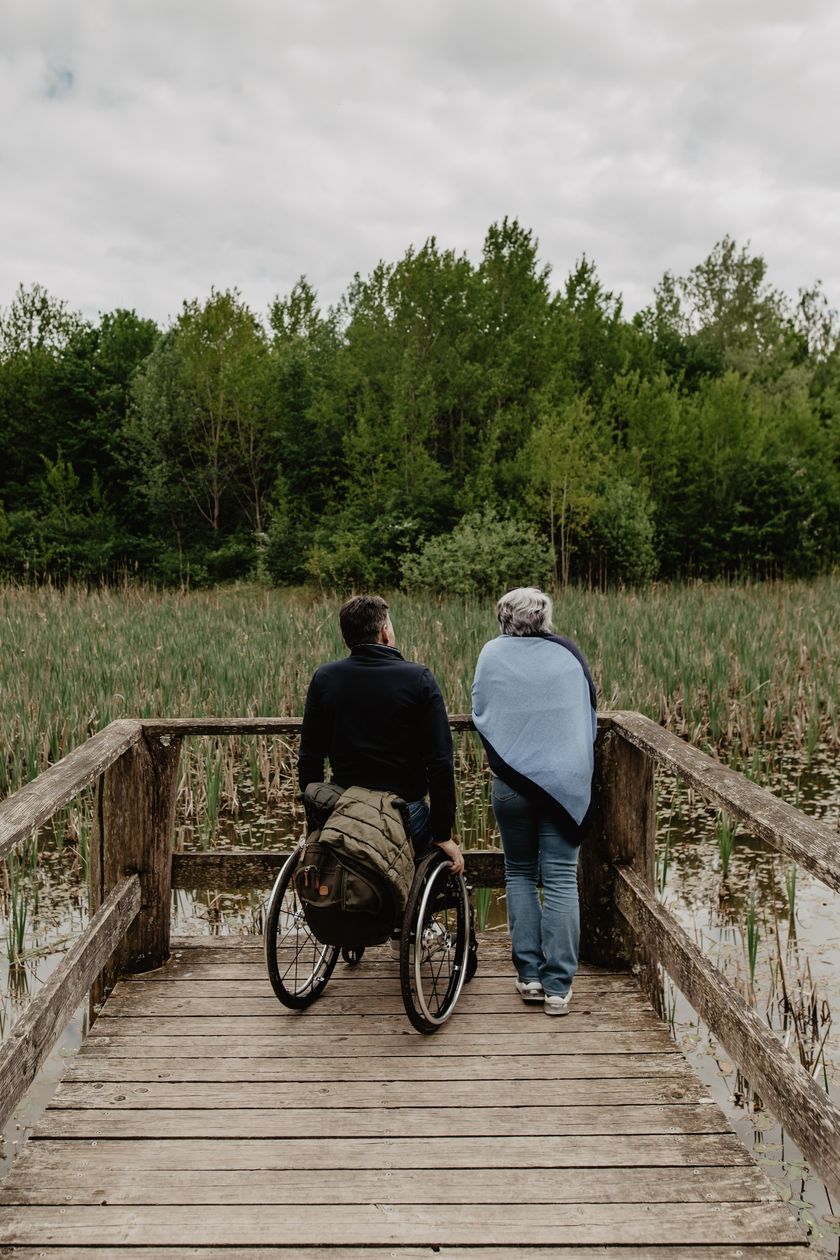
Difficulty: easy©Jeniska photography, DGT Kids & Family Scenic Accessible to all Dog-friendlyComfort hiking trail Redange/Attert
Distance: 2,15 kmFind out more
Duration: 0:40 h
Difficulty: easy©Sophie Margue, DGT Kids & FamilyComfort hiking trail Remich
Distance: 3,97 kmFind out more
Duration: 1:15 h
Difficulty: easy©Sophie Margue, DGT Kids & Family Accessible to all Dog-friendlyComfort hiking trail Bissen
Distance: 3,08 kmFind out more
Duration: 1:00 h
Difficulty: easy