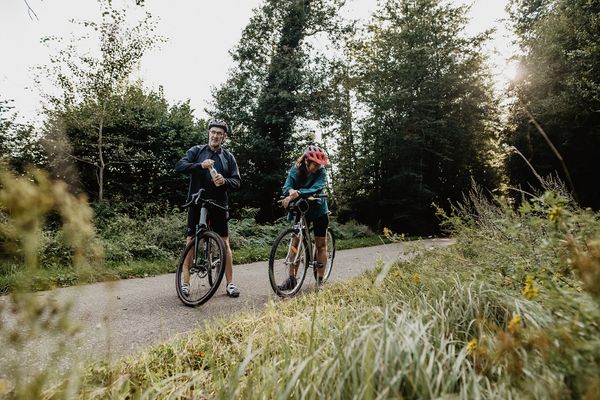
Description
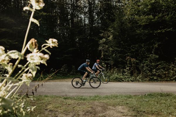
The Ardennes bike path (PC 22) offers you magnificent views over the heights of the Luxembourg Ardennes.
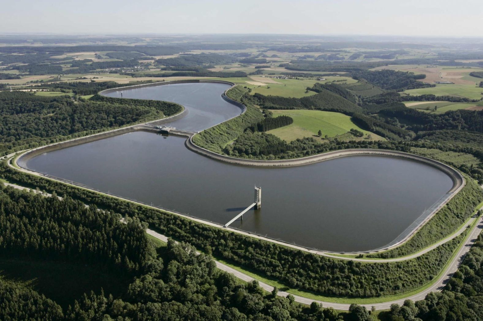
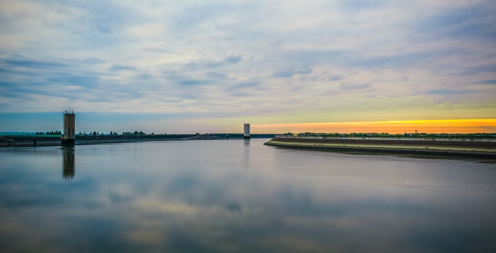
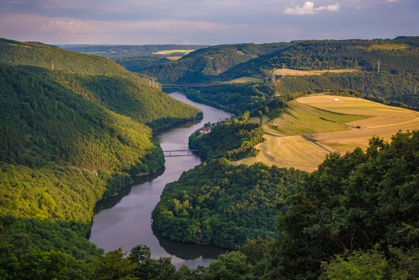
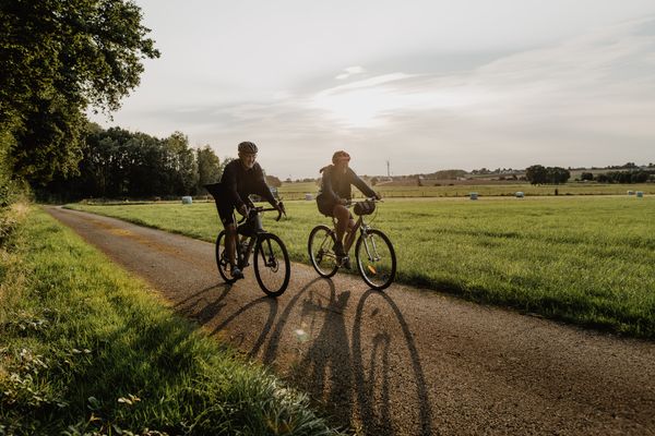
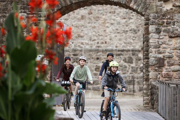
From Lellingen, route 22 climbs the slopes through lush green forests and offers you a magnificent view from above over the surrounding mountain ranges, especially the Eifel in Germany. If you then head towards Vianden, you pass the upper reservoir of the SEO pumped-storage power station, the largest of its kind in Europe. Then it goes downhill to the medieval town of Vianden, which nestles picturesquely at the end of the valley. Here you will find cobbled streets, fortress walls, and an impressive castle.
Directions
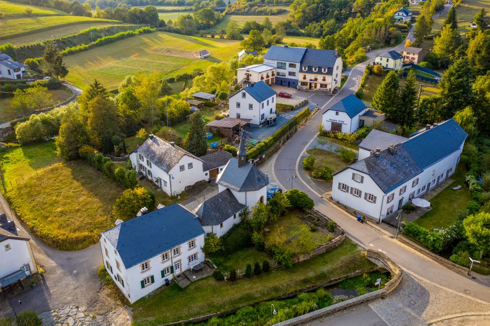
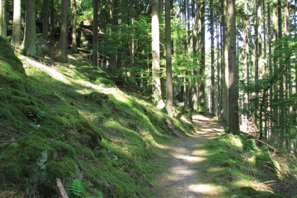
The bike path PC22 starts in the village center of Lellingen at the intersection with PC21 (Northern bike path). PC22 follows the course of the "Lellgerbaach" eastward on the surface of CR323. As soon as it leaves the stream, it enters the forest "Prënzebierg." Here begins the climb to Hosingen Barrière (2.9 km with an elevation difference of 164 m). At the end of the climb, the path turns left and continues on a gentle incline to the intersection with the N7, where it runs along for a few meters before passing through an underpass to the other side of the N7. The trail continues toward the forest "Niklosbësch," where it turns right to cross a small valley and reach the sports center and the central school near the "Wahlhausener Dickt." It ends in the center of "Wahlhausen." At present, and since the connection of the two ends of PC22 could not yet be established, there is no special signage on the described section. The start of the bike path PC22 (PC de l'Oesling), which follows the former route of the so-called "Benni" narrow-gauge railway, is located in Bettel on "Rue du Cimetière," which also represents the lowest point of this bike path (233 m). In Bettel is also the connection to the bike path PC3 Schengen - Vianden. PC22 climbs towards Fouhren on the old route of the "Benni." Halfway between Bettel and Fouhren, a park with a playground built by the municipality invites you to take a break. In "Schmuelschent," the "Engbaach" merges with the "Hinkelsbaach," which flows into the Our river in Bettel. Fouhren is reached via "Rue Faeschent," and the bike path reaches the highest point of this section at 308 meters. The bike path also meets PC23 coming from Tandel in Fouhren. PC22 continues towards Mont St Nicolas with the upper basins of SEO (Société Electrique de l'Our) via municipal roads and sometimes via CR sections (end of the elevation profile). At the intersection with CR322, there is an opportunity to climb several hundred steps to reach the edge of the basins and enjoy a panoramic view of the German Eifel, the Luxembourg Gutland, and the Ösling. The path then continues towards "Groesteen" and Nachtmanderscheid.
For your safety
Always watch out for roads and obstacles that may cross the bike path.
Equipment
No special equipment is required. Your bicycle must comply with road traffic regulations.
Journey
From Luxembourg station, take the train to Wilwerwiltz station and then the bus to Lellingen.
Getting there:
Follow the signs towards Lellingen.
Parking:
Parking spaces nearby.

 This website uses technology and content from the Outdooractive Platform.