Rumelange

Rumelange

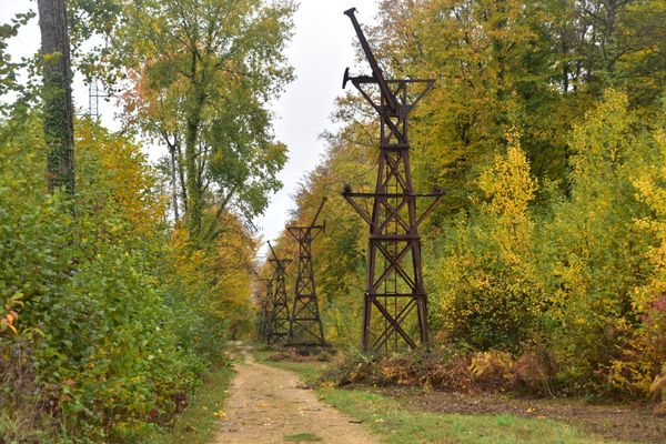
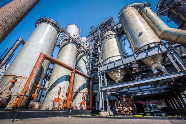
Located in the wooded surrounds of the Kayl Valley, the town of Rumelange has played a major role in the industrial history of the South of Luxembourg.

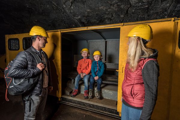
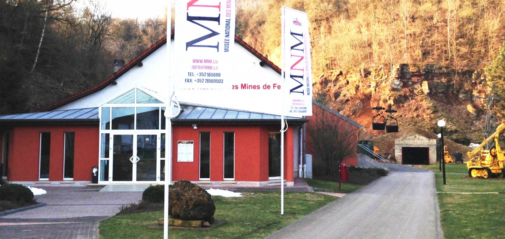
Visit the National Museum for iron or mining and enjoy a unique and breathtaking view of life and work underground.

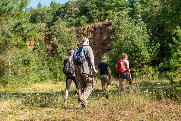
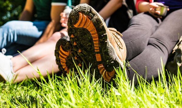
A multitude of footpaths lets you explore the rich nature of the southern region of Luxembourg.

Opening hours

Contact

Address: Rumelange
L-3739 Rumelange
Show on map

Places to see


No image available
Circular routes
Lokaler Wanderweg "Fitness & Promenades 2" (Green)
Distance: 4,81 km
Duration: 1:15 h
Difficulty: medium
Find out more

No image available
Circular routes
Local hiking trail "Fitness & Promenades 4" (red)
Distance: 4,80 km
Duration: 1:15 h
Difficulty: medium
Find out more

No image available
Circular routes
Local hiking trail "Fitness & Promenades 7" (black)
Distance: 12,84 km
Duration: 3:30 h
Difficulty: difficult
Find out more
©Spektrum
Spektrum
SPEKTRUM is a venue focused on experiential and immersive process-based cultural and artistic practices and creative tourism.
Find out more

No image available
Circular routes
Local hiking trail "Fitness & Promenades 6" (gray)
Distance: 12,46 km
Duration: 3:25 h
Difficulty: difficult
Find out more

No image available
Circular routes
Lokaler Wanderweg "Fitness & Promenades 1" (yellow)
Distance: 1,74 km
Duration: 0:30 h
Difficulty: medium
Find out more

No image available
Circular routes
Local hiking trail "Fitness & Promenades 5" (Brown)
Distance: 11,13 km
Duration: 3:05 h
Difficulty: difficult
Find out more
©Musée National des Mines
free
with theLuxembourgPass
National Mining Museum
Life underground
Find out more

No image available
Circular routes
Local hiking trail "Fitness & Promenades 3" (Blue)
Distance: 5,70 km
Duration: 1:35 h
Difficulty: medium
Find out more