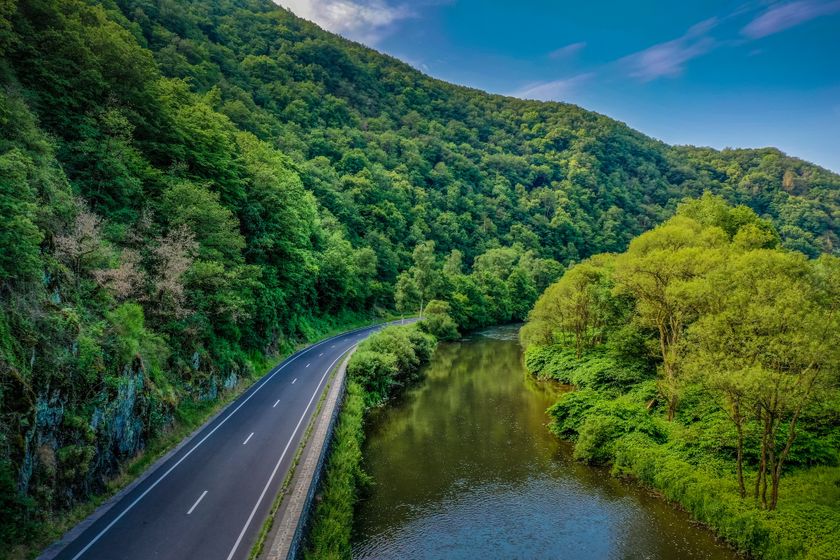
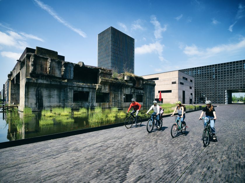
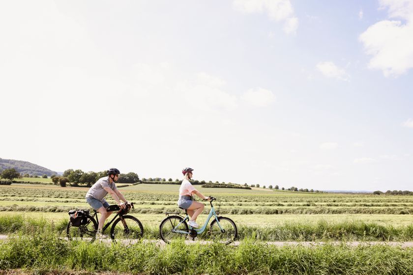
Luxembourg Cycling
Biking map
pdf | 8.63 MBDownload - Biking map | pdf | 8.63 MBThe foldable biking map includes a geographic orientation of the country’s cycle paths as well as useful information about the activity. It provides an overview of the main cycling options in Luxembourg, with guidance on where to find more specific information. One map in four languages (DE, FR, EN, NL).

131 results
©Visit Éislek, Visit Luxembourg Duerch de Waark- an de Sauerdall (G) 08.08 + 09.08 - Vëlosummer 2026
Distance: 24,70 kmFind out more
Duration: 2:10 h
Difficulty: easy©Anouk Flesch, Visit Luxembourg Cycling ToursKids & Family ScenicSlow Cycling Guttland - Exploration Lanes
Distance: 47,14 kmFind out more
Duration: 3:45 h
Difficulty: medium©Visit Luxembourg Cycling ToursScenic"Looss d'Kierch am Duerf" Troisvierges - Holler
Distance: 28,63 kmFind out more
Duration: 2:10 h
Difficulty: medium©Visit Luxembourg Cycling ToursLocal bike route “Beauforter Plateau”
Distance: 9,14 kmFind out more
Duration: 1:00 h
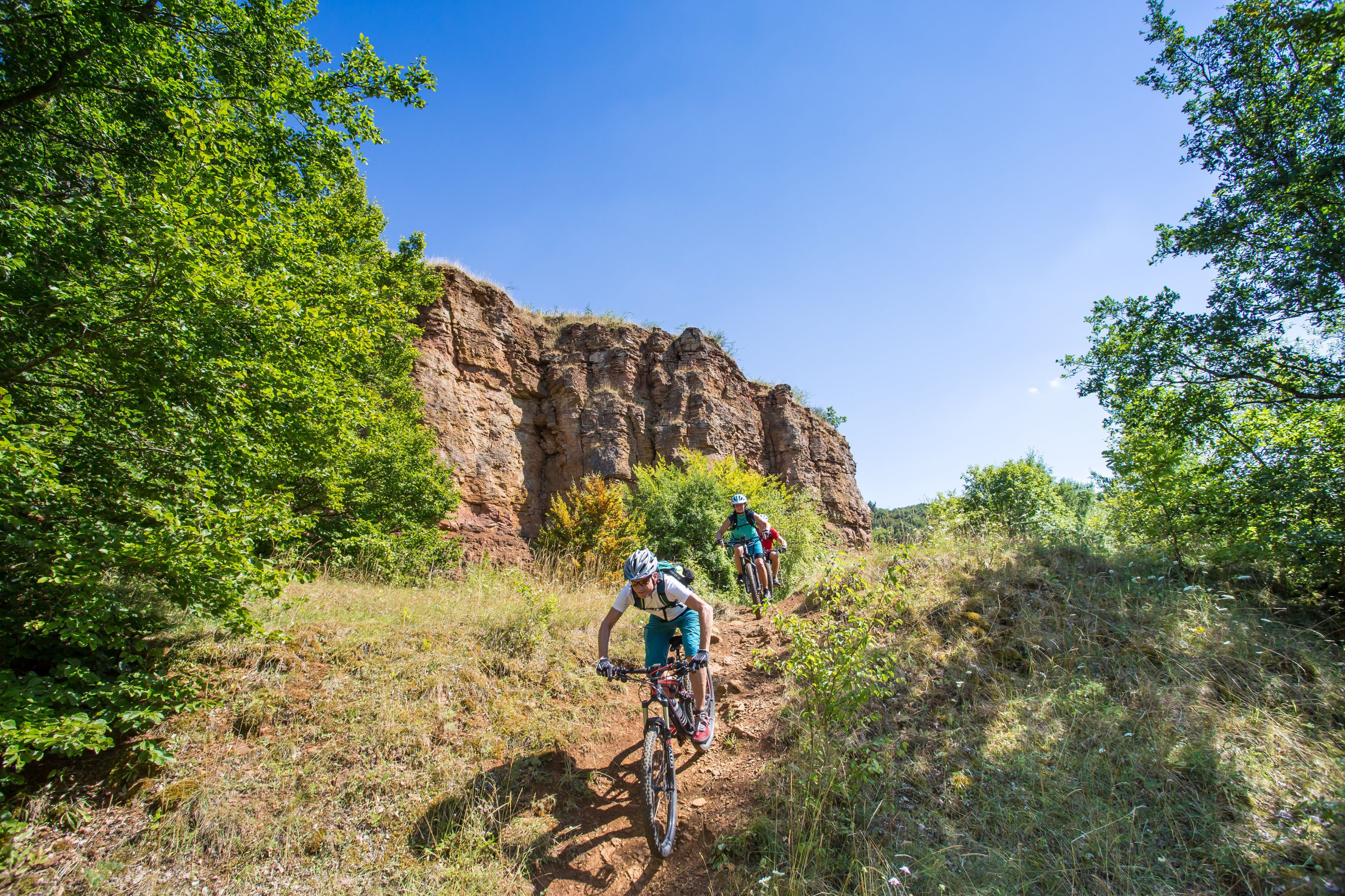
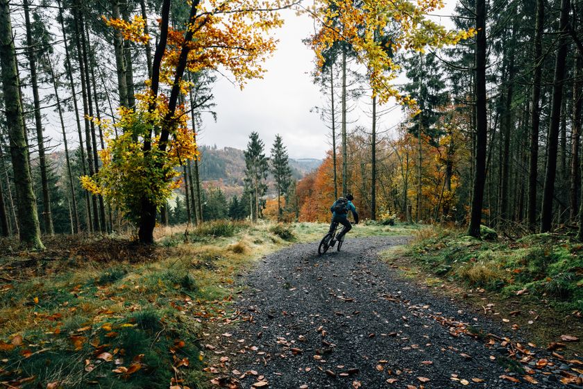
Difficulty: medium©Vincent Frasiak, Visit Luxembourg MountainbikeScenicMountain bike route Hosingen-Lellingen
Distance: 21,72 kmFind out more
Duration: 2:30 h
Difficulty: medium©Visit Luxembourg Fahrradweg de l'Ouest: Noerdange - Arsdorf (PC 17)
Distance: 18,60 kmFind out more
Duration: 1:40 h
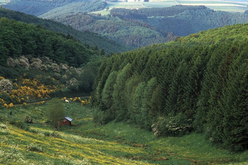
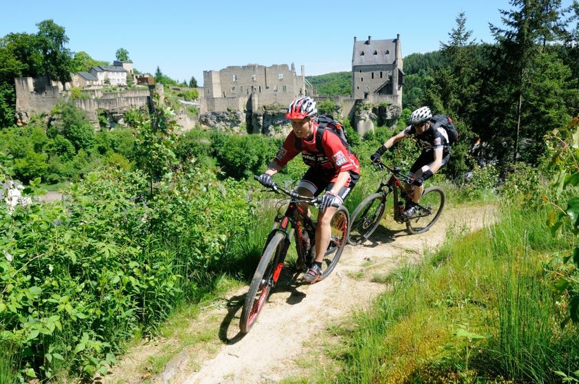
Difficulty: medium©© Ronald Jacobs / ONT, Visit Luxembourg MountainbikeMountain bike route Larochette
Distance: 26,78 kmFind out more
Duration: 4:00 h
Difficulty: difficult©Visit Luxembourg MountainbikeMTB trail Beckerich "Houbierg"
Distance: 5,60 kmFind out more
Duration: 0:45 h
Difficulty: easy©Emile Hengen, Visit Minett Circuit des Terres Rouges (J) 18.07-16.08 - Vëlosummer 2026
Distance: 31,75 kmFind out more
Duration: 2:30 h
Difficulty: medium©Sophie Margue, Visit Guttland Groussen Tour vum Wëlle Westen (E) 01.08.26 + 02.08.26 / 08.08.26 + 09.08.26 - Vëlosummer 2026
Distance: 61,60 kmFind out more
Duration: 4:50 h
Difficulty: difficult
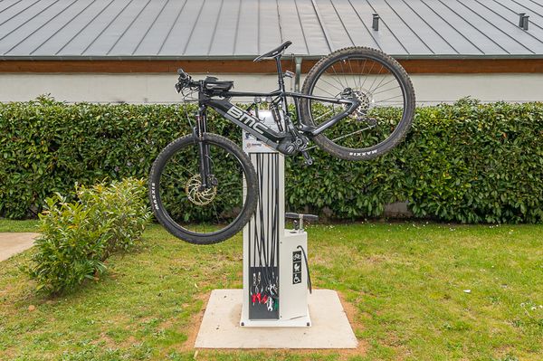
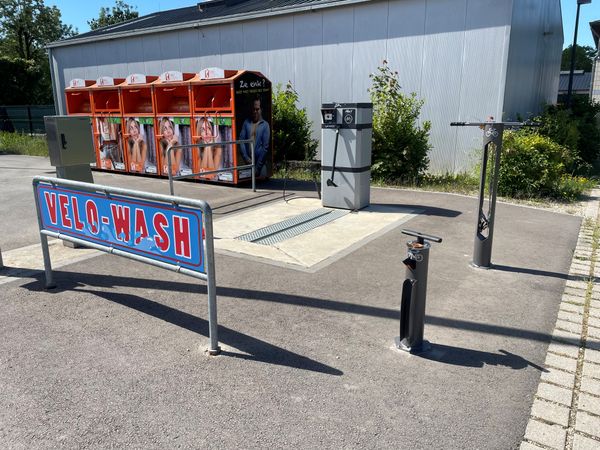
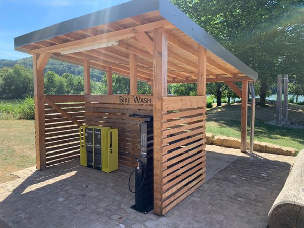
Looking for bike rentals or service stations ?
49 results