Description
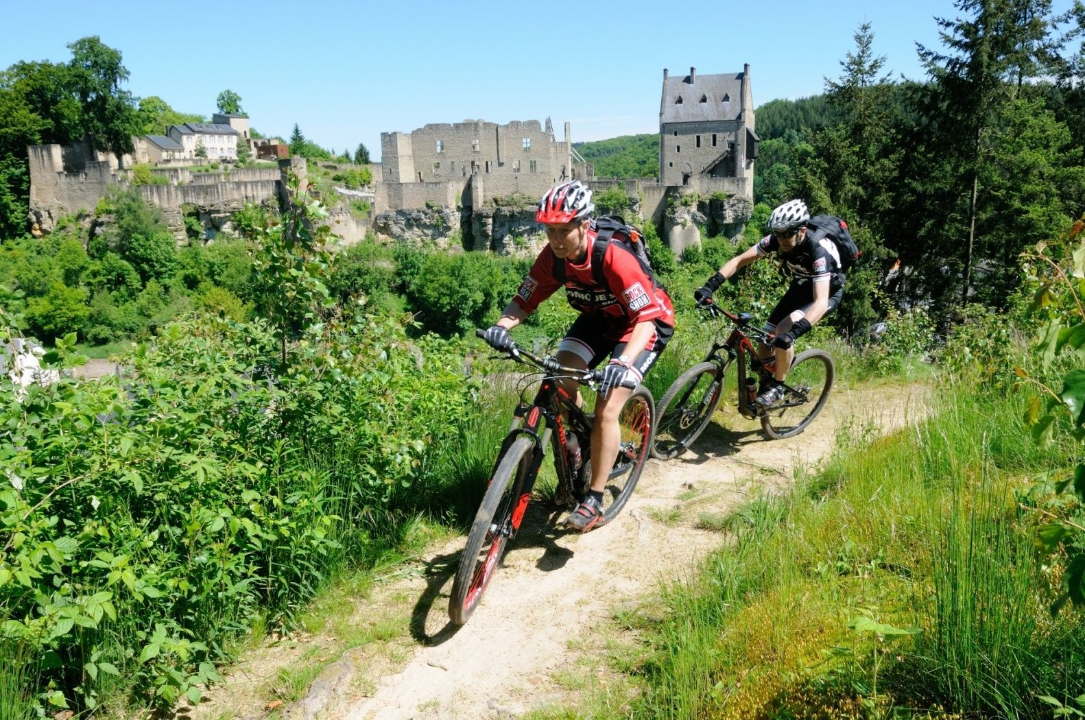
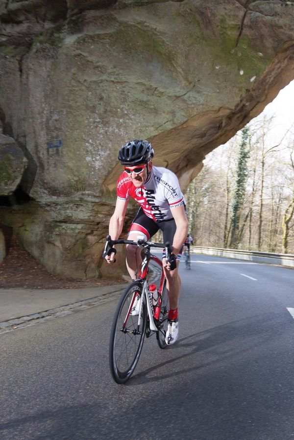
The rather challenging route around the picturesque Larochette has a lot to offer both scenically and in terms of riding technique.
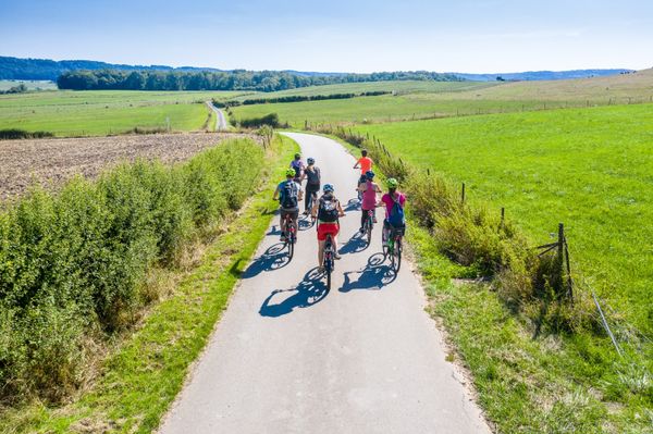
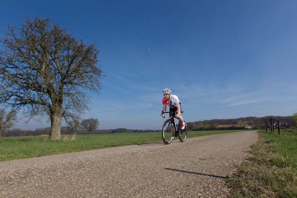
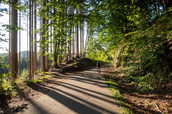
The rather challenging route around the picturesque Larochette offers a lot both in terms of scenery and riding technique. Numerous short climbs and some technically demanding sections give this route a particularly sporty character.
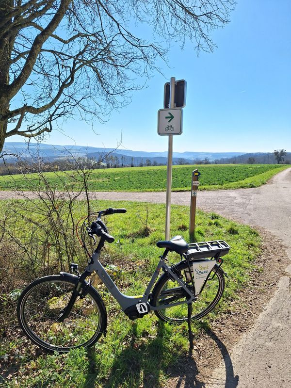
The route is marked only in one direction.
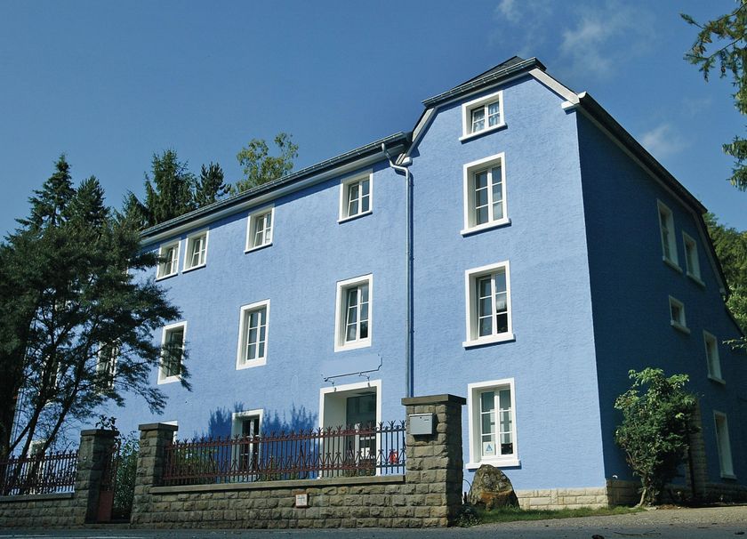
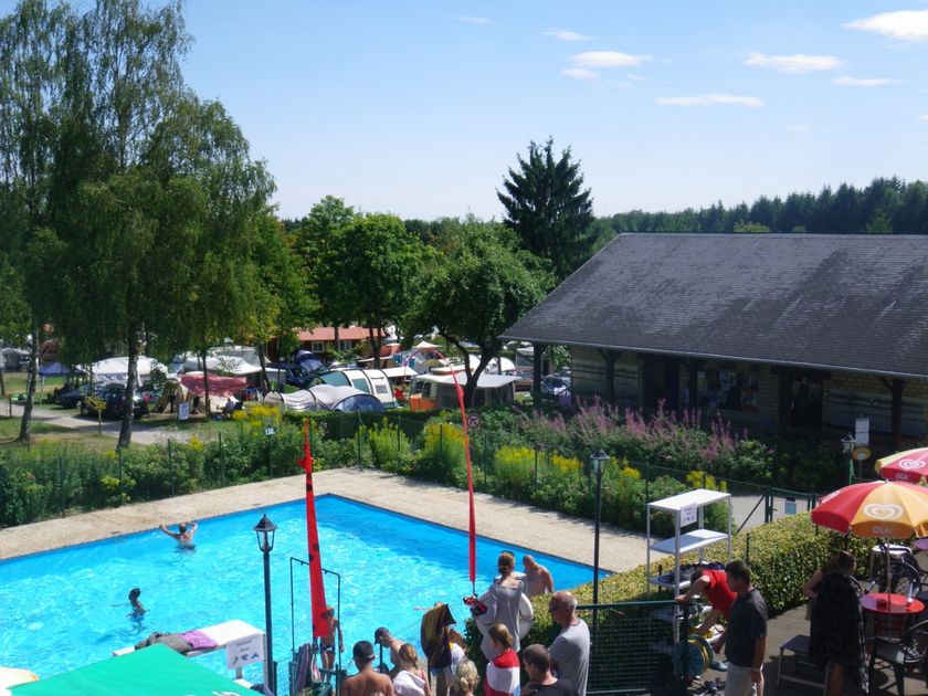
Start: Larochette Youth Hostel, but the route also passes the "Auf Kengert" campsite, which would be an alternative starting point.
Directions
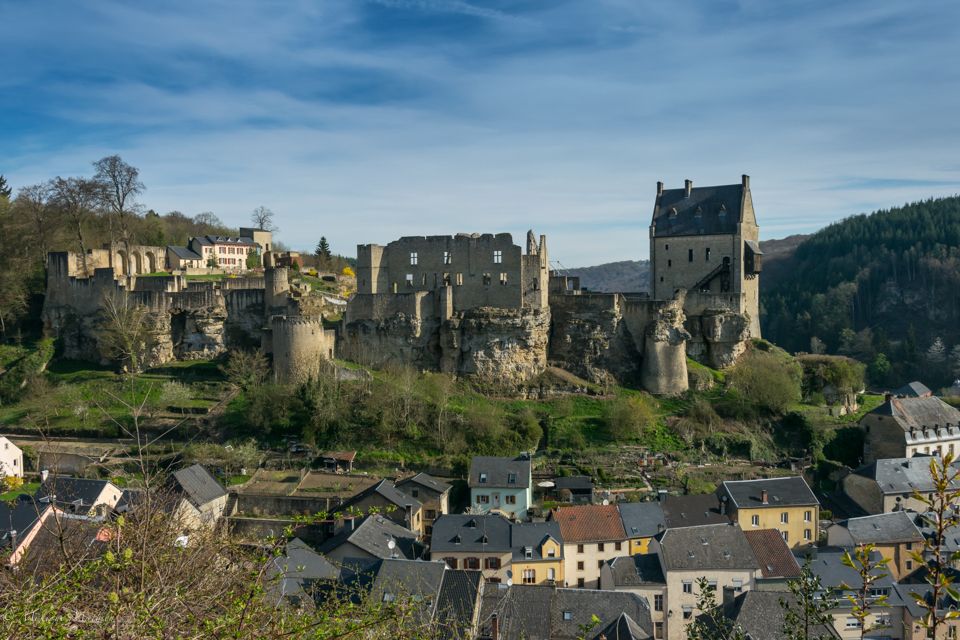
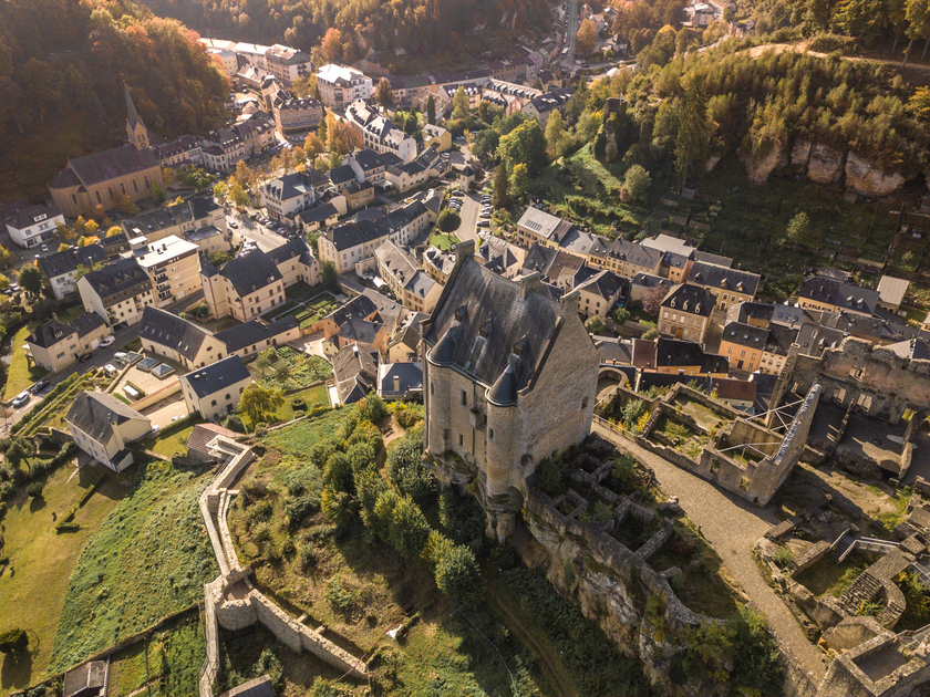
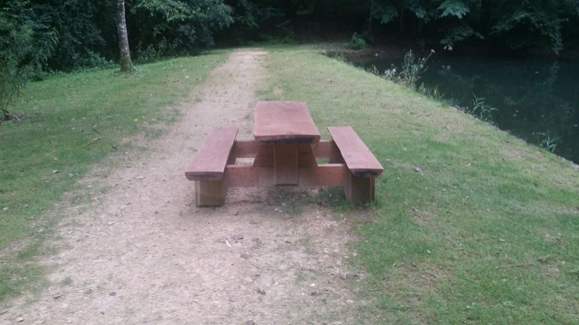
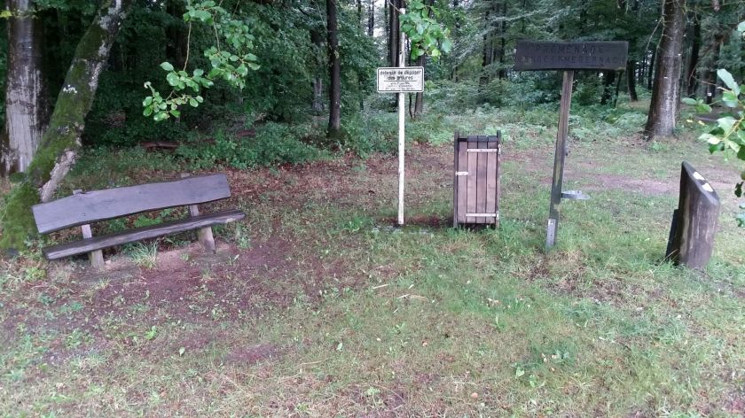
From the starting point at Larochette Youth Hostel, the route goes through the valley, past the pond, up onto the plateau. At the Auf Kengert campsite, it goes a short distance (70 meters) along the road and then turns right, first along the forest edge and then again into the forest up to Larochette Castle. From there, the trail leads along the other side of the hill to Verluerekascht with a nice view of the castle. After the Birkelt Village campsite, the Goldbaach is crossed and then it goes down to Meysembuerg Castle. Through the valley of the Manzebaach, it returns to the valley of the White Ernz, where the river is crossed. Along the slopes east of Larochette, it goes back to the starting point.
For your safety
- Make sure your equipment is in good condition. Take a repair kit with you.
- Pedestrians have the right of way. Ride slowly and dismount if necessary.
- Stay on the marked trails and obey prohibitions.
- Keep your speed under control and be ready to brake when crossing paths.
- Ride slower in settlements.
- Do not cut corners.
- Be considerate of plants and animals.
- Take your trash with you.
Equipment
Wear a helmet and appropriate protective gear.
Journey
By bus to Larochette.
Parking:
Free parking is available in the center of Larochette.


 This website uses technology and content from the Outdooractive Platform.