Description
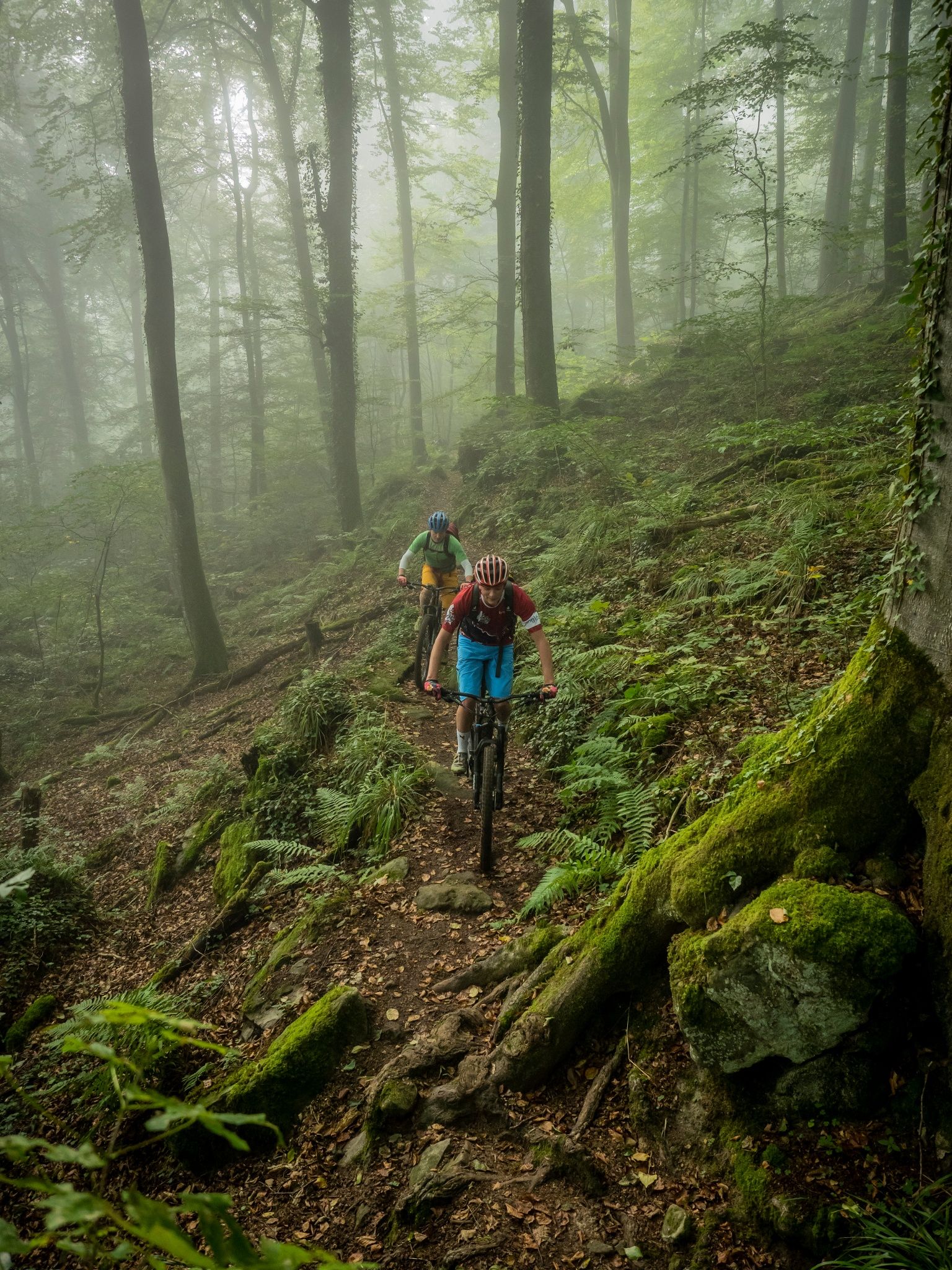
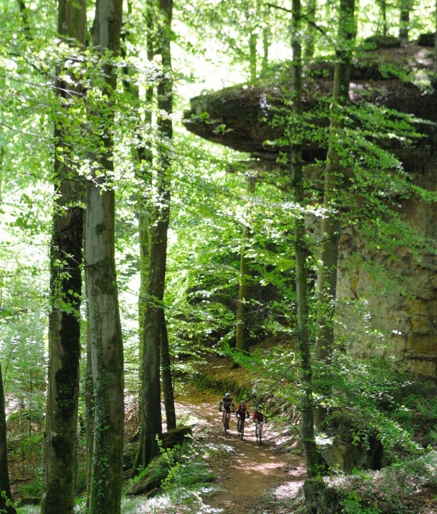
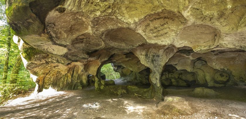
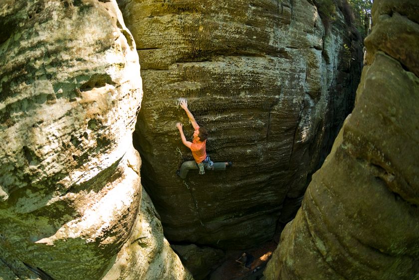
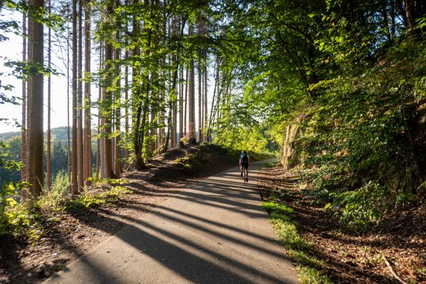
The route around the high plateaus of Berdorf and Beaufort runs on paths through bizarre rock formations.
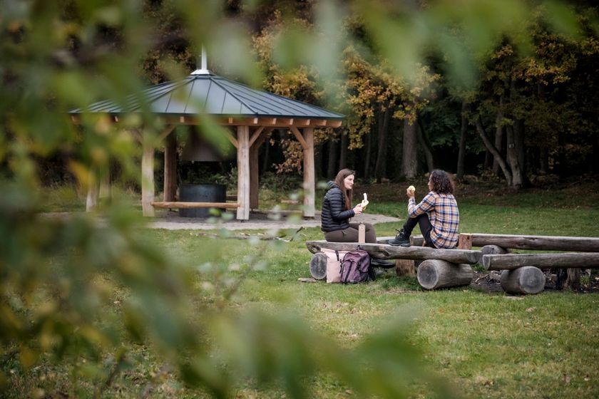
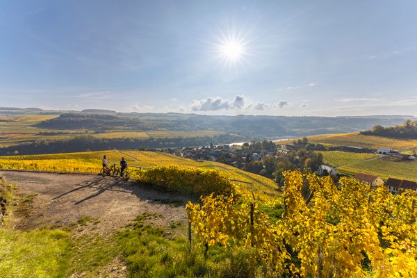
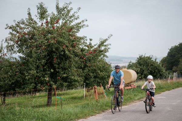
The moderate route around the high plateaus of Berdorf and Beaufort runs on paths through bizarre rock formations. Sporty ups and downs and beautiful views of the Sauer Valley will make any biker's heart beat faster.
The track is marked in only one direction.
Start:
(1) Berdorf, Camping Maartbësch
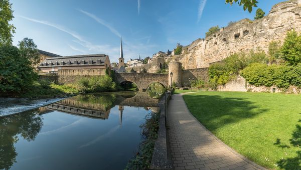
(2) Beaufort, Church
Directions
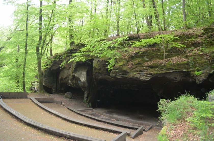
From Camping Martbusch in Berdorf, the MTB trail initially runs through Berdorf and then into the forest, past the stone amphitheater and Huel Lee. It passes the Birkelt farm, then back into the forest and along the Sauer river. For the second, western part of the route, it goes back into Berdorf, then down into the valley of the Black Ernz, which is crossed at Vugelsmillen. Then it proceeds through the valleys of Halerbaach and Haupeschbaach uphill to Beaufort, through the town, and then down into the Haupeschbaach valley again. At the end of the forest, it returns to open countryside, where the route crosses Route d'Eppeldorf and Route de Reisdorf. Afterwards, it continues for a longer distance again through the forest above Dillingen before entering the nature reserve "Saueruecht" and descending into the Sauer valley at the small village of Grundhof. From there, the route climbs steeply one last time back to Camping Martbusch in Berdorf.
The route can alternatively also be started in Beaufort at the church.
For your safety
- Make sure your equipment is in good condition. Bring a repair kit.
- Pedestrians have priority. Ride slowly and dismount if necessary.
- Stay on marked trails and observe prohibitions.
- Control your speed and be ready to brake when crossing paths.
- Ride slower in towns.
- Do not cut corners.
- Respect plants and animals.
- Take your trash with you.
Equipment
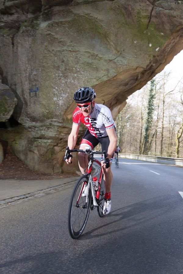
Wear a helmet and appropriate protective gear.
Journey
By bus to Berdorf or Beaufort.
Parking:
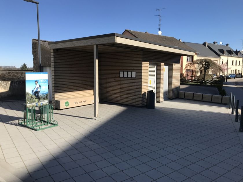
Free parking available at Camping Martbusch in Berdorf and in the center of Beaufort.


 This website uses technology and content from the Outdooractive Platform.