

Description
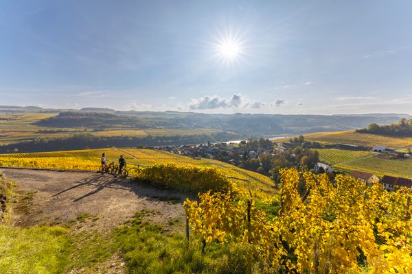
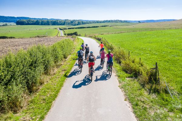
A large part of the route follows the signposted cycling tour “Velo Pomarium” and offers a combination of vineyards and river landscapes, lush green orchards, forests and rolling agricultural countryside.
One of the highlights of this tour is the country’s lowest point, “Op der Spatz”, located at 132 metres above sea level, near Wasserbillig and exactly where the Sauer River flows into the Moselle.
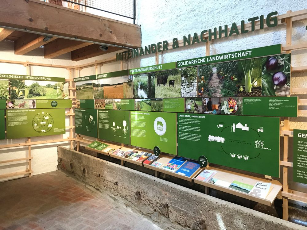
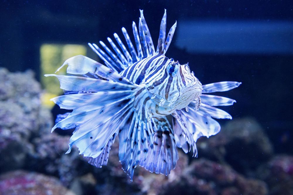
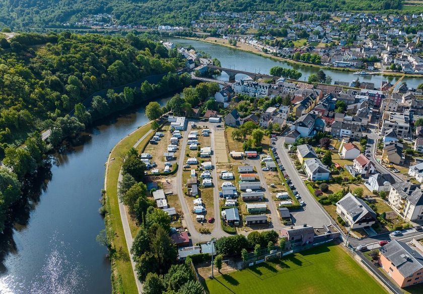
Other attractions include the nature conservation centre “A Wiewesch” in Manternach, the English Park and the harbour in Mertert, as well as the aquarium in Wasserbillig.
Direct access to the general Vëlosummer map on Geoportail: https://g-o.lu/3/COfIv
Directions
Please follow the Vëlosummer signposting.
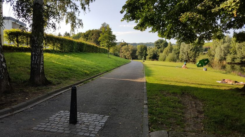
From Mertert, the route leads through the park towards the Moselle, then follows the PC 3 along the river to Wasserbillig. In Wasserbillig, keep following the PC3 cycle path (“3 Rivers Cycle Path”) along the Sauer River to the end of the village of Wasserbillig. Please be careful when crossing the main road N10 / route d’Echternach. The route then continues along the route d’Echternach back into the village and then into rue du Bocksberg / CR141. Once at the top, continue along “Am Härewengert” to Mertert (rue de Mompach). Cross through the “Cité Al Mauer” and then take the sharp turn into “Rue Widderbierg”, over the motorway bridge and towards the forest, where you will join the signposted cycling tour “Velo Pomarium”. Follow this route until shortly before Lellig, where the route descends below the “Häs” forest into the village. There you will rejoin the “Velo Pomarium” and follow the signposting to Berbourg. Via “Bréicherstrooss”, continue to Boudler (Buddler), where you will once again join the signposted “Velo Pomarium” cycling route, which leads through Biwer, Wecker, Manternach and Munschecker back to the starting point in Mertert.
For your safety
Even on roads with traffic calming, always follow the highway code and be aware that residents and tractors might cut across your route.
Roads closed to traffic (open only for cyclists and residents) from 25 to 26 July and from 1 to 2 August:
CR139 Manternach-Schorenshaff 2,5km
CR139 Lellig-Herborn 2,5km
Equipment
Make sure your bike is safe to ride. Always carry a spare inner tube, tyre levers and a pump. A helmet and good lighting are also important. Don't forget to take a water bottle and a basic tool kit for minor repairs. Bring suitable clothing and food.
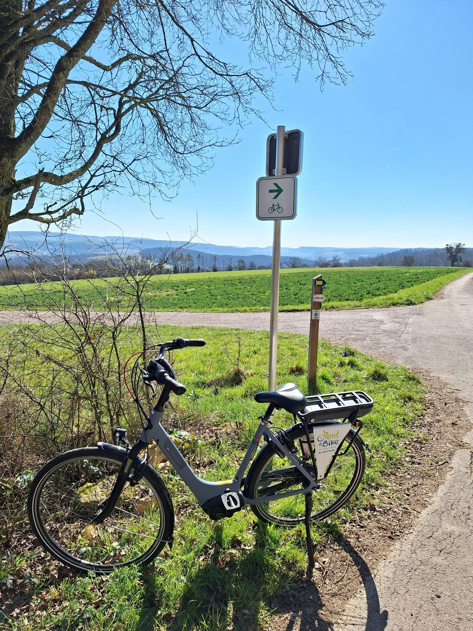
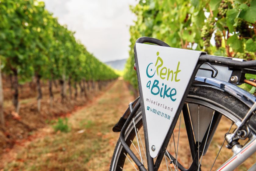
You do not own a bike or do not want to transport yours? Bike hire is available for this tour. Have a look at the map of the route to find all available rental options and conveniently submit your reservation request. Alternatively, contact our partner, who has bikes in Wasserbillig or Wasserbillig-Pont, directly: RentaBike miselerland - www.rentabike-miselerland.lu - (+352) 26 74 63 88 8 - info@rentabike-miselerland.lu
Mandatory booking in advance!
Journey
Take the bus or train to the station in Wasserbillig.
The use of public transport is free of charge. Bicycles can be transported in the designated areas of trains and regional buses (but spaces may be limited during peak hours). Plan your trip and find public transport schedules at www.mobiliteit.lu. Train timetables can be viewed at www.cfl.lu.
Parking:
Parking Mertert

 This website uses technology and content from the Outdooractive Platform.