Himmelsbierg
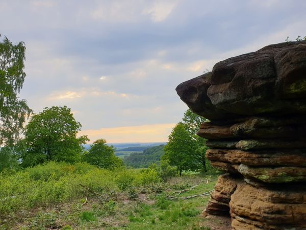
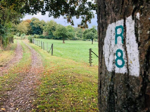
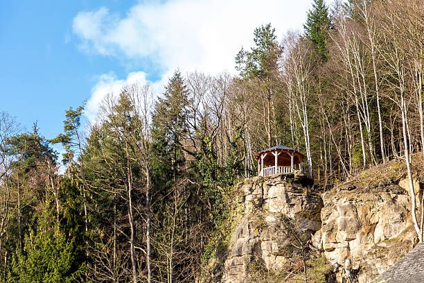
High above Larochette, the Himmelsbierg is a picturesque viewpoint offering hikers beautiful views over the town and the impressive ruins of Larochette Castle. The viewpoint is part of several hiking trails around Larochette and can be reached, among others, via the local “Auto-Pédestre Larochette” hiking trail.
High above Larochette, the Himmelsbierg is a picturesque viewpoint offering hikers beautiful views over the town and the impressive ruins of Larochette Castle. The viewpoint is part of several hiking trails around Larochette and can be reached, among others, via the local “Auto-Pédestre Larochette” hiking trail. The trail winds through the wooded hills above the town, offering beautiful views of the surrounding landscape along the way. One of the highlights is the view of Larochette and its castle ruins, rising majestically above the valley. The combination of wooded hillsides, the historic castle and the town below makes the Himmelsbierg a special viewpoint along the hiking trails around Larochette. The name Himmelsbierg, meaning “Heavenly Hill”, is particularly fitting for this location: after making the climb, hikers are rewarded with a wide and atmospheric panorama. The official circular hiking trail around Larochette also recommends a detour to the Himmelsbierg, describing the view from here as another “heavenly” panorama. Whether as a short detour during a hike or as part of a longer tour, the Himmelsbierg offers a wonderful opportunity to discover Larochette from a different perspective and enjoy the surrounding landscape at your own pace.