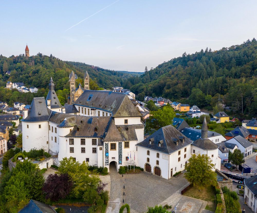
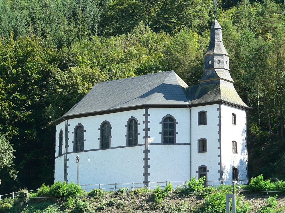
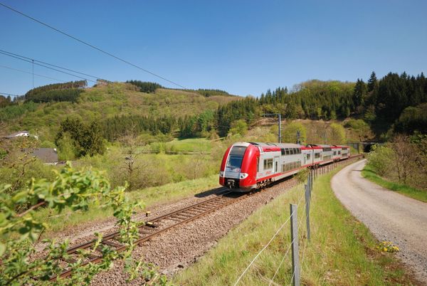
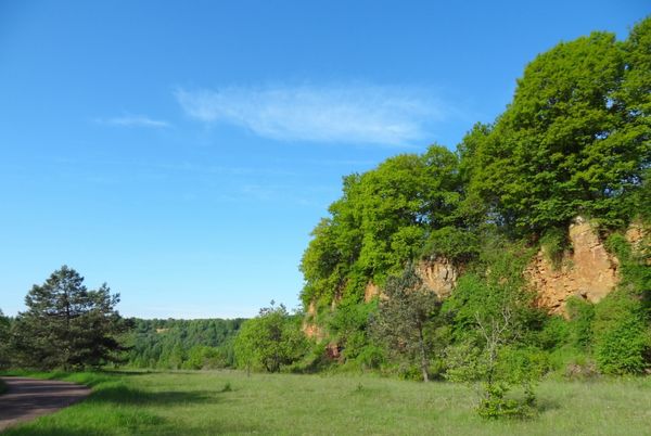
© Tourist Center Clervaux
Éislek Germany France

Local hiking trail CL 2 - Clervaux

Starting point
Clervaux
Destination
Clervaux
Distance
7,07 km
Duration
2:10 h
Difficulty
medium
  • Condition
Highest point
446 Hm
Lowest point
343 Hm
Aggregated Ascent
170 Hm
Aggregated Descent
170 Hm
Circular routes Visit Luxembourg

Description

Scenic Refreshment stops available
From the leisurely afternoon round to the challenging hiking tour, everything is included in the Local Hiking Trails.

The local hiking trails are marked with the abbreviations of the municipality where they start. The larger the number that the marker symbol contains, the longer the circular hiking trail. See for yourself the variety of local hiking trails and the different features in the Éislek region.

Suggestions nearby

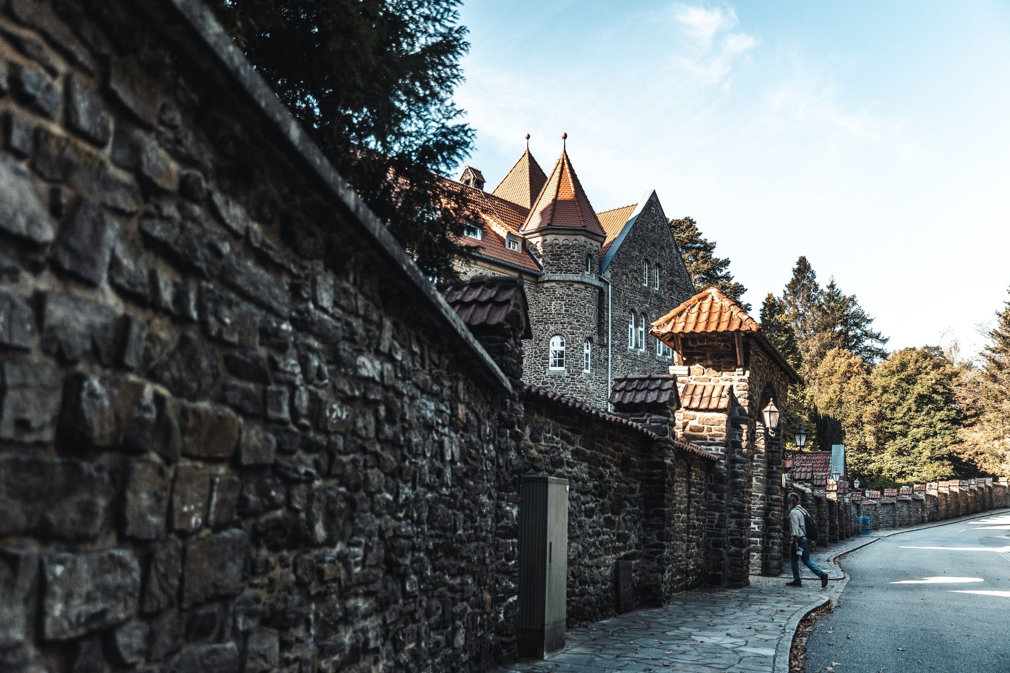
Local hiking trail CL 2 - Clervaux

  • © Tourist Center Clervaux
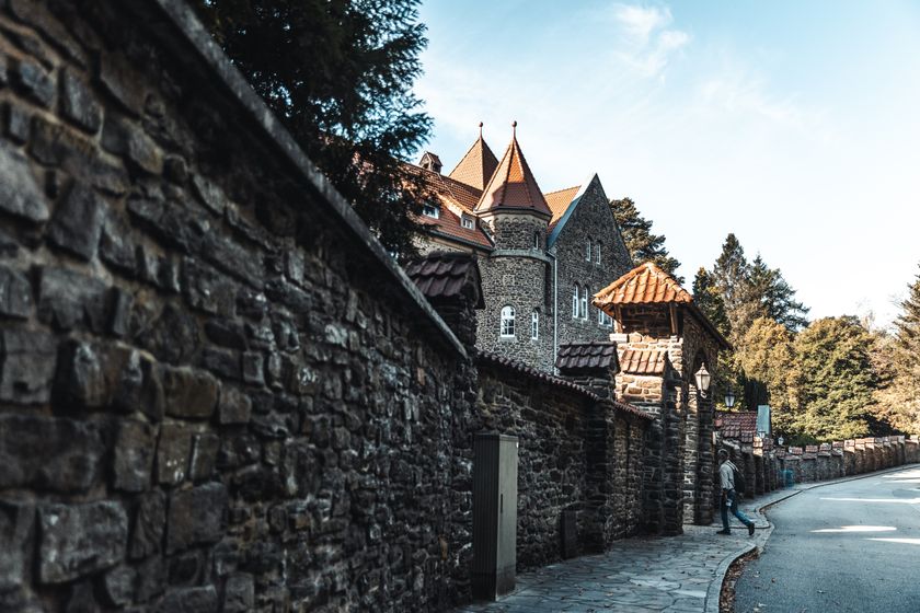
    The Benedictine abbey of Saint-Maurice
    With centuries of history and majestic architecture, the Benedictine Abbey in Clervaux invites you to immerse yourself in the past. A place full of charm and meaning, it opens its doors to visitors on the occasion of the daily morning mass.
    Find out more
  • © Visit Éislek
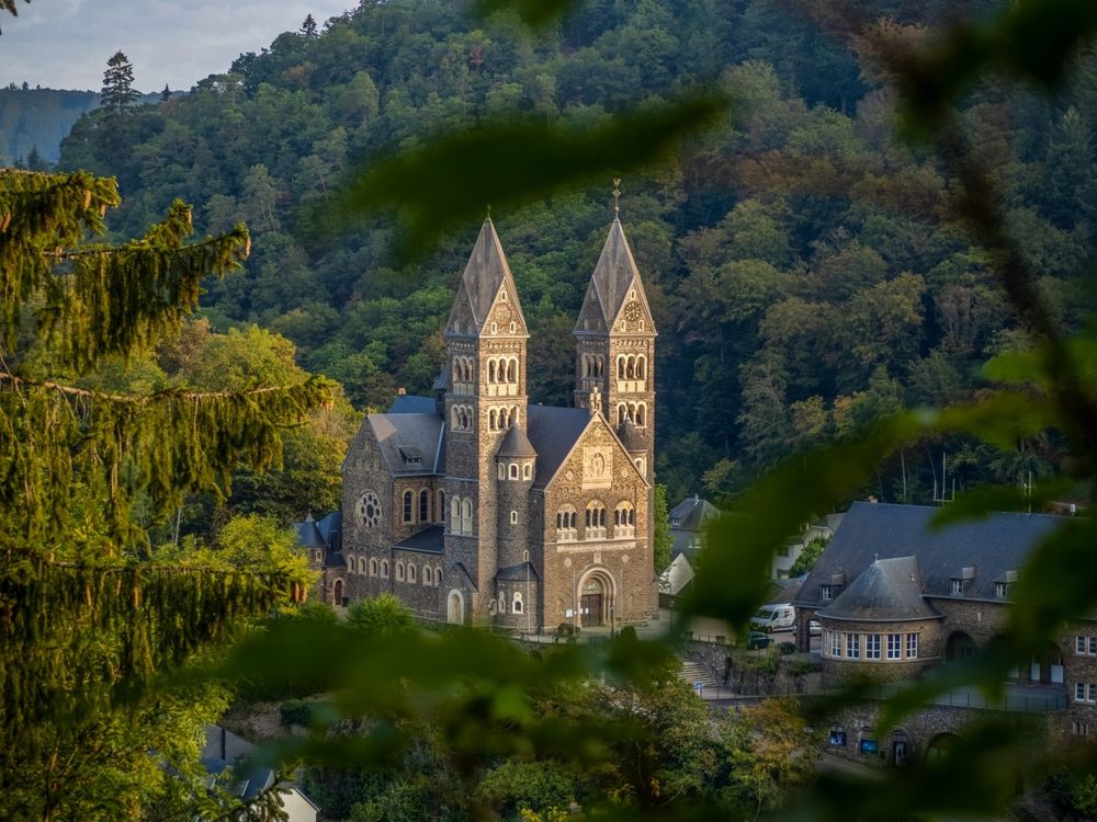
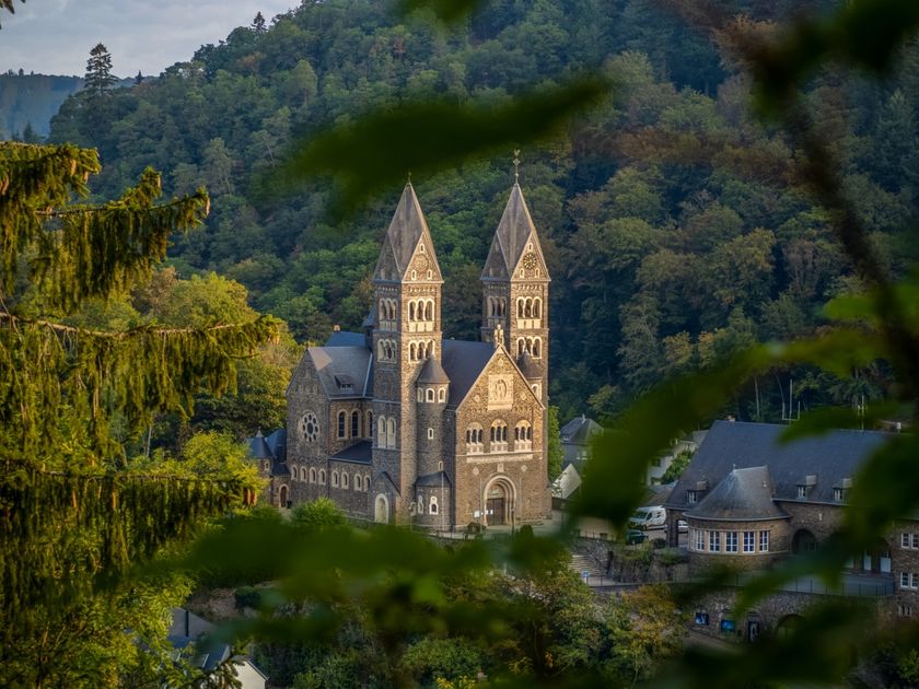
    Church Saints-Côme-et-Damien
    The parish church of Sts Côme et Damien in Clervaux, built in 1910/1911 in the Rhenish-Romanesque style, impresses with its striking dome above the altar and its majestic twin towers with melodic chimes.
    Find out more
  • © Visit Éislek
    free
    with theLuxembourgCard
    Museum of the Battle of the Bulge Clervaux
    Explore the momentous Battle of the Bulge in the museum and gain insight into the decisive liberation of Luxembourg. Immerse yourself in history and discover the consequences of these historic events.
    Find out more

Similar hiking tours

© © Wanderbüro Saar-Hunsrück, Klaus-Peter Kappest, SaarSchleifenLand
Dream loops
"Traumschleife" Schengen without borders
Distance: 8,54 km
Duration: 3:30 h
Difficulty: medium
Find out more
© Visit Luxembourg
Distance trails
21 Station to station Bettembourg - Dudelange-Burange
Distance: 14,66 km
Duration: 3:45 h
Difficulty: medium
Find out more
© CFL, Visit Luxembourg
Distance trails
22 Station to Station Dudelange - Burange - Rumelange
Distance: 10,22 km
Duration: 3:05 h
Difficulty: medium
Find out more
© ORT Sud
Distance trails
23 Station to station Rumelange - Kayl
Distance: 12,57 km
Duration: 3:25 h
Difficulty: medium
Find out more
© Visit Luxembourg
Distance trails
25 Station to station Kayl - Schifflange - Esch-sur-Alzette
Distance: 21,71 km
Duration: 6:05 h
Difficulty: medium
Find out more
© Pulsa Pictures, ORT SUD
Distance trails
26 Station to station Esch-sur-Alzette - Belvaux-Soleuvre
Distance: 9,05 km
Duration: 2:30 h
Difficulty: medium
Find out more
© Visit Luxembourg
Distance trails
27 Station to station Belvaux-Soleuvre-Oberkorn
Distance: 5,20 km
Duration: 1:25 h
Difficulty: medium
Find out more
© ORT Sud
Distance trails
28 Station to station Oberkorn - Niederkorn
Distance: 8,69 km
Duration: 2:25 h
Difficulty: medium
Find out more
© ORT Sud
Distance trails
29 Station to station Niederkorn - Rodange
Distance: 10,12 km
Duration: 2:55 h
Difficulty: medium
Find out more