©ORT Sud
Minett Germany France

23 Station to station Rumelange - Kayl

Hunting Season 2025/26 — Check for hunts

Autumn is here, and that means hunting season has begun! From mid-October to January/February, hunters are active across the country. Stay safe by checking hunt dates in your area on our Map. 

Click on Map in the Header > Services > More > Hunting.

Starting point

Rumelange Station

Destination

Kayl/Tétange Station

Distance
12,57 km
Duration
3:25 h
Difficulty
medium
  • Condition
Highest point
427 Hm
Lowest point
290 Hm
Aggregated Ascent
308 Hm
Aggregated Descent
291 Hm
Distance trails Visit Luxembourg

Description

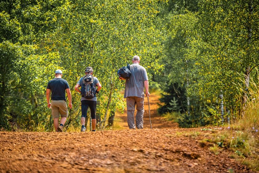
Hike from station to station, between Rumelange and Kayl

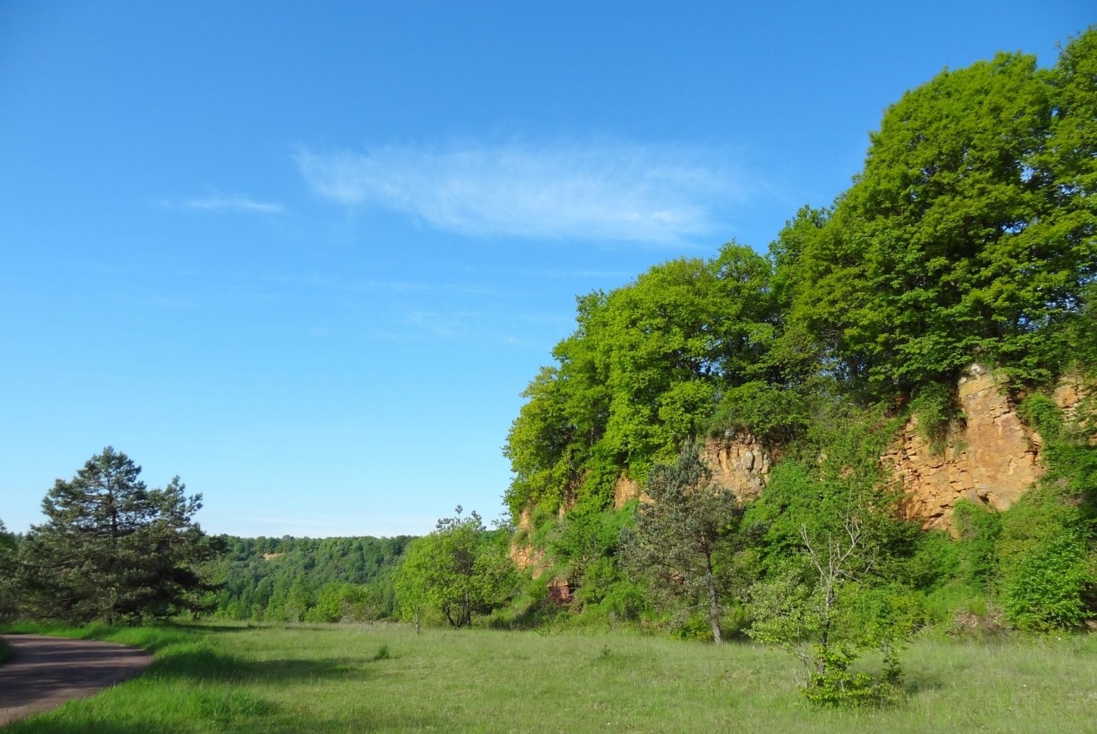
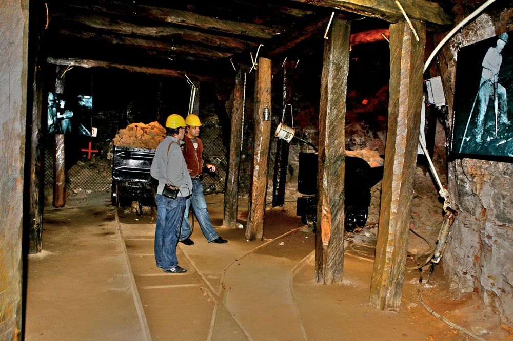
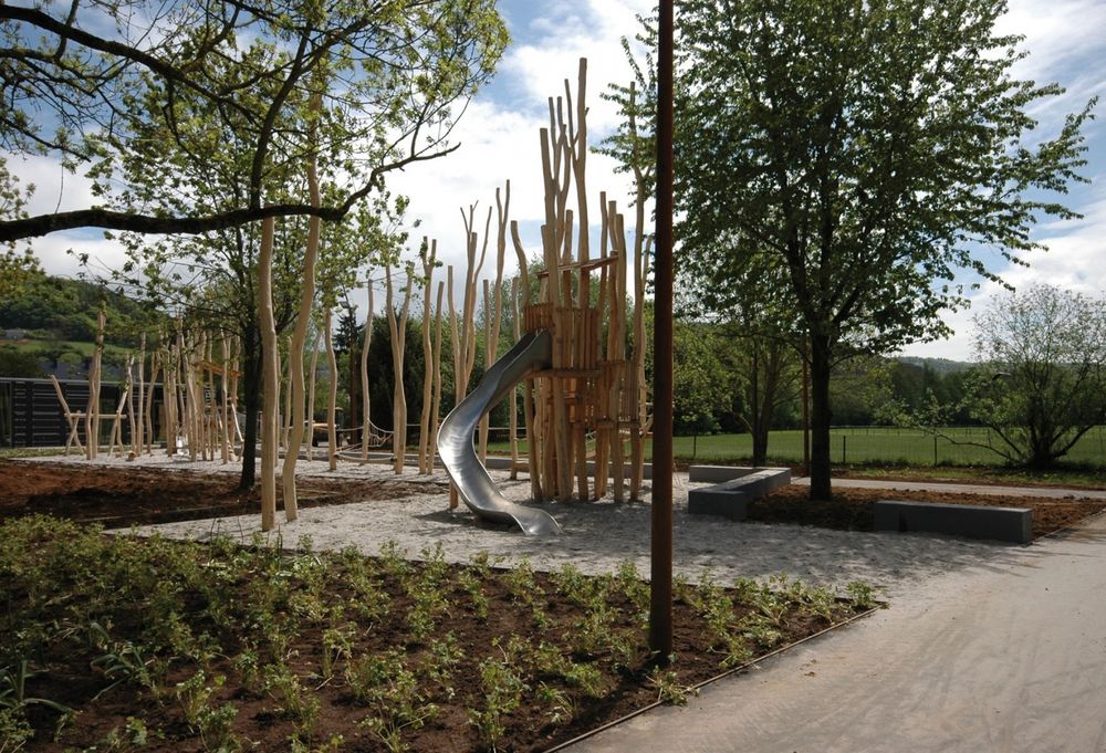
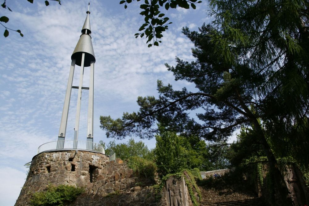
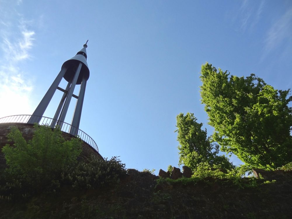
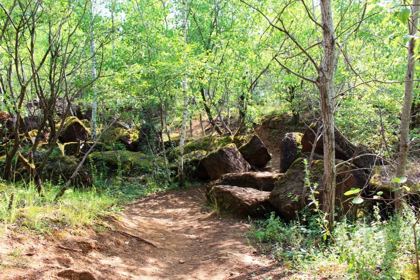
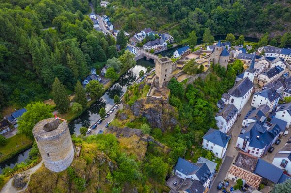
The hiker leaves Rumelange through a former mining area via a steadily ascending route, which at one point touches the border to France. The path leads in a large loop through an extensive forest area. Passing several sights, it then descends to the Kayl station.

You can already finish this route in Tétange. Via the signposted feeder CFL 23a from Bromeschbierg, you reach the Tétange station after descending 900 meters. This shortens the total length of the route to 10.6 km.


Note: Only a few trains run to and from the stations at Kayl, Tétange and Rumelange.
Alternative: Bus. Please take the timetables into account when planning your route.


Suggestions nearby

23 Station to station Rumelange - Kayl

  • ©Pulsa Pictures_ORT SUD
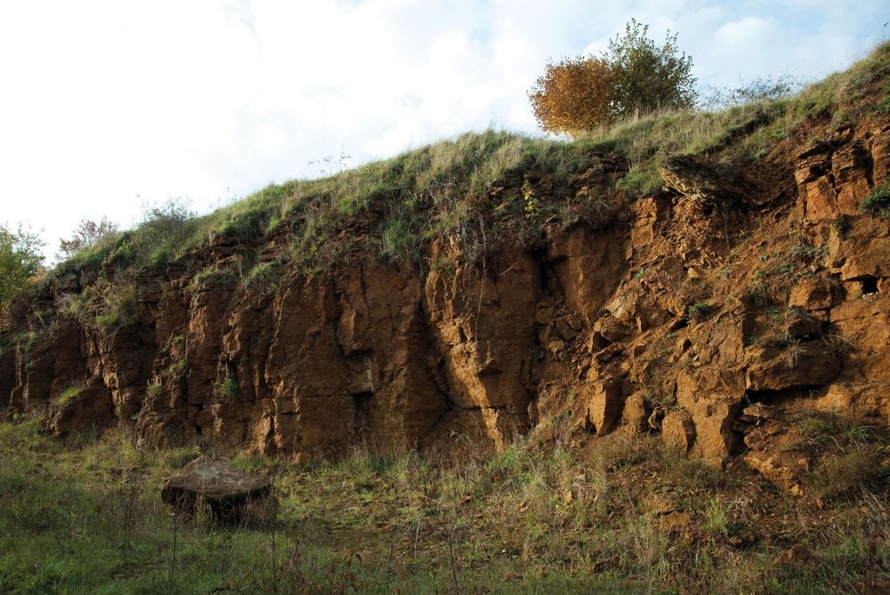
    Nature reserve "Brucherbierg - Lallengerbierg"
    A unique walk among butterflies and orchids
    Find out more
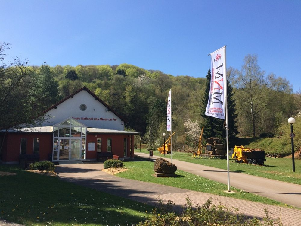
  • ©Musée National des Mines
    free
    with theLuxembourgPass
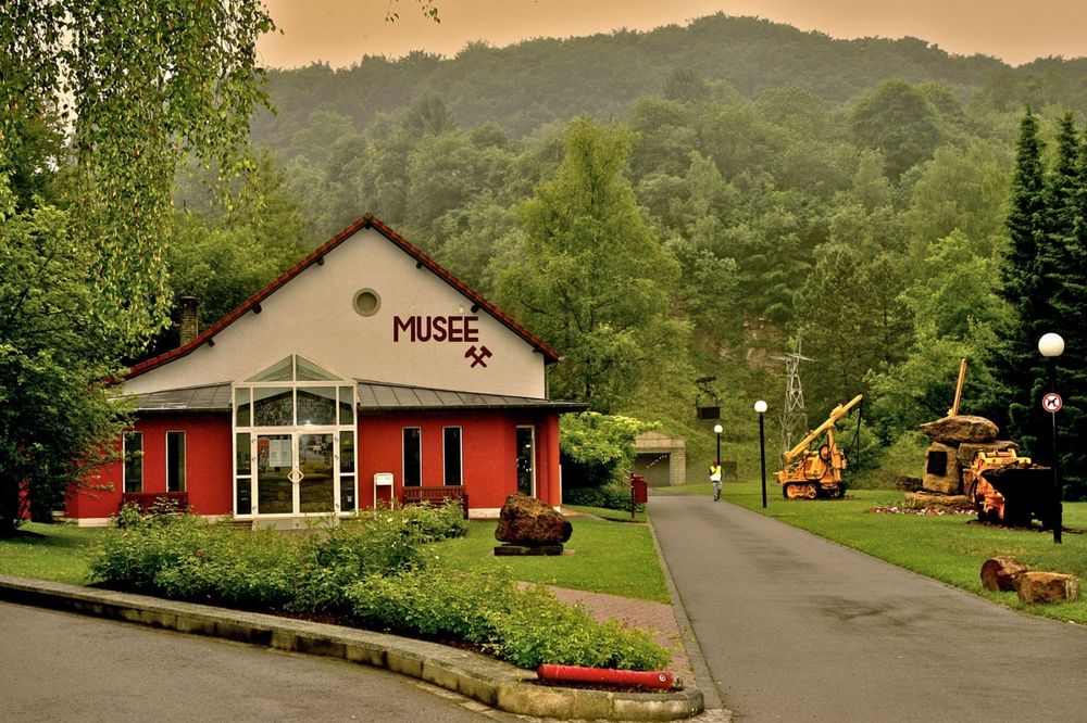
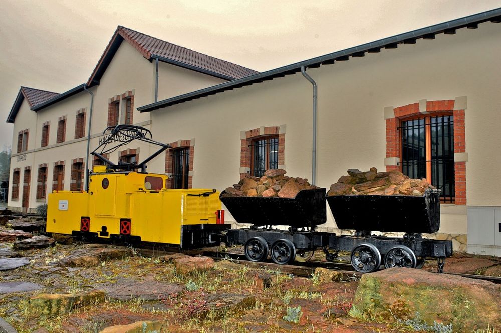
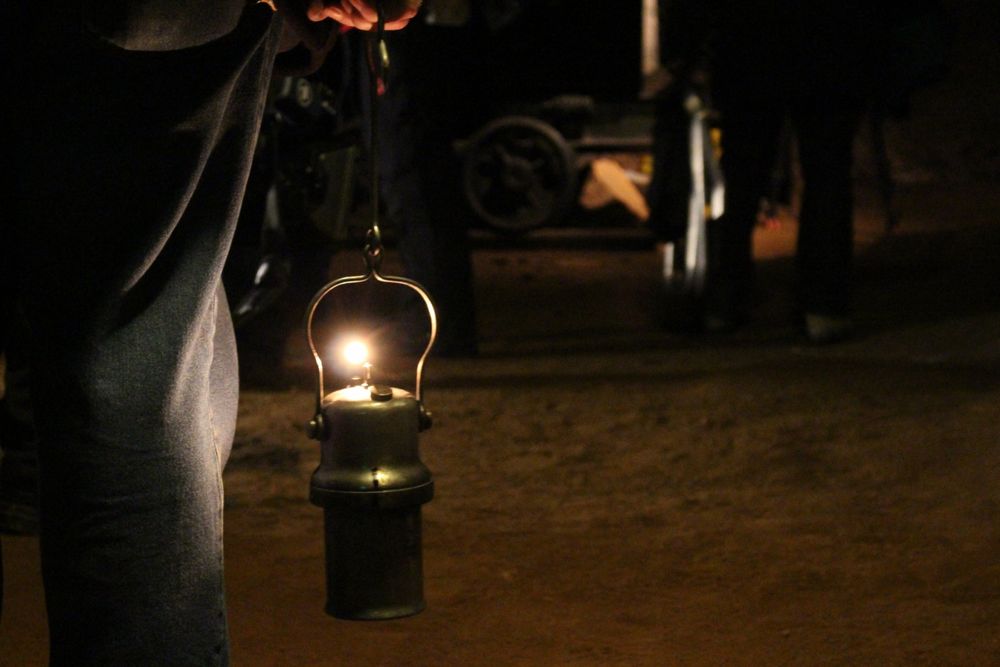
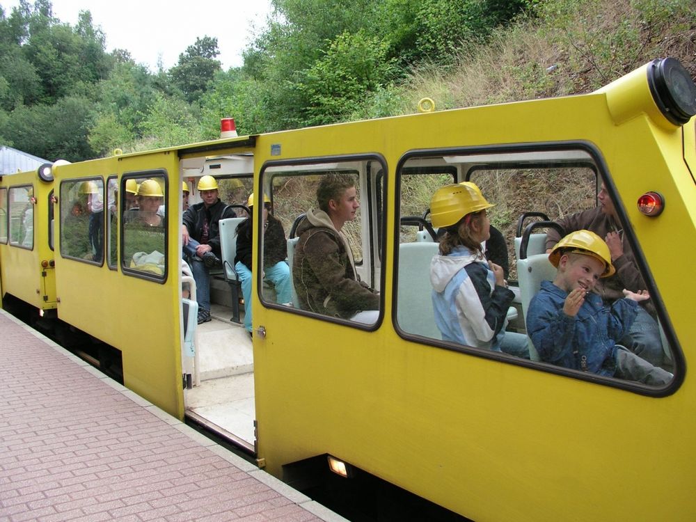
    National Mining Museum
    Life underground
    Find out more
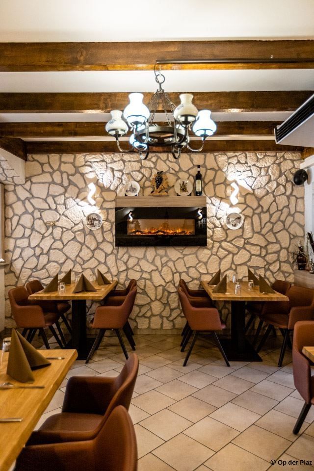
  • Brasserie & Restaurant Op der Plaz
    Brasserie & Restaurant Op der Plaz
    Find out more
  • Dolce & Piccante
    Dolce & Piccante
    Find out more
  • Nature reserve "Haard-Hesselsbierg-Staebierg"
    The largest nature reserve in the country
    Find out more

Similar hiking tours

©Visit Luxembourg
Circular routes
Auto-Pédestre trail Heiderscheid
Distance: 7,97 km
Duration: 2:25 h
Difficulty: medium
Find out more
©Visit Luxembourg
Circular routes
Auto-Pédestre trail Roder
Distance: 7,64 km
Duration: 2:30 h
Difficulty: medium
Find out more
©Visit Luxembourg
Circular routes
Auto-Pédestre trail Arsdorf
Distance: 11,05 km
Duration: 3:10 h
Difficulty: medium
Find out more
©Visit Luxembourg
Circular routes
Auto-Pédestre trail Dahl
Distance: 9,05 km
Duration: 2:45 h
Difficulty: medium
Find out more
©Visit Éislek, Visit Éislek
Éislek Pied
Éislek Path Diekirch
Distance: 14,51 km
Duration: 4:15 h
Difficulty: medium
Find out more
©Visit Luxembourg
Circular routes
Auto-Pédestre trail Consthum
Distance: 7,72 km
Duration: 2:15 h
Difficulty: medium
Find out more
©Visit Luxembourg
Circular routes
Auto-Pédestre trail Gralingen
Distance: 9,47 km
Duration: 2:50 h
Difficulty: medium
Find out more
©Visit Luxembourg
Circular routes
Circuit du Lac (eastern part)
Distance: 16,79 km
Duration: 5:30 h
Difficulty: medium
Find out more
©Visit Luxembourg
Circular routes
Auto-Pédestre hiking trail Binsfeld
Distance: 8,68 km
Duration: 2:30 h
Difficulty: medium
Find out more
outdooractive This website uses technology and content from the Outdooractive Platform.